States with National Monuments
Home
Travel
Main NPS
Idaho National Monuments
Craters of the Moon National Monument and Preserve
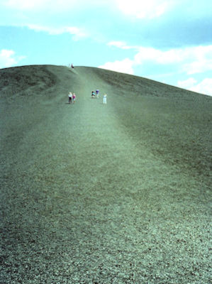
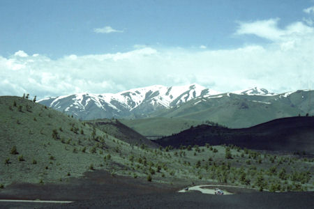
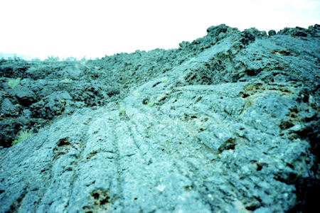
5/29/1995 On to Craters of the Moon National Monument [NPS and BLM]. Heavy volcanic area, with many cinder cones and lava
flows. Climbed up a black hill of cinder for a great view of the lava area and the snow-capped mountains in the distance. Hiked
on many trails. Saw snow/ice still in a deep narrow cinder cone, and climbed a little way down into a lava cave.
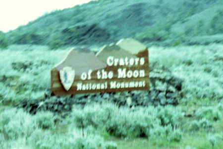
The park sign
|
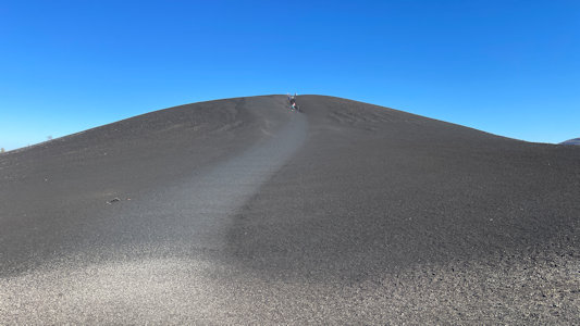
Maureen way up on a cinder hill
|
A beautiful view across black then green to white
|
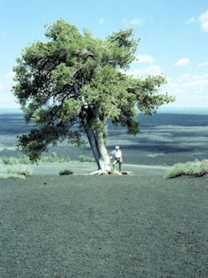
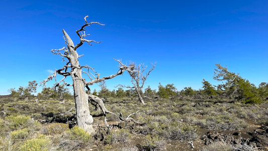
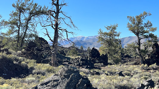
Me, and a tough tree
|
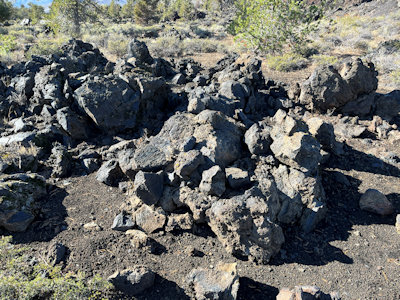
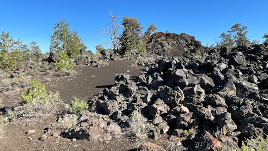
Lots o' lava
|
Craters of the Moon National Monument and Preserve
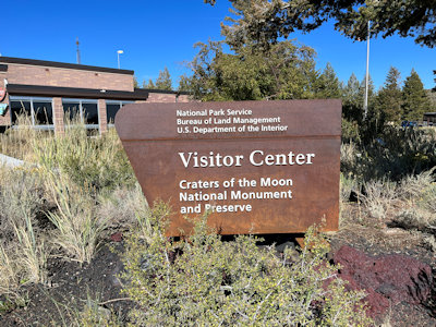
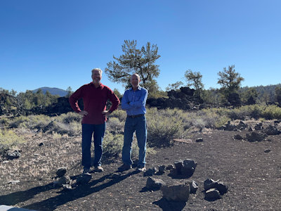
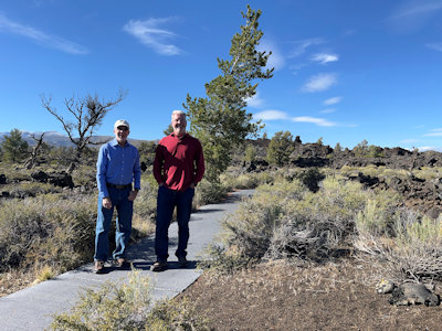
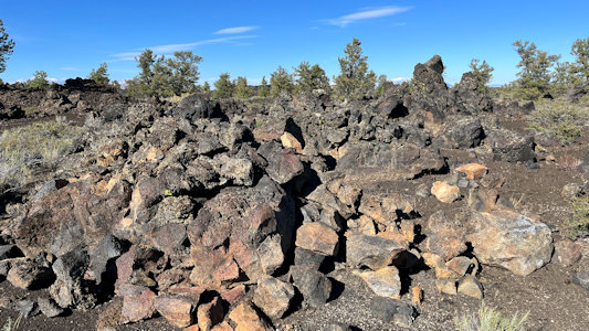
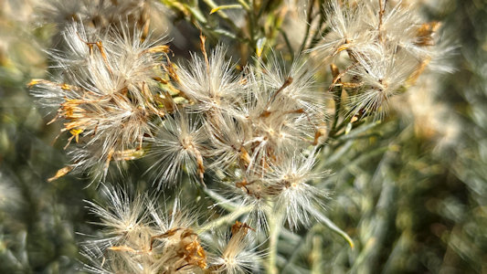
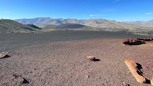
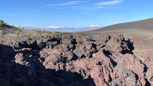
9/23/2023 From there we entered Craters of the Moon National Monument & National Preserve and spent almost two hours in this cool place.
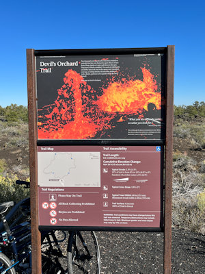
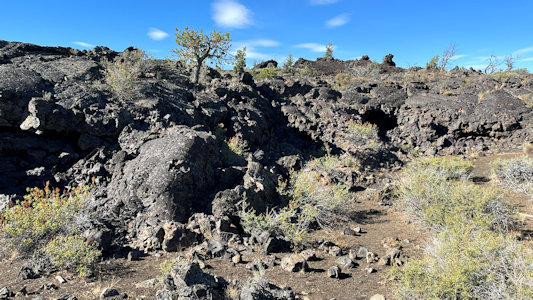
After getting maps and Unigrid at the VC, we drove the loop road, checking out the fantastic volcanic creations. We walked the Devil’s Orchard Trail NRT,
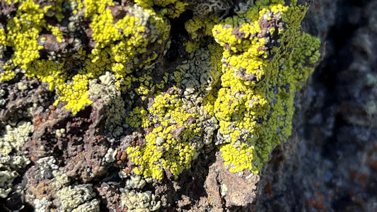
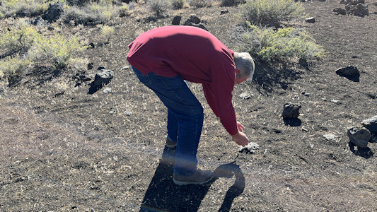
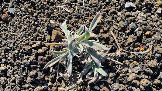
a paved loop that features large chunks of lava carried down from the nearby craters. Here we could see things close up, including lava chunks and structures,
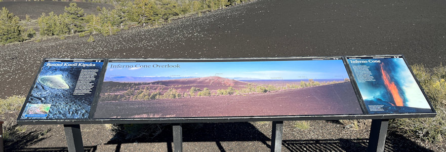
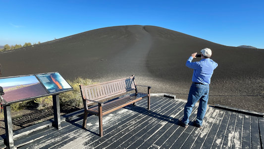
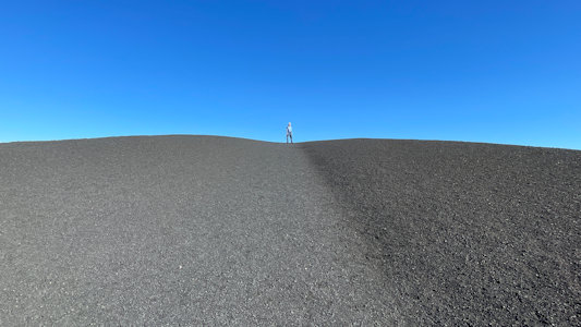
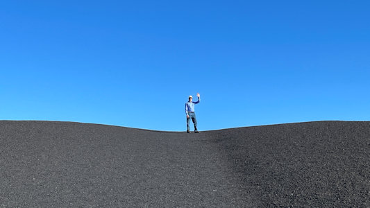
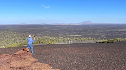
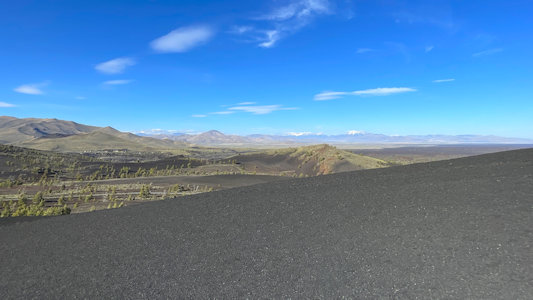
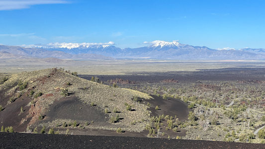
as well as the plant life that manages to grow there. At the Inferno Cone we hiked up the face of a huge cinder hill, totally bleak and barren, just the fine
black cinder. The views at the top, after catching our breath, were tremendous. We could see beautiful snow-capped mountains in the distance, and closer
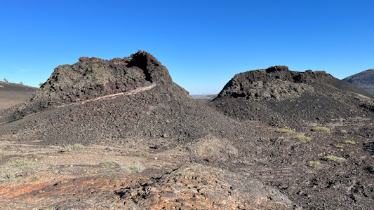
in the different features of the Monument, including spatter cones. We drove to them next, where we could view down into these little cones made of big chunks
of lava that bubbled and spattered out of the ground. The whole area of the Monument/Preserve is also part of the Great Rift of Idaho NNL, which represents
a tensional fracture in the Earth's crust that may extend to the crust-mantle interface and also illustrates primary vegetation succession on very young lava
flows. Sadly, noting the time, we exited the park ...
The park sign at the VC
|
Devil’s Orchard Trail NRT sign
|
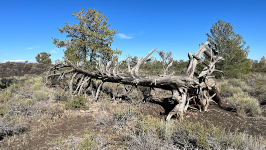
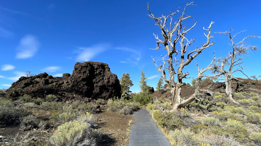
Cool dead tree
|
Lava chunks
|
More of the scrubby trees
|
... checking out lava formations
|
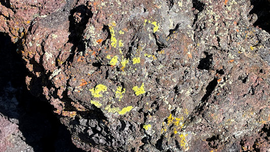
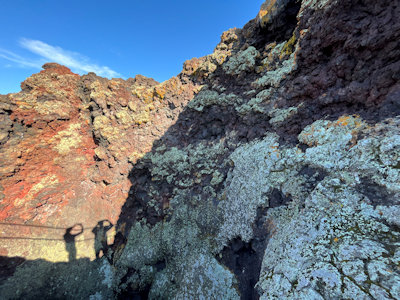
Bright lichen
|
Ken and me ...
|
Cool stuff everywhere
|
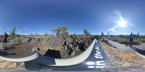
Nice 360 from atop some signage
|
A look at the NRT ...
|
... and us
|
Ken photos ...
|
... a hardy little plant
|
The trail and distant mountains
|
One last pile of lava rocks
|
Nice detail of a plant
|
Signage about Inferno Cone ...
|
... that I photo
|
Little tiny people ...
|
... including ...
|
... me
|
I take ...
|
... this panorama
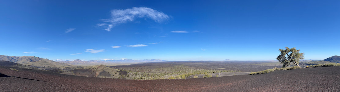
|
Across the cinder cone ...
|
... the distant mountains
|
Ken checks out the view, ...
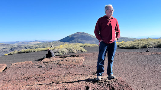
|
... which is pretty spectacular
|
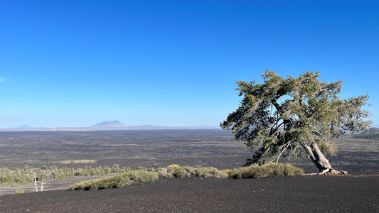
A lone tree ...
|
... now a little less lonely

|
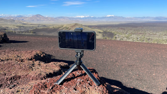
I set up ...
|
... the camera for ...
|
... a photo of us
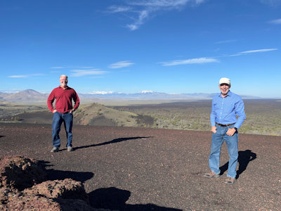
|
Another cool 360 from the same spot
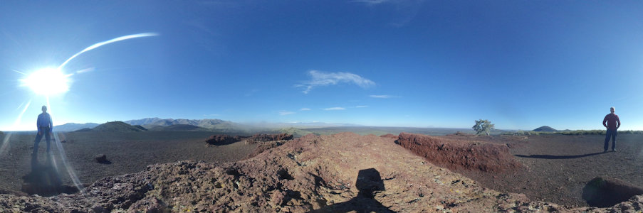
|
A look at the spatter cones ...
|
... where we'll head next
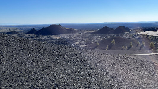
|
Signage at ...
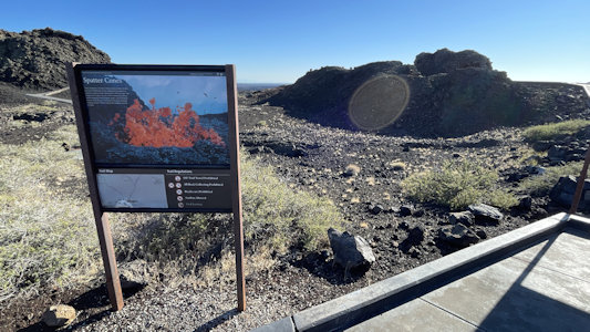
|
... the cinder cones
|
More lichen
|
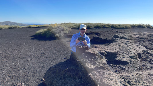
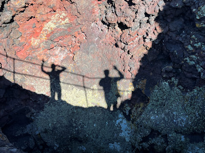
Inside a cone ...
|
... is us - helloooo
|
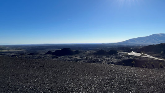
One last cool vista
|
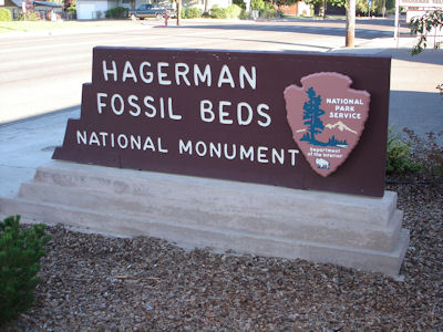
Hagerman Fossil Beds National Monument
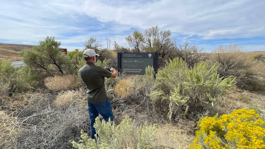
9/15/2005 Headed west to Hagerman, arriving at Hagerman Fossil Beds NM visitor center at 9:00, unfortunately still closed.
Got some brochures outside and went a short ways across the Snake River to the NM. Not a whole lot here; nice views of the hills with fossil
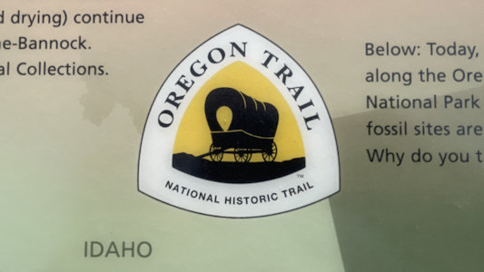
strata and the river. Took a short hike along the Oregon Trail [NHT in ID].
The park sign
|
Signage, the fossil area, and me
|
A wide view of the park area
|
On the Oregon Trail
|
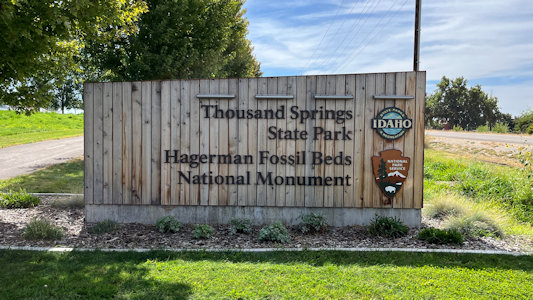
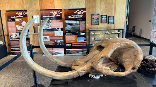
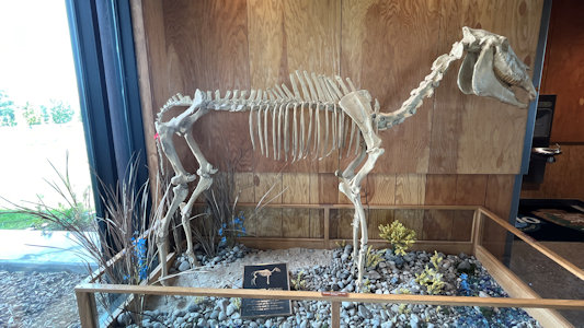
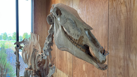
9/25/2023 Just a little more brought us to the outskirts of Hagerman and the VC for the Hagerman Fossil Beds National Monument.
This is new since I was here last; I was too early to enter the old VC in a small building in town. In this very attractive building we checked out the
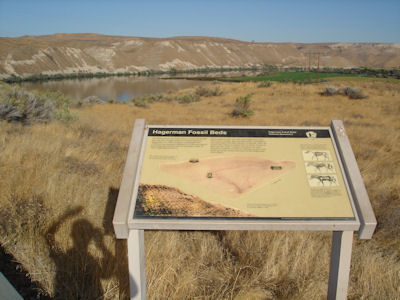
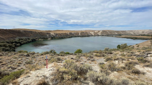
many fossils, real and cast, of the various animals for which evidence has been found. Continuing into the park area, we stopped first at a scenic
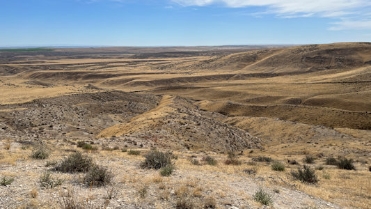
overlook high over the Snake, which while not that attractive at this location being at a backwater bend, offered views of a gazillion ducks. Up higher
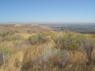
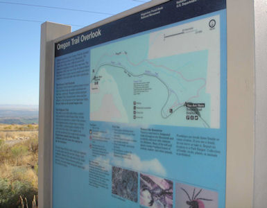
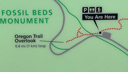
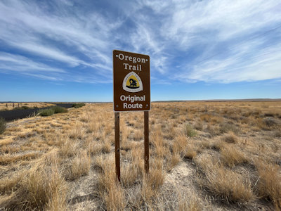
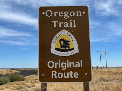
on the park road, we parked at a point that offered sweeping views into the distance including the Snake. We took a short walk along the Oregon Trail
NHT with more evidence of the original trail, emphasizing the difficulties the travelers must have had over this seemingly impossible terrain.
The park sign at the VC
|
Me checking out ...
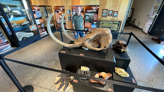
|
... cool exhibits
|
More examples of ...
|
... area fossils
|
Me photoing ...
|
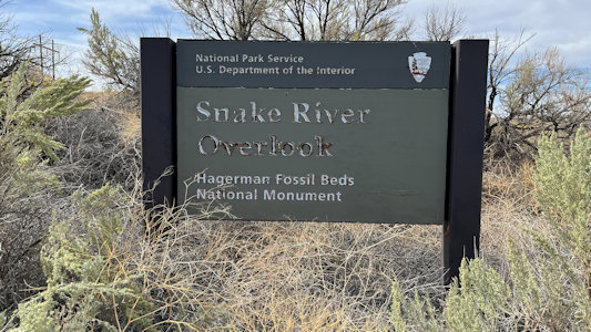
... a Snake River overlook sign
|
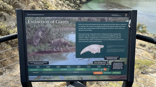
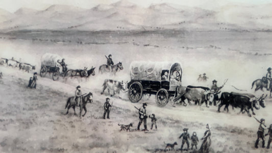
Interpretive info ...
|
... about the river overlook
|
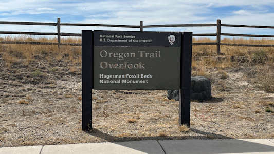
Further in the park at the Oregon Trail
|
Orienting info
|
A fellow visitor
|
At the trail overlook ...
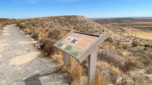
|
... with interpretive info ...
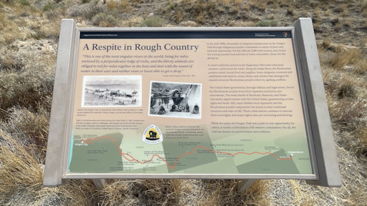
|
... about what it looked like
|
It's official
|
A long look back at the trail area
|
I photo ...
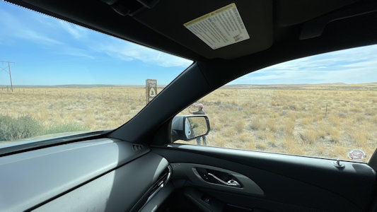
|
... where the trail crossed ...
|
... and the NHT sign
|