Home
Travel
Byways
Minnesota Scenic Byways
Grand Rounds Scenic Byway
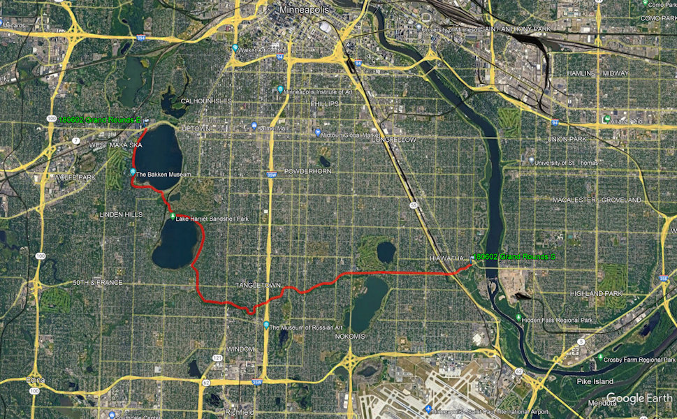
Total Segments Traveled
6/2/2018 Leaving the JH for this trip just north of the (closed for construction) High Bridge in St. Paul, we navigated to
an eastern part of the Grand Rounds NSB, and followed it clockwise to the western side. This was a very pleasant drive along streams and through
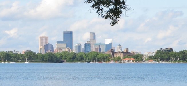
long thin parks. Near the end we went halfway around Lake Harriet on the east side and then Bde Maka Ska (Lake Calhoun) on the west side.
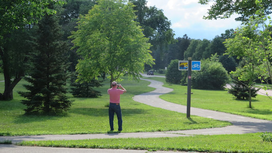
Me taking photos
|
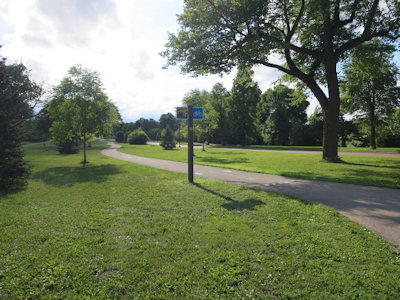
The paths ...
|
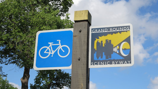
... and sign
|
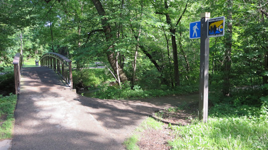
Another nice path over the river
|
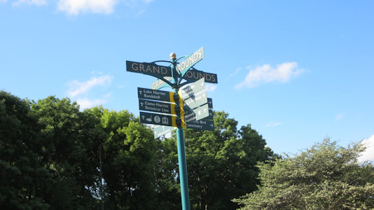
Street signs near the lake
|
Across Lake Calhoun to the city
|
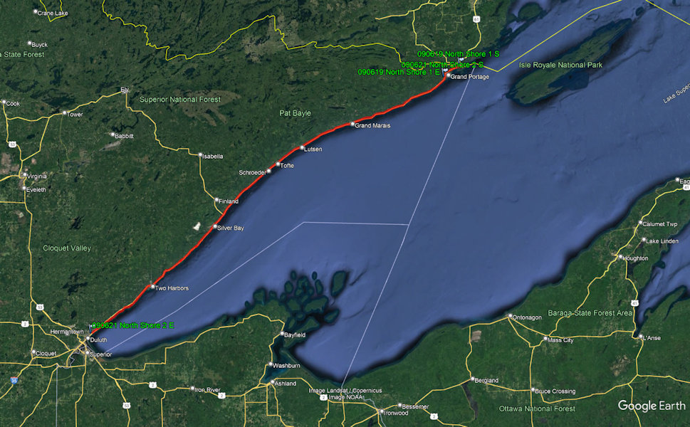
North Shore Scenic Drive
Total Segments Traveled
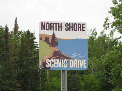
6/21/2009 Headed south from GP on the North Shore Scenic Drive Byway (which we stayed on all the way to Duluth).
North Country Scenic Trail
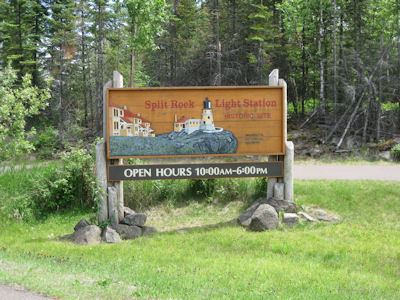
[Cascade River SP] ... then south again to Split Rock Lighthouse SP [Split Rock Light Station NHL]. Paid admission here, and walked a short
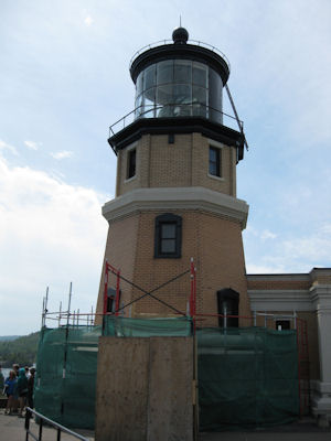
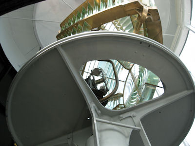
way to this short-ish lighthouse on a tall, steep cliff. After checking out an exhibit area, we walked to the top of the lighthouse
for a look at the lens and some good views. Unfortunately, the view from the ground of the lighthouse wasn’t great due to reconstruction
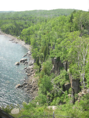
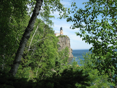
equipment. To get good views from further away we walked down 171 steps on a boardwalk/stairs to the beach, where it was definitely a
good view up the cliffs. Weather is starting to turn a little overcast and breezy, but nice to walk around in.
North Country Scenic Trail
[Gooseberry Falls SP] Continued south as rained started into Duluth.
The Byway sign
|
The Split Rock Lighthouse sign
|
The lighthouse from the high cliffs ...
|
... and the cliff view
|
The lighthouse light and lens
|
A nice view from the beach below
|


