Home
Travel
BLM
Utah Bureau of Land Management
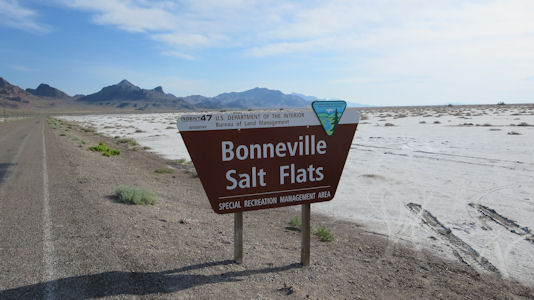
Bonneville Salt Flats Recreation Area
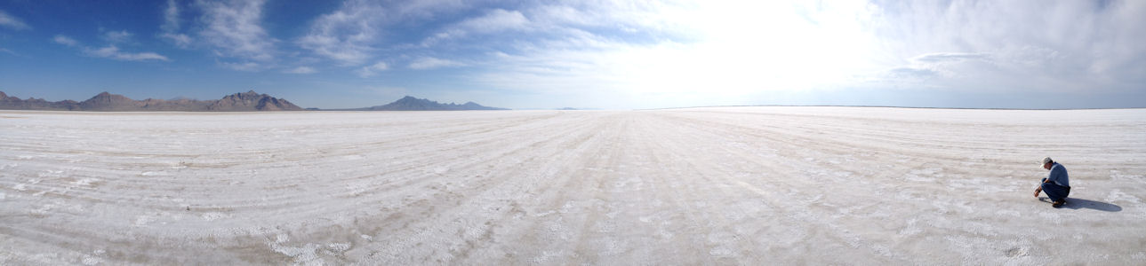
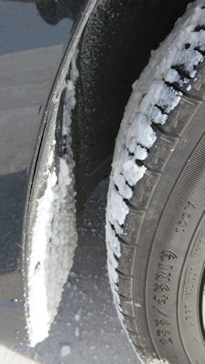
5/23/2014 Heading back east in UT a little we got off for the BLM viewing area of the Bonneville Salt Flats Recreation Area.
The view here is very cool, with the endless stretch of white running off to the mountains. The salt (which we tasted and deemed “very salty”) was
actually quite moist, but another visitor said the summer sun baked it down flat and dry. We took the rental car out for a speed run (maybe peak
70 mph) and Ken said the car felt a little loose. On the way back I put my camera out the window for a video that was ill-advised – the camera
got caked with salt, even on the lens. After cleaning up with lens wipes, later I noticed a permanent mark on the lens. The car was covered as
well, particularly in the wheel wells, and our shoes made the floors a mess. Oh well – it was worth it.
The park sign
|
A panaorama with me taking ...
|
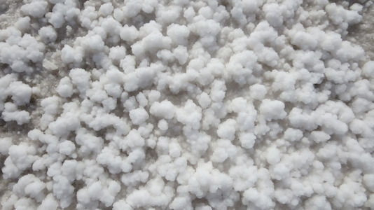
... a cool close-up
|
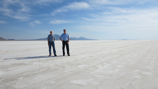
Ken and me
|
What a mess!
|
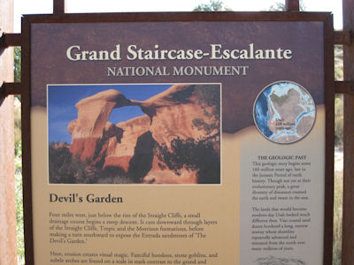
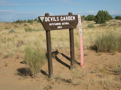
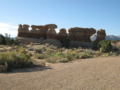
Grand Staircase-Escalante National Monument
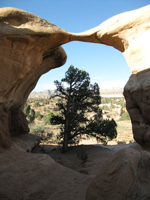
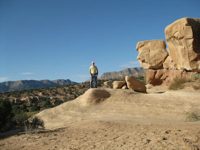
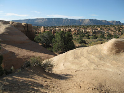
9/18/2009 Near Escalante, turned onto Hole In The Rock Road, a dirt and gravel road I took for 12 miles into
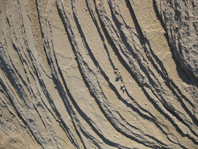
Grand Staircase-Escalante NM [BLM] and to the Devil’s Garden. Here are all sorts of “hoo-doos” – towering formations of eroded sandstone.
Had fun wandering around and climbing in the still-cool weather.
The park sign
|
Sign for Devil's Garden
|
Long shot of hoo-doos
|
Cool detail
|
A lonely tree
|
Me and some hoo-doos
|
Mountains in the distance
|
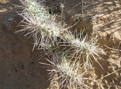
Cactus up close
|
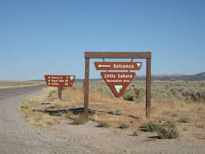
Little Sahara Recreation Area
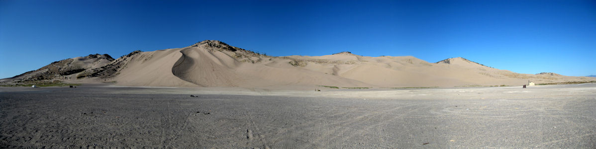
9/17/2009 After dropping down into the Great Basin, headed west to Little Sahara RA [BLM]. This is a remote area
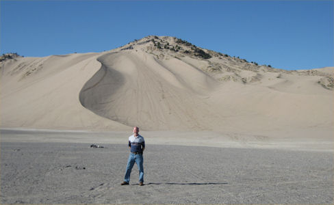
of huge sand dunes that are mostly used for sand dune buggy-type recreation. I drove to the base of the biggest and although the site
is set up for lots of folks (bathrooms, camping areas) there were only a few there that I could watch.
The park sign
|
Huge dunes ...
|
... little me
|