![]()
The Dixie Highway was an auto trail first planned in 1914 to connect the Midwest with the South. The final system is better understood as a network of connected paved roads, rather than one single highway. It was constructed and expanded from 1915 to 1929. In the same manner as the Lincoln Highway, my brother Ken and I have the goal of completing the entire route from north to south in large segments. This entails flying to the start and flying back from the end of the segment. All along the way we do our best to travel the original historic alignments, be they on concrete, brick, gravel or dirt. Unlike the Lincoln Highway, the Dixie has far fewer remaining original elements such as markers and bridges, but we do our best to find them.
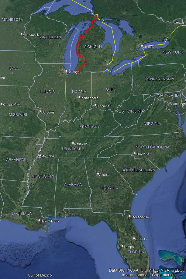
Bbelow is a map of the route we've completed so far, captured by our GPS.
Here are photos of some of the DH-oriented sites we found along the way:
Our traveled route so far on Google Earth: