Home
Travel
NPS States
NPS Types
National Parks - California
Channel Islands National Park
5/29/1999 Drove to harbor and checked in at Island Packers
at 7:30. Got on a smaller boat (~25 people) and headed out in overcast skies,
good size swells. A little over an hour to East Anacapa Island in the Channel
Islands NP chain. Hung out on one side looking at seals and birds, then backed
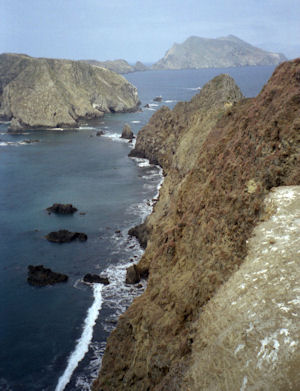
into a ladder in a high, vertical cliff cove and got out. Climbed 150 steps up
the cliff to the NPS building area. Took a nice walk around the island seeing
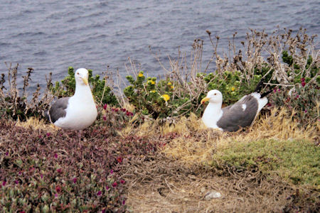
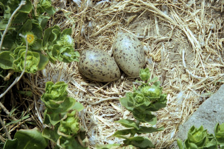
many nesting gulls, some with eggs, some with babies. Nice views over steep
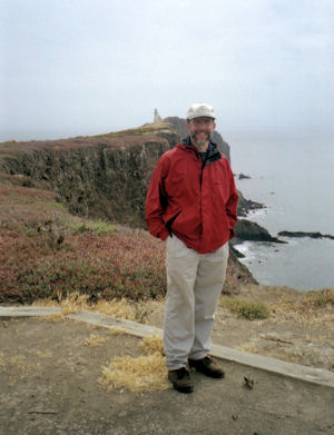
cliffs. Back to NPS area for lunch we had brought, then a walk up to the
lighthouse. Back to the boat for the trip back. On the way back, joined up with
a huge pod of dolphins that were surfing along right under the boat where we
were standing – really great!
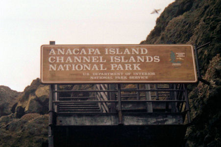
The park sign
|
Some of the locals ...
|
... and locals-to-be
|
Me and the lighthouse
|
Great view
|
Joshua Tree National Park
5/25/1996 Drove down I10 to south entrance station of
Joshua Tree National Park. Drove north through the park, stopping here and
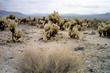
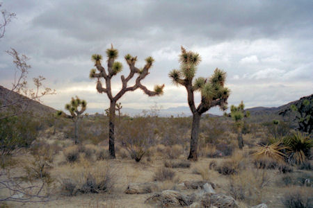
there. Very interesting desert park, with Yucca, Cholla and Joshua Trees the
most interesting.
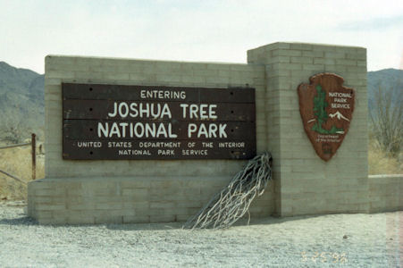
The park sign
|
An interesting landscape
|
Joshua Trees
|
Kings Canyon National Park
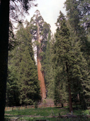
5/27/1999 ... then on into Kings Canyon NP. Drove to the Grant Grove, and took another trail around trees and fallen
logs. Time to hit the road ... .
Grant Grove
|
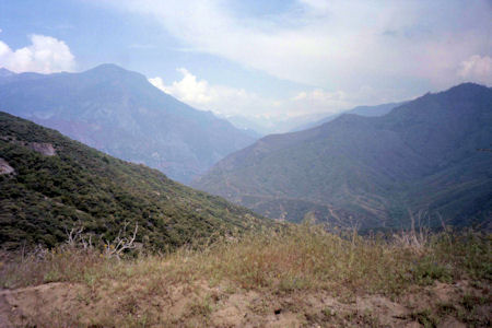
Nice vista
|
Lassen Volcanic National Park
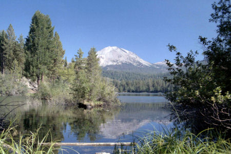
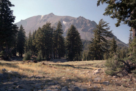
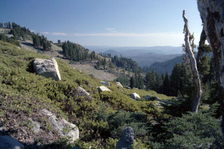
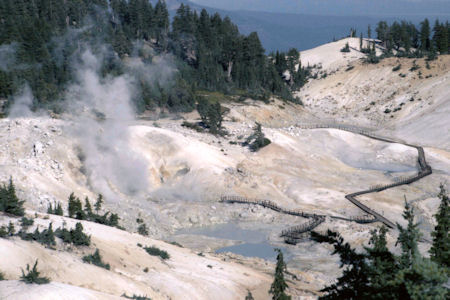
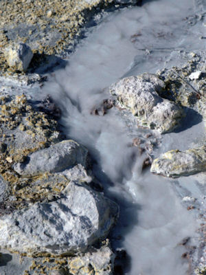
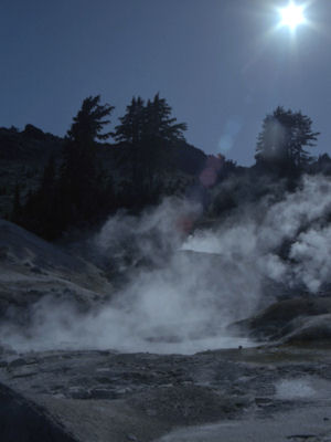
8/19-23/1985 Continued to Lassen Volcano National Park - walked trails to bubbling mud, saw beautiful views of mountain.
Lake reflection of the volcano ...
|
... and one from a meadow area
|
What a view!
|
The Bumpass Hell area
|
Steamy flow ...
|
... and rising clouds
|
Pinnacles National Park
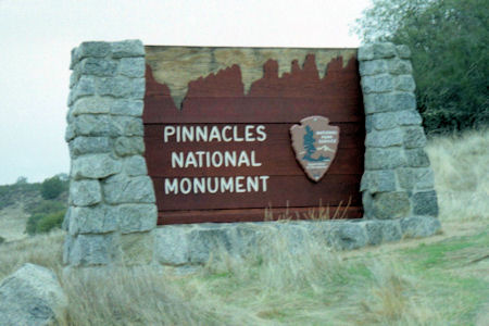
11/16/1996 Drove down to west side of Pinnacles National
Monument. After 10 miles down steep, winding road
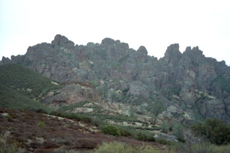
1 1/2 lanes wide, hit end. Nice views of pinnacles, although starting to rain a bit. Took a short walk collecting rocks.
The park sign (when it was a Monument)
|
The eponymous pinnacles
|
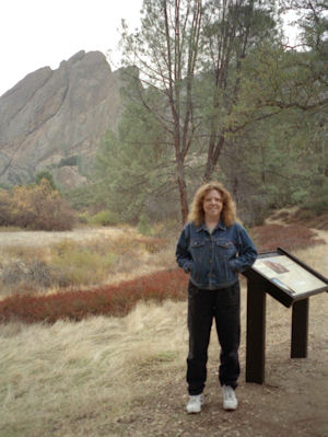
Maureen by some interpretive signage
|
Redwood National Park
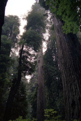
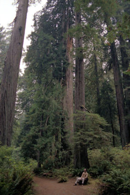
9/9/1988 Drove ... down through Redwood National Park. Stopped at visitor center, took 5 minute trail in woods.
These trees are amazing
|
Me and a giant
|
Sequoia National Park
5/27/1999 Drove up north, then east into Sequoia NP. Initial roads into park are incredibly steep, winding
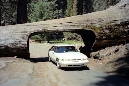
switchbacks up the mountains. Weather is great. Stopped at the visitor center, then into the Sequoia groves. Parked the car on an old fallen
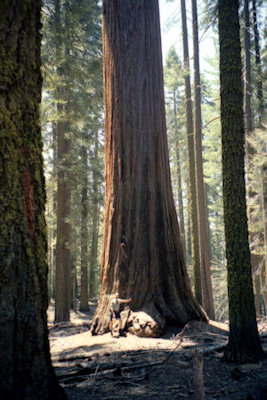
dead tree, and drove through a tunnel in another. Had a nice picnic lunch of bread, cheese and dried fruit. Walked a nice trail through the
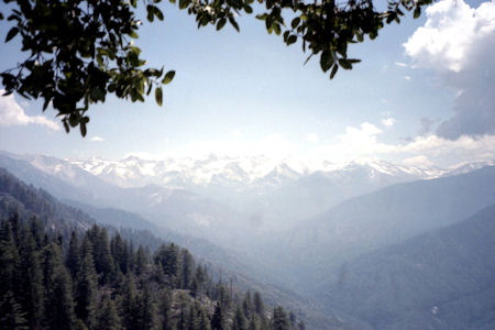
trees (Sequoias are tremendous!), then up stairs and switchbacks up a huge rock formation on a mountainside. A tough climb, but the payoff was
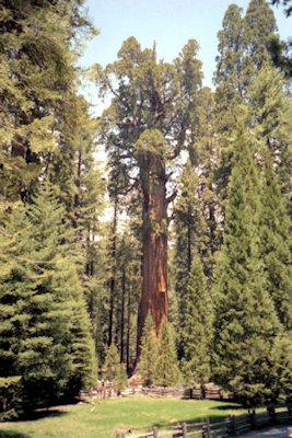
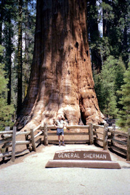
a great 360 degree view of the Sierra Nevada range. Continued along the road to the General Sherman Sequoia, the world's largest living thing.
Magnificent! From here to another visitor center/village for shopping and ice cream ...
.
A nice view of the Sierras

|
A tree tunnel
|
I look tiny
|
Snow-capped beauty
|
General Sherman
|
The General and me
|
Yosemite National Park
6/3-9/1985 Also went to Yosemite NP alone.
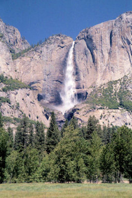
Upper Yosemite Falls
|
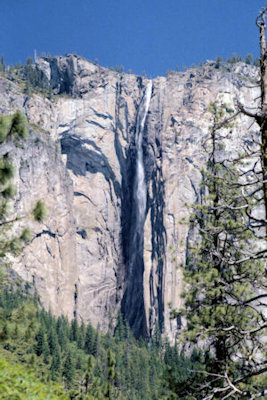
Ribbon Falls
|
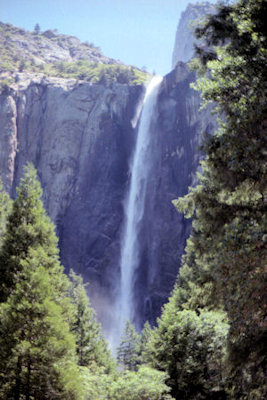
Another falls shot
|
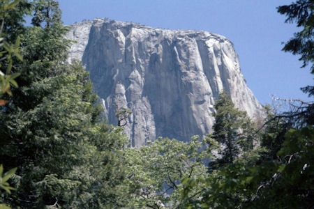
El Capitan
|
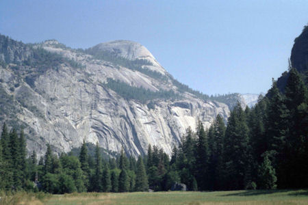
9/12/1988 Toured Yosemite NP valley, upper Yosemite Park.
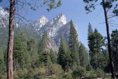
The Three Brothers
|
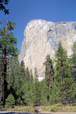
El Capitan
|
Half Dome
|
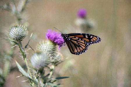
One of the smaller pretty sights
|
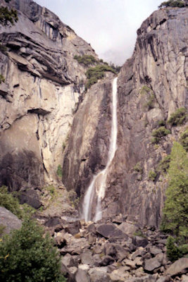
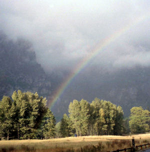
10/29/1991 Drove east to Yosemite NP. On way through pass
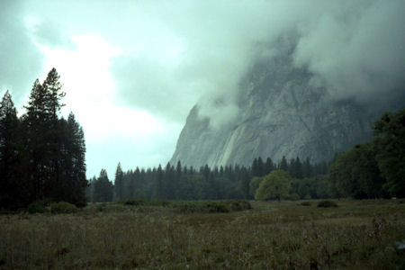
to valley, lots of heavy fog with snow on the ground. In valley, beautiful views
with clouds/fog on top of formations, light rain occasionally. Stopped at
visitor center and Indian museum and lunch. Drove around loop a few times -
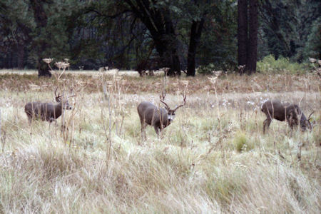
stopped at Lower Yosemite Falls (nice!), pulled over on road for deer pictures
(a few bucks eating) and rainbow pictures, ended up at Bridal Veil Falls
[included Merced WSR].
Lunch time for the deer
|
Mountins disappearing into the clouds ...
|
... and falls coming out
|
One benefit of a cloudy day
|


