Home
Travel
NPS States
NPS Types
National Military Parks - Multi-State
Chickamauga and Chattanooga National Military Park (Georgia, Tennessee)
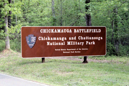
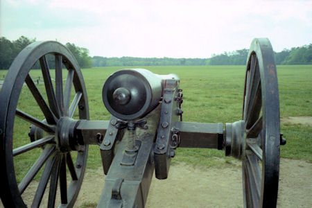
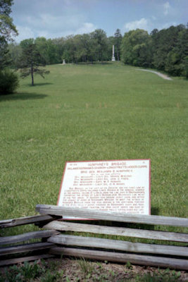
5/5/1996 Back down the mountain and over to Chickamauga National Battlefield [GA].
Hundreds of plaques, monuments, cannons, etc. mark the progress of the battle, indicating which divisions
were where, etc. Lots to read if you wanted to.
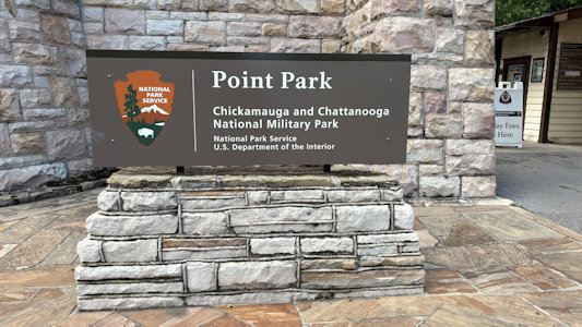
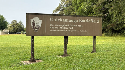
The park sign
|
One of the many cannons
|
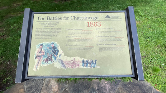
Interpretive signage
|
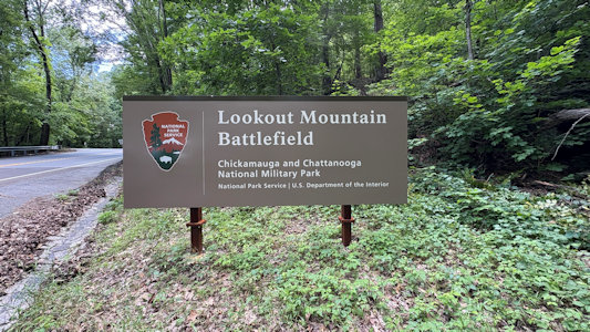
5/30/2025 Chickamauga and Chattanooga National Military Park (NPS TN). In 1863, Union and Confederate forces fought for control
of Chattanooga, known as the "Gateway to the Deep South." The Confederates were victorious at nearby Chickamauga in September. However, renewed fighting
in Chattanooga that November provided Union troops victory and control of the city. After the fighting, a Confederate soldier ominously wrote,
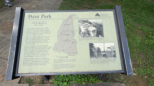
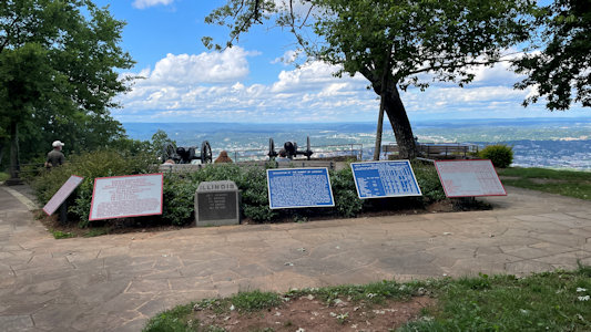
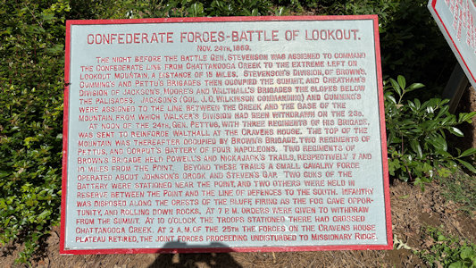
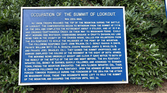
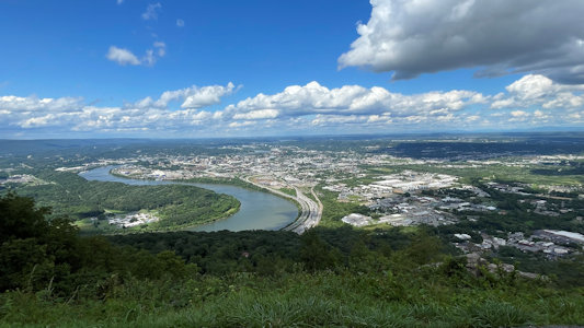
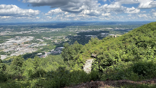
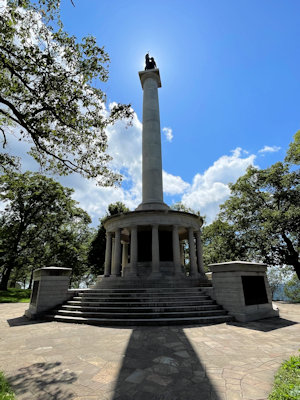
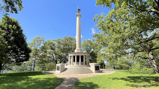
"This...is the death-knell of the Confederacy." [Point Park] commemorates the "Battle Above the Clouds" fought on Lookout Mountain in 1863. This spot
offers spectacular views down on the Tennessee River and the city of Chattanooga, and includes the tall New York Peace Monument. Heading back down the
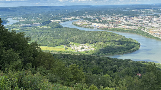
mountain into ... [Chattanooga] ... We drove north over the river onto the peninsula formed by a deep bend in the river to ...
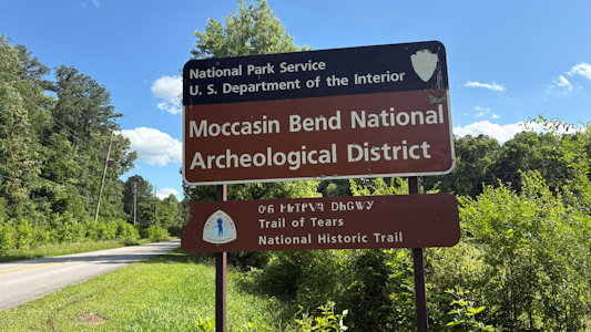
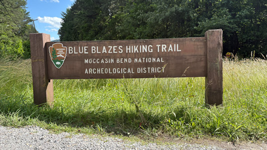
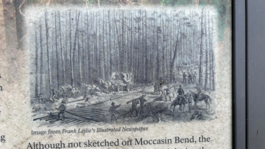
Moccasin Bend Archeological District NHL.
This site contains a highly diverse set of Native American remains from the Archaic, Woodland, and Mississippian periods, Spanish artifacts
from the 16th century, and earthworks from the Civil War Battle of Chattanooga. Here we did take the wrong path out to a radio transmission station before
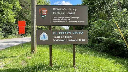
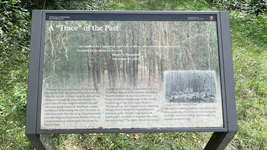
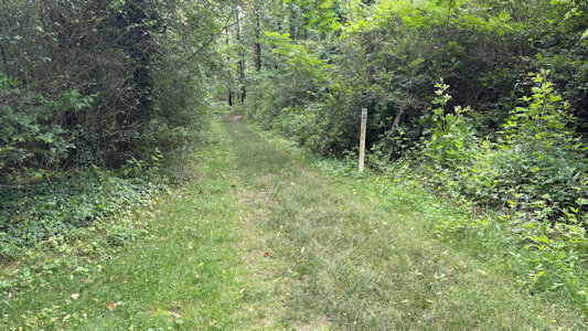
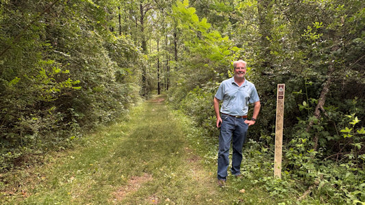
finding the correct interpretive trail right at the parking lot. Back up the road just a little at a stop for Brown’s Ferry Federal Road we took a short
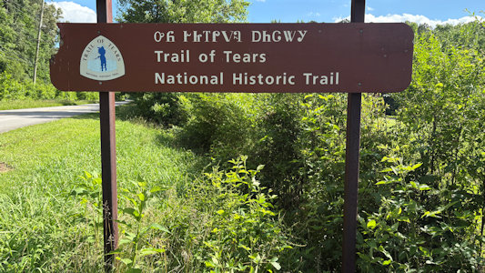
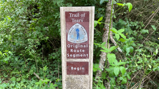
stretch on another interpretive trail that “… traverses a portion of the road trace emigrating groups of Cherokee walked over during the Trail of Tears
in 1838 and Union army supply wagons rumbled over during the Civil War in 1863.” Both Moccasin Bend and Brown’s Ferry Federal Road are on the ToT NHT and
part of the C&C NMP.
The park sign
|
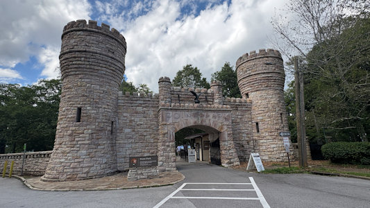
Cool castle entrance ...
|
... to Point Park
|
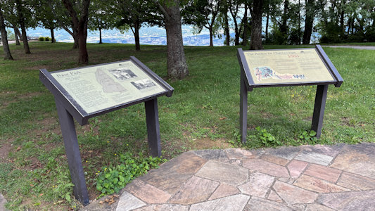
Lots of ...
|
... interpretive ...
|
... signage
|
Yikes - even more ...
|
... interpretive ...
|
... signage
|
Requisite cannons ...
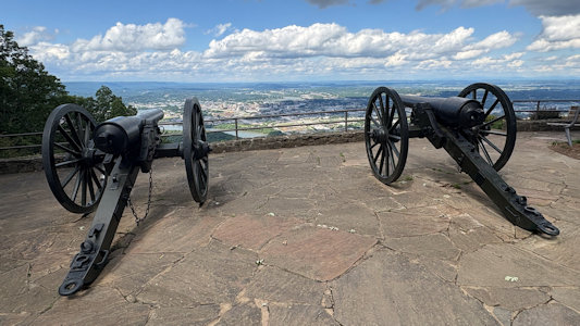
|
... at a fantastic overlook
|
Moccasin Bend and Chattanooga
|
Looking south and east of town
|
Nice shot of ...
|
... New York Peace Monument
|
Moccasin Bend area ...
|
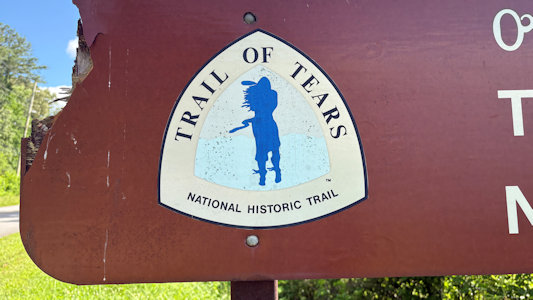
... with ToT sign ...
|
... and emblem
|
Hiking trail sign
|
Me photoing ...
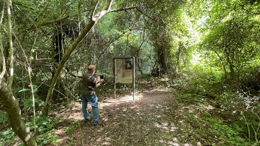
|
... the trail info sign
|
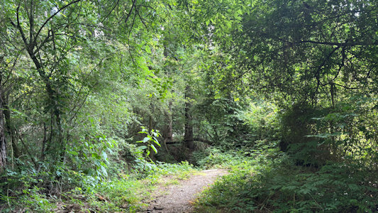
A view along the trail
|
Me on a little bridge ...
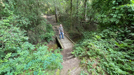
|
... taking a representative photo ...
|
... for the NHL
|
Sign for Brown's Ferry and ToT
|
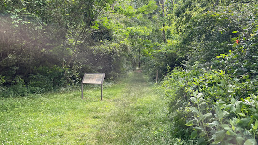
Signage at the parking area ...
|
... and along the trail
|
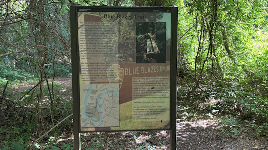
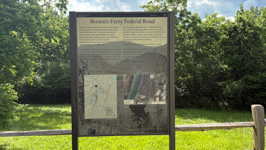
Info about the ToT ...
|
... and the corduroy road here ...
|
... along this path
|
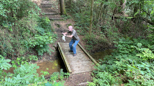
Ken on the trail ...
|
... with ToT blaze
|
5/31/2025 Chickamauga and Chattanooga National Military Park (NPS GA). In the late summer of 1863 the Union Army of the Cumberland
under the command of General William Rosecrans maneuvered south from middle Tennessee with the objective of capturing the city of Chattanooga, the gateway
to the Confederacy. By late September, much of the Union Army crossed Lookout Mountain south of the city and threatened to cut off the Confederate Army of
Tennessee, commanded by General Braxton Bragg. Bragg's Confederates withdrew towards LaFayette, Georgia. Both armies then engaged in a game of cat and
mouse among the hills and coves south of Chattanooga. In [the battle’s] wake were a broken Union army and 35,000 men killed, wounded, missing, and captured.
The victorious Confederates controlled the field, and soon followed the Union Army to Chattanooga and prepared to lay siege. Right off the DH, we entered
the battlefield area and drove a large loop of the big Georgia unit of the park. It was a beautiful day, and we spent a little more time than expected
checking out the endless statues, monuments, memorials and cannons spread out along the roads and fields.
The park sign
|
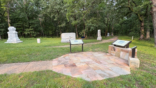
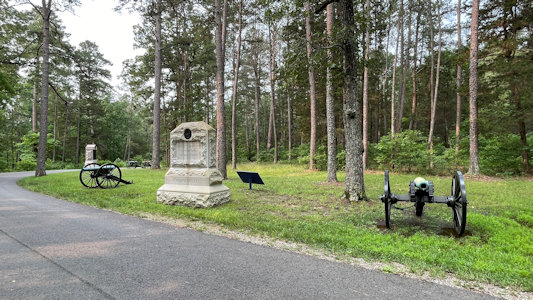
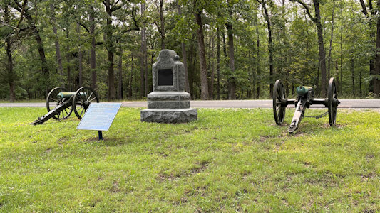
A memorial/monument area ...
|
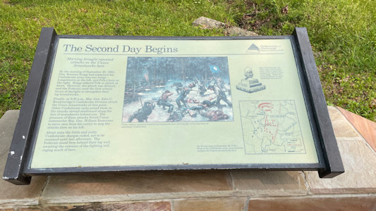
... with interpretive signage ...
|
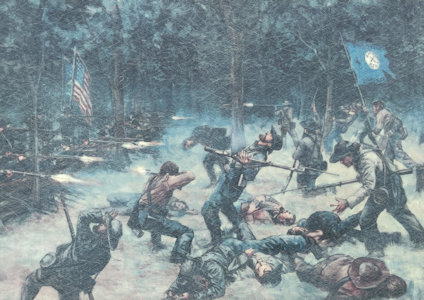
... and gruesome detail
|
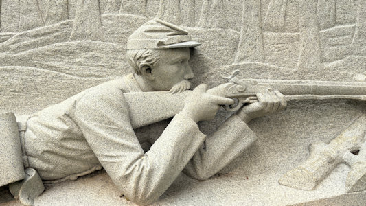
One of many impressive monuments ...
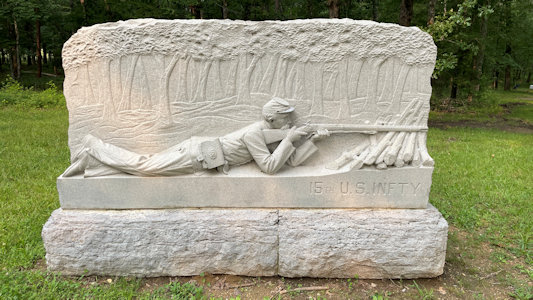
|
... with great detail
|
Watch out Ken!
|
Another area from the front ...
|
... and back
|
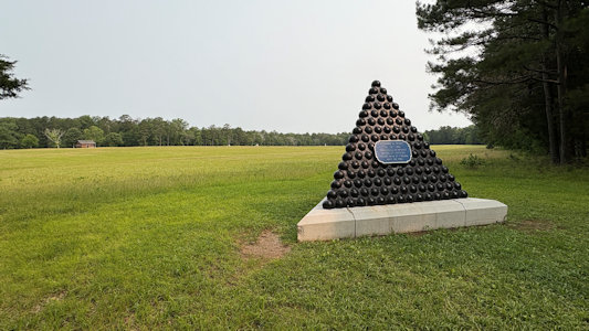
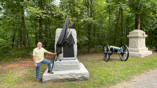
Col. King memorial on the battlefield
|
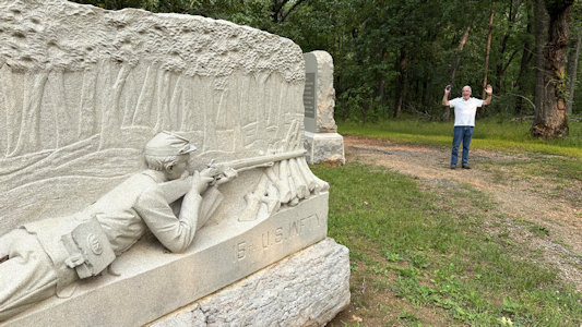
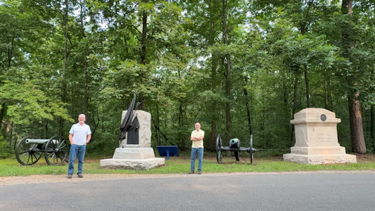
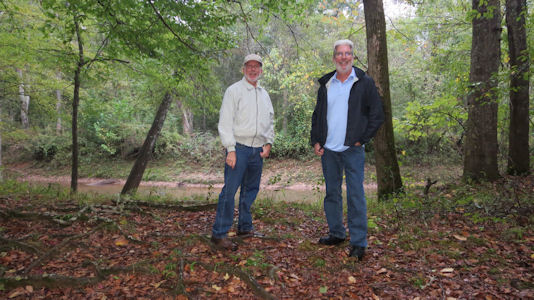
I set up for ...
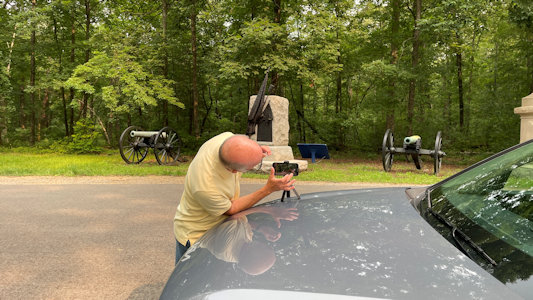
|
... a photo of Ken and me
|
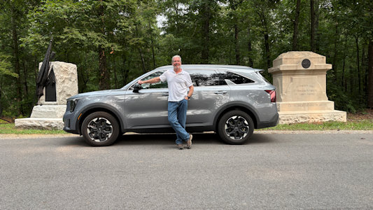
Ken and our ride
|
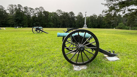
Me at the Battery M memorial
|
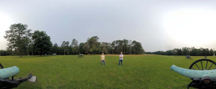
Yet another area ...
|
... with a nice 360
|
Shiloh National Military Park (Mississippi, Tennessee)
5/22/2003 ... then on to Shiloh NMP [MS](in Tennessee Civil War National Heritage Area). Big park with lots
of cannons, monuments. Good film at the visitor center, then an excellent talk and demo on infantrymen and
musket firing by ranger in Confederate uniform. Drove a little of the park road to the Tennessee River.
The park sign
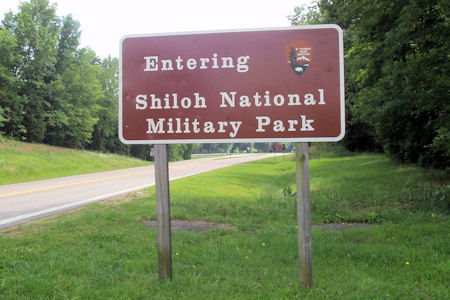
|
Me at a VC display
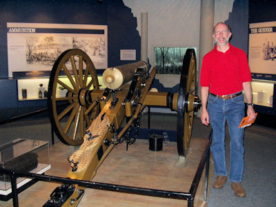
|
The National Cemetery
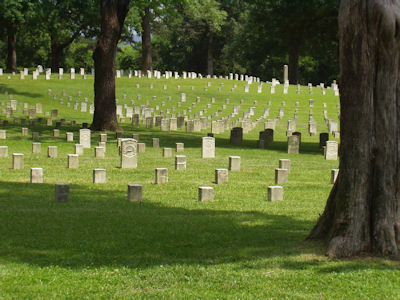
|
The usual cannons
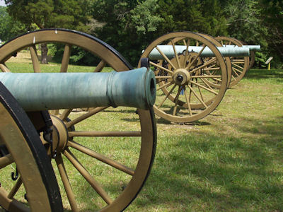
|
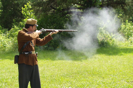
A nice musket firing demo
|
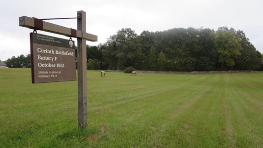
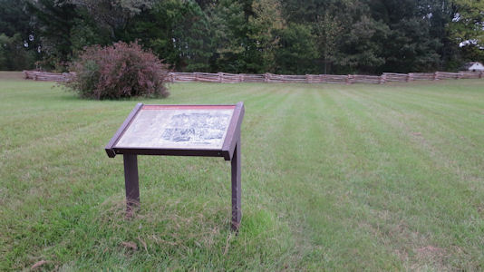
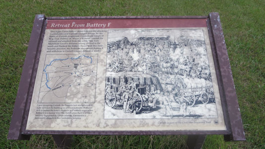
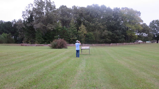
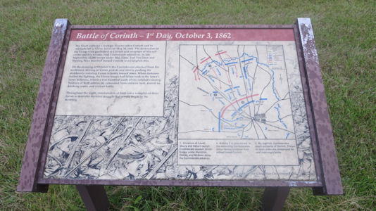
10/15/2017 Slightly out of town we stopped at the Battery F site in the NHL and as well in
Shiloh NMP [MS]. This was just a big field with a split rail fenced area where the Battery was and a couple of interpretive
signs planted seemingly randomly out on the grass. By now it had been raining on and off and was noticeably cooler,
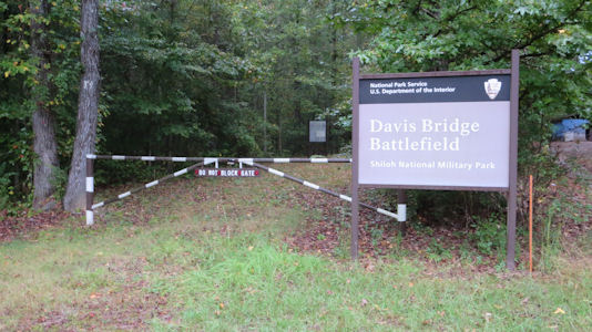
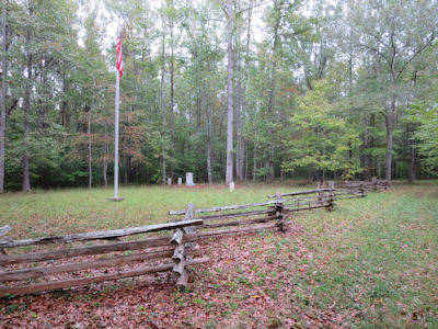
so we didn't spend much time here (not that there was much to do anyway). For our final stop we continued west then
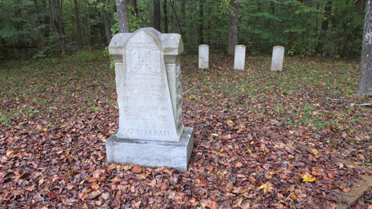
north up into TN for the Davis Bridge Battlefield site in the NHL, Shiloh NMP [TN] and the Tennessee Civil War NHA. It rained pretty hard while driving
but luckily stopped as we meandered through little country roads finally ending at a pullout which sure enough had an
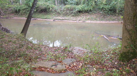
NPS sign. Ken had planted a waypoint right at the Hatchie River in Pocahontas and after a little walk we passed a stone
memorial area and then found the interpretive signage at the river. Since the trees were dripping water and the
mosquitoes were out in force we found our way back to the highway ...
The park sign
|
A sign looking at the battery area
|
That sign
|
Ken photoing ...
|
... another sign
|
Another park sign here
|
A memorial area ...
|
... with markers
|
Ken near ...
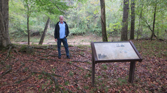
|
... a sign by the river
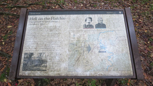
|
The Hatchie River
|
Me and Ken
|