Home
Travel
NPS States
NPS Types
National Seashores - New York
Fire Island National Seashore
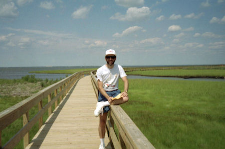
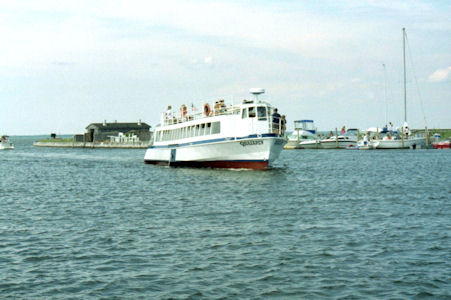
7/11/1992 Ferry to Fire Island National Seashore at Watch Hill. Walked boardwalk.
Me on the boardwalk
|
Our ride
|
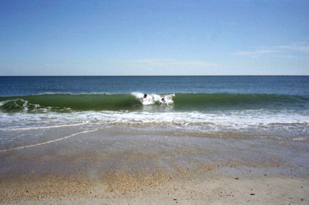
9/24/1993 ... headed over to the ocean side of Fire Island. Sat on the beach and had lunch and
watched the ocean (which was calm enough to ski on – if only we could have gotten the boat there!). When Mom said it was
okay (long enough after lunch like when we were little boys!) Bill donned his wetsuit for a swim in the ocean. Ken
followed sans wetsuit for a brisk but pleasant swim. After a quick shower, dumped the supplies back in the boat and
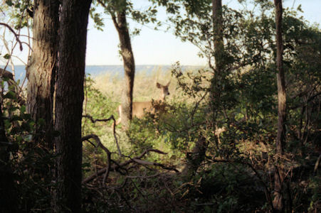
followed the boardwalk trails through and around the Sunken Forest where we spotted a few deer – and feral balloons!
Reluctantly packed up and pushed off at about 1700 for a pleasant trip back to Heckscher, in at 1745.
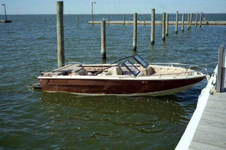
Current Sea
|
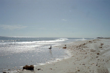
The pretty shoreline
|
Ken and I body surfing
|
One of the locals
|
6/23/1998 Since Bill and Ken were finishing up their traverse of the Island on the Greenbelt trail
in Heckscher, decided to take CurrentSea out and extend the hike on Fire Island! Drove the boat to Heckscher Park and
dropped it off at the boat basin, then took Bill’s car, drove to just north of Sunrise Highway and hiked the Greenbelt back.
Launched the boat at 1230 and although we could barely see the shore through the fog, took the south and west channels to
Sailors Haven on Fire Island. Despite using new charts, there appeared to be little correlation between the buoys we saw and
what was on the map, but with a little help from the GPS we made it safely to shore. On Fire Island, we paid the day fee to
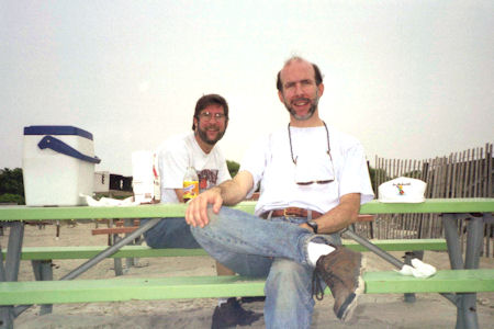
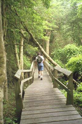
park the boat in a slip and had a delicious picnic lunch ashore. After the meal, hiked the trail through the Sunken Forest
Preserve (as if we hadn’t done enough walking already). Finished up with a delicious ice cream cone, then headed back to the
mainland - this time the GPS was really handy for back-tracking our course.
Picnic lunch on Fire Island
|
More hiking!
|
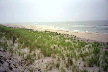
A view of the shore
|
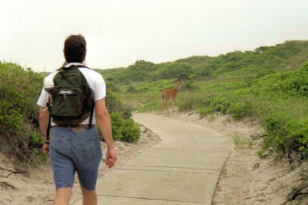
Ken and a deer eyeball each other
|
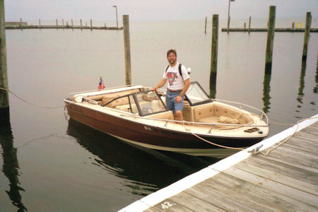
Ken and Current Sea
|
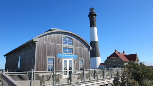
9/12/2014 A quick late summer day excursion. Mom arrive around 9:30, and headed back out to Robert Moses
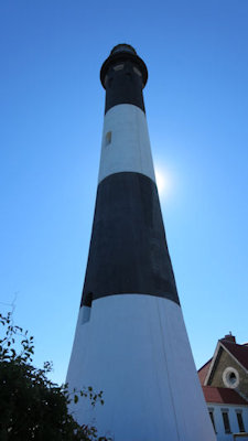
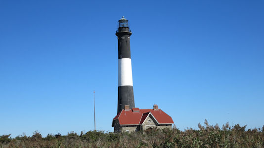
State Park. Parked and took a very enjoyable walk on the boardwalk over to the Fire Island Lighthouse, part of the Fire Island
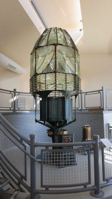
National Seashore. We checked out the Fresnel Lens house, where the very impressive lens mechanism is displayed, then walked
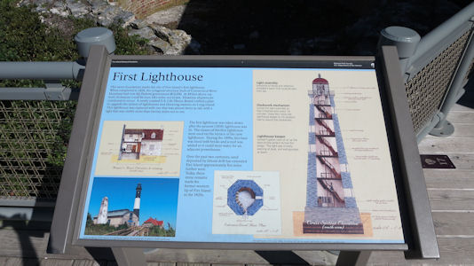
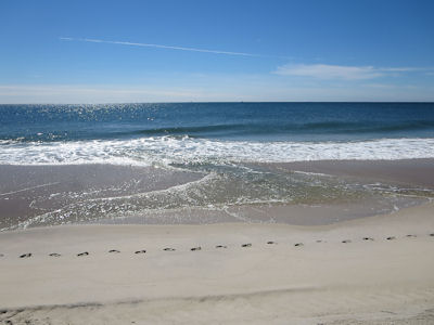
to the lighthouse to check out the informative and historical exhibits. Walked back to the parking area, then down to the beach
on a really gorgeous day. Unfortunately there was a very high and steep sand wall right near the beach, so we couldn’t get safely
right down to the water. Still, we walked down the beach to the concession area and had a good, if expensive, hamburger lunch.
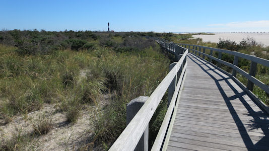
The boardwalk to the lighthouse
|
Cool patterns

|
The lighthouse and lens house
|
Informative signage
|
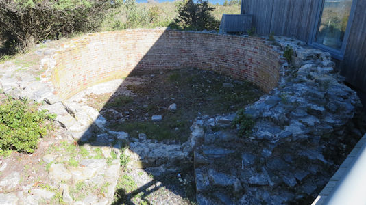
Base of the old lighthouse
|
The Fresnel Lens
|
At the base of the lighthouse ...
|
... and a view from far off
|
The Seashore
|
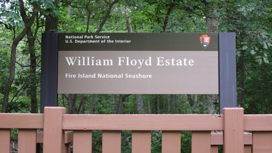
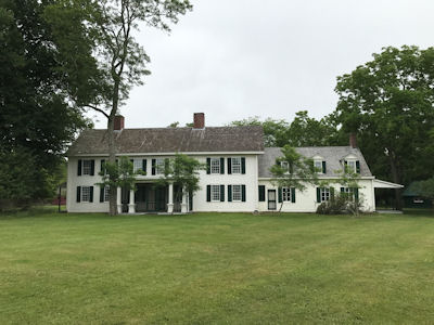
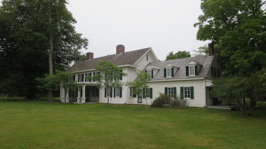
7/1/2017 Mom came over around 9:00 and we drove to the Fire Island National Seashore unit in Mastic Beach
for the William Floyd Estate, the home of the signer of the Declaration of Independence. We walked around the grounds a little,
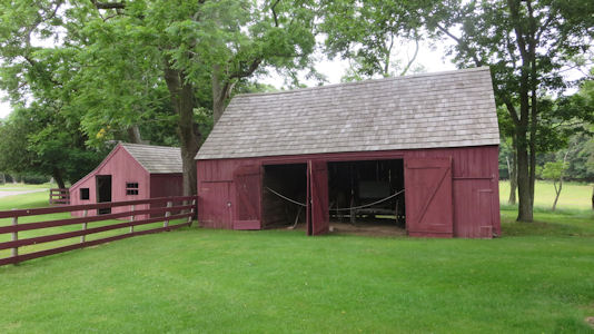
seeing the many outbuildings on the property including the barns and ice cellar. Built by William’s father Nicholl, the house was
expanded over the many decades, and remained in the family until given to the NPS in the 70’s. We took a very good tour of over
an hour, going through the many rooms, left as they were when the NPS took over. Many of the rooms changed purpose over the years,
and we visited bedrooms, parlors, kitchens, etc. After the tour we got some lunch, did some shopping, and headed home.
The park sign
|
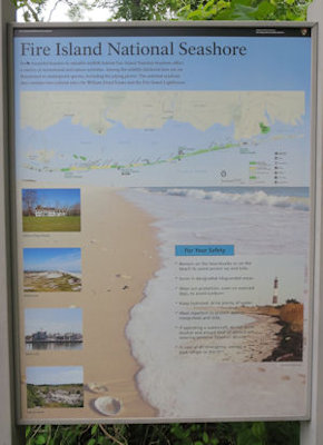
Info about Fire Island
|
The house
|
Another from an angle
|
A barn
|
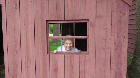
Mom in the woodshed
|
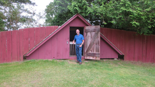
Me by the ice house
|
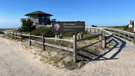
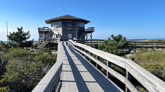
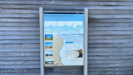
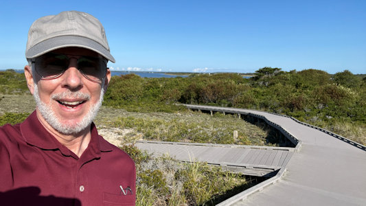
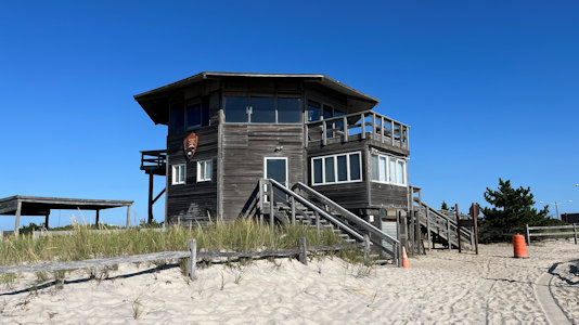
9/5/2024 Walked across the road at the traffic circle to the Fire Island NS location, complete with a watch tower-like building right
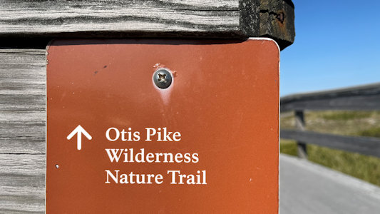
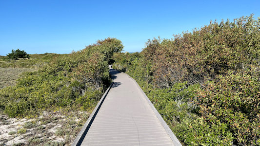
at the top of the dunes. At the base of the tower was my destination – the start of the Otis Pike Wilderness Nature Trail NRT. This is a 1000 foot
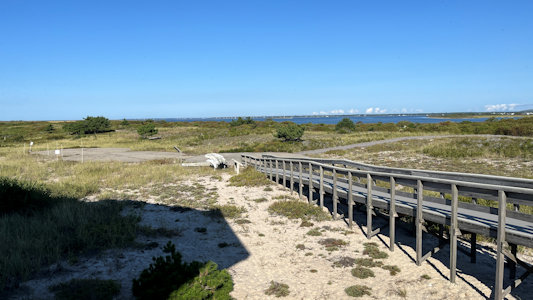
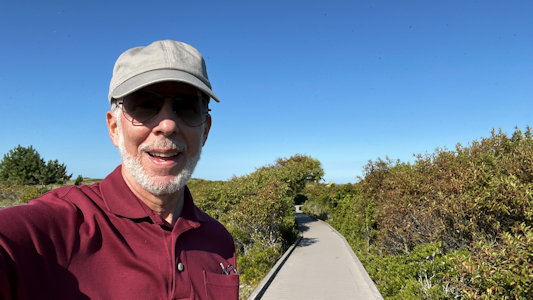
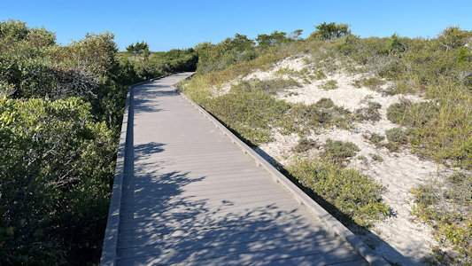
handicap-accessible trail that becomes a sandy wilderness trail as it progresses towards Watch Hill. I picked up the boardwalk and tool that very
pleasant path through the vegetation, checking gout a huge flock of small birds swooping about overhead. The boardwalk terminated abruptly at the
start of the dunes; apparently it used to go further but sections were damaged during Super Storm Sandy. I continued over the dunes to the beach,
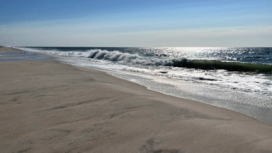
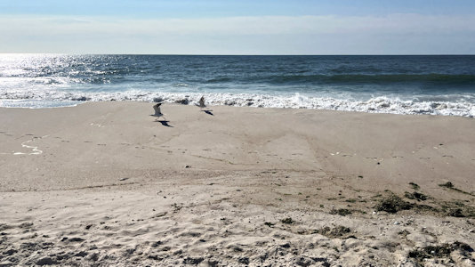
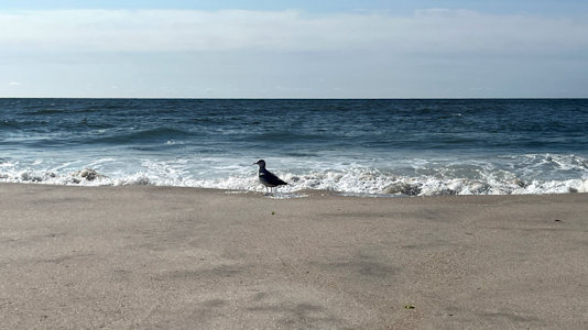
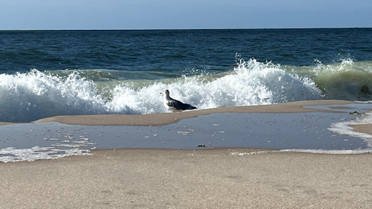
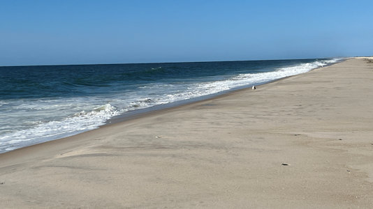
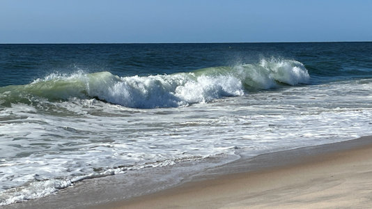
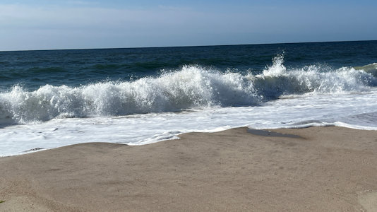
and enjoyed watching and listening to the pretty heavy surf on a spectacular day. Headed east on the wet area along the surf line, dodging some
occasional washed up higher than usual, then back across the dunes to the NPS tower and to the car.
The NPS area ...
|
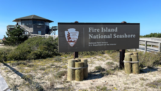
... with National Seashore sign
|
The NPS tower ...
|
... with NS info
|
Boardwalk leading to ...
|
... the NRT
|
Me at the beginning of ...
|
... the National Recreation Trail
|
Me again ...
|
... with more boardwalk on the NRT
|
A panorama at the end of the boardwalk

|
Looking east along the shore
|
Some birds ...
|
... enjoying the shore ...
|
... on a beautiful day
|
Looking west
|
Some good surf ...
|
... on a windy day
|
Returning to the NPS building
|