Home
Travel
NPS States
NPS Types
National Parks - Texas
Big Bend National Park
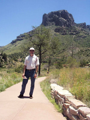
5/19/2004 On the road south in beautiful weather into Big Bend NP. Stopped at Panther Junction then down to Rio Grande Village. Saw the
deep canyon the Rio Grande cut, then over a bit to walk down to the “Rio Grande Wild & Scenic River” and put my hand in. Back up into the big Chisos Mountains
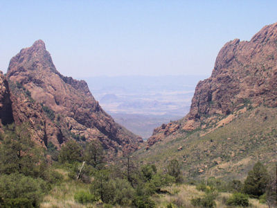
in the center of the park to the Basic, a hole in the middle. Had a nice lunch in the lodge, then took a short hike to the Window view, a ‘V’-shaped cut
looking out towards Terlingua. Cooler here, mid 80’s compared to mid 90’s down lower. Beautiful views! Back to the lodge for dessert, then headed out of the
park in more beautiful scenery including mountains, desert and badlands.
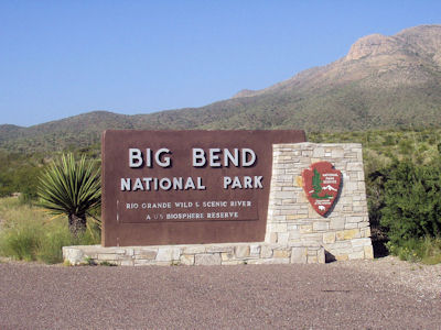
The park sign
|
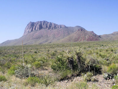
A high mountain peak on a great day
|
The Rio Grande

|
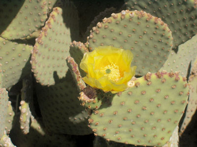
Cactus close-up
|
Panorama of the Chisos Mountains

|
Looking way out towards Terlingua ...
|
... and back at me
|
3/15/2024 From there we hit the long ride south to Big Bend National Park. As we drove the weather cleared to totally sunny skies with
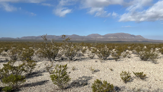
temperatures eventually reaching the warm 70s, hence our short sleeve planning. We enjoyed seeing the changing terrain and different cacti and other flora
showing up. Plenty of prickly pear and yucca, later on some ocotillo. We hit the north entrance station, and were only waiting behind one car, which was
encouraging since we expected crowded conditions (highest visitation is Oct-Apr due to scorching summer heat). We continued many miles more south and hit
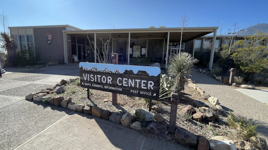
the main intersection with the other park roads, then reached the Panther Junction park headquarters. This was mostly a potty break, but we did ask what
food might be available at different places. Here again we were encouraged by the parking lot being only about half full. We headed west a few miles then
turned south towards the Chisos Basin area, only to come to a full stop behind a line of traffic. It inched forward a few car lengths, but essentially was
stopped. We thought at first there was an accident or struck animal. We did see a few cars coming the other way, and then one or two going our way up the
empty road. Ken finally thought that they were metering cars into the popular area (confirmed with a ranger later on). Given the rate of progress here we
decided, like many others, to bail - not a good start to our park day. We continued west then south onto the Ross Maxwell Scenic Drive which would take us
deep into the park towards the Rio Grande. Along the first section we got nice views, albeit into the sun, of the Chisos Mountains area we had bailed on,
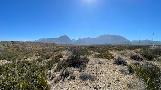
seeing the Window, a cutout allowing a view west. We made a few stops for photos, gingerly working our way through cactus for better shots. About halfway
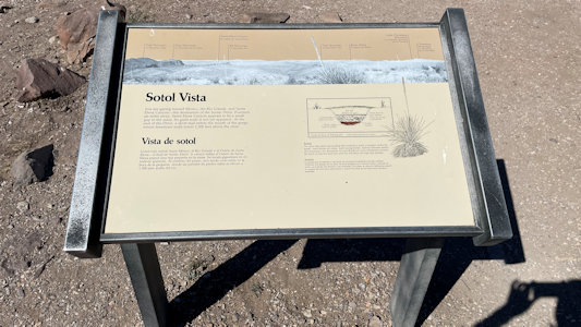
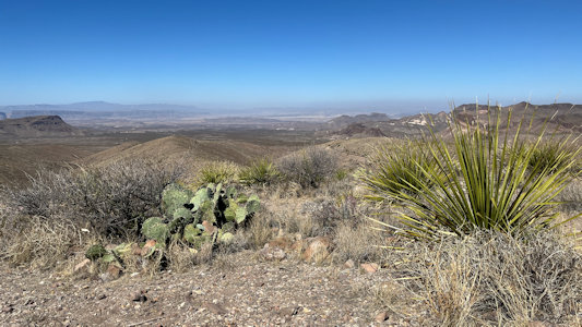
south we hit the Sotol Vista, and our earlier disappointments faded. We were offered fantastic views west, with Terlingua, Santa Elena Canyon, mountains,
valley, etc. in the distance. We hung out here for quite a while, enjoying the vistas and beautiful weather, before continuing southwest. Some more nice
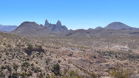
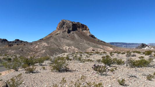
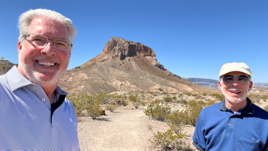
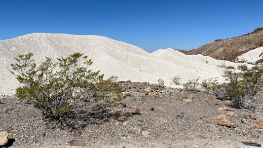
views at the Mule Ears View Point, then down towards Castolon. The terrain seemed to change around every turn, with red colored rocks layered on top of
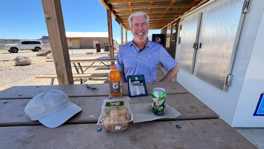
bright gray granular stuff, tall cliff areas, ravines, badlands colored layers, etc. At the rather rustic Castolon VC we picked up some sandwiches in the
camp store and enjoyed our lunch at a picnic table outside under cover in the warm breeze. Continuing west from there we arrived at the end of the park
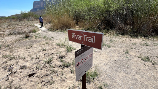
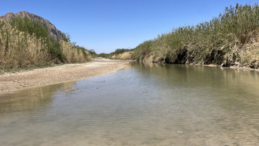
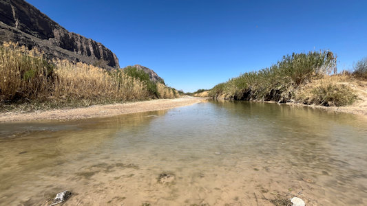
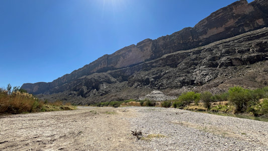
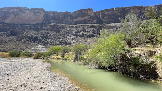
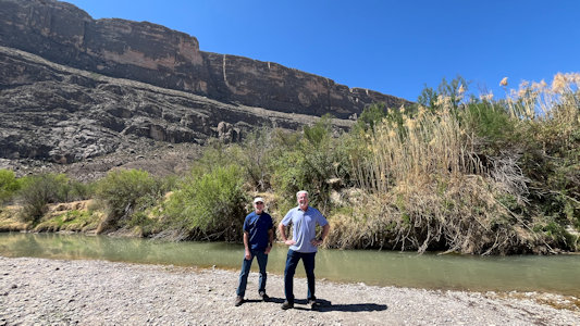
in the Santa Elena Canyon and access to the Rio Grande (Wild and Scenic River). Very surprisingly to us, being spring, the river here was only yards wide
in places, running a silty green-blue, surrounded by dried mud flat areas. We hung out here a little under the huge looming cliffs of the canyon walls in
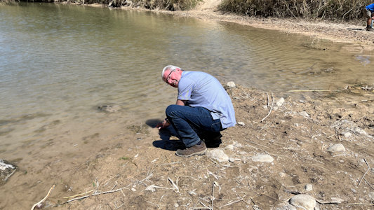
Mexico, and Ken did his put-my-hand-in-the-water ritual. Finally done with our very enjoyable tour of the huge park, we headed back east and north.
Although Ken had been wanting to see a roadrunner, we did see a kangaroo rat, one of the other animals featured in the park brochure, running across the
road. We continued west away from Panther Junction to exit the park to the west.
The park sign
|
Nice views ...
|
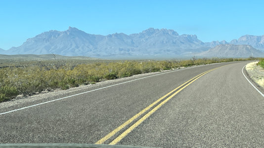
... approaching the central mountains
|
Panther Junction VC
|
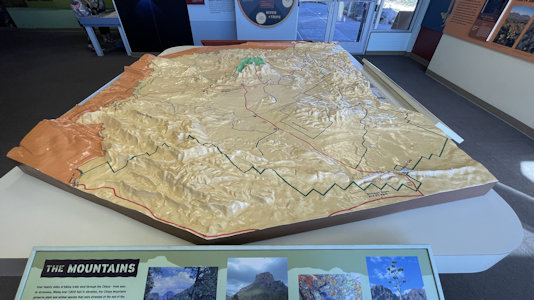
Diorama of the park
|
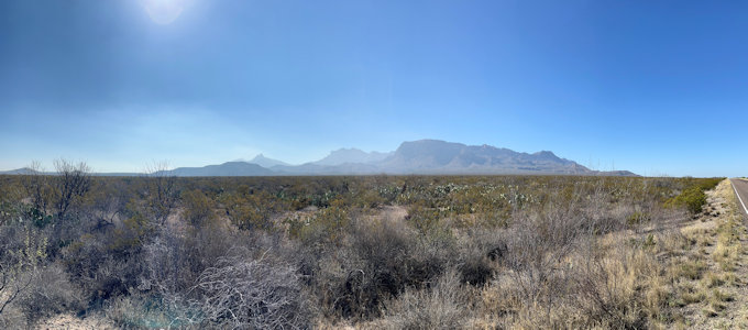
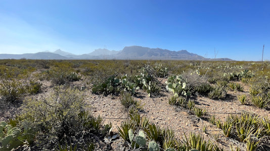
On the Ross Maxwell Scenic Drive ...
|
... with views to ...
|
... the Chisos Mountains
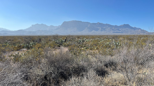
|
A wide shot ...
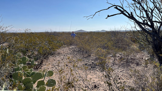
|
... and Prickly Pear close-up
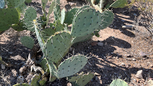
|
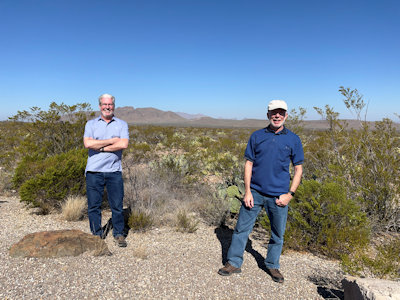
Setting up for ...
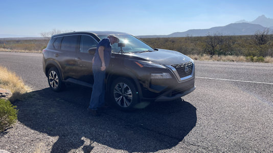
|
... a shot of us
|
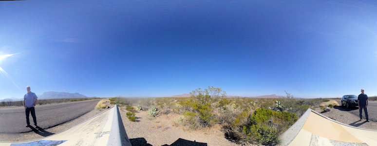
Cool 360 on the scenic drive
|
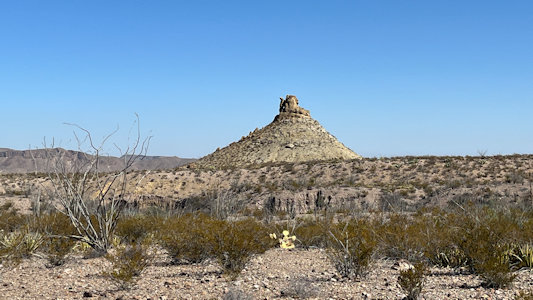
Unique formation
|
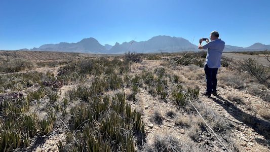
Ken still taking ...
|
... more photos of the great views
|
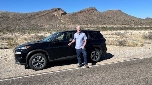
Ken by our ride
|
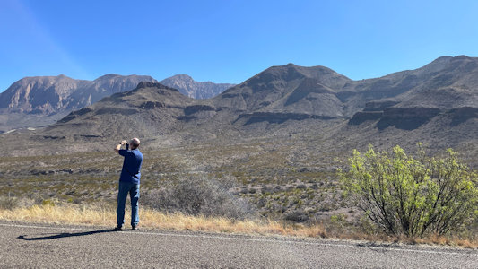
Me taking ...
|
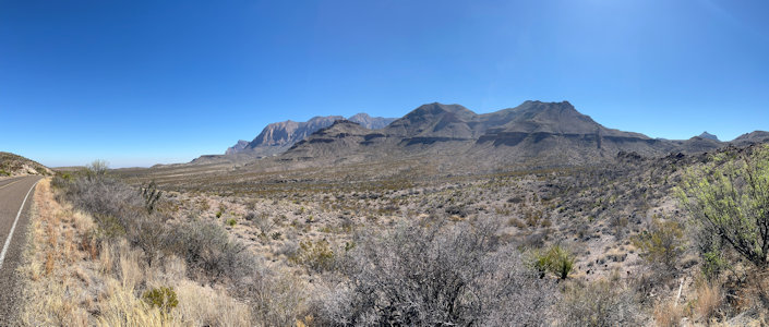
... a nice panorama
|
Signage at Sotol Vista
|
Breathtaking views ...

|
... at Sotol Vista
|
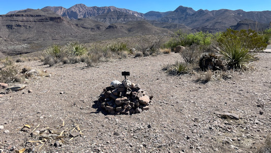
Nice little phone camera support ...
|
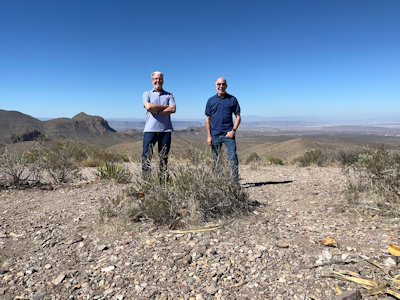
... to take us ...
|
... along with a 360
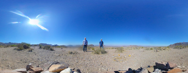
|
Ken surveys the panoramic view ...

|
... with interesting formations
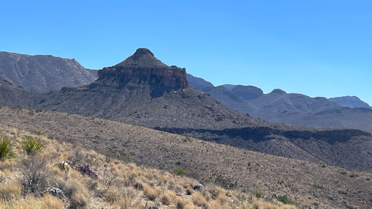
|
Me at the Vista
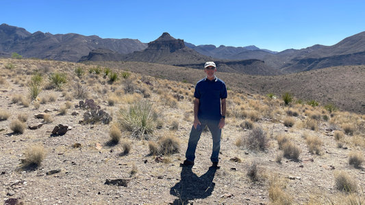
|
The eponymous Sotol cactus
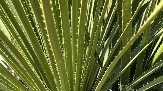
|
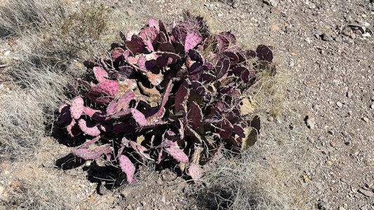
Black-Spined Prickly Pear
|
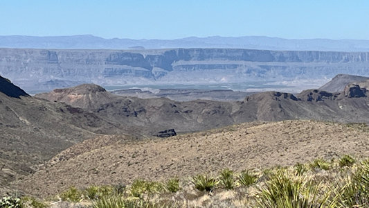
A look to our destination later
|
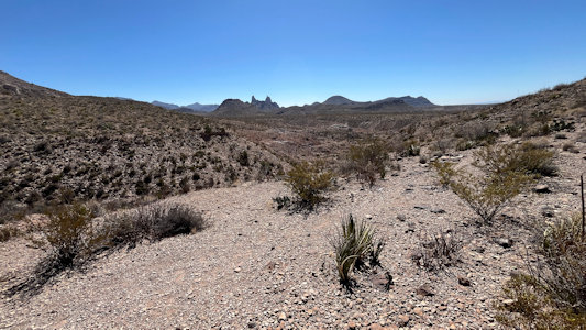
Moving on to ...
|
... the Mule Ears Viewpoint
|
Continuing past other formations ...
|
... (with us) ...
|
.. of many shapes and colors
|
Ken at Castolon VC lunch
|
Ken heads down to the ...
|
... Rio Grande, doing the ...
|
... putting-the-hand-in ceremony
|
Another look upstream
|
High walls of Mexico
|
Meager flow right now
|
Me and Ken by the Rio Grande
|
Guadalupe Mountains National Park
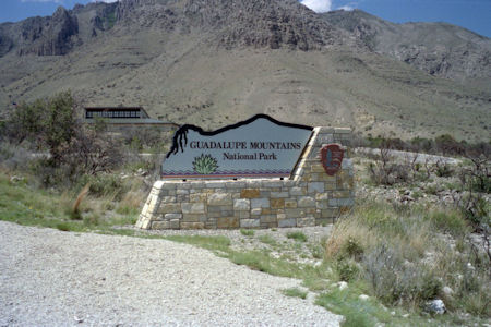
5/27/1994 Drove back to Guadalupe Mountains National
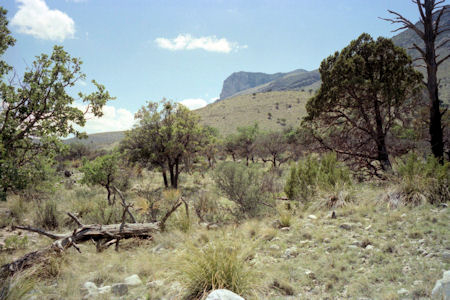
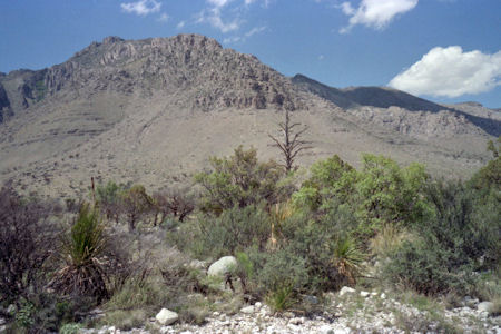
Monument. Mostly just saw great views of mountains (actually top of ancient reef
that includes Carlsbad); slide show at Visitor Center.
Park sign and VC
|
One mountain view ...
|
... and another
|


