Home
Travel
NPS States
NPS Types
National Parks - Utah
Arches National Park
7/30/1994 Drove to Arches National Park and through the
park. More magnificent scenery with many arches (duh!) and other formations, all
in red stone.
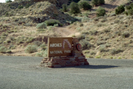
The park sign
|
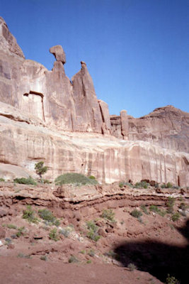
How's that staying up there?
|
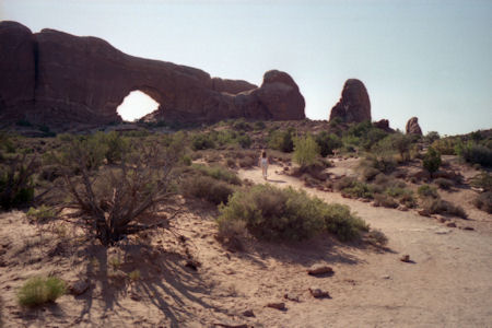
Maureen heading for an arch
|
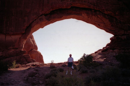
Me in an arch
|
Bryce Canyon National Park
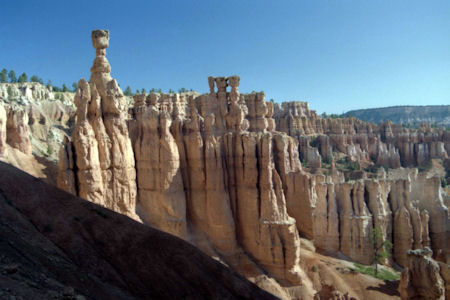
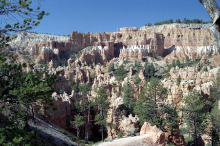
9/15/1988 Did Bryce - fantastic place. Hiked up and down,
puffed, panted, oohed and aahed for about 2 1/2 hours on a 2.2 mile trail. Had
to control our picture taking - everywhere you turned was another beautiful
sight. Worked up a terrific hunger so our last picnic lunch tasted especially
good. Did a little more car sightseeing in the park.
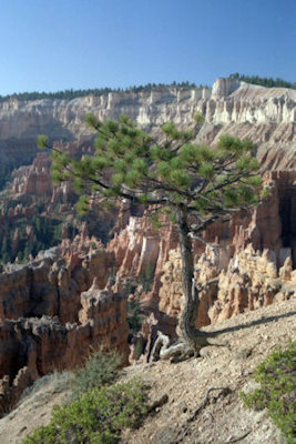
A tree with a firm grip
|
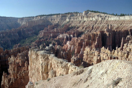
Beautiful colors ...
|
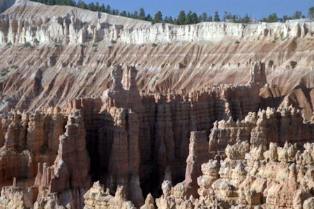
... in many layers
|
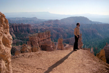
Me enjoying the view
|
Chiseled columns
|
Trees among the formations
|
Canyonlands National Park
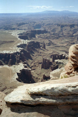
5/28/1997 Up the road to Canyonlands National Park. This superb park (the Island in the Sky part where we are)
is at the confluence of the Green and Colorado rivers that formed magnificent canyons. Drove around and hiked the trails. Best was a 1.5 mile
hike (RT) to the White Rim Overlook, with unbelievable views of the canyons and snow-capped mountains. Once again, warm and sunny and beautiful,
with trail winding through Pine, Juniper, cactus, etc. Also walked to Upheaval Dome overlook (1 mile) and to Mesa Arch (0.5 mile). Picnic lunch
under a Pine tree with great views. From the White Rim and Grand View overlooks on top of the mesa, we could see far down in the distance the
White Rim road, which wound around the top of the river canyon walls. Finally left the park ...
.
The park sign
|
A deep canyon
|
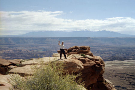
Me on a ledge
|
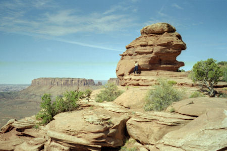
Maureen by an interesting mound
|
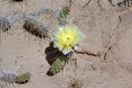
Pretty cactus flower
|
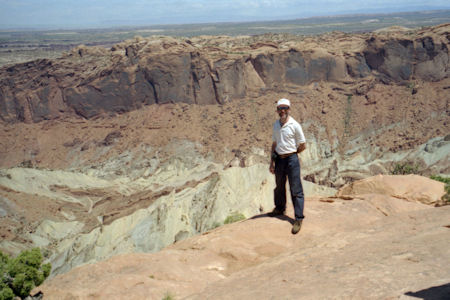
Me and a great view
|
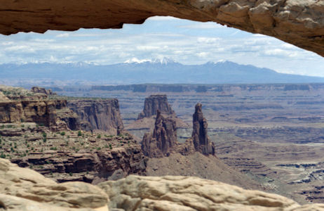
The mountains through an arch
|
Capitol Reef National Park
7/29/1994 Continued on (through a few thunder showers) to
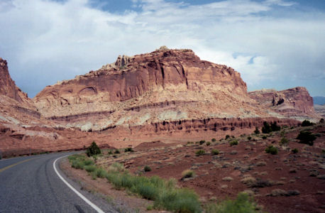
Capitol Reef National Park. Magnificent structures - spires, mounds, cliffs,
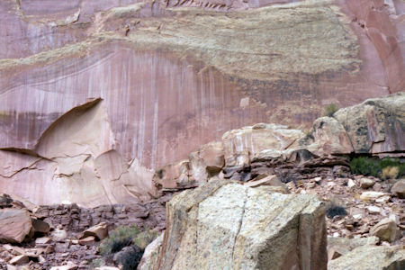
etc. in all colors of the rainbow. Also saw nice petroglyphs.
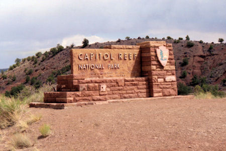
The park sign
|
It's hard to concentrate on driving!
|
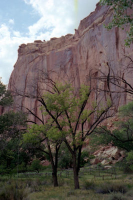
Pretty cliffs and valley
|
Petroglyphs
|
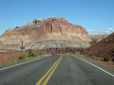
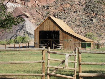
9/17/2009 On into Capitol Reef NP. Noted that SR24 was called a (UT) Scenic Byway. The views along the route
were breathtaking, with the low sun against the rocks and blue sky with white clouds. Headed pretty far in, to the Gifford Farm in the Fruita
Historic District (also in the MP NHA). Walked across the Fremont River to the house (now museum and store), barn and farm area of an early Mormon
settler. Beautiful location, with pretty groves of fruit trees right at the base of the cliffs. Headed back out of the park, and stopped for
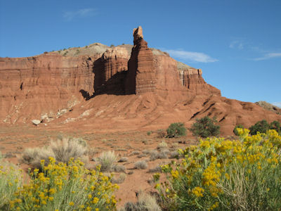
the views that I had passed. Spent some time at Chimney Rock, where the views couldn’t be beat. Time to call it quits ...
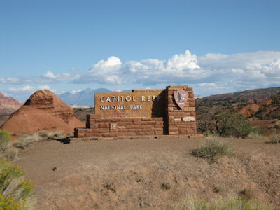
The park sign
|
Almost the same view as last time
|
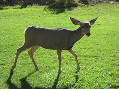
I bet he heard me coming ...
|
On the Gifford Farm
|
Chimney Rock
|
A panorama with Chimney Rock

|
Zion National Park
9/14/1988 Left Vegas and rove north to Zion National Park
(drove in Nevada, Arizona for about 45 minutes and then into Utah). Toured Zion
for a few hours in the car and on foot - another day of beautiful sights.
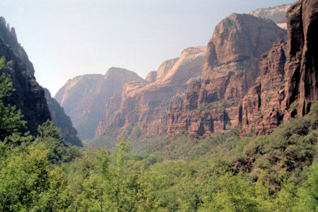
The cliffs from the valley
|
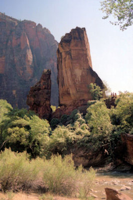
Interesting formation
|
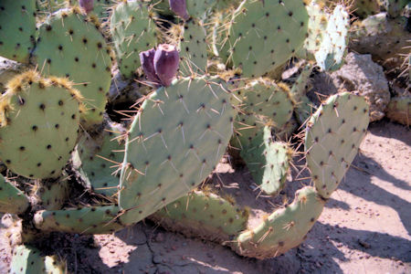
Prickly Pear
|
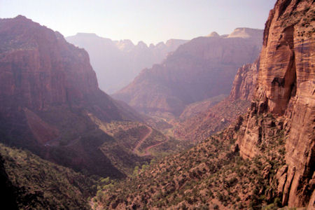
Beautiful valley view
|
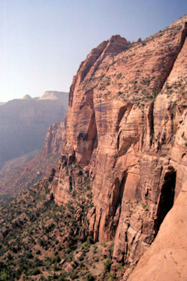
Steep cliffs
|
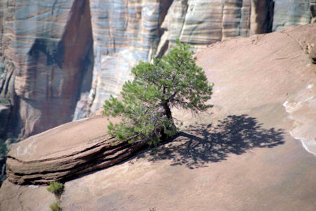
A tenacious little tree
|


