![]()
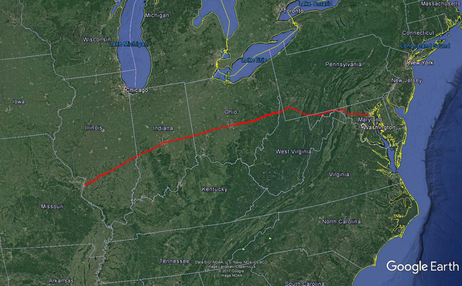
The National Road (also known as the Cumberland Road), was the first major improved highway in the United States built by the federal government. The 620 mile road was built between 1811 and 1837. Connecting the Potomac and Ohio Rivers, it was a main transport path to the West for thousands of settlers. Originally running from Cumberland, MD to Vandalia, IL, it was eventually extended east to Baltimore and west to East St. Louis.
Ken and I completed the drive of the National Road from Baltimore to East St. Louis, and as with the Lincoln Highway, we did our best to travel the original historic alignments.
Below is a map of the route we followed, captured by our GPS.
Here are photos of some of the NR-oriented sites we found along the way:
Our traveled route on Google Earth: