Home
Travel
State Parks
Texas State Parks
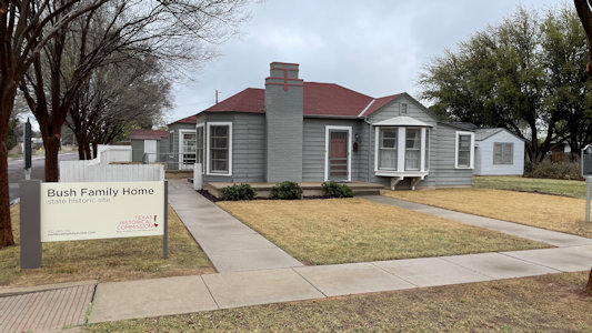
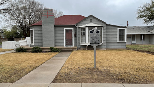
Bush Family Home State Historic Site
3/16/2024 This nice little Odessa home had been moved here to the University of Texas of the Permian Basin in anticipation of HW’s
library being established here, but that got relocated to College Station so now the home is all alone. Still, some good signs and some statue kids playing in the yard.
The full site ...
|
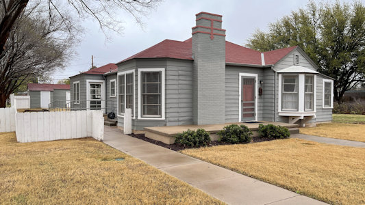
... and closer to the Bush home
|
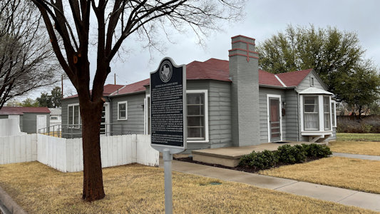
One angle ...
|
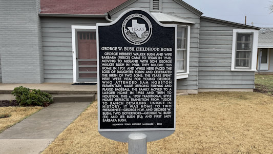
with George Bush details
|
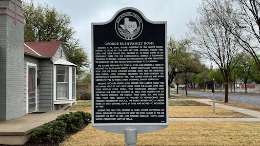
Another angle ...
|
with George W. Bush details
|
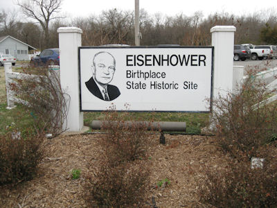
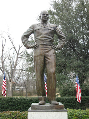
Eisenhower Birthplace State Historic Site
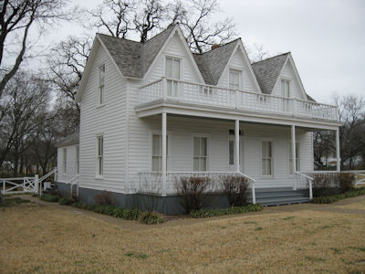
2/23/2011 ... then continued to the Eisenhower Birthplace State Historic Site. We checked out the small museum,
then walked over to the neat white house where Ike was born in 1890. Outside the house is a larger-than-life bronze statue of Eisenhower as General.
The park sign
|
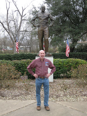
Ike statue
|
I'm like Ike
|
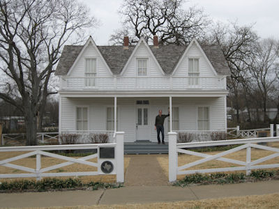
Ike's home ...
|
... with me out front
|
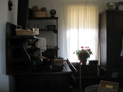
Inside the home
|
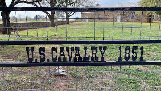
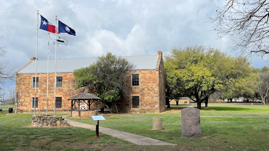
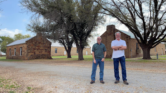
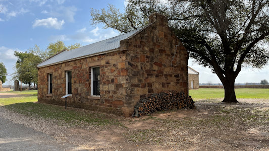
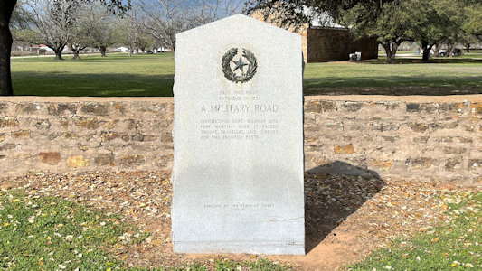
Fort Belknap State Park and Historic Site
3/14/2024 Fort Belknap NHL and SP&HS. The fort was
established in 1851 by Brigadier General William G. Belknap to protect the Texas
frontier against raids by the Kiowa and Comanche; on the Butterfield Overland Trail, it was the northernmost fort
in a line from the Rio Grande to the Red River. This fort is more compact than
Richardson, and we checked out some of the typical buildings.
The park entrance ...
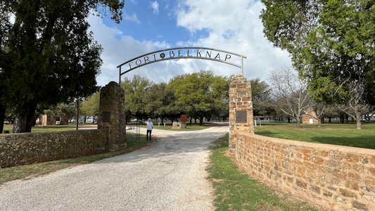
|
... and fence detail
|
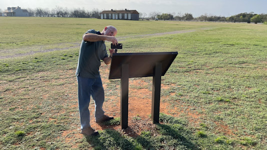
interpretive signage ...
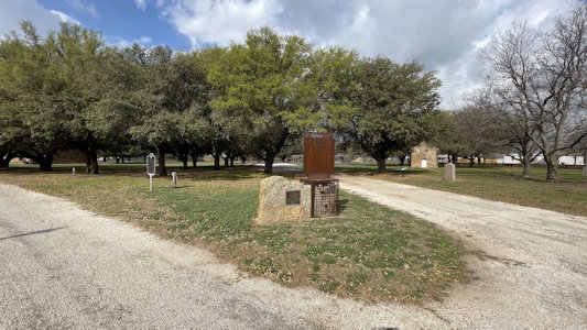
|
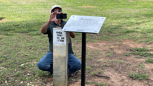
... where Ken photos ...
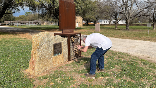
|
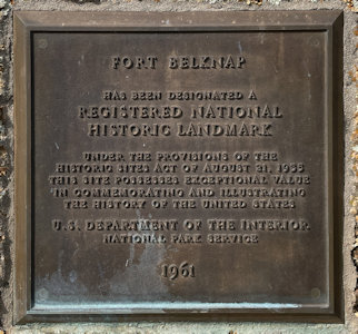
... the NHL plaque
|
Replica of 1852 Commissary
|
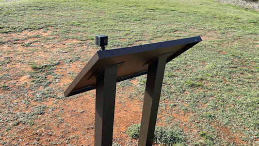
A 360 photo ...
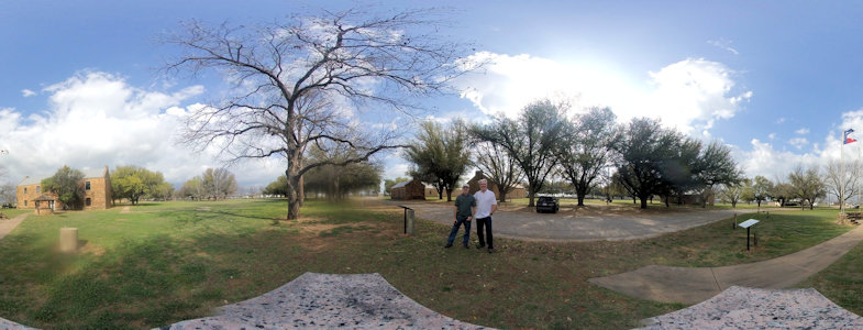
|
... then I set up for ...
|
... a regular shot ...
|
... near other fort buildings
|
Ken near ...
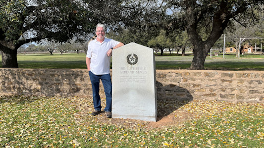
|
... a Butterfield Overland Trail marker
|
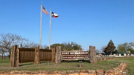
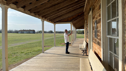
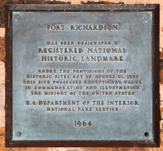
Fort Richardson State Park and Historic Site
3/14/2024 Fort Richardson NHL and SP&HS. Named for Union General Israel B. Richardson, who died in the Battle of Antietam, the fort was established in 1868 as
the northernmost army outpost in Texas, anchoring the defensive line of fortifications built across the Texas frontier. It was also a mail station on the Butterfield Overland Stage
Line 1858-1861. This is a quite large fort area, with many of the surviving buildings spread out, so we concentrated our visit at the largest, the hospital.
The park sign
|
Signs at ...
|
... the interpretive center
|
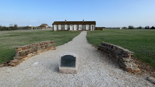
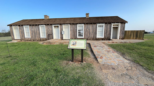
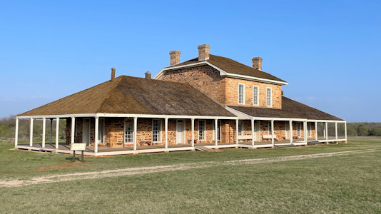
The large parade ground ...

|
... with the hospital
|
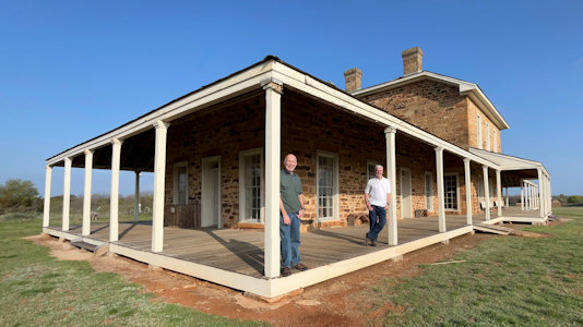
I set up for ...
|
A photo of us
|
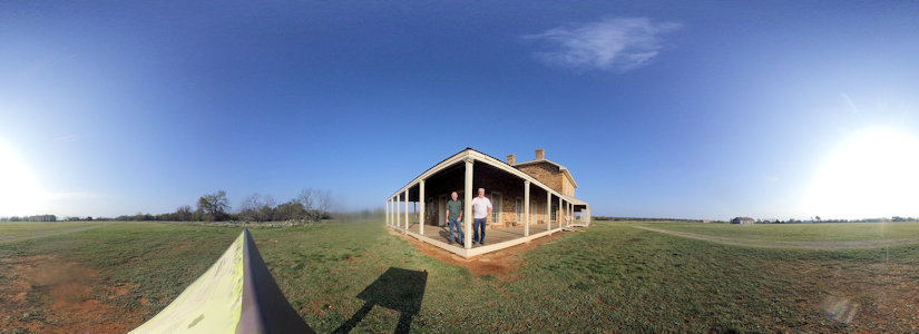
Same spot for ...
|
... a 360 photo
|
Ken photos ...
|
... the NHL plaque
|
Franklin Mountains State Park
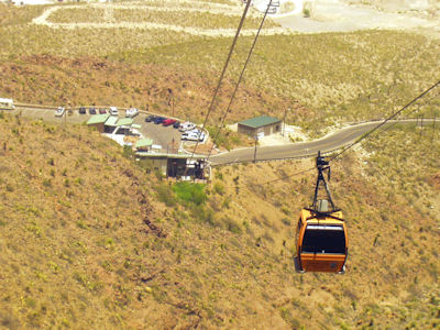
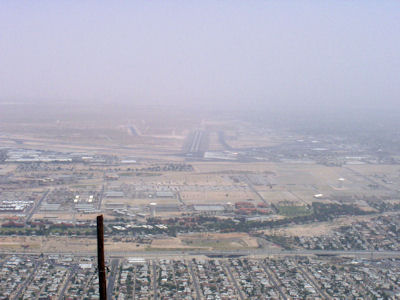
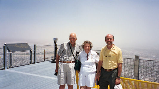
5/22/2004 ... then up into the Franklin Mountains State Park on the Wyler Tramway. Beautiful weather, but winds kicking up dust made for hazy views.
The park sign
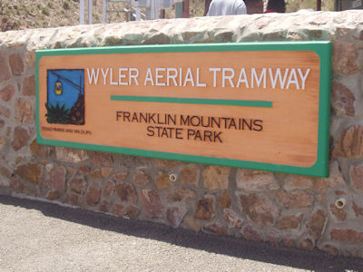
|
A tram ...
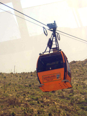
|
... and its origin
|
A hazy view
|
Dad, Mom and me
|
Hueco Tanks State Historic Park
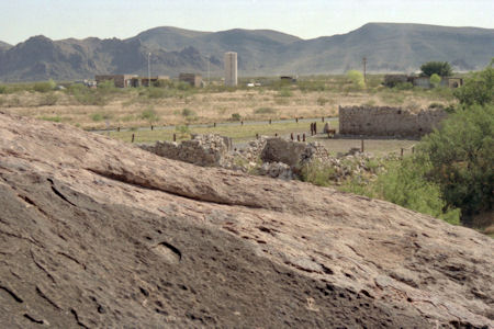
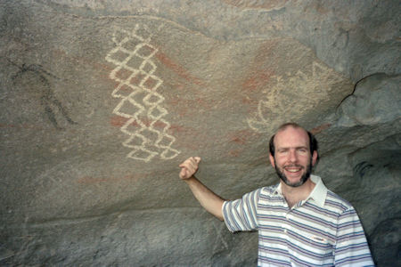
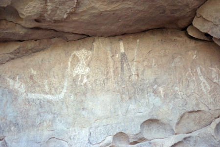
5/29/1994 Drove to Hueco Tanks State Park. Huge rock formations that hold water, also contain Indian pictographs about 6000 years old.
Walked/climbed around, saw water and pictographs.
A view of the area
|
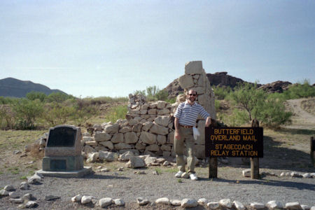
Me at the overland mail station
|
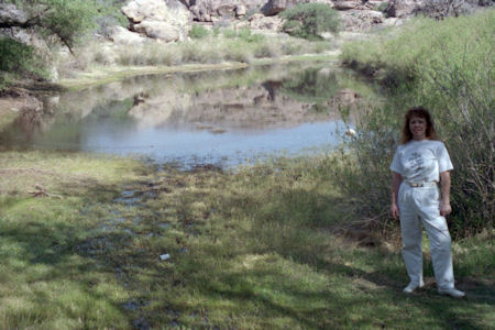
Maureen by a "tank"
|
Me by some ...
|
... pictographs
|
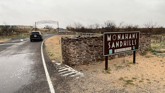
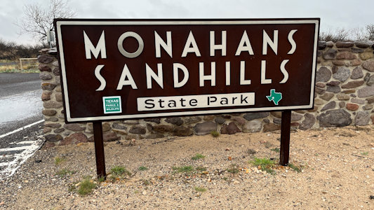
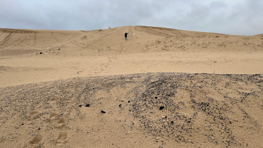
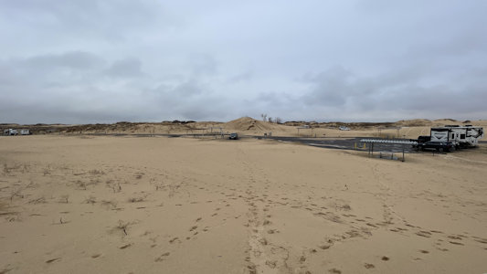
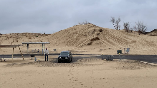
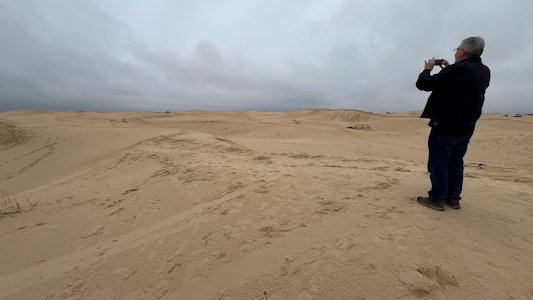
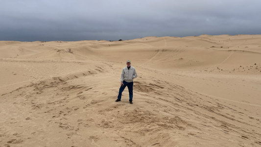
Monahans Sandhills State Park
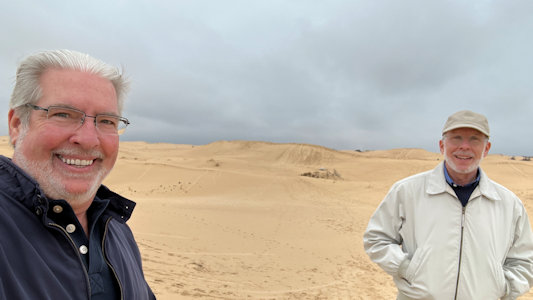
3/16/2024 The park stretches across almost 4,000 acres of powdery (well, not on our rainy day) sand dunes, some up to 70 feet high.
Visitors can rent toboggans and disks at the park to surf down the dunes. Here we drove through the park area, with lots of recreation and camping spots,
all covered with the dunes of clear tan sand. It was very cool, and we enjoyed climbing up on the dunes and looking for other people sliding down on flyer
saucer sleds, albeit with less success on the damp sand then we expect dry days provide.
The park entrance ...
|
... and sign
|
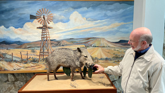
Trouble with a Javelina
|
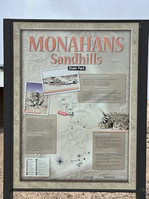
Park map
|
Ken heading out on the dunes ...
|
... with a look back to the car ...
|
... and me
|
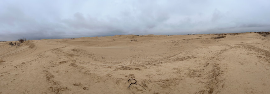
Ken takes ...
|
... a panorama of the dunes
|
How did he do that?
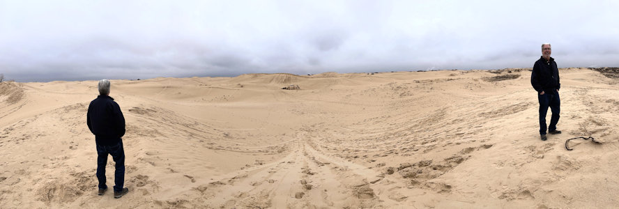
|
Ken and me
|
See the sled tracks?
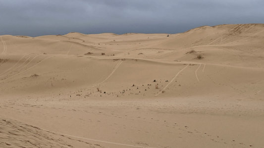
|
Me on top
|
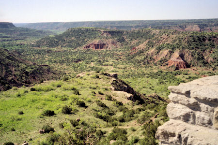
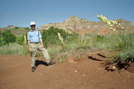
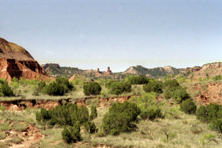
Palo Duro Canyon State Park
5/25/1997 Drove north to near Canyon to Palo Duro State Park. After the dead flat of this part of Texas, all of a sudden a deep
canyon with multi-colored layers of rock appeared. Drove to the bottom of the canyon and walked about 1.5-2 miles in to see the Lighthouse formation.
Nice trail over very red soil, with cactus and flowers.
A long view of the canyon
|
Me and big plants
|
More scenery
|
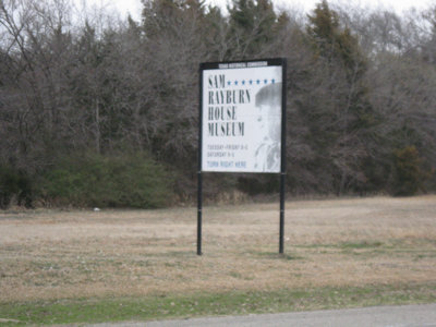
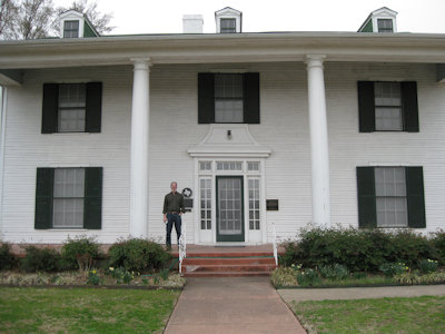
Sam Rayburn House State Historic Site
2/23/2011 Back on the road east to Bonham and the Samuel T. Rayburn House NHL [and SHS]. This was the home of the famous 20th
century statesman and politician, looking somewhat Greek Revival but suspected of being a Sears house. As we really didn’t know much about then guy
we elected to not take the tour but rather just checked out the house and grounds.
The park sign
|
A view from the front ...
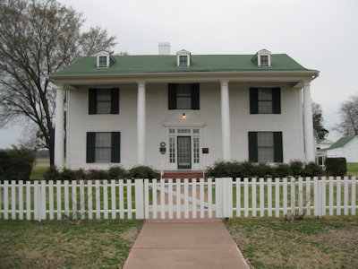
|
... and three quarters
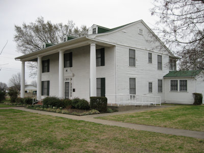
|
Ken out front
|
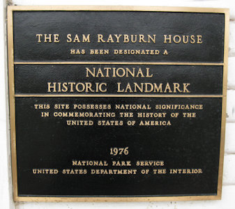
The NHL sign
|
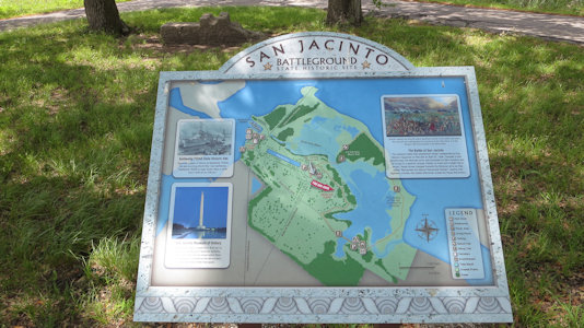
San Jacinto Battleground State Historic Site
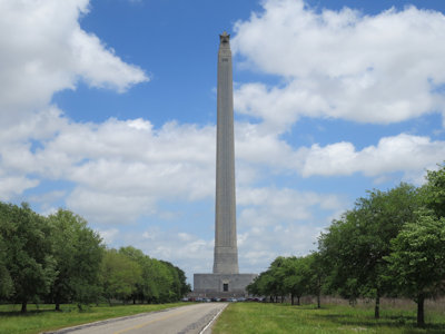
4/12/2018 First stop, San Jacinto Battlefield NHL (and San Jacinto Battleground State Historic Site). The April 21, 1836 Battle of
San Jacinto was the decisive battle of the Texas Revolution, where General Sam Houston’s Texian Army defeated General Santa Anna's Mexican army in an 18 minute
fight. The main feature here is a huge tower monument where we took an elevator to the top for views over the bay, bayou and battlefield area. Back down on
the ground we drove around the park road checking out interpretive signage but really looking for the NHL plaque.
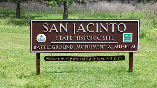
The park sign
|
The monument from afar ...
|
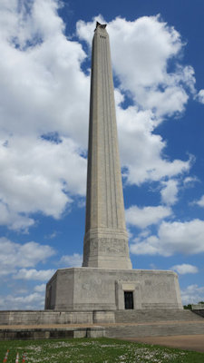
... and up close
|
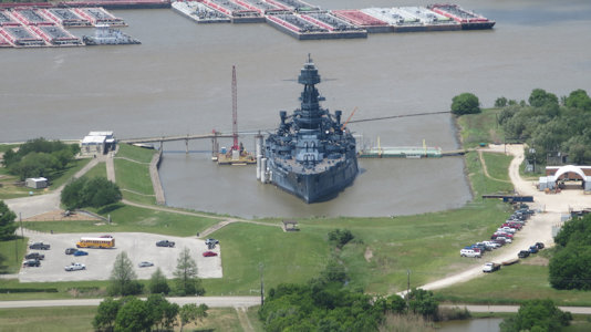
Battleship Texas from the tower
|
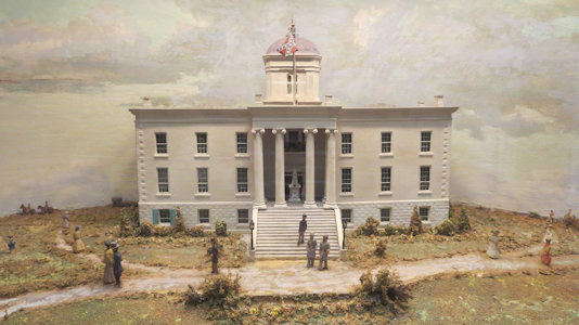
Capitil model in the museum
|
Battlefiield signage
|
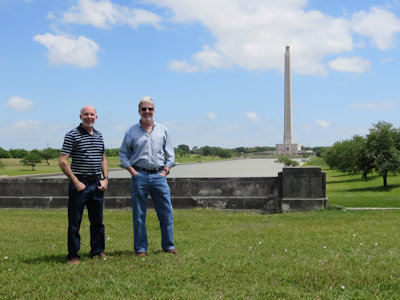
Ken and me
|
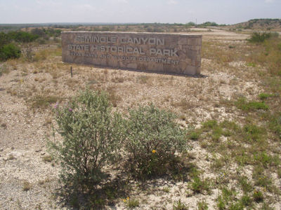
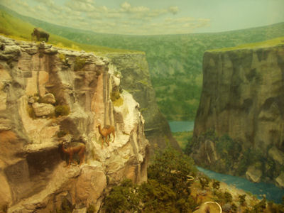
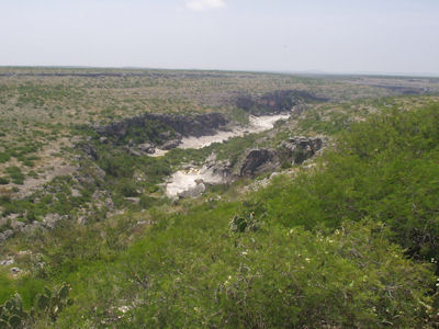
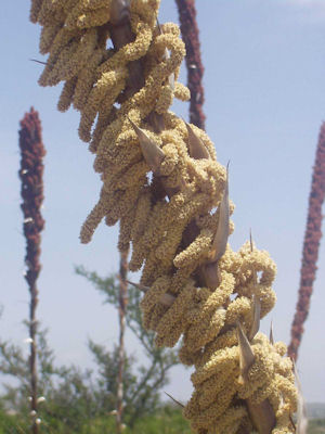
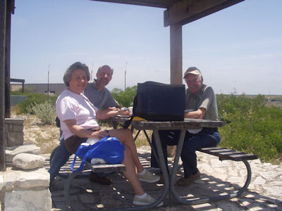
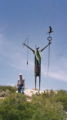
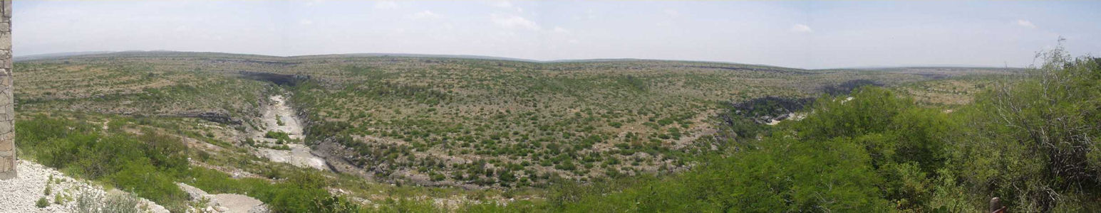
Seminole Canyon State Park
5/18/2004 Continued to Seminole Canyon State Park. Saw good educational exhibits, then enjoyed a nice picnic under a ramada
looking at the canyon. Weather had started overcast, but cleared fast and by midday was hot and very breezy. Took a short nature trail, then on the road ...
The park sign
|
Nice diorama
|
A view of the canyon
|
Cool plant
|
Mom, Dad and me picnicing
|
Is there someone behind me?
|
A nice panorama
|