Home
Travel
State Parks
Washington State Parks
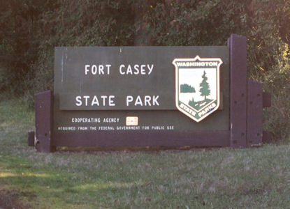
Fort Casey State Park
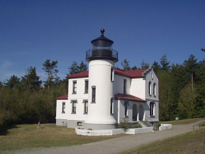
8/30/2004 ... then continued to Fort Casey State Park. Saw the little lighthouse there (went up) and the remains of the old fort.
The park sign
|
The lighthouse
|
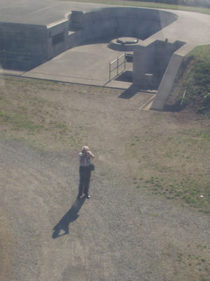
Looking down at Dad
|
Fort Simcoe State Park
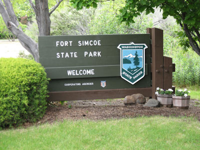
5/27/2010 Near Toppenish went west to Fort Simcoe SP, on the way passing field after field of what looked like hops. Fort Simcoe
was built in 1856 for support in managing the Indians. Walked around and checked out the original and reconstructed buildings.
The park sign
|
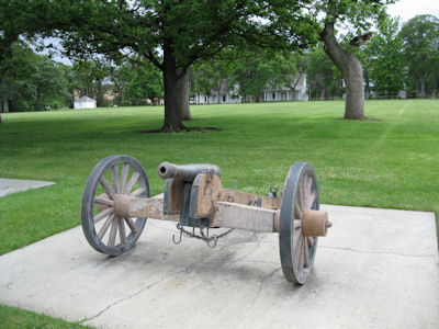
The requisite cannon
|
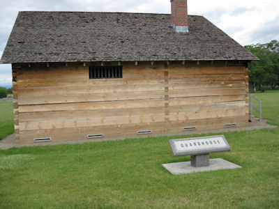
Guardhouse
|
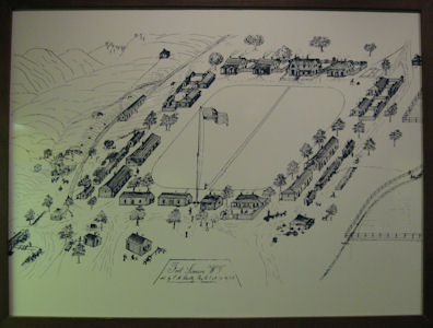
An old map
|
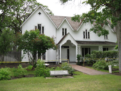
Officer's quarters
|
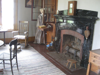
A look inside
|
Horsethief Lake/Columbia Hills State Park
5/27/2010 Continued west, across the river into WA, and west a bit more to Horsethief Lake SP, now known as Columbia Hills SP
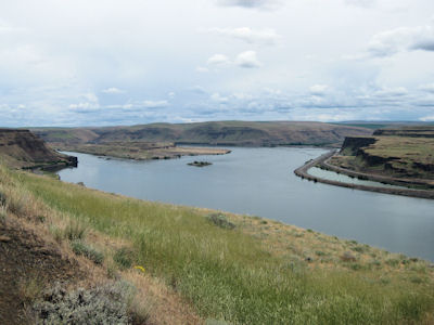
[on the Ice Age Floods NGT]. L&C passed through here [NHT in WA], although where they were is now under water due to the Dalles Dam. Checked out the
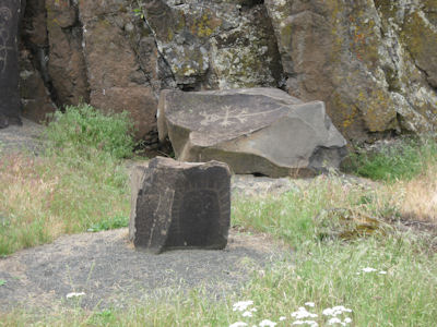
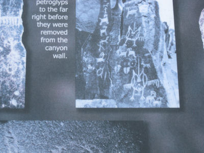
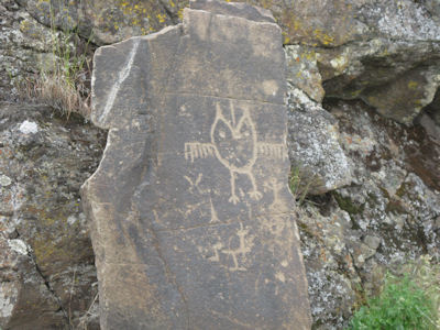
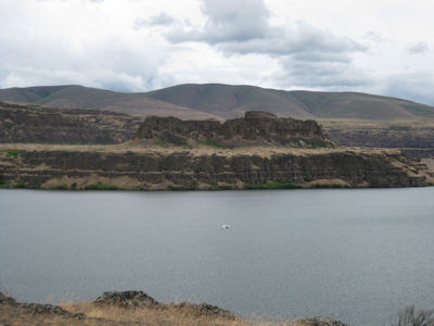
exhibits of petroglyphs on rocks which were moved by the Corps of Engineers before the area flooded. Also saw Horsethief Butte [in the USFS Columbia
River Gorge National Scenic Area].
The park sign
|
The petroglyph area
|
The original location ...
|
... and the current
|
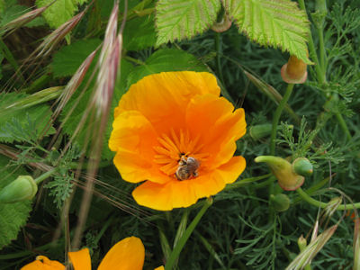
Flora and fauna
|
Looking at the Columbia
|
Horsethief Butte
|
Sun Lakes - Dry Falls State Park
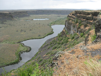
5/28/2010 Crossed over the dam and a short way to Sun Lakes Dry Falls SP [also on the Ice Age Floods NGT], where there was viewing of the huge
cliffs that used to run as a monster waterfall during the flood – 3 1/2 miles wide and 350 feet high!
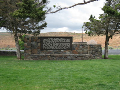
The park sign
|
A great panorama

|
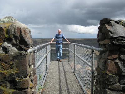
Me at the edge
|
Looking into the canyon
|