Home
Travel
NPS States
NPS Types
National Historic Trails (Non-Units) - Butterfield Overland
Butterfield Overland National Historic Trail (Arizona, Arkansas, California, Missouri, New Mexico, Oklahoma, Texas)
4/7/2019 Sonoran Desert National Monument ...
Yuma Crossing National Heritage Area
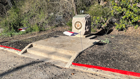
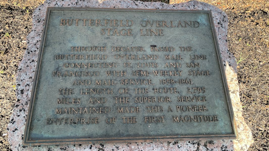
3/13/2024 From there we headed up to Decatur for a couple more stops, first, a Butterfield Overland Trail (NHT) marker. This is an historic plaque on
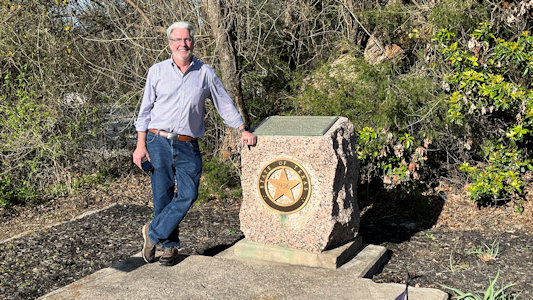
a little pillar, and with some little Texas flags - more than just a classic sign. In 1857 John Butterfield established an overland mail and passenger stagecoach route between
the eastern U.S. and growing settler populations in the Far West. What became known as the Butterfield Overland Trail began from two eastern termini on the Mississippi River
at St. Louis and Memphis and ended at its western terminus in San Francisco.
Nice little marker area
|
Ken by ...
|
... the interpretive plaque
|
3/14/2024 Today’s travel is a long drive with about 25 stops. Many of them are brief stops for signs and markers along the BOT, which we will follow down to Fort Stockton. Signs are the basic state
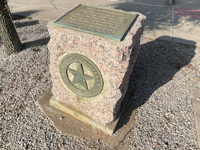
information signs, all of which have some reference to the BOT. The markers are squat little pillars with the Texas star on front and a plaque on top, like we saw last
night. We also hit a number of forts, positioned along a line to defend and support the region against threats including Native American. Not surprisingly, the BOT made
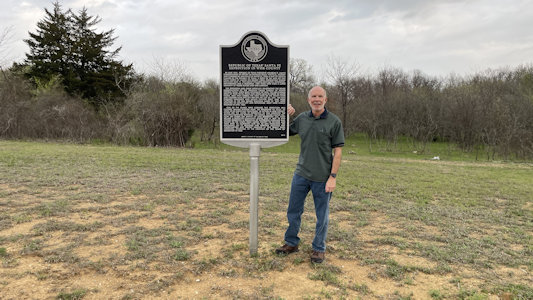
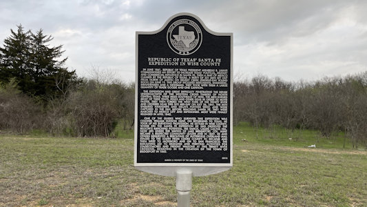
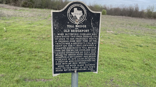
use of the forts as rest and replenishment stops. ... [Bridgeport] BOT Sign “Republic of Texas’ Santa Fe Expedition in Wise County” ... BOT Sign “Toll Bridge and Old Bridgeport” ...
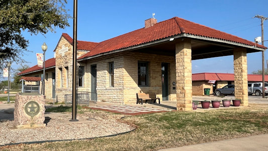
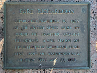
Fort Richardson ... BOT Marker “Fort Richardson” at a former “Gulf, Texas & Western Railroad
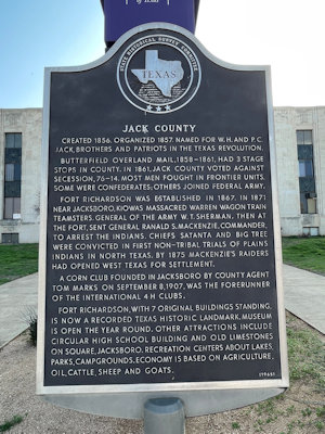
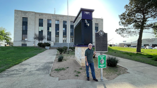
Depot” ... BOT Sign “Jack County” at Jack County Courthouse. ... Fort Belknap ... [Between Towns]
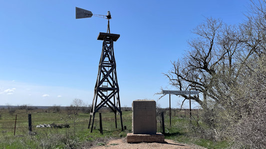
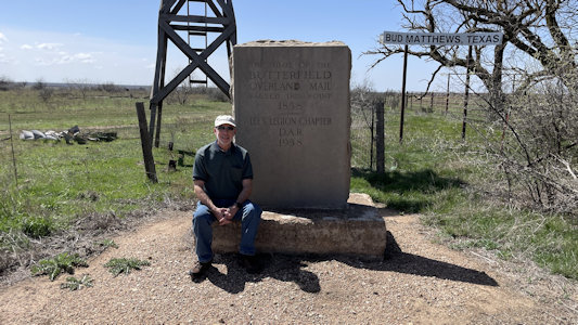
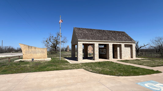
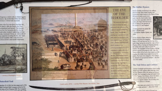
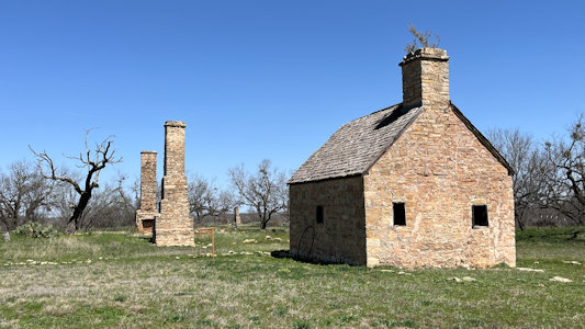
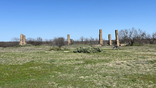
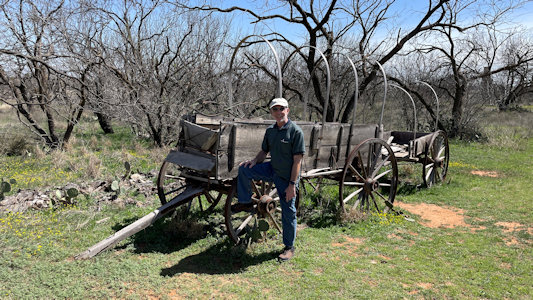
BOT DAR Monument. “The Trail of the Butterfield Overland Mail” BOT Fort Phantom Hill. The fort was
established in 1851 as part of the line of forts in Texas to protect migrants passing through the state on their way to California. This is a sprawling area with
ruins of the fort buildings (mostly just the chimneys) but there was an interpretive kiosk and we enjoyed walking the trails among the prickly pears in beautiful
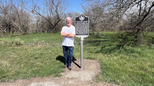
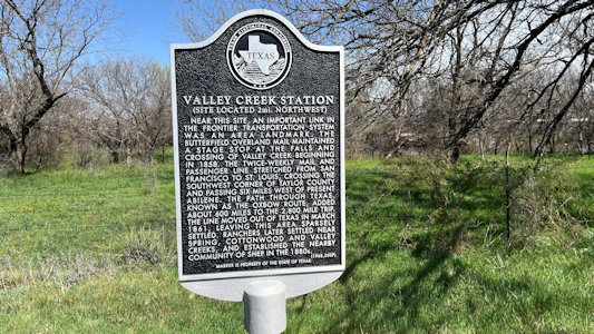
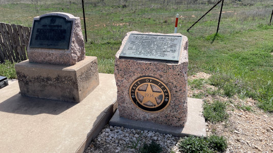
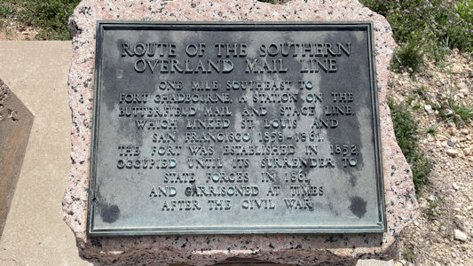
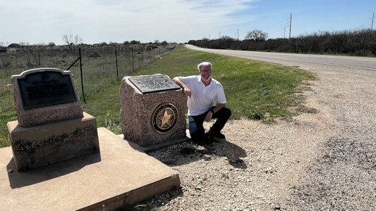
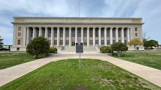
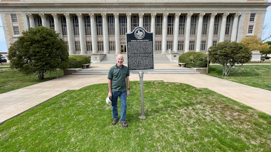
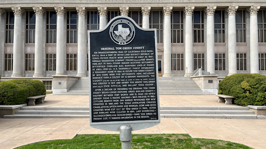
weather. ... BOT Sign “Valley Creek Station” BOT Marker “Route of the Southern Overland Mail Line” ... [San Angelo] BOT Sign “Original Tom Green County”
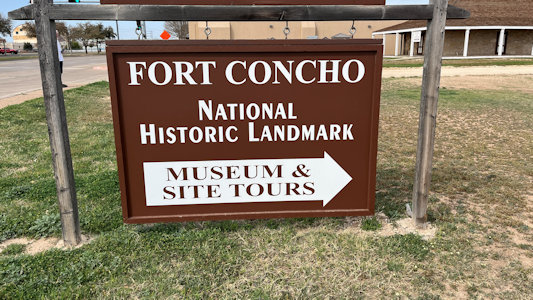
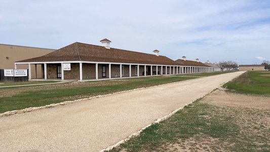
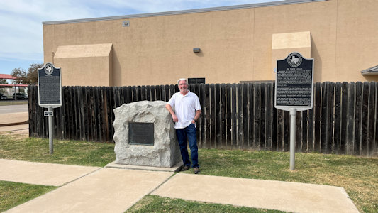
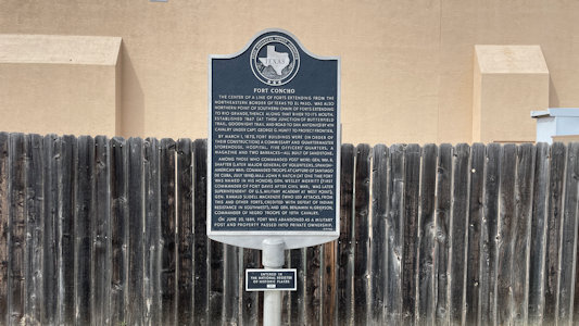
at Tome Green County Courthouse Fort Concho NHL. A U.S. Army installation established in 1867 at the confluence of the North and South Concho Rivers, on the routes of the Butterfield Overland Mail
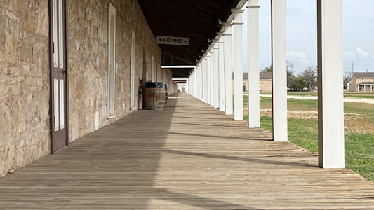
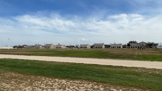
Route and Goodnight–Loving Trail, and an active military base for the next 22 years. We were near closing time here, but still could walk around the large rectangular
fort area, with a long stretch of enlisted men’s barracks along one side of the parade ground and nicer home-like officers' quarters along the other. ... [McCamey] After
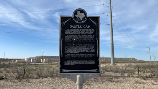
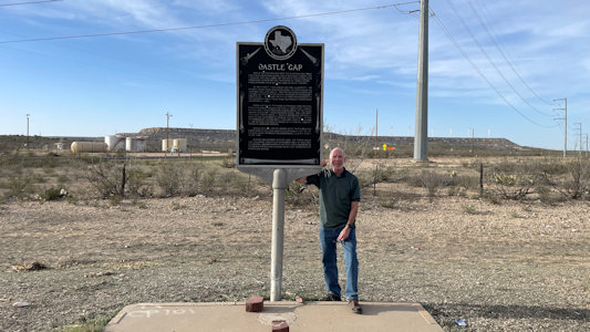
one more BOT Sign “Castle Gap” before town, we reached McCamey ...
Me by the ...
|
... "Republic of Texas ..." sign
|
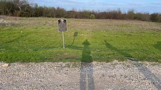
Our shadows check out the sign ...
|
... "Toll Bridge and Old Bridgeport" ...
|
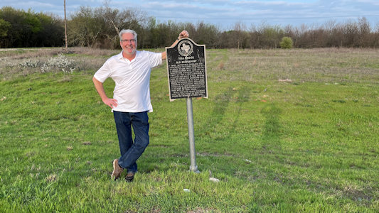
... and Ken poses by it
|
Former railroad depot ...
|
... with marker ...
|
... and Fort Richardson info
|
Sign "Jack County" ...
|
... with me at Jack County Courthouse
|
BOT DAR monument ...
|
... Trail of the Butterfield Overland Mail
|
Fort Phantom Hill pavilion ...
|
... with interpretive info
|
Remains of old buildings ...
|
... but mostly chimneys
|
Me by an old wagon
|
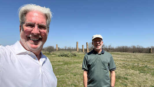
A selfie with the grounds
|
Ken by ...
|
... "Valley Creek Station"
|
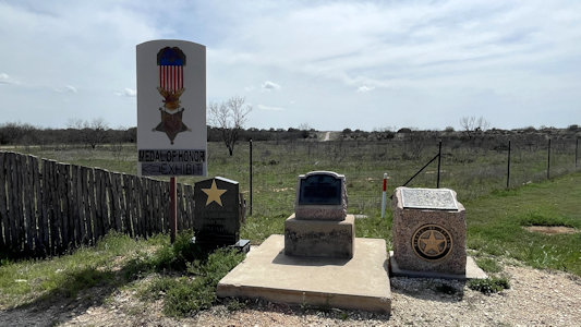
Informational area ...
|
... with marker for "Route of the ...
|
... Southern Overland Mail Line"
|
Ken by the marker
|
Tom Green County Courthouse
|
Me by sign for ...
|
... "Original Tom Green County"
|
The sign for ...
|
... Fort Concho
|
Ken by NHL plaque ...
|
... and "Fort Concho" sign
|
I get low for ...
|
... a barracks view
|
Parade grounds and officers' quarters
|
One last sign ...

|
... for "Castle Gap" ...
|
... with me
|
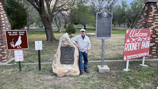
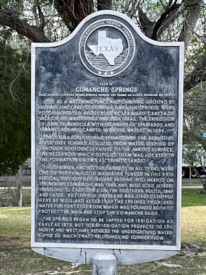
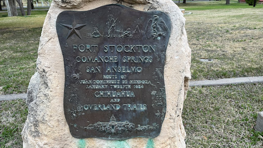
3/15/2013 [Fort Stockton] Another short juke to James Rooney Memorial Park for a couple of BOT signs, one standard interpretive-style. ... [Pecos] BOT Sign.
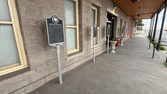
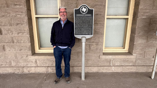
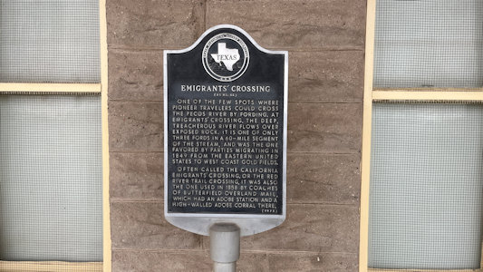
“Emigrants’ Crossing” This among a slew of other historic signs of similar design, all with the long text that we have experienced with these Texas signs.
Me in James Rooney Park ...
|
... and "Comanche Springs"
|
Little mention of BOT
|
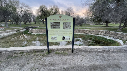
The park area with signage ...
|
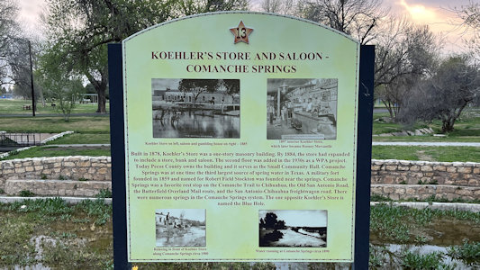
... about Comanche Springs and ...
|
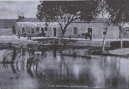
... 1878 Koeler's Store
|
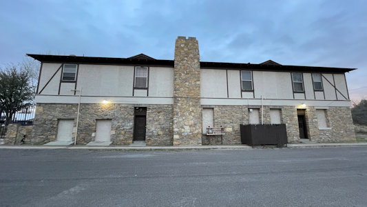
The store today
|
Pecos signs ...
|
... with Ken by ...
|
... "Emigrants' Crossing"
|