Home
Travel
NPS States
NPS Types
National Historic Trails (Non-Units) - Trail of Tears
Trail of Tears National Historic Trail (Alabama, Arkansas, Georgia, Illinois, Kentucky, Missouri, North Carolina, Oklahoma, Tennessee)
5/18/2002 Pea Ridge National Military Park
5/19/2002 Fort Smith National Historic Site From there into Oklahoma
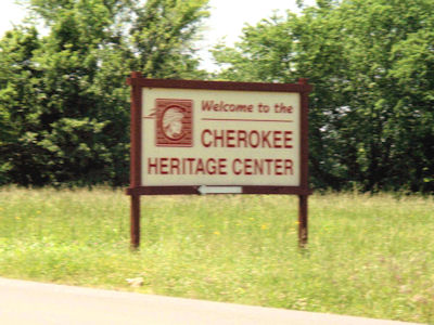
and up to Tahlequah to the Cherokee Heritage Center (stopping for picnic lunch on the way). First, saw a very nice
exhibit on the Trail of Tears [OK](this is the official terminus). Next a guided tour of a Cherokee village by native
people, then a walk around a bit of a rural town of later years.
The Heritage Center sign ...
|
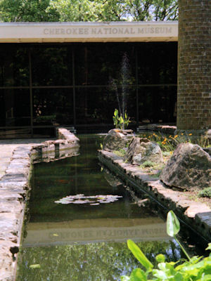
... and museum
|
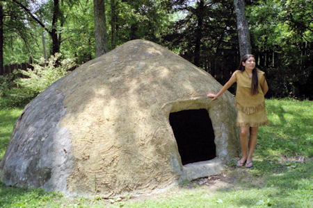
A native dwelling ...
|
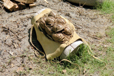
... and ceremonial art work
|
10/15/2017 Muscle Shoals National Heritage Area
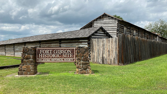
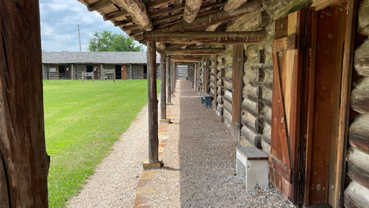
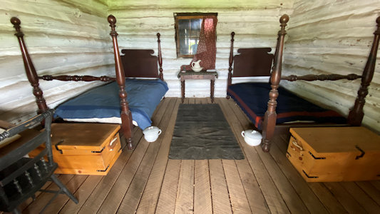
5/27/2021 Fort Gibson NHL (Fort Gibson). This is a military site which guarded the American frontier in Indian
Territory from 1824 to 1888, farther west than any other military post in the U.S. It is also one of the terminating points on the
Trail of Tears NHT [OK]. We got a nice short history of the fort from the guy there, then wandered around seeing some of the reproduction
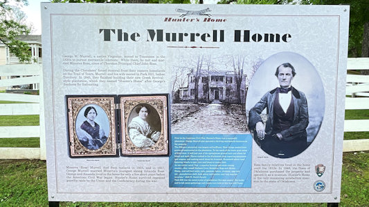
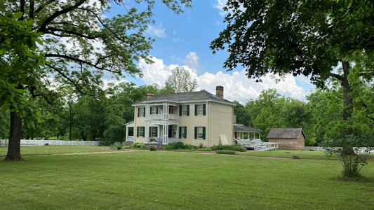
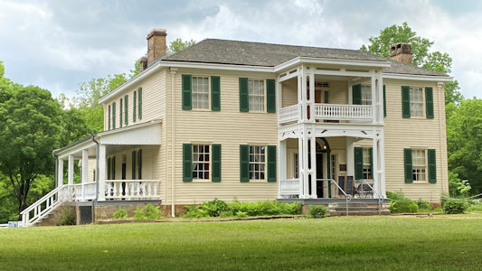
officers’ quarters, etc. and taking silly photos in the stocks. Murrell Home NHL (Park Hill). Built in 1845 it is one of the few buildings
to survive in Cherokee lands from the antebellum period between the Trail of Tears (NHT) relocation of the Cherokee people and the
Civil War. The last tour was done for the day here, but it still seemed open, it was a fee site and there were mask rules signs, so
we elected to just stay back and take photos.
The Fort park sign
|
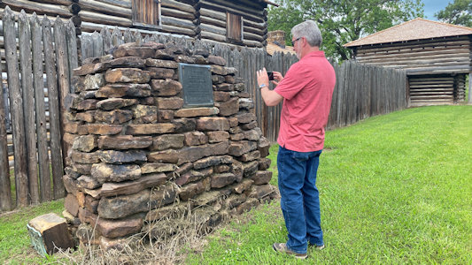
Ken photos the NHL plaque
|
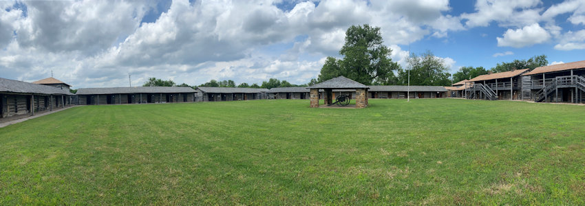
A nice panorama of the inside
|
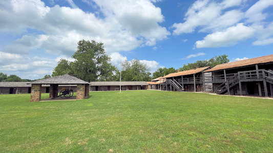
Some of the buildings
|
Classic fort shot
|
One of the reconstructed interiors
|
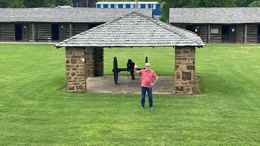
Ken by the cannon ...
|
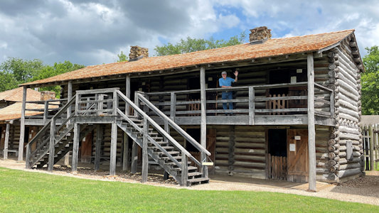
... and me by some quarters
|
Murrell interpretive signage
|
The house from a distance ...
|
... and closer
|
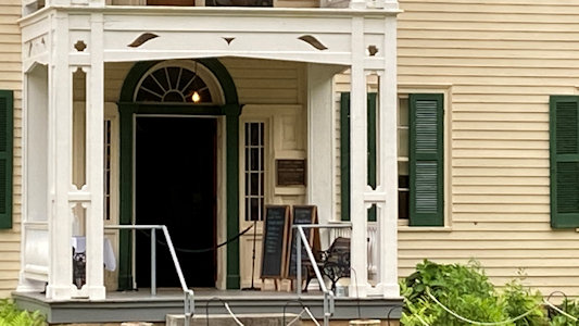
A long view of the NHL plaque
|
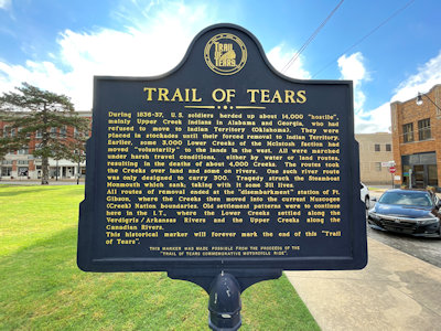
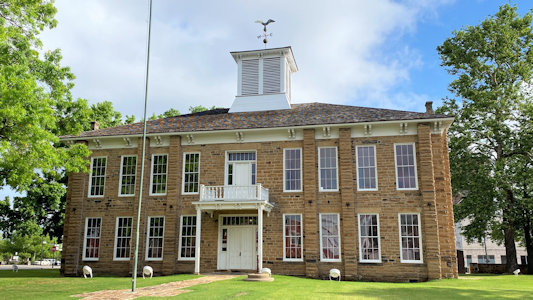
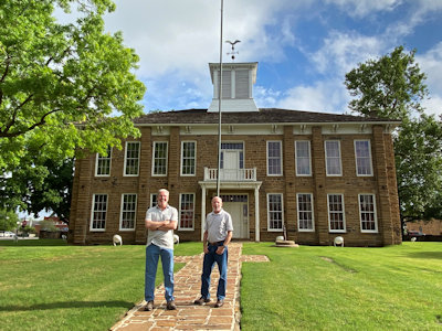
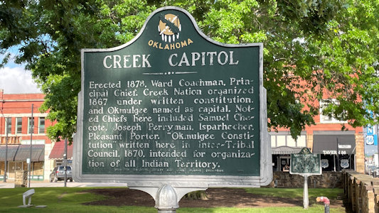
5/28/2021 ... and immediately off on a detour to Okmulgee and the Creek National Capitol NHL. This was the capitol
of the Muscogee (Creek) Nation from 1878 until 1907, when Oklahoma became a state. The weather is really nice - blue sky mixed with white
clouds, breezy and cool. We checked out the nice town square with the Capitol building, noting that this is also a terminus of the Trail of Tears NHT [OK].
Signage for the ToT
|
The Capitol out front ...
|
... and with Ken and me
|
More interpretive signage
|
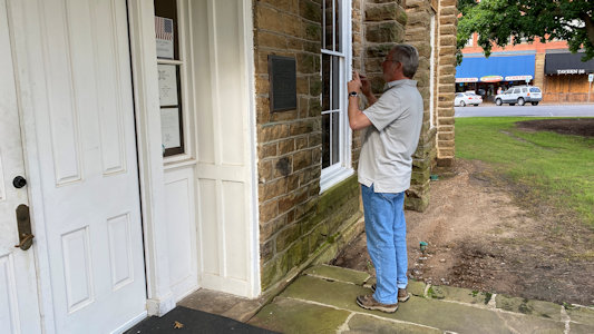
Ken photos the NHL plaque
|
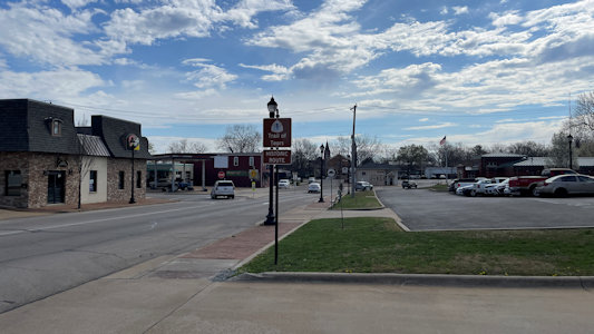
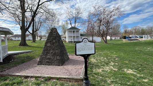
3/27/2025 Further along in Farmington ... After planning the trip Ken noted that there was supposed to be some Trail of Tears NHT
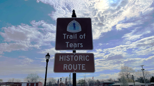
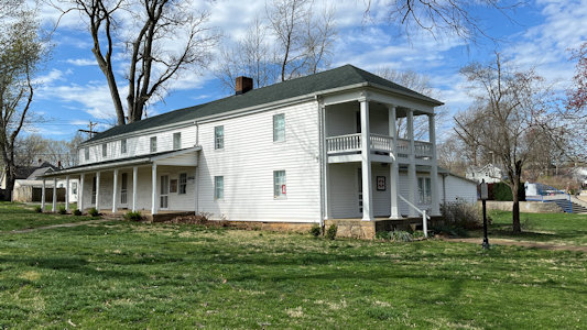
info nearby. We did note a ToT Auto Route sign, and we went to Long Park and photoed the Long House, noted by NPS as being on the ToT. “It was originally
built in 1833 by Phillip Graham Long and Isabella (Murphy) Long … In late 1837, the Cherokee Trail of Tears detachment took the route through Missouri
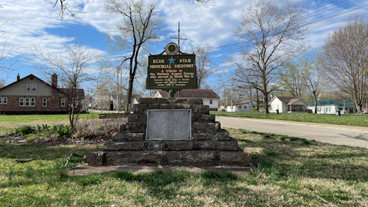
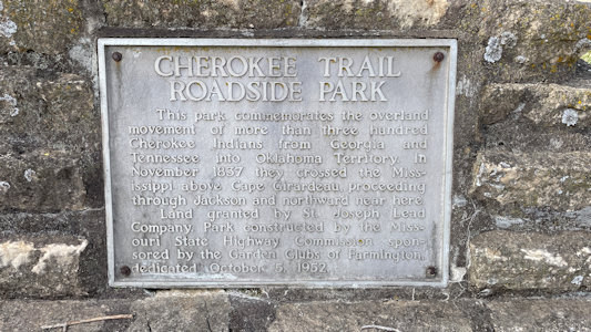
from Cape Girardeau, through St. Francois County, and on to Oklahoma”. On a nearby corner we also spotted a marker with some info about the ToT. Bonus!
A view of Farmington ...
|
... with ToT sign ...
|
... and emblem
|
Sign for ...
|
... the Long House
|
Across the street an historic marker ...
|
... with ToT info
|
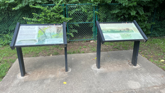
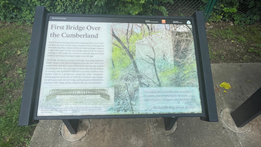
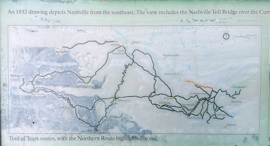
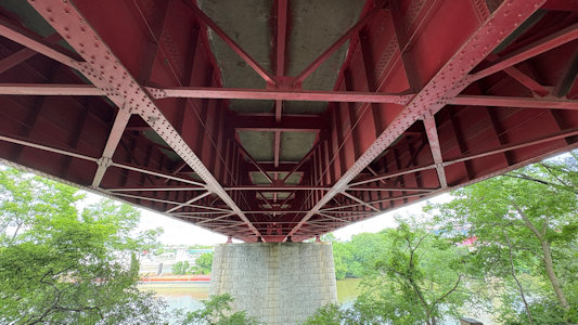
5/29/2025 Nashville Toll Bridge (NPS ToT). The Nashville Toll Bridge, built in 1823, was a significant landmark in Nashville,
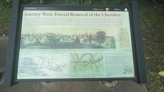
and played a role in the Trail of Tears. Thousands of Cherokees, forced to relocate west, crossed this bridge over the Cumberland River as part of their
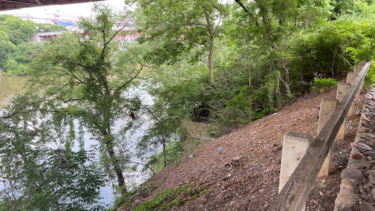
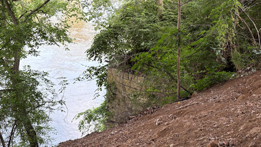
journey. While the bridge itself is no longer standing, a remnant of its stone abutment on the west bank of the river still exists. ... We headed on the
last stretch into Murfreesboro, noting we were on the ToT route.
Signage at the Toll Bridge
|
One sign about the bridge ...
|
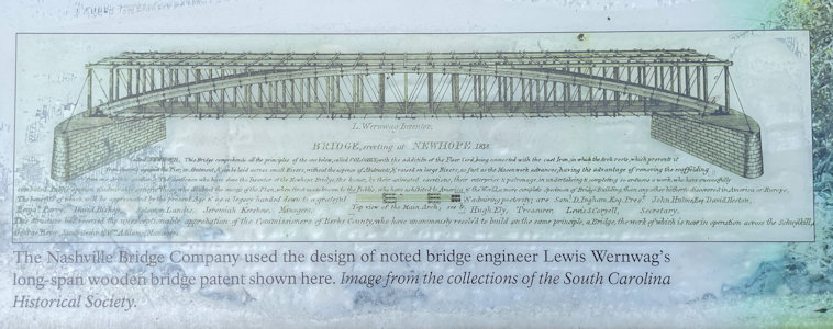
... and its construction
|
Second sign about ...
|
... Trail of Tears ...
|
... with NPS emblem
|
Remnants of ...
|
... the original abutment
|
Underside of the modern bridge
|
ToT auto route sign
|
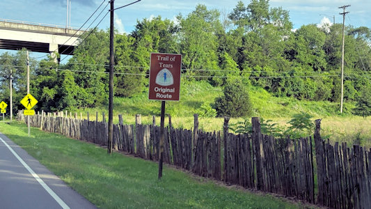
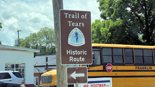
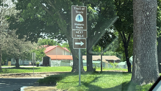
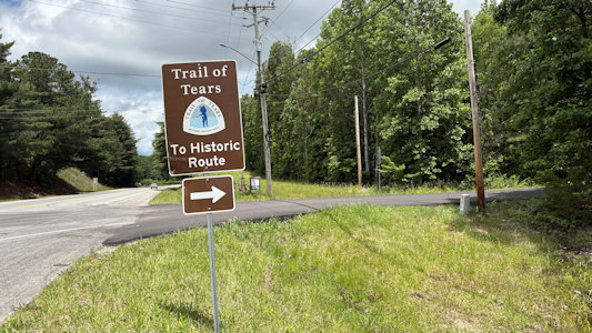
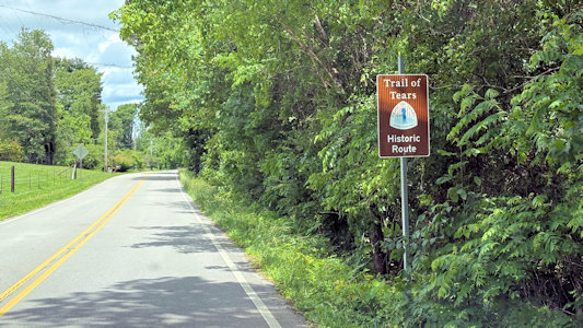
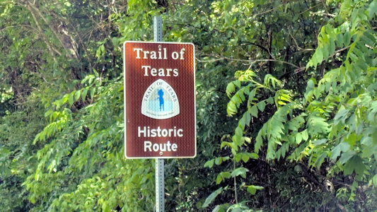
5/30/2025 As we left town [Winchester] we noted we were following the ToT NHT Auto Route for quite a bit. ... Once again, [after Sewanee]
we also noted that we were on the ToT NHT Auto Route. ...
Chickamauga and Chattanooga National Military Park/Moccasin Bend Archeological District NHL ...
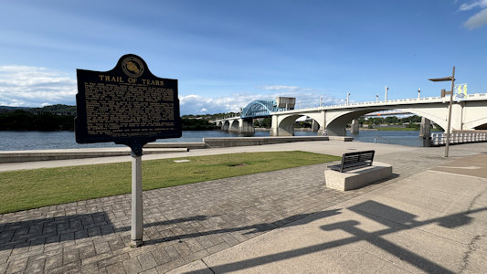
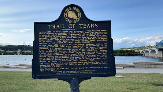
Ross’s Landing (NPS ToT). Site of Cherokee businessman John Ross’s ferry operation, and the location of departure for the first groups of Cherokees forcibly
removed in 1838 on the Trail of Tears. Ross served as the Principal Chief of the Cherokee Nation from 1828 – 1866. Ross's Landing became a designated departure
point for Indian deportation. In May 1837, approximately 350 Muscogee (Creek) Indians who had taken refuge in the Cherokee Nation were rounded up at gunpoint
and brought to Ross's Landing where they were put on boats and forced west. In 1837, two detachments of Cherokees left from Ross's Landing by boat under their
own accord. In 1838, the landing was a holding camp and launching point for the first three detachments of Cherokees forced from their homelands on the Trail
of Tears. In the first two of these detachments, over 1,300 Cherokees were crowded onto flatboats pulled by steamboats. In the third detachment, 1,072 people
crossed the Tennessee River on Ross's swing ferry and traveled overland to Waterloo, Alabama, where they boarded boats for Indian Territory.
Auto route signs ...
|
... Leaving Winchester
|
After leaving Sewanee ...
|
... we see more ...
|
... auto route signs
|
At Market Street Bridge, ToT info ...
|
... at Ross's Landing
|
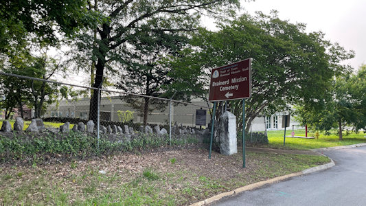
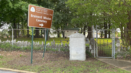
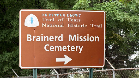
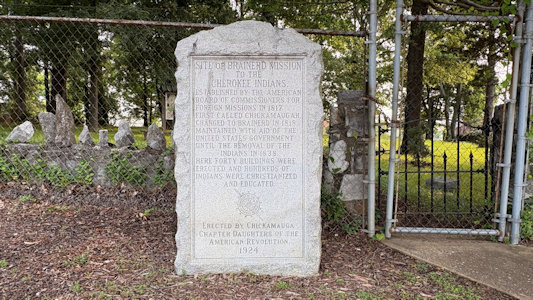
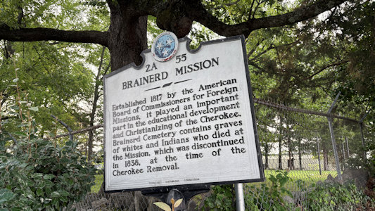
5/31/2025 Brainerd Mission Cemetery (NPS ToT and DAR). The American Board of Commissioners for Foreign Missions developed the area surrounding
the site originally as a mission within the Cherokee Nation. The property, buildings, and improvements were purchased from John McDonald, the grandfather of Cherokee
Chief John Ross. During removal, the missionaries sympathized with the Cherokee-most missionaries accompanied those that voluntarily removed before the 1838-1839
forced removal on the Trail of Tears, seeing removal as the way to save Indian culture. On August 18, 1838, the last church service was held at the Brainerd Mission
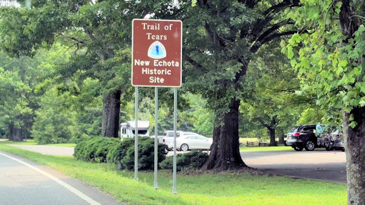
near the cemetery. ... New Echota NHL. Named in honor of their former chief town of Chota, based
along the lower Little Tennessee River, this was the capital of the Cherokee Nation from 1825 until their forced removal in the late 1830s. Also
New Echota State Historic Site and NPS ToT NHT site; for the latter we saw route signs as
we approached the park. We walked along what had been the streets of the town, checking out the existing and reconstructed buildings of the large Cherokee Nation capital.
The Brainerd ...
|
... Mission Cemetery Area ...
|
... with sign (with ToT) ...
|
... monument ...
|
... and interpretive signage
|
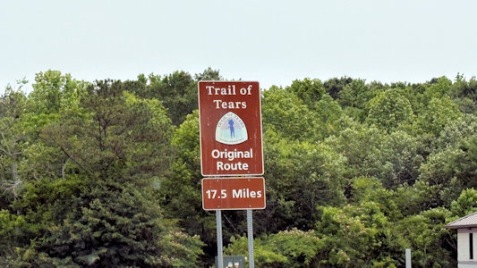
ToT auto route ...
|
... approaching New Echota
|