Home    Travel    NPS States    NPS Types

National Scenic Trails (Non-Units) - Multi-State


Continental Divide National Scenic Trail (New Mexico, Colorado, Wyoming, Idaho, Montana

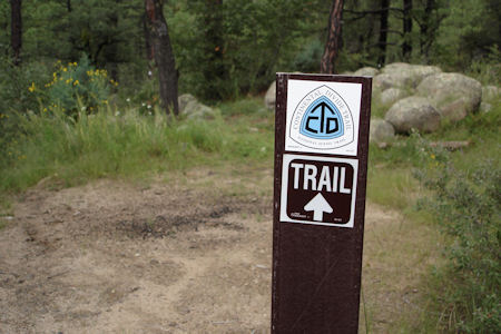
9/12/2008 Headed over the continental divide – more fantastic views. Having asked a ranger earlier, I pulled off at a historic site where the Continental Divide NST [NM] came through, and walked on the trail a little.

A blaze on a tree ...
NPS Image
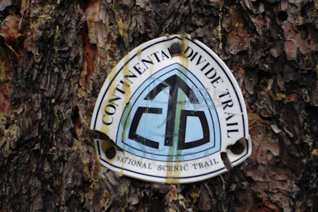
... and a sign
NPS Image

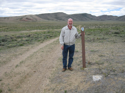
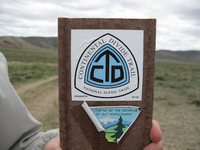
5/31/2013 ... detoured north of town to find a Continental Divide NST [WY] crossing. At first we thought we had problems, because the sign we researched turned out to be on something else about Wyoming, but then we spotted nearby the real deal. We walked a very short way on the trail, mostly to photo a clean blaze.

Interpretive signage
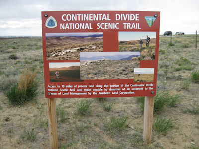
NPS Image
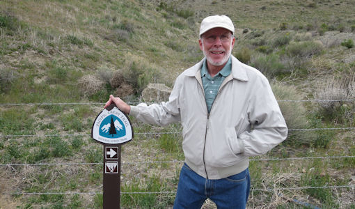
Me by a trail sign ...
NPS Image
... and a closeup of the blaze
NPS Image

9/20/2018 Glacier National Park.


New England National Scenic Trail (Massachusetts, Connecticut)

6/20/2014 ... on the road northeast to Castle Craig. This is a 32 foot stone tower dedicated in 1900 by Walter Hubbard as part of Hubbard Park. It stands on a very steep bluff of the Hanging Hills high over the surrounding land and offers great views. As nice as it was, the point of going here was to take a very short walk (due to the rugged nature of it) on the Metacomet Trail which is part of the New England National Scenic Trail [CT].

Me by a blaze ...
NPS Image
... and a trail warning sign
NPS Image
A look down the rugged trail
NPS Image
Castle Craig
NPS Image
A nice panorama
NPS Image
Great view from the Castle
NPS Image

7/4/2015 then continued down to Meriden and Giuffrida Park. Here at the dam at the end of Crescent Lake we followed the New England Scenic Trail [CT] for a little bit.

The park sign
NPS Image
Looking north up the lake
NPS Image
Across the dam
NPS Image
Me pointing down the trail
NPS Image
A trail map
NPS Image
The trail emblem
NPS Image


North Country National Scenic Trail (Michigan, Minnesota, North Dakota, New York, Ohio, Pennsylvania, Wisconsin)

8/26/1998 Pictured Rocks National Lakeshore

6/6/1999 Watkins Glen State Park

6/13/2008 Stopped at Lake Sakakawea SP, which was formed by damming the Missouri. Stopped at the visitor center to register and get info, then walked about a mile of the North Country NST [ND], which terminates right there. On the way Ken found a cool souvenir – a deer antler! Returned via the Overlook Trail, which did just that for good views of the lake.

The park sign
NPS Image
Ken and me by the trail sign
NPS Image
A trail blaze
NPS Image
Nice view of the lake
NPS Image

6/21/2009 First stop, Cascade River SP. We picked up a park pass for all the parks, then parked and walked across the river, viewing the beautiful gorge and cascades (duh). We hiked along the river following the Superior Trail, also part of the North Country National Scenic Trail [MN]. We went to a spot where we could get right near a cascade, and I climbed down on a ledge for a nice view. On the return hike, Ken went back to the bridge while I stayed on the gorge edge for good photos. ... Moved on down the road a little further to Gooseberry Falls SP. Here we walked under the highway, along then across the river on a bridge, and joined the Superior Trail (North Country) again for a loop around the other side of the river. We rejoined the path across the river under the bridge where the highway crossed for views of the Upper Falls then downstream to the Middle Falls. Very pretty, though not as spectacular as some of the falls we saw earlier in the day.

Cascade River park sign
NPS Image
Rushing cascade
NPS Image
The trail blaze
NPS Image
Me on a ledge ...
NPS Image
... and Ken on a bridge
NPS Image
Gooseberry Falls park sign
NPS Image
The trail blaze
NPS Image
Me by the falls
NPS Image

6/22/2009 Headed south through Superior to Pattison SP in WI. We knew the North Country trail [WI] came through here, and asking a grounds-keeper got us to it. The rain had picked up from drizzle to showers, so we walked the trail along the lake, photoed the blaze, and called it.

The park sign
NPS Image
The trail blaze
NPS Image
Fog on the lake
NPS Image

6/29/2009 … drove to Canastota. Found a stretch of the North Country Trail [NY] in town along the canal and turning along the main road, and walked it a bit, then continued south a short way to Schreid Park. This “park” is pretty much unimproved scrub land. We walked down to and along an old railroad bed and hit the NCT again, which we followed to a footbridge over a stream. Very muddy around here due to a storm just a couple hours before, getting our good shoes and slacks dirty. Headed back up the trail ...

Ken by a blaze in town
NPS Image
Another blaze
NPS Image
A trail sign ...
NPS Image
... and some detail
NPS Image
A small bridge over a stream
NPS Image

6/10/2010 Went a short bit east to the other side of I75, also in the park, and picked up the North Country NST [MI]. We parked and hiked this trail a ways to an observation platform with an even better view of the bridge. Pictured Rocks National Lakeshore

The park sign
NPS Image
Climb to the platform
NPS Image
The view of Mighty Mac
NPS Image
Ken and me
NPS Image

6/1/2017 At the west end of the dam we hiked/walked a little on the Great Miami River Recreational Trail, which is also part of the North Country NST [OH].

Park and trail signage
NPS Image
Me toaking a photo of ...
NPS Image
... the trail emblem
NPS Image
More trail info ...
NPS Image
... and emblem
NPS Image
The trail
NPS Image

10/19/2020 Crown Point State Historic Site


Pacific Crest National Scenic Trail (California, Oregon, Washington)

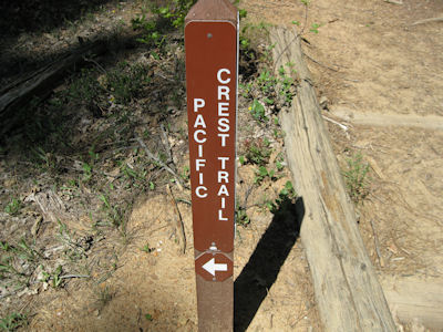
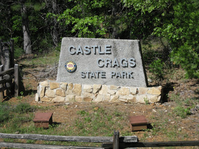
5/13/2009 Back on the road east then north to Castle Crags SP. ... Back down to the parking and picked up the Castle Dome trail for a short way to the Pacific Crest NST [OR]. Took that a short ways to make it official, then back to the car.

The park sign ...
NPS Image
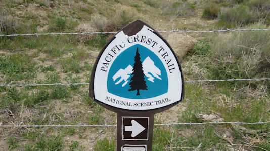
... and trail sign
NPS Image
A pretty sight along the trail
NPS Image

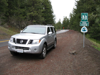
5/14/2009 Went south a ways, and got off I5 between Ashland and the border on 99. Here is where the Pacific Crest trail [CA] crosses I5. I parked and hiked a short ways in the woods.

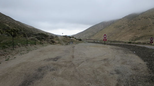
Parked by the trail crossing
NPS Image
The trail blaze
NPS Image
Me on the trail
NPS Image

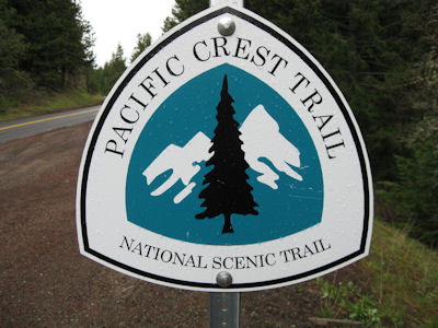
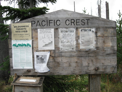
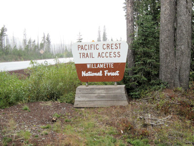
9/21/2013 The road back headed through the Cascades, with many nice views and a pleasant drive, despite occasional showers. Stopped at a trail crossing for the Pacific Crest NST [OR] for a short walk on the trail.

Nation Forest trail sign ...
NPS Image
... and info board
NPS Image
A look down the trail
NPS Image
Trail blaze
NPS Image

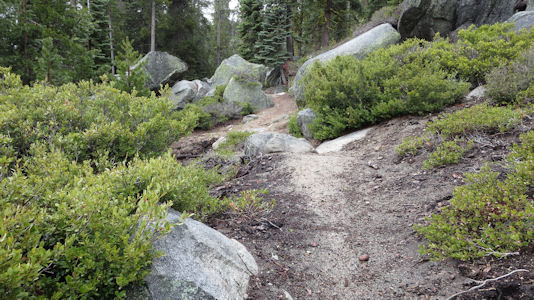
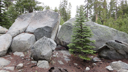
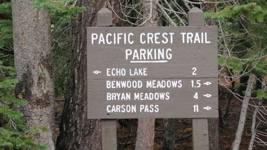
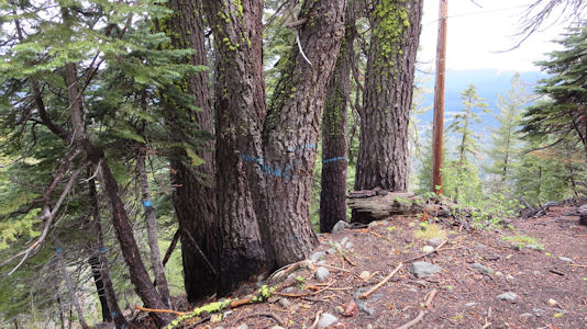
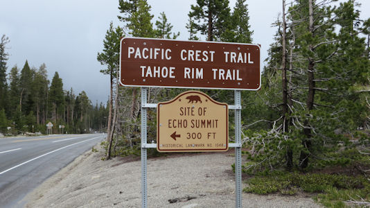
5/22/2015 Continuing into the Sierra on the LH we made two minor detours for the Pacific Crest NST [CA]. At the first there were signs for the trail, and we walked it a bit although it was so obvious we didn't see any blazes. The weather was improving slowly and we enjoyed the short walk through the huge boulders in the rugged terrain among the beautiful tall pines. Driving up the summit to the second stop we stopped at the Echo Summit Lodge, which was marked with LH signs and offered nice views back towards Lake Tahoe. At the second trail site the trail, near Echo Lake cabin and boating areas, was not nearly so obvious as the first so there were many blue blazes identifying it. [At this second location the trail was also the Tahoe Rim Trail NRT.]

The trail parking sign
NPS Image
A little section of trail
NPS Image
Very rough terrain
NPS Image
A pretty trail sight
NPS Image
Echo Lake sign
NPS Image
Blazes on the trees
NPS Image
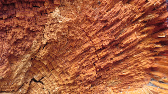
A cool close-up of log
NPS Image

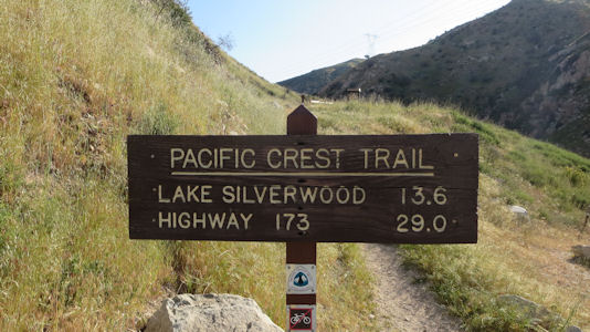
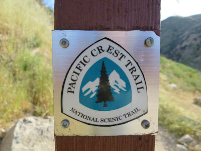
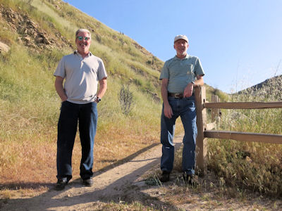
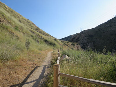
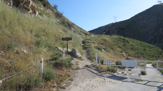
4/9/2019 Old Spanish National Historic Trail. ... Additionally, with a very short walk down the road, we came to a trailhead for the Pacific Crest NST [CA]. There was a little information board, and a good trail emblem for our official photos, on another gorgeous morning. Conveniently (especially for PCT hikers) just up the road there is a McDs, which we took advantage of for a drink and potty stop. ... We made a quick stop along the highway for another crossing of the PCT, made even quicker by the cold wind and a few raindrops.

Trailhead view
NPS Image
Trailhead sign ...
NPS Image
... with blaze/emblem
NPS Image
Ken and me
NPS Image
Looking up the trail
NPS Image
Second stop with me ...
NPS Image
... and blaze/emblem
NPS Image
A look down the trail
NPS Image

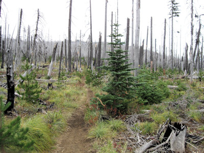
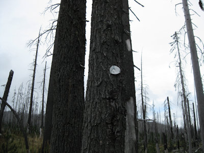
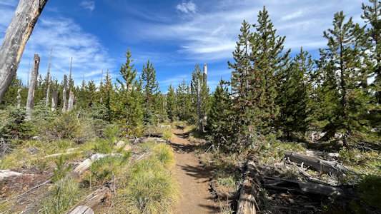
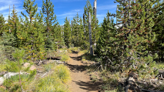
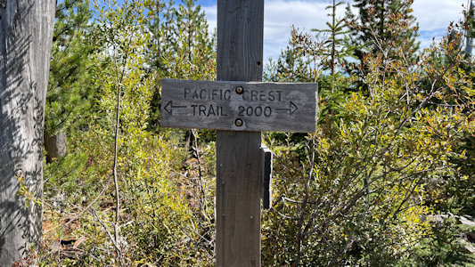
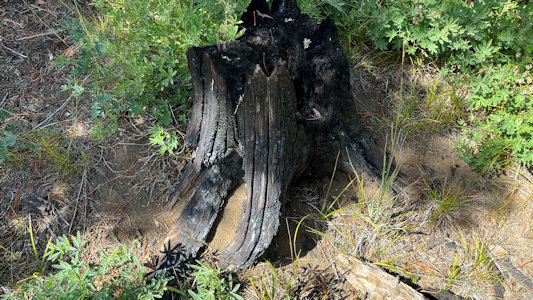
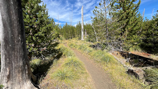
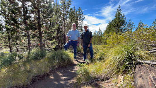
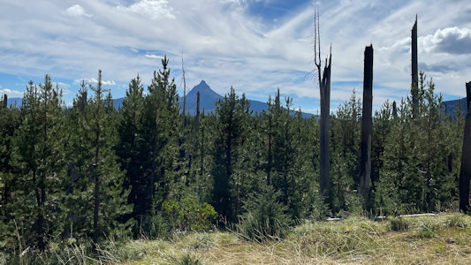
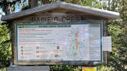
9/19/2024 Although we had missed a Pacific Crest NST stop on the planned route, as one might expect the north-south-oriented trail intersected our bypass route, and we pulled into a National Forest area with the NST trailhead for a pleasant walk. Like many places, the trail had a lot of singed and fully burnt trees, but it was a pleasant walk in the woods.

Info about the trail
NPS Image
Views along ...
NPS Image
... the obvious trail here
NPS Image
Helpful signage
NPS Image
Evidence of fires
NPS Image
Another trail view ...
NPS Image
... with Ken and me
NPS Image
Distant mountain ...
NPS Image
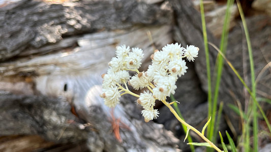
... and local flora
NPS Image
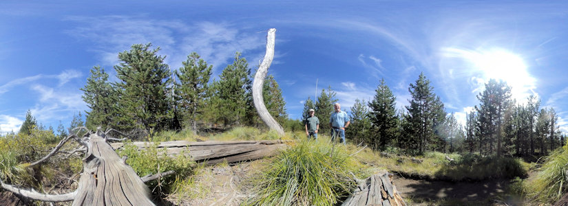
Fun 360 with us
NPS Image


Pacific Northwest National Scenic Trail (Idaho, Montana, Washington)

Not visited.