Home
Travel
NPS States
NPS Types
National Historic Trails (Non-Units) - New Mexico
El Camino Real de Tierra Adentro National Historic Trail
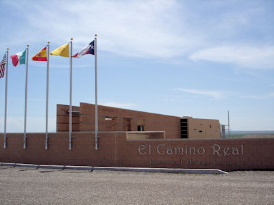
5/26/2007 On the I25 then back roads to the El Camino Real del Tierra Adentro International Visitor Center.
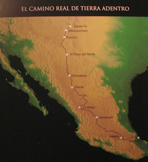
This is a new place with good exhibits on the Camino Real, a trading route from Santa Fe to Mexico City (trail part of the NPS).
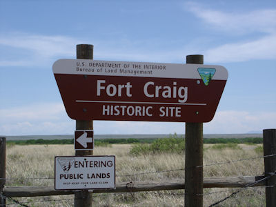
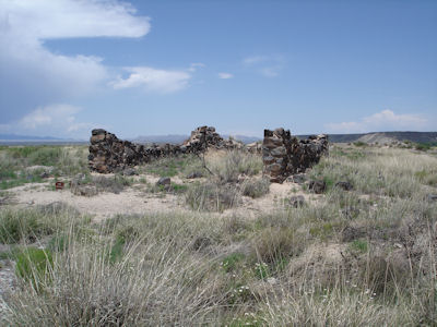
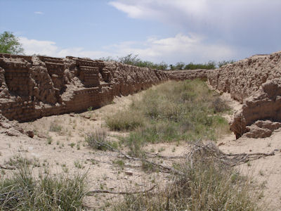
From here a few miles more on dirt roads to Fort Craig Historic Site [BLM]. Took a trail around the ruins of the Civil War fort. Most
of the buildings were made from mud bricks so not much left; even the stone buildings were just a few parts of walls. Continued
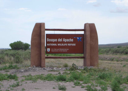
north on the side road [El Camino Real Byway] to Bosque Del Apache NWR. Got a lot of info from the guy at the visitor center
(all about different birds) then took part of the loop drive, and did see many birds. This is quite a place – at the right times
10s of thousands of some birds can be seen (on the flyway). [The Fort and NWR are also on the NHT.]
The International VC
|
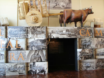
Entrance to one of the many exhibits
|
A map of the trail
|
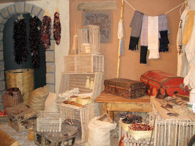
Detailed vignette
|
The Fort sign
|
Some of the ruins
|
Ruins of a long building
|
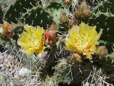
A local plant on the Trail
|
The Refuge sign
|
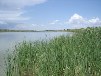
A very pretty area!
|
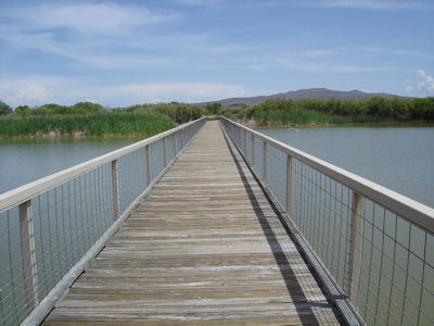
Looking along a causeway
|
9/10/2008 Santa Fe National Historic Trail
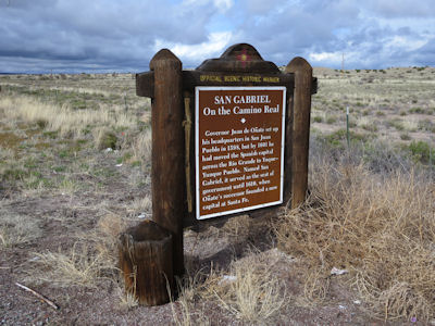
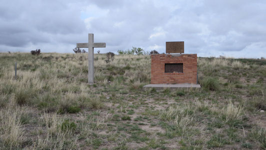
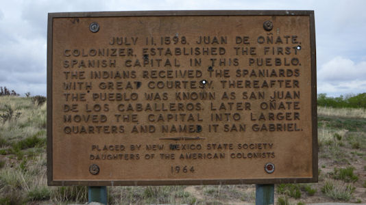
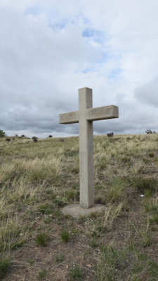
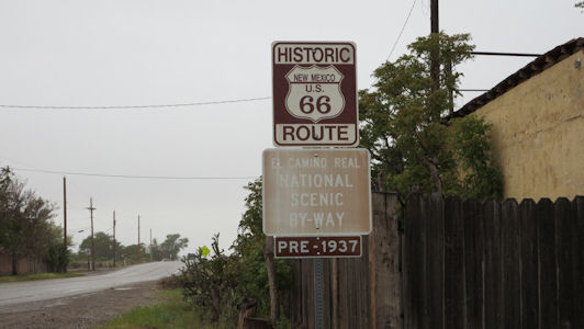
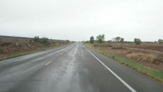
4/28/2017 … we continued south to find the San Gabriel de Yungue-Ouinge NHL near Ohkay Owingeh. The site of the first Spanish capital of its provincial territory of Santa Fe de Nuevo Mexico, at the location of two pueblos. Also known as San Juan, the site is on the El Camino Real de Tierra Adentro NHT and Northern Rio Grande NHA. We read the interpretive marker for which we had a firm location, then went off on the side roads looking for the actual location and memorial (the archaeological site was leveled and plowed over in 1984). After a little circling and searching we spotted it and took some quick photos - a little cold in the brisk breeze. On the road for the last leg into Albuquerque, following the El Camino Real NSB down to Santa Fe. We picked up Historic Route 66 NSB on the Interstate south of Santa Fe and well north of Albuquerque, then as we got closer we got off the highway for another stretch of the El Camino Real NSB and continued on Route 66.
The state sign
|
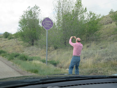
Me photoing ...
|
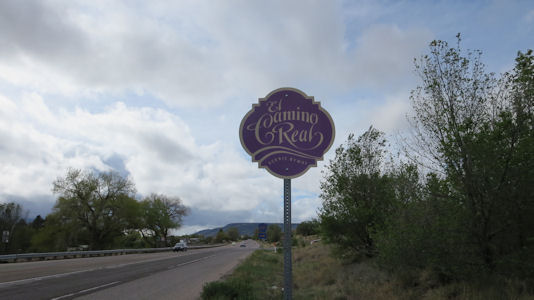
... the Byway sign
|
The memorial site
|
Descriptive signage
|
Cross detail
|
Route 66 and El Camino Byway signs ...
|
... and a view along the route
|
7/30/2017 Back on the road we headed back down the mountains and into Santa Fe, picking up the El Camino
Real NSB again and following it into town, where we parked near the NM State Capitol. ... From there we walked in a loop to see
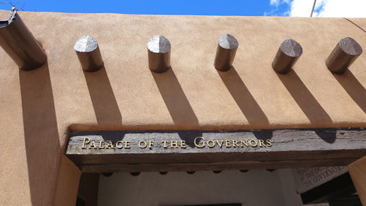
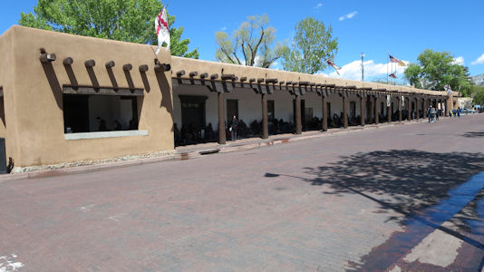
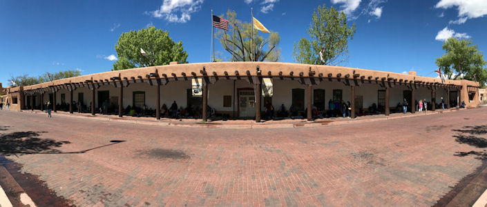
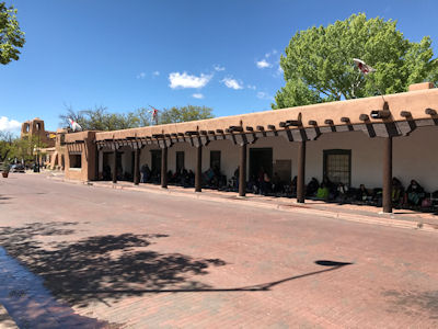
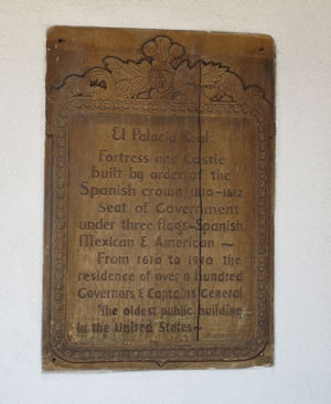
a set of NHL and NHT sites: Palace of the Governors NHL, an adobe structure that served as the seat of government for the state
of New Mexico for centuries, and the oldest continuously occupied public building in the U.S. This is also a site on the El
Camino Real de Tierra Adentro NHT.
Palace sign
|
The Palace from the left ...
|
... panorama ...
|
and the right
|
Historical info
|

