Home
Travel
NPS States
NPS Types
National Historic Trails (Non-Units) - Multi-State[Q-Z]
Santa Fe National Historic Trail (Colorado, Kansas, Missouri, New Mexico, Oklahoma)
6/4/1995 Fort Union National Monument
9/25/2004 Bent's Old Fort National Historic Site
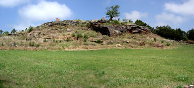
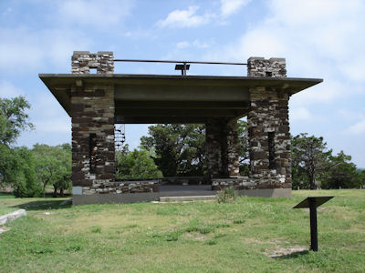
6/11/2007 Back on the road south through Hays and to Pawnee Rock [SHS], an outcropping on (and visible from) the
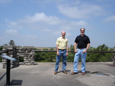
Santa Fe Trail [NHT in KS]. Walked around and went on the roof of the pavilion for good views of the prairie. ...
Fort Larned National Historic Site
The view as from the trail
|
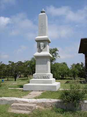
The monument ...
|
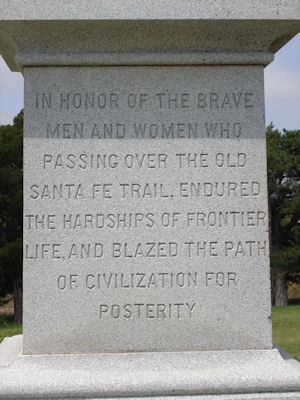
... with inscription ..
|
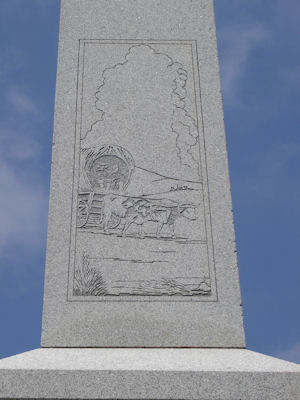
... and trail image
|
The pavilion ...
|
with us on top
|
9/10/2008 Went into SF to the park-like [Santa Fe] Plaza [NHL] (start of the Old Spanish and also on the
Santa Fe and El Camino Real de Tierra Adentro NHTs [NM]) ...
A nice panorama of the Plaza

|
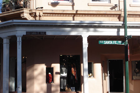
Santa Fe Trail sign
|
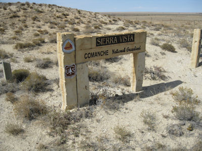
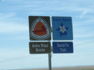
10/4/2012 The whole stretch was along the Santa Fe Trail Scenic Byway. I stopped at two Santa Fe NHT [CO] sites.
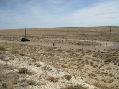
First was Sierra Vista, with nice views across the plains to the Rockies (considered a milestone along the route). The other was
at Iron Spring which was an important water stop.
On the auto route
|
Sierra Vista sign
|
The NHT blaze
|
Wide-open area!
|
Auto route and Scenic Byway signs
|
Iron Spring sign
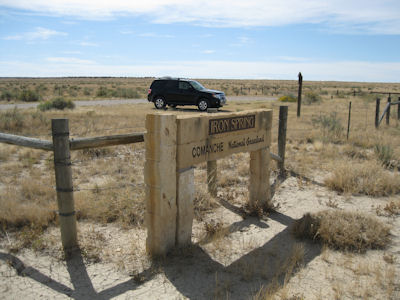
|
A trail sign
|
Some interpretive signage
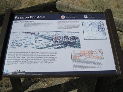
|
Hard to see the ruts here
|
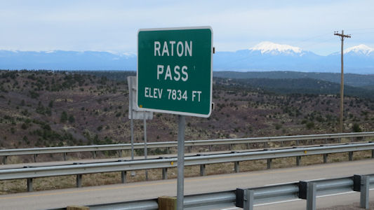
4/28/2017 Leaving Trinidad we got on the Santa Fe Trail NSB, and not long after heading south,
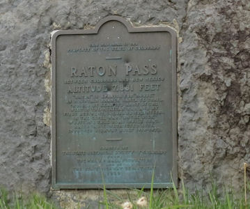
we crossed into NM and immediately got off to see a small wayside exhibit and plaque on the Raton Pass NHL. This is a
mountain pass along the Colorado/New Mexico border on the Santa Fe Trail (and on the Santa Fe NHT [NM]). Although I had
already taken credit for this, knowing I had passed over years ago, this was more official with a photo. We left the
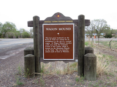
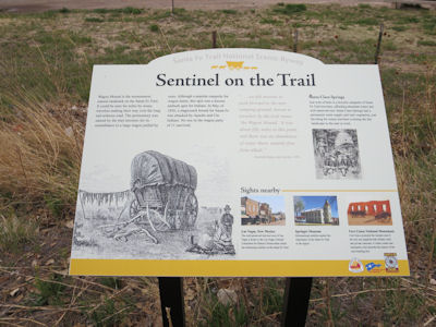
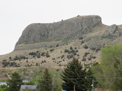
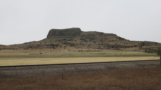
SFT NSB after Raton, then rejoined it as we continued more south to the Wagon Mound NHL near the eponymous town. Wagon
Mound is a butte that was a major landmark for pioneers along the Cimarron Cutoff of the Old Santa Fe Trail, and is a
site on the Cimarron Route of the Santa Fe NHT. Although we had taken some photos from the Interstate, we drove down a
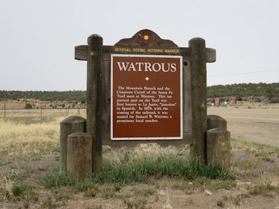
local road for better views. Further south brought us to Watrous (La Junta) NHL District, which encompasses the historic
junction point of the two major branches (Mountain and Cimarron Cutoff) of the Santa Fe Trail. After checking out an
historic marker, we drove through the very small and sad-looking town which did have some surviving historic structures,
also on the Santa Fe NHT. Ken had scoped out a stage station on private property for a representative photo, but we
couldn't see any reasonable way of getting near it - oh well. Note: we have been back on the Santa Fe Trail from well
north of Wagon Mound, and left it a little after here.
At the Pass
|
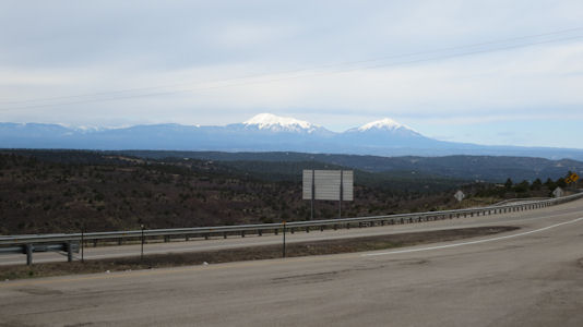
Beautiful mountain view
|
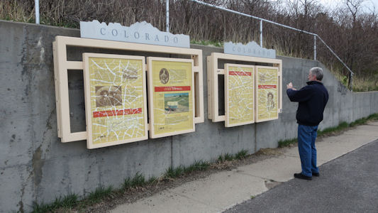
Signs about the trail
|
The inaccessible plaque
|
A close-up
|
Wagon Mound state sign ...
|
... and interpretive sign
|
NHT and Byway!
|
The Mound from near town
|
A better view from further away
|
Watrous state sign
|
Byway sign
|
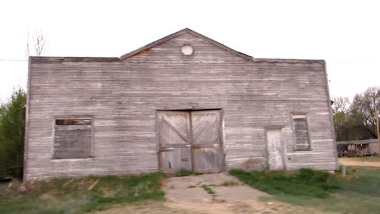
Beautiful downtown Watrous
|
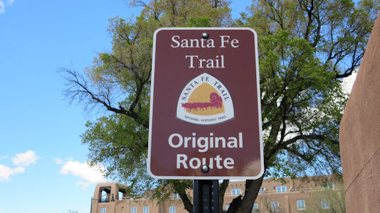
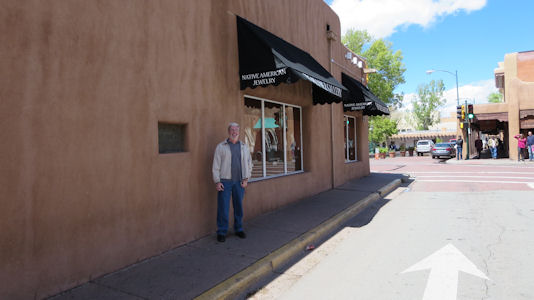
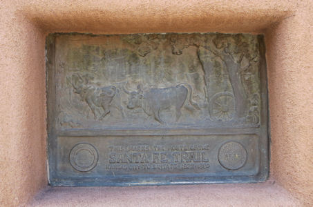
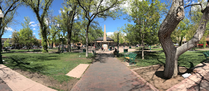
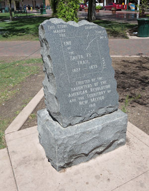
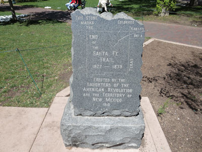
4/30/2017 Santa Fe NHT [NM]. We passed road signs and a plaque embedded in a wall, along with a stone
“end of the trail” marker in the Santa Fe Plaza NHL. This is the center gathering place in town, echoing the traditional
Spanish-American colonial cities.
NHT sign in town
|
Ken near ...
|
... a plaque
|
Santa Fe Plaza
|
End of the trail ...
|
... stone marker
|
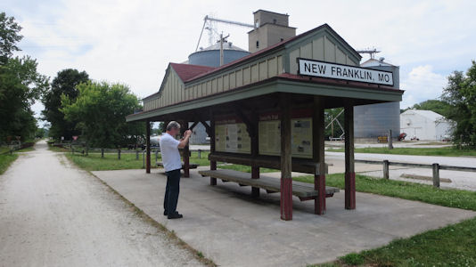
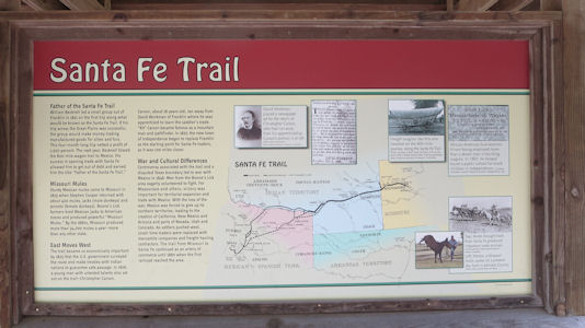
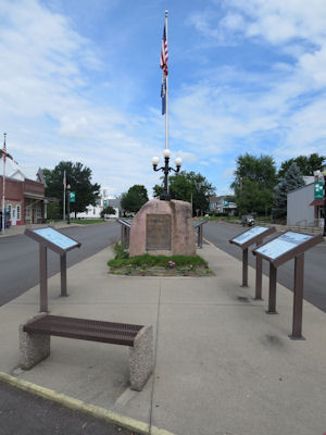
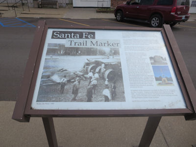
6/4/2017 Onward west we stopped right outside of New Franklin in the Katy Trail State Park for some
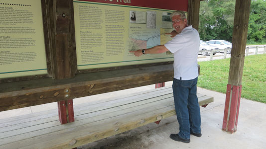
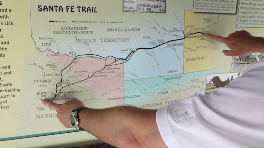
signage to take credit for the starting point of the Santa Fe Trail (NHT in MO), which we found. Across the street were some modern
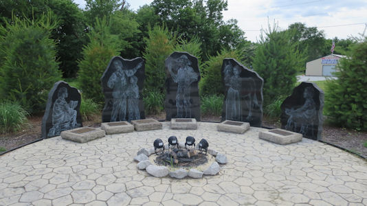
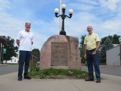
etchings on granite depicting people involved with the Trail, and in town we photoed a stone and plaque placed by the DAR
in 1909. The Trail had actually started in Franklin, but that town had been washed away in floods and was reestablished a
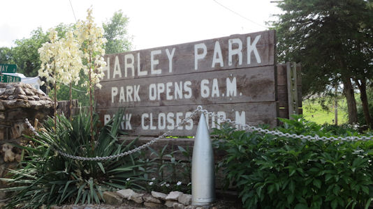
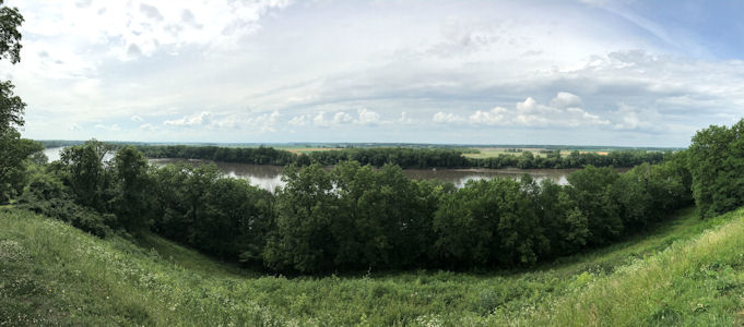
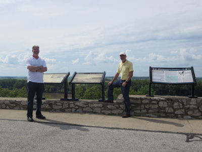
little inland. Across the Missouri in Boonville we went to Harley Park where I had researched some Trail info. At Lookout
Point, with nice views across the river, were in fact signs for not only the Santa Fe NHT, but also a bonus L&C NHT!
Katy Trail State Park ...
|
... with Santa Fe Trail info
|
Ken pointing out ...
|
... the start and end of the trail
|
Trail history in art
|
New Franklin memorial
|
Trail info
|
Ken and me by the memorial
|
Park sign
|
That'a way ...
|
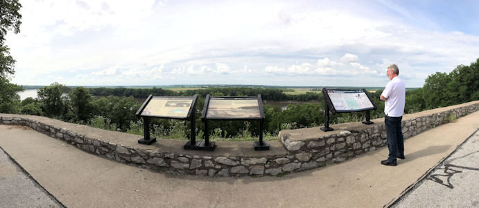
... to the SF and L&C trail info
|
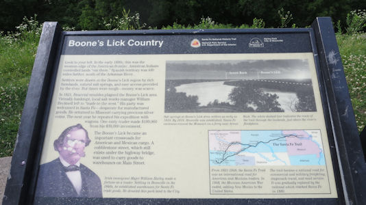
Santa Fe trail info ...
|
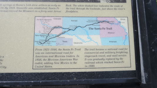
... and map
|
The NHT logo
|
A nice panorama of the river and trail area
|
Ken and me at the overlook
|
5/31/2019 Oregon National Historic Trail
5/26/2021 Oregon National Historic Trail
Star-Spangled Banner National Historic Trail (District of Columbia, Maryland, Virginia)
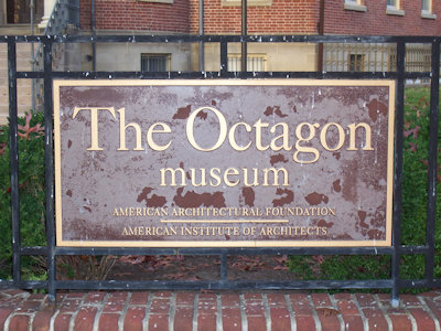
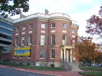
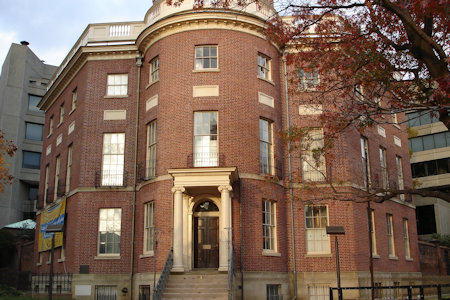
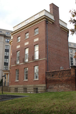
11/8/2008 Walked back to the car and drove a short way to the Octagon House [NHL, and on the new Star-Spangled Banner
NHT in DC], an old unique structure (and temporary home of President Madison) with eight sides ...
The House sign
|
Nice 3/4 view ...
|
... and the front
|
Looks skinny from the side
|
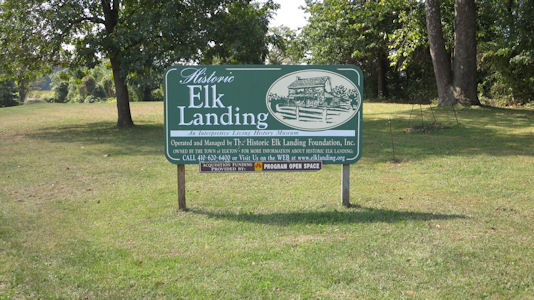
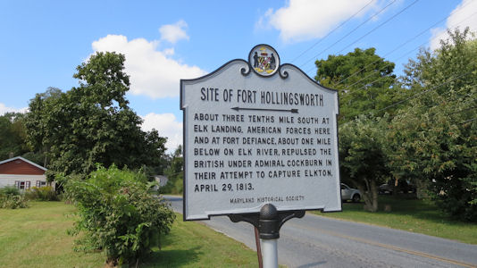
9/20/2014 ... then continued up to Elk Landing in Elkton, on the Star-Spangled Banner NHT and the
Washington-Rochambeau Revolutionary Route (W3R). During America’s late Colonial and early Federal periods, roughly 1770
to 1820, Elk Landing was the mid Atlantic’s northernmost navigable inland waterway and the preferred route of north and
south travel for many well-known patriots. In addition the site served as a shipping and supply port for America’s
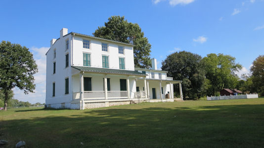
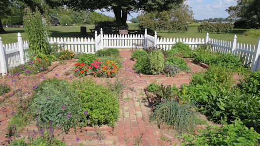
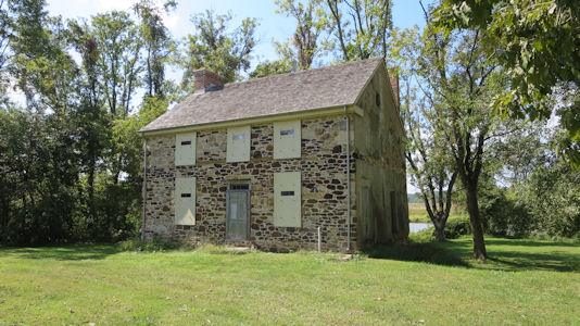
Continental Army. We walked around the grounds, which includes two stabilized and partially restored homes.
The site sign ...
|
... and historical info
|
One of the houses ...
|
... and garden
|
The other house, in need of restoration
|
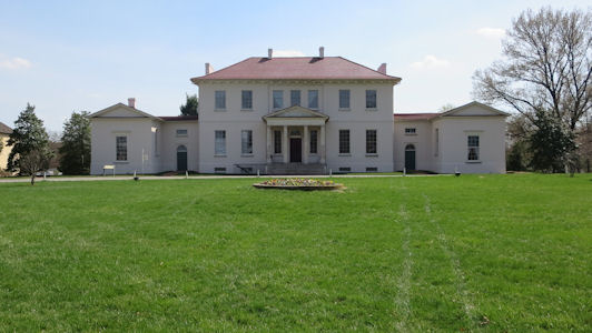
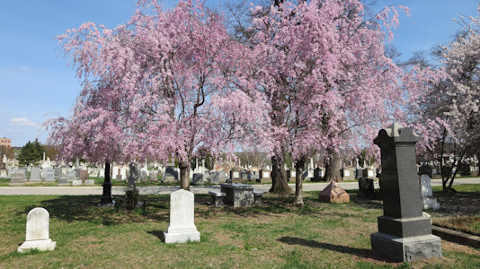
4/13/2015 Continued into MD to Riverdale and the Riversdale Mansion NHL. This is a five-part,
large-scale late Georgian mansion with Federal interior, built between 1801 and 1807. Walked around the grounds a little
on a beautiful spring day. The site is also on the Star Spangled Banner National Historic Trail [MD]. Continued south into
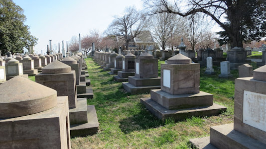
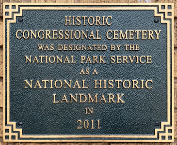
DC to the Congressional Cemetery NHL, the only American "cemetery of national memory" founded before the Civil War
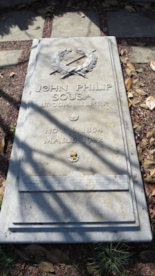
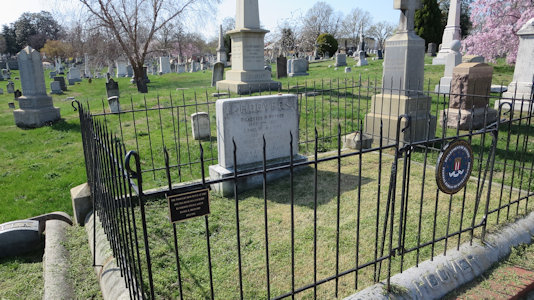
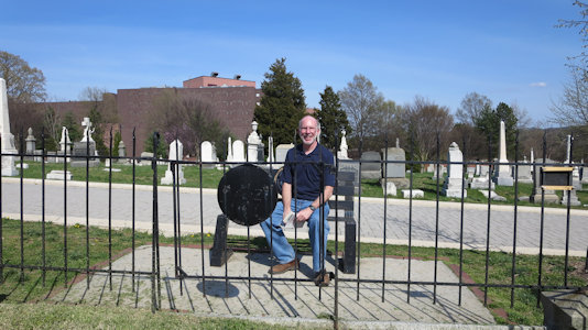
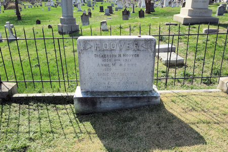
[and on the SSB NHT in DC]. Also enjoyed strolling around here with the apple blossoms in full bloom. I found the graves
of John Philip Sousa and J Edgar Hoover, and noted the even arrays of congressional representatives, famous and not.
The Mansion ...
|
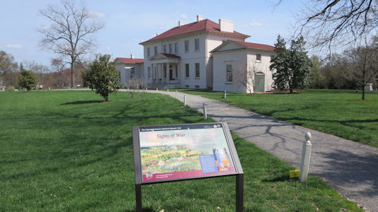
... with interpretive sign
|
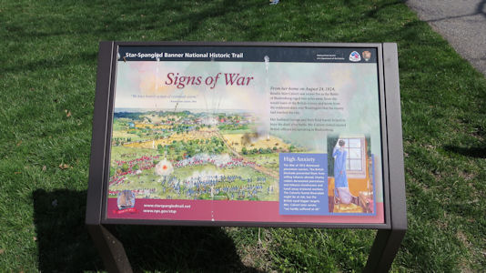
Closeup of the sign
|
The Trail blaze
|
Nice spring day ...
|
... in Congressional Cemetery
|
Sousa grave
|
Hoover grave ...
|
... with me
|
Hoover stone ...
|
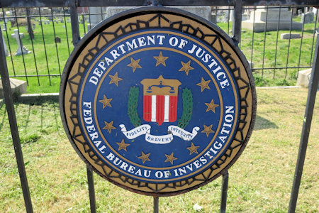
... and FBI icon
|
10/19/2016 Baltimore NHA
11/14/2016 ... I hit some Star-Spangled Banner NHT [MD] sites in Bladensburg. Stopped at Bladensburg Waterfront Park
on the Anacostia River to check out the VC but the hours changed and it wasn't open, so just read the various interpretive signs around
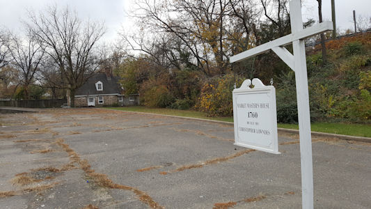
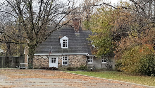
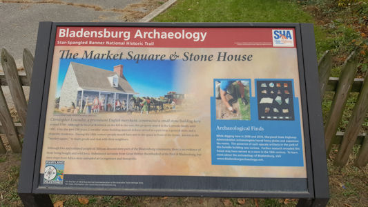
the outside. Headed NE to photo two homes. The Market Masters House is 1765 stone dwelling with 20th-century additions constructed when
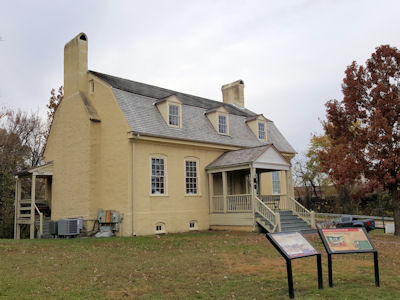
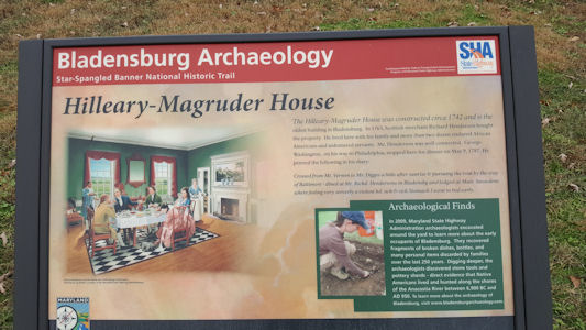
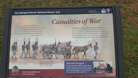
Bladensburg was an active tobacco shipping port. The Hilleary-Magruder House was built in 1742 and was one of many houses where wounded
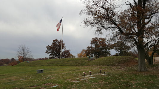
British and American soldiers were treated. Back along Bladensburg Road ... to Fort Lincoln Cemetery. In there I
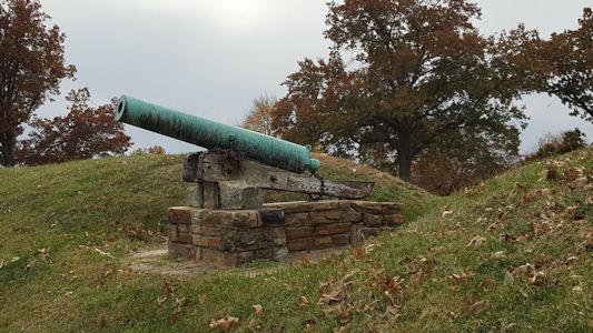
checked out the remains of Fort Lincoln - a Civil War earthwork constructed in 1861 for the defense of Washington. Nearby on the corner
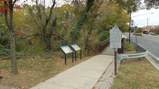
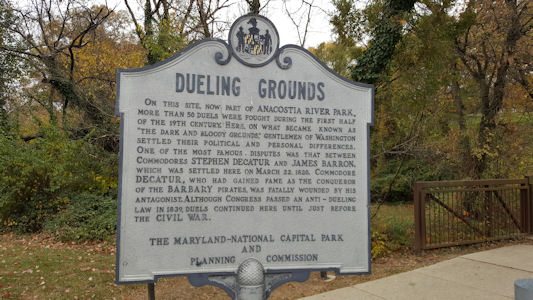
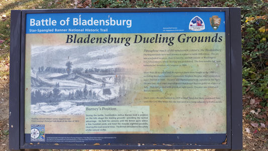
of the cemetery, across the side street from IHOP, I found the signs for the Old Dueling Grounds. This was a secluded location outside
of Washington where more than 26 recorded and 50 reported duels were fought.
Market Masters House far ...
|
... close, ...
|
... and sign
|
Hilleary-Magruder House
|
Sign 1
|
Sign 2 ...
|
... with trail logo
|
Fort Lincoln earthworks
|
Cannon detail
|
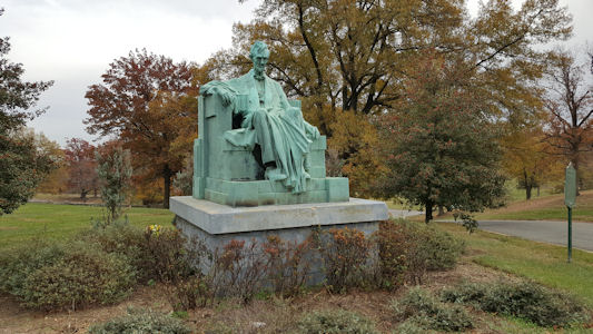
Famous Lincoln statue
|
The Dueling Grounds
|
MD signage ...
|
... and NPS signage
|
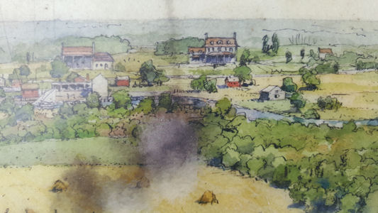
Bladensburg in the day
|
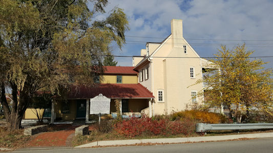
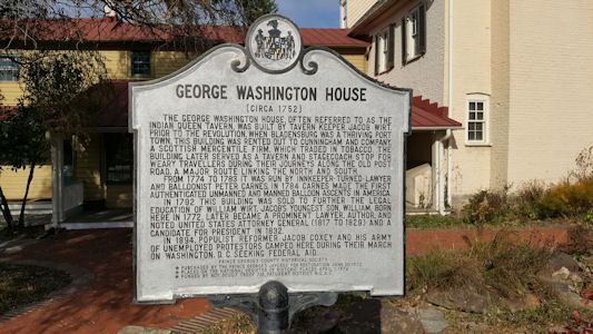
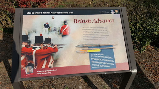
11/15/2016 ... stopped on the way for an SSB NHT [MD] site in Bladensburg – George Washington House a.k.a. Indian Queen
Tavern, which represents the last remnant of a social and commercial complex established in the 1760s by Jacob Wirt.
George Washington House
|
MD signage
|
NPS signage
|
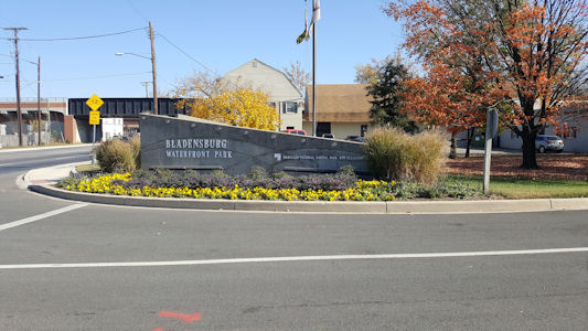
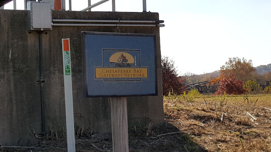
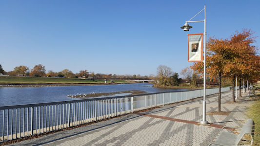
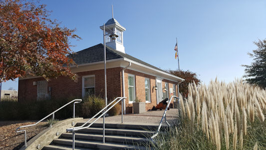
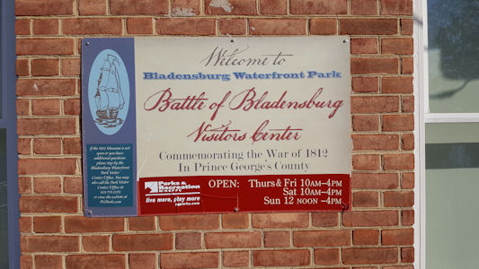
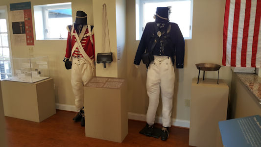
11/17/2016 ... then went to the Bladensburg Waterfront Park that was closed Monday. This site is also in the
Chesapeake Bay Gateways and Watertrails Network. The river area was very pleasant on a super nice day. I had to call for someone to
open the VC museum just for me, but they did so quickly. There were some very nice displays on the history of the War of 1812 and
particularly the Battle of Bladensburg, and I got some good info on the SSB NHT [MD] before heading back to work.
Waterfront Park
|
In the Chesapeake Network
|
Another view of the Anacostia
|
The VC ...
|
... and sign
|
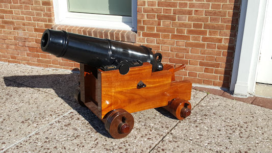
Nice little cannon
|
One of the VC displays
|
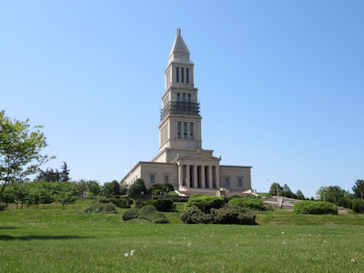
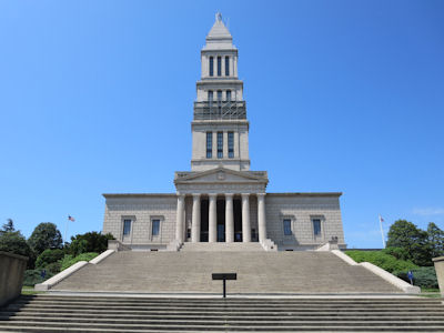
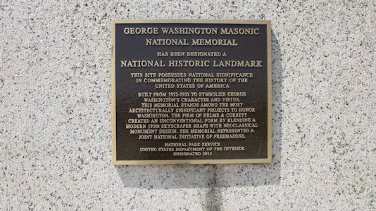
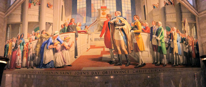
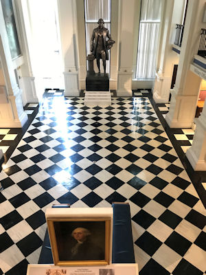
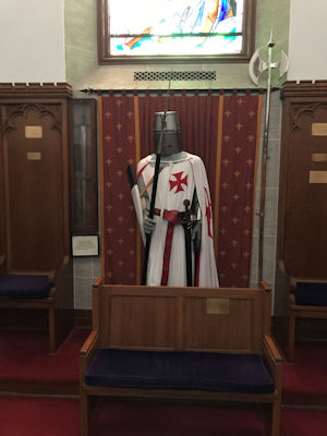
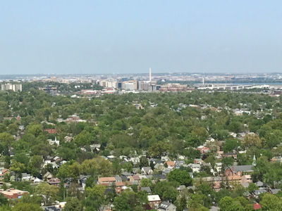
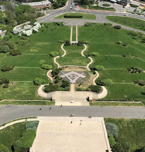
4/20/2017 ... then drove into Alexandria to the George Washington Masonic Temple National Memorial NHL
[on the Star-Spangled Banner National Historic Trail in VA]. The 333-foot Masonic building is fashioned after the ancient Lighthouse
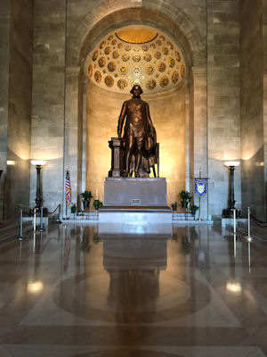
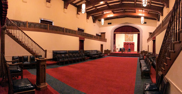
of Alexandria, dedicated in 1932 to the memory of the first President of the U.S. Took a very nice one hour tour, visiting
different museum rooms on GW and the Freemasons, concluding outside at the top of the tower with great views on a gorgeous afternoon.
View from the road ...
|
... and a little closer
|
The NHL plaque
|
The main hall with GW
|
Freemason meeting hall
|
GW's Freemason ceremony
|
GW in the museum
|
Knight Templar
|
View of DC from the top
|
The display out front
|
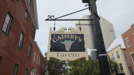
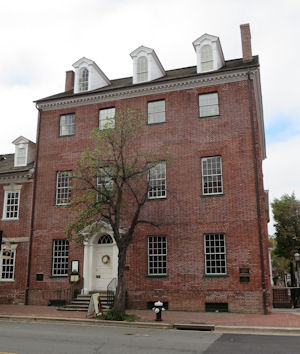
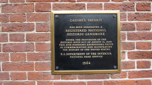
9/18/2017 ... drove down to Alexandria. McDs lunch, then parked in a garage in Old Town. Spent over an
hour walking around the quaint part of town with brick streets and sidewalks on an overcast and muggy day. The goal was a bunch
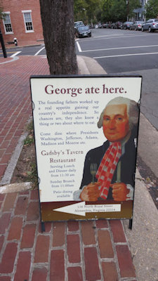
of local NHLs: Gadsby's Tavern Built around 1785, the tavern was a central part of the social, economic, political, and educational
life of the city of Alexandria, with guests including 5 Presidents and the Marquis de La Fayette. [on the Star-Spangled Banner National Historic Trail in VA]
The sign for ...
|
... the Tavern
|
NHL plaque
|
I didn't ...
|
9/25/2021
Mason Neck State Park Continuing more north in typical DC traffic
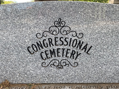
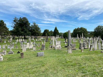
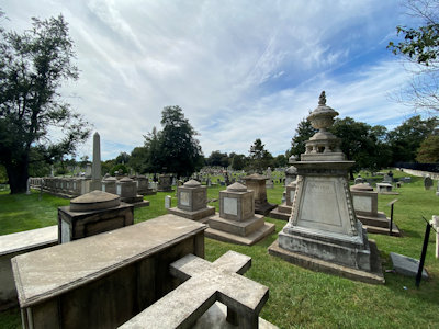
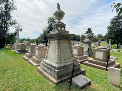
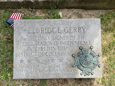
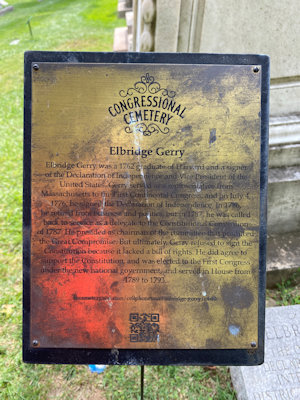
I stopped at Congressional Cemetery. Although I had been here before as an NHL, this stop was to see the grave of Signer Elbridge Gerry, which I quickly
found. [The Cemetery is on the Star-Spangled Banner NHT in DC]
Carved logo
|
NHL plaque (almost)
|
A nice view of the cemetery
|
The Gerry monument
|
A closer look ...
|
... and a marker
|
Some Gerry info
|
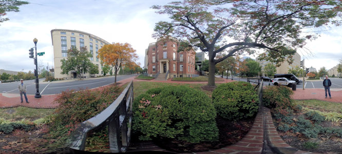
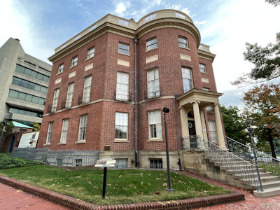
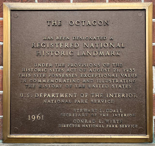
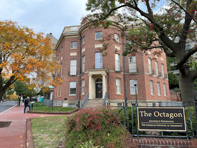
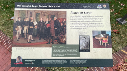
10/16/2022 Octagon House NHL. Designed in 1798 by the architect of the U.S. Capitol for Colonel John Tayloe. After the
British destroyed the White House during the War of 1812, the house served as the temporary residence of James Madison, President of the United
States, for a period of six months. Also on the Star-Spangled Banner (SSB) NHT. This was a revisit for us, but we took some photos, the building
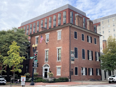
being minus a large banner that was there in 2008 ... Decatur House NHL. A Federal Style house designed by Benjamin Henry Latrobe for naval hero
Stephen Decatur. During 1827-1833 was home to successive Secretaries of State Henry Clay, Martin Van Buren, and Judah P. Benjamin. Also on the SSB NHT.
A cool 360 of ...
|
Octagon House
|
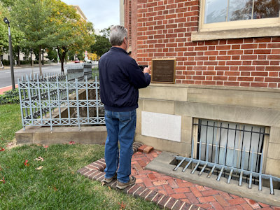
Ken photoing ...
|
... the NHL plaque
|
Ken reading ...
|
Interpretive info ...
|
... including the SSB NHT
|
Decatur House
|
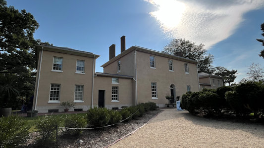
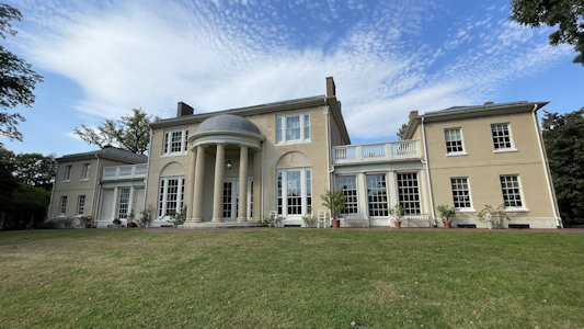
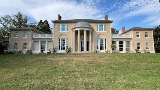
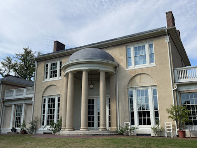
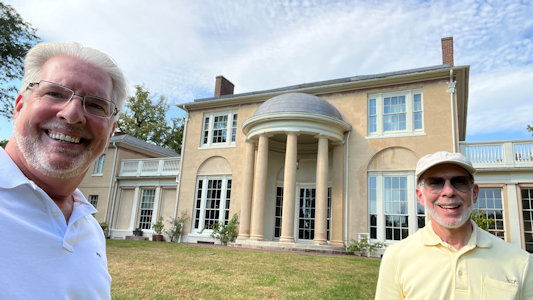
10/13/2024 Tudor Place NHL. This is a Federal-style mansion that was originally the home of Thomas Peter and his wife,
Martha Parke Custis Peter, a granddaughter of Martha Washington. This place is also on the Star-Spangled Banner NHT, having been used as a
refuge by Dr. William Thornton, designer of the U.S. Capitol and Tudor Place, during the 1814 burning of Washington.
Outside, signage about ...
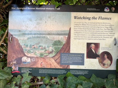
|
... the NHT, ...
|
... and Ken photos ...
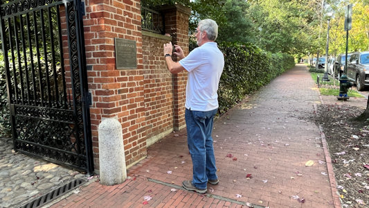
|
... the NHL plaque
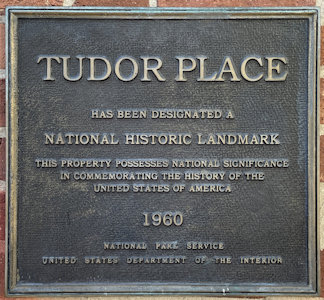
|
The back of the mansion ...
|
... and the front
|
A view straight on
|
A little more front detail ...
|
... and with Ken and me
|
Trail of Tears National Historic Trail (Alabama, Arkansas, Georgia, Illinois, Kentucky, Missouri, North Carolina, Oklahoma, Tennessee)
5/18/2002 Pea Ridge National Military Park
5/19/2002 Fort Smith National Historic Site From there into Oklahoma
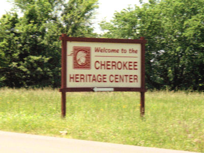
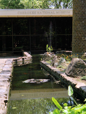
and up to Tahlequah to the Cherokee Heritage Center (stopping for picnic lunch on the way). First, saw a very nice
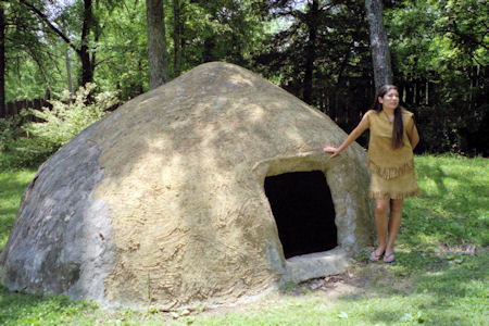
exhibit on the Trail of Tears [OK](this is the official terminus). Next a guided tour of a Cherokee village by native
people, then a walk around a bit of a rural town of later years.
The Heritage Center sign ...
|
... and museum
|
A native dwelling ...
|
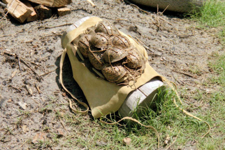
... and ceremonial art work
|
10/15/2017 Muscle Shoals National Heritage Area
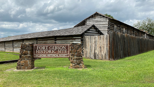
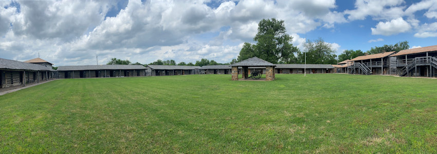
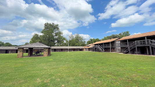
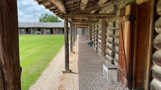
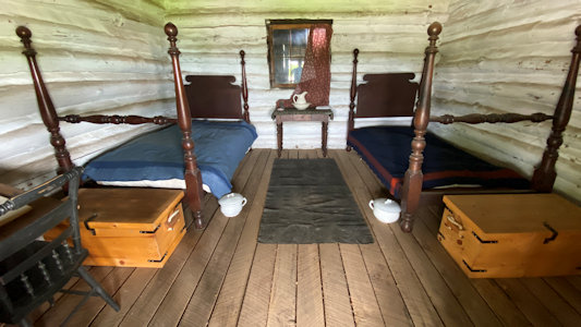
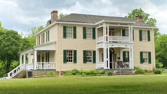
5/27/2021 Fort Gibson NHL (Fort Gibson). This is a military site which guarded the American frontier in Indian
Territory from 1824 to 1888, farther west than any other military post in the U.S. It is also one of the terminating points on the
Trail of Tears NHT [OK]. We got a nice short history of the fort from the guy there, then wandered around seeing some of the reproduction
officers’ quarters, etc. and taking silly photos in the stocks. Murrell Home NHL (Park Hill). Built in 1845 it is one of the few buildings
to survive in Cherokee lands from the antebellum period between the Trail of Tears (NHT) relocation of the Cherokee people and the
Civil War. The last tour was done for the day here, but it still seemed open, it was a fee site and there were mask rules signs, so
we elected to just stay back and take photos.
The Fort park sign
|
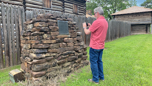
Ken photoing ...
|
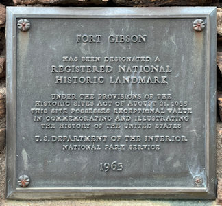
... the NHL plaque
|
A nice panorama of the inside
|
Some of the buildings
|
Classic fort shot
|
One of the reconstructed interiors
|
Ken by the cannon ...
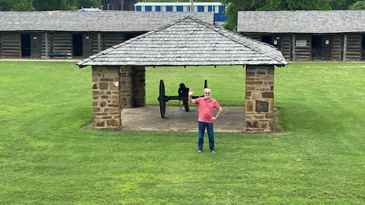
|
... and me by some quarters
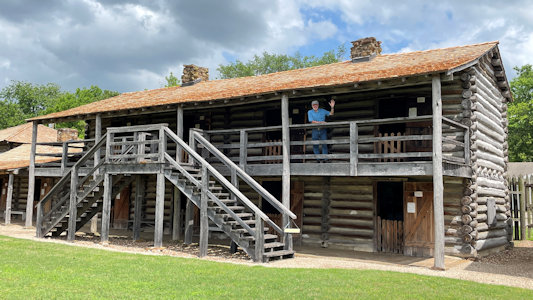
|
Murrell interpretive signage
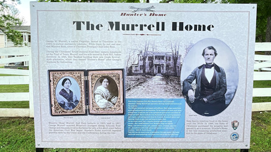
|
The house from a distance ...
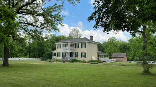
|
... and closer
|
A long view of ...
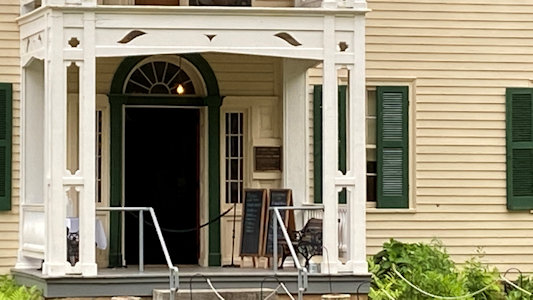
|
... the NHL plaque
|
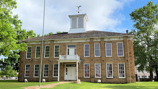
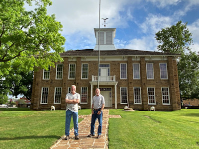
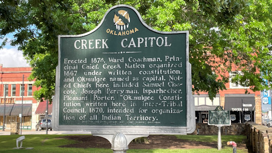
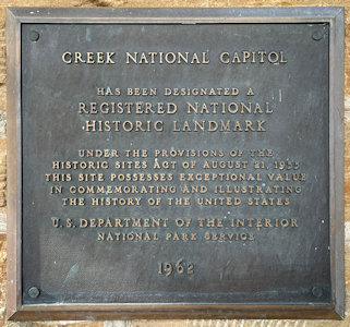
5/28/2021 ... and immediately off on a detour to Okmulgee and the Creek National Capitol NHL. This was the capitol
of the Muscogee (Creek) Nation from 1878 until 1907, when Oklahoma became a state. The weather is really nice - blue sky mixed with white
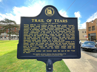
clouds, breezy and cool. We checked out the nice town square with the Capitol building, noting that this is also a terminus of the Trail of Tears NHT [OK].
Signage for the ToT
|
The Capitol out front ...
|
... and with Ken and me
|
More interpretive signage
|
Ken photoing ...
|
... the NHL plaque
|
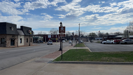
3/27/2025 Further along in Farmington ... After planning the trip Ken noted that there was supposed to be some Trail of Tears NHT
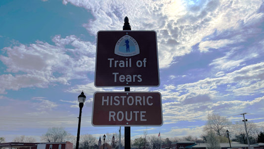
info nearby. We did note a ToT Auto Route sign, and we went to Long Park and photoed the Long House, noted by NPS as being on the ToT. “It was originally
built in 1833 by Phillip Graham Long and Isabella (Murphy) Long … In late 1837, the Cherokee Trail of Tears detachment took the route through Missouri
from Cape Girardeau, through St. Francois County, and on to Oklahoma”. On a nearby corner we also spotted a marker with some info about the ToT. Bonus!
A view of Farmington ...
|
... with ToT sign ...
|
... and emblem
|
Sign for ...
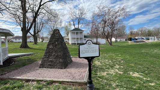
|
... the Long House
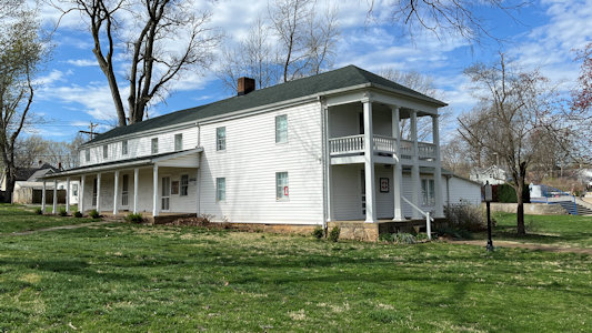
|
Across the street an historic marker ...
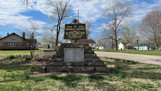
|
... with ToT info
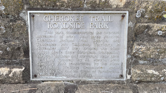
|
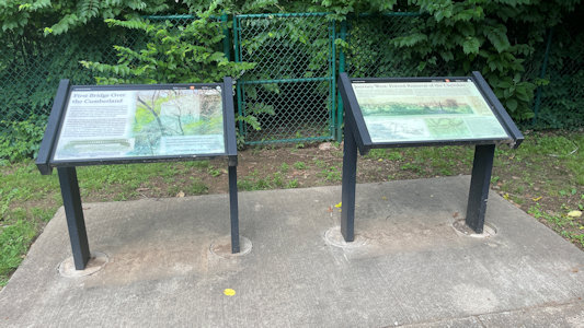
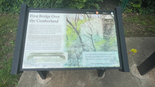
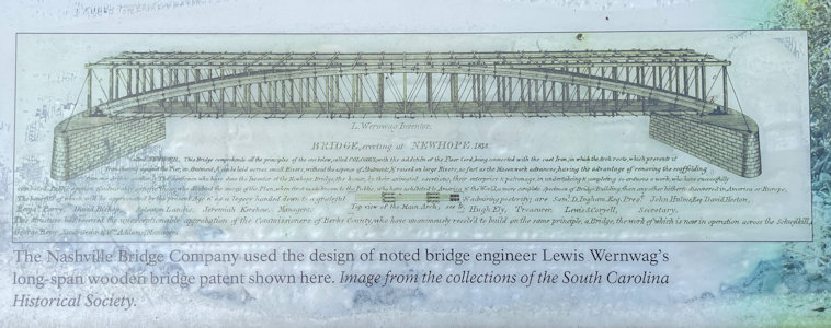
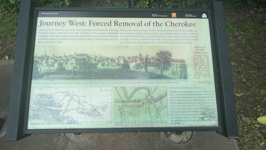
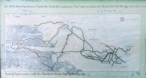
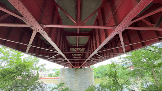
5/29/2025 Nashville Toll Bridge (NPS ToT). The Nashville Toll Bridge, built in 1823, was a significant landmark in Nashville,
and played a role in the Trail of Tears. Thousands of Cherokees, forced to relocate west, crossed this bridge over the Cumberland River as part of their
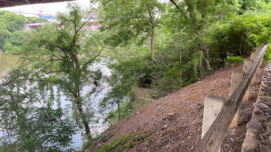
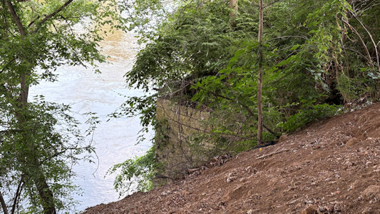
journey. While the bridge itself is no longer standing, a remnant of its stone abutment on the west bank of the river still exists. ... We headed on the
last stretch into Murfreesboro, noting we were on the ToT route.
Signage at the Toll Bridge
|
One sign about the bridge ...
|
... and its construction
|
Second sign about ...
|
... Trail of Tears ...
|
... with NPS emblem
|
Remnants of ...
|
... the original abutment
|
Underside of the modern bridge
|
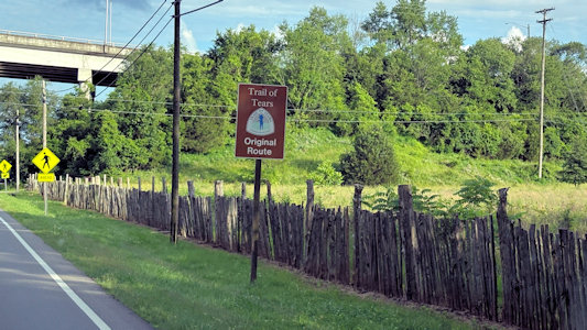
ToT auto route sign
|
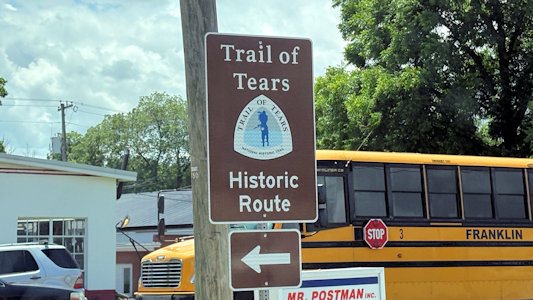
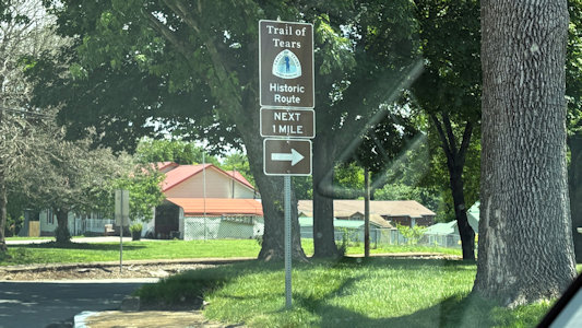
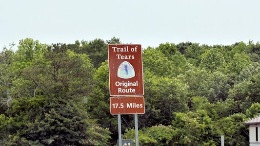
5/30/2025 As we left town [Winchester] we noted we were following the ToT NHT Auto Route for quite a bit. ... Once again, [after Sewanee]
we also noted that we were on the ToT NHT Auto Route. ...
Chickamauga and Chattanooga National Military Park/Moccasin Bend Archeological District NHL ...
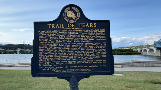
Ross’s Landing (NPS ToT). Site of Cherokee businessman John Ross’s ferry operation, and the location of departure for the first groups of Cherokees forcibly
removed in 1838 on the Trail of Tears. Ross served as the Principal Chief of the Cherokee Nation from 1828 – 1866. Ross's Landing became a designated departure
point for Indian deportation. In May 1837, approximately 350 Muscogee (Creek) Indians who had taken refuge in the Cherokee Nation were rounded up at gunpoint
and brought to Ross's Landing where they were put on boats and forced west. In 1837, two detachments of Cherokees left from Ross's Landing by boat under their
own accord. In 1838, the landing was a holding camp and launching point for the first three detachments of Cherokees forced from their homelands on the Trail
of Tears. In the first two of these detachments, over 1,300 Cherokees were crowded onto flatboats pulled by steamboats. In the third detachment, 1,072 people
crossed the Tennessee River on Ross's swing ferry and traveled overland to Waterloo, Alabama, where they boarded boats for Indian Territory.
Auto route signs ...
|
... Leaving Winchester
|
After leaving Sewanee ...
|
... we see more ...
|
... auto route signs
|
At Market Street Bridge, ToT info ...
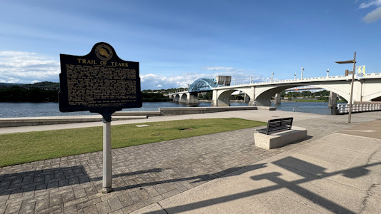
|
... at Ross's Landing
|
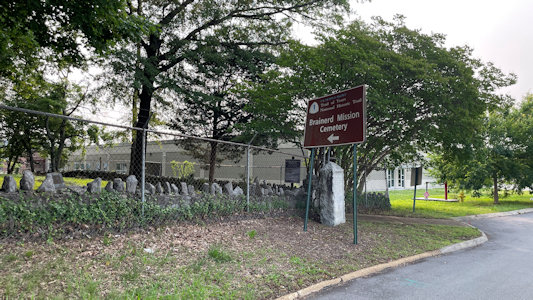
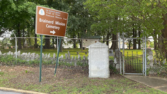
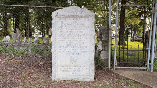
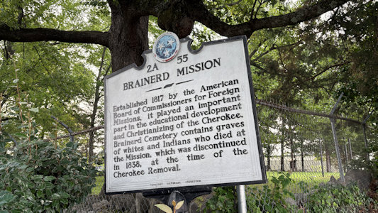
5/31/2025 Brainerd Mission Cemetery (NPS ToT and DAR). The American Board of Commissioners for Foreign Missions developed the area surrounding
the site originally as a mission within the Cherokee Nation. The property, buildings, and improvements were purchased from John McDonald, the grandfather of Cherokee
Chief John Ross. During removal, the missionaries sympathized with the Cherokee-most missionaries accompanied those that voluntarily removed before the 1838-1839
forced removal on the Trail of Tears, seeing removal as the way to save Indian culture. On August 18, 1838, the last church service was held at the Brainerd Mission
near the cemetery. ... New Echota NHL. Named in honor of their former chief town of Chota, based
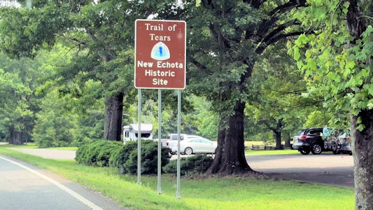
along the lower Little Tennessee River, this was the capital of the Cherokee Nation from 1825 until their forced removal in the late 1830s. Also
New Echota State Historic Site and NPS ToT NHT site; for the latter we saw route signs as
we approached the park. We walked along what had been the streets of the town, checking out the existing and reconstructed buildings of the large Cherokee Nation capital.
The Brainerd ...
|
... Mission Cemetery Area ...
|
... with sign (with ToT) ...
|
... monument ...
|
... and interpretive signage
|
ToT auto route ...
|
... approaching New Echota
|
Washington-Rochambeau National Historic Trail (Massachusetts, Rhode Island, Connecticut, New York, New Jersey,
Pennsylvania, Delaware, Maryland, Virginia, District of Columbia)
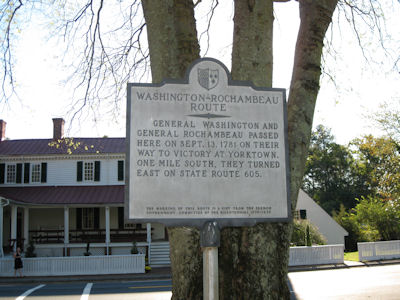
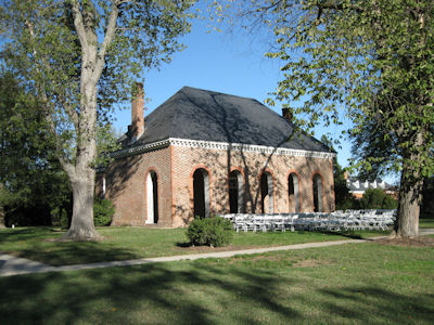
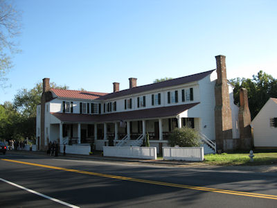
10/16/2010 First stop, Hanover County Courthouse (NHL), where Patrick Henry practiced law, and went over to
the 1700s Tavern across the street. As we got there people were just showing up for an outside wedding on a beautiful afternoon,
but we got our photo-op before things got going. These places were also on the Washington-Rochambeau Revolutionary Route [VA](they
stayed overnight in the courthouse).
The Route sign
|
Hanover County Courthouse
|
The Tavern
|
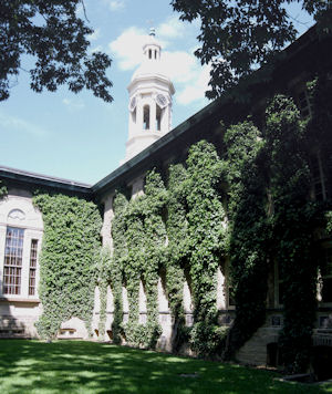
6/2/2012 The sights we saw on our hour and a half stroll were: ... Nassau Hall - This is the oldest building
at Princeton University; built in 1754, it was possessed by both British and American forces during the Revolution. and while
Princeton was the capital of the early United States of America, Nassau Hall hosted the entire American government. ... Morven -
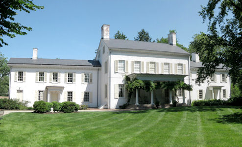
In 1701, Richard Stockton purchased the land from William Penn and built the house, which served as New Jersey's first Governor’s
Mansion from 1954 until 1981. ... On the way back from the last stop we noted a sign that indicated we were on the Washington-Rochambeau
Revolutionary Route [NJ; Nassau Hall and Morven being two sites on it].
Nassau Hall
|
Morven
|
A Route sign
|
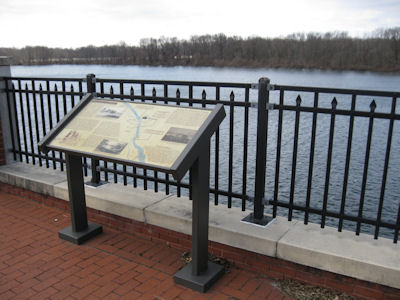
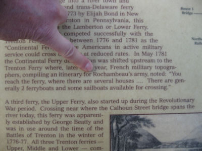
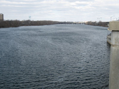
2/20/2013 From there we headed more towards the center of Trenton along the river stopping at a public promenade
along the river. There was lots of interpretive signage here on a number of subjects including the one we were interested in – a ferry
crossing noted for French General Rochambeau during the Revolution and making it part of the Washington-Rochambeau NHT in NJ.
Some Interpretive signage ...
|
With Ken pointing out the Route info
|
A look up the river
|
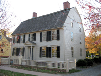
10/25/2013 Joseph Webb House – The Georgian-style house that was the site of a military conference with
General George Washington and the French commander Rochambeau during the Revolutionary War [Washington-Rochambeau NHT, CT].
Joseph Webb House
|
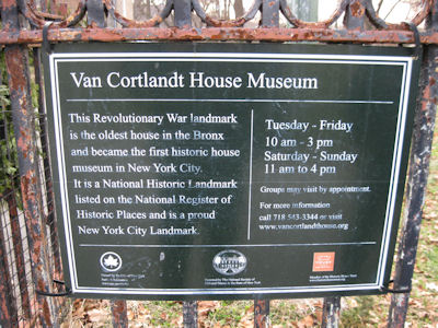
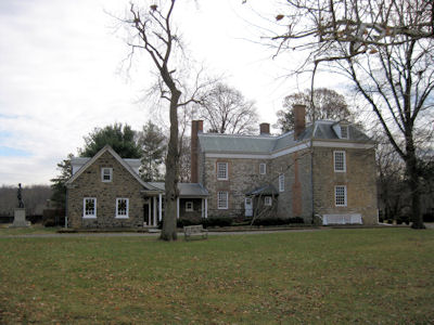
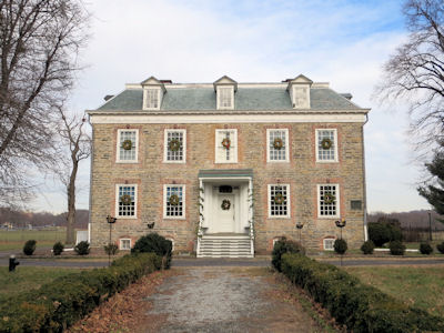
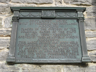
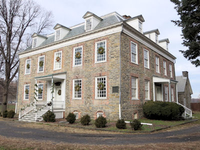
12/28/2013 Van Cortlandt House NHL - The 1748 Georgian-style home of Frederick Van Cortlandt, used during
the Revolutionary War by Rochambeau, Lafayette, and Washington and the oldest building in The Bronx. We walked around the house,
taking note of the brick “enframements” that surrounded the opening of the otherwise stone house. This site is on the
Washington-Rochambeau Revolutionary Route NHT [NY], an added bonus for us!
The House sign
|
A view from the side ...
|
... and main entrance
|
Some historical information
|
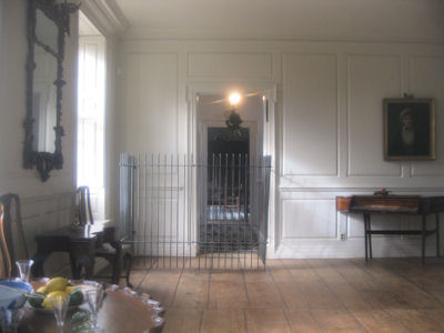
Peaking through the window
|
A nice 3-quarter view
|
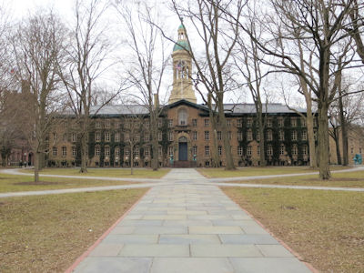
3/14/2014 From there a half block up to the University for ... Nassau Hall – This is the oldest building at Princeton
University; built in 1754, it was possessed by both British and American forces during the Revolution and while Princeton was the capital
of the early United States of America, Nassau Hall hosted the entire American government. ... We moved the car a short way west and parked
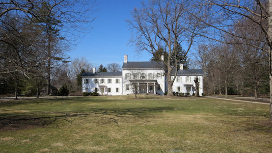
in the very nice university residential area right in front of a Wilson home, then took an enjoyable loop hike to ... Morven – In 1701,
Richard Stockton purchased the land from William Penn and built the house, which served as New Jersey's first Governor’s Mansion from 1954
until 1981. Both Morven and Nassau Hall are on the Washington-Rochambeau Revolutionary Route (W3R)[NHT in NJ]. ... we headed over the Delaware into
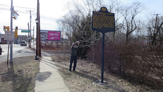
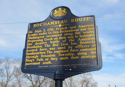
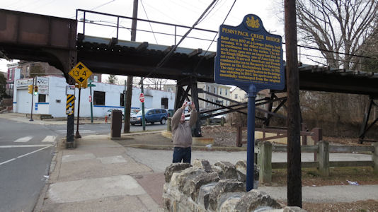
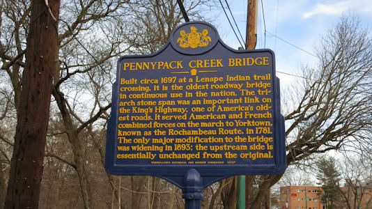
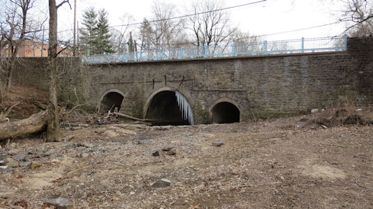
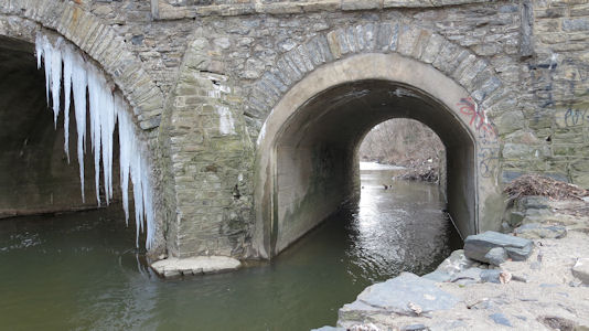
Phili, where we hit two W3R [PA] sites. The first was just a sign on the site of the Red Lion Inn which was used by officers as headquarters
when the French and American armies Rochambeau and Washington encamped along the nearby Poquessing Creek. The second was at a cool stone
bridge built around1697 at a Lenape Indian trail crossing. It is the oldest roadway bridge in continuous use in the nation, on the King's
Highway, and served American and French combined forces on the march to Yorktown.
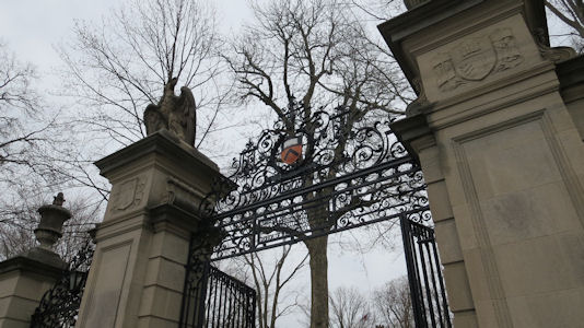
The gate to Princeton ...
|
... and Nassau Hall
|
The Morven sign ...
|
... and the mansion
|
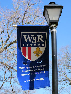
W3R banner
|
Me taking a photo of ...
|
... the Red Lion Inn site sign
|
W3R banner by the bridge
|
Another photo by me ...
|
... of another sign
|
The cool old bridge
|
Icicles hanging over the river
|
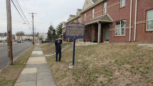
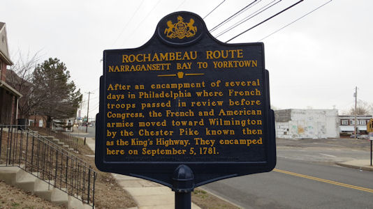
3/15/2014 Moving on to Chester we found another W3R site, or at least a sign in front of some run-down housing.
This was another encampment site along the King’s Highway.
Me taking a photo ...
|
... of the sign
|
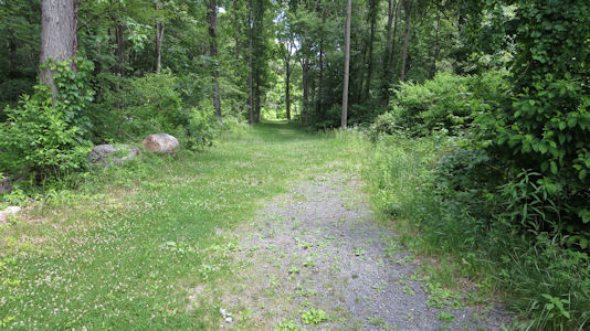
6/20/2014 ... continued east to a school in Bolton where we took a short hike on the Washington-Rochambeau Route NHT in CT],
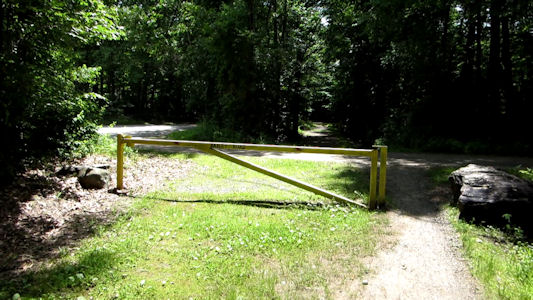
although I couldn’t find the signage I was looking for. We drove to the other side of the trail we were on, in a residential neighborhood
at the end of Bailey Road, but still no signage. Oh well – maybe I was wrong about the signs. Still, Bailey Road used to continue through
to the Bolton school area, and was part of the W3R.
Looking east from the school
|
The end of Bailey road
|
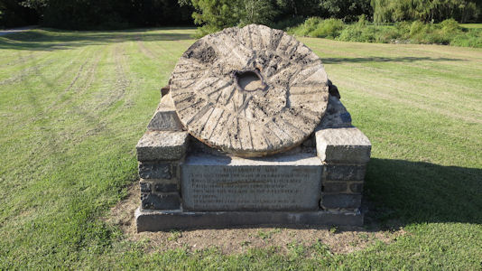
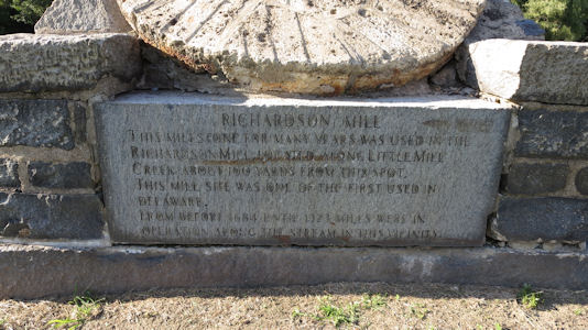
9/20/2014 Star-Spangled Banner NHT In Wilmington we stopped at a park with a millstone and plaque for Richardson
Mill (now gone) on the W3R [NHT in DE]. French soldiers (Hussars of Lauzun's Legion) camped here near the mill and creek.
A stone from Richardson Mill
|
Some historical info
|
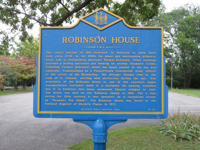
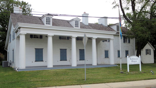
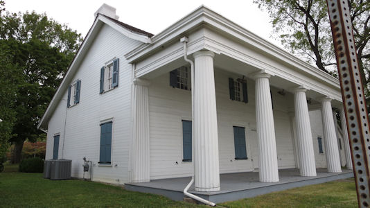
9/21/2014 Drove a little way for another W3R [NHT in DE] site, the Robinson House. The house was constructed about 1723 and in colonial times was a major rest stop on
the main route between Philadelphia and Wilmington; many key figures of the Revolution stopped for food or stayed overnight here, including George Washington.
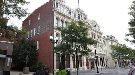
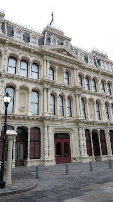
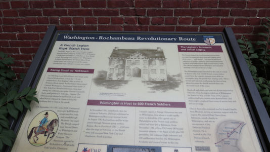
Continuing into downtown we hit the last W3R site at the Opera House, which had some nice informative signage. In 1782 the Wilmington Academy stood here and
housed many of the 550 troops in Lauzun's Legion.
The sign for ...
|
Robinson House
|
A closer look
|
Wilmington Opera House
|
Front detail
|
Informative signage ...
|
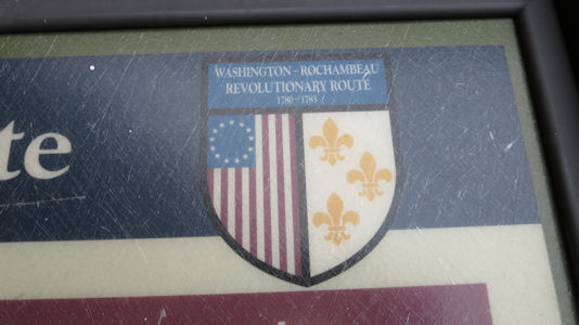
... about the W3R!
|
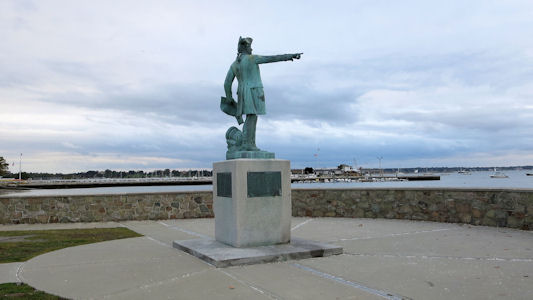
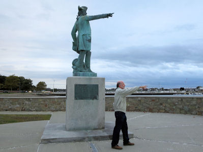
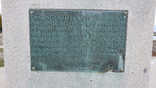
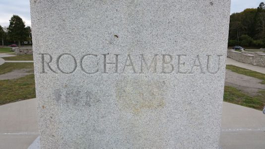
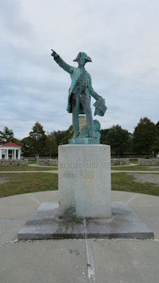
10/13/2014 ... we drove a short way for a quick stop at a monument on the harbor for Rochambeau on the
Washington-Rochambeau Revolutionary Route (W3R)[NHT in RI], effectively the start. We also had nice views of the harbor with some
sailboats still out as the sun set.
We're going that-a-way
|
Me and Jean
|
Informative signage ...
|
... and a simple memorial
|
Another view
|
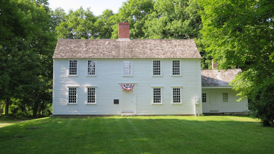
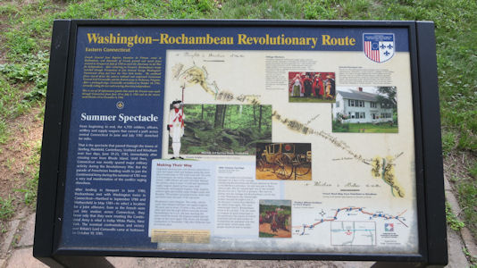
7/3/2015 Heading southwest from here we first went to Scotland for the Samuel Huntington Birthplace NHL. This was the birthplace and boyhood home of the
statesman who served as a delegate to the Continental Congress, where he signed the Declaration of Independence, and as Governor of Connecticut. Although this
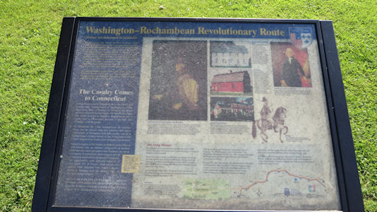
was just a photo-op, there was some good signage for the Washington Rochambeau Revolutionary Route [NHT in CT], which the house is on. A little further west we took a
stretch of the W3R along Scotland Road which is notably unchanged from when Rochambeau passed through. After multiple u-turns we also located a little sign
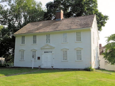
about the route. A bit more west brought us to Lebanon. ... We then moved the car a short way to the John
Trumbull Birthplace, the 1735 home of Governor Jonathan Trumbull and the birthplace of artist John Trumbull. This is also on the W3R.
Samuel Huntington Birthplace NHL
|
W3R info ...
|
... and the emblem
|
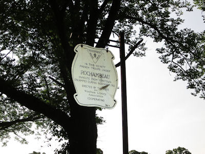
A W3R road sign
|
John Trumbull Birthplace NHL
|
W3R info here
|
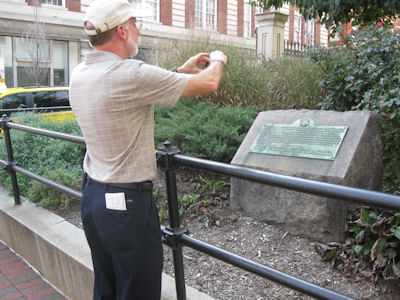
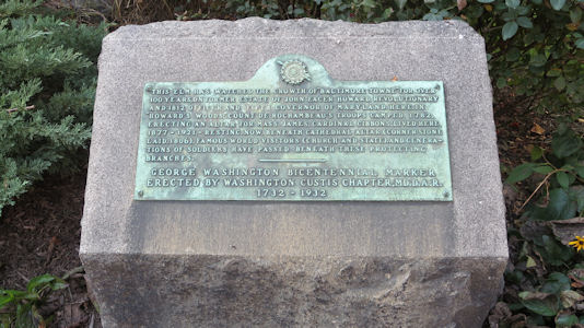
10/20/2016 Washington-Rochambeau NHT [MD] Right at where the Basilica is now, Rochambeau’s troops camped here in 1782 in “Howard’s Woods”.
Me taking a photo of ...
|
... the W3R marker
|
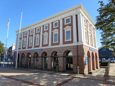
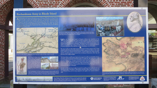
10/2/2017 Brick Market NHL Built in 1762 in the colonial Georgian style, as a traditional British style market house,
the building's first level was an open-air arcade that served as a marketplace for various goods. It is also on the Washington-Rochambeau NHT [RI].
The Brick Market
|
Historical info ...
|
... including NHT
|
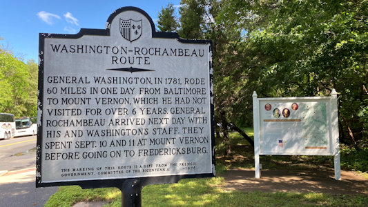
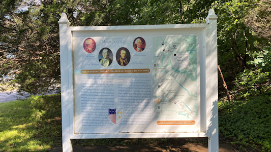
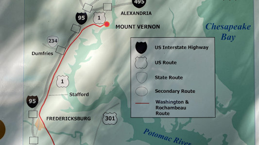
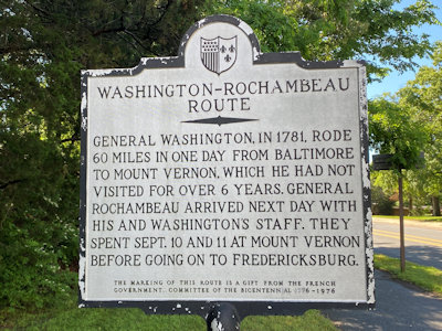
5/28/2022 On the way I spotted a sign and info for the Washington-Rochambeau Revolutionary Route (NHT in VA). Apparently, Mt. Vernon is on the W3R - who knew?
From Wikipedia “Washington and a small group of aides rode ahead and reached his estate at Mount Vernon on September 9, after a six-year absence; Rochambeau and his staff
arrived the following day”.
The little signage area
|
Detailed sign ...
|
... with Mount Vernon area
|
State sign
|
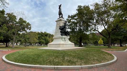
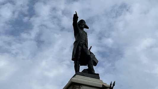
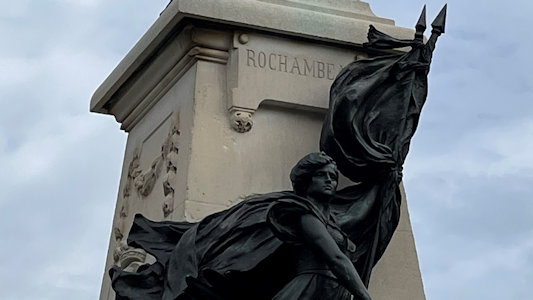
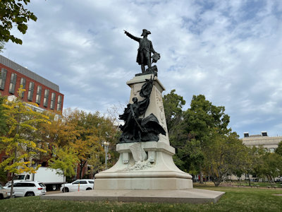
10/16/2022 Rochambeau Statue. The statue of the American Revolutionary War hero, General Comte de Rochambeau,
in Lafayette Park, erected in 1902, stands as the reaffirmation of Franco-American relations in the first years of the twentieth century.
It is on the W3R NHT, and within the Presidents Park (White House) NPS Unit.
Rochambeau from afar ...
|
... and closer up
|
Most of his name
|
View from another angle
|
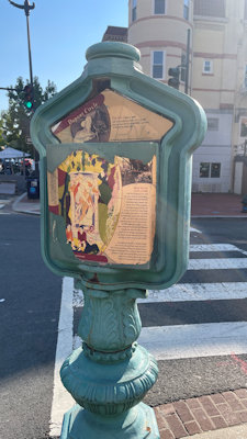
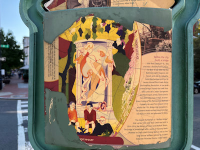
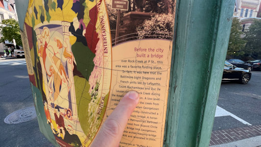
10/13/2024 W3R NHT - French Army Campsite. I originally just had a write-up describing the rough location of the camp,
but then found a little historical signage describing the crossing of Rock Creek by Rochambeau and Lafayette. The sign was on an old city fire
call box, one of many that it turns out we saw on our walk.
The fire call box ...
|
... with W3R info
|
I point out ...

|
... the Rochambeau reference
|


