Home
Travel
State Parks
Louisiana State Parks
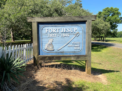
Fort Jesup State Historic Site
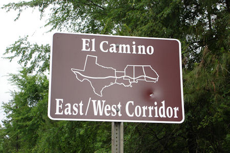
5/14/2008 Got on the El Camino Real de los Tejas [NHT in LA](now Route 6), a Spanish “highway” down to Mexico City.
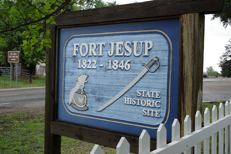
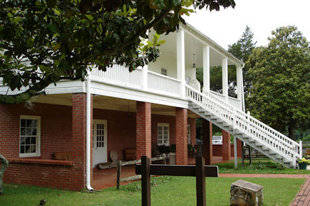
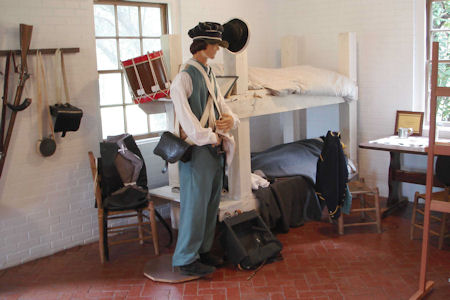
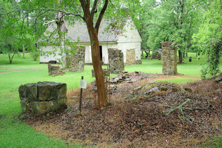
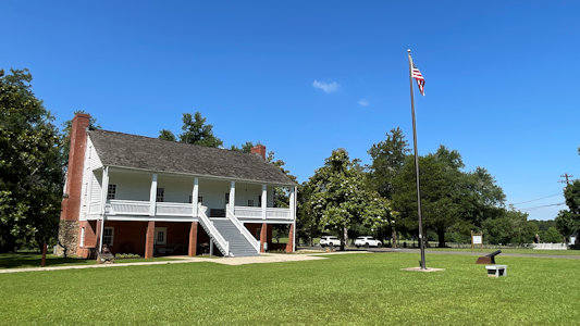
At Many, stopped at Fort Jesup SHS [NHL]. This was a protective fort along the highway; a reconstructed
officer’s quarters and the foundations of a few others, along with one original kitchen are here. Checked out the few exhibits,
then on the road.
A trail sign
|
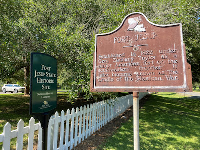
The park sign
|
The reconstructed officers' quarters and VC
|
Nice details
|
Part of the reconstruction
|
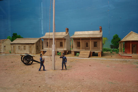
Great diorama
|
Old foundations
|
6/5/2022 Many - Fort Jesup NHL and SHS. With a garrison established by Colonel Zachary Taylor, it helped manage law
and order in the Neutral Ground at the western border of the U.S. This is on the El Camino Real de los Tejas NHT (in LA) and in the Cane River
NHA. I had been here before, and Ken didn’t need more than a look around with some photos, so we moved on.
The park sign ...
|
... and info sign
|
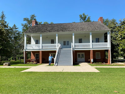
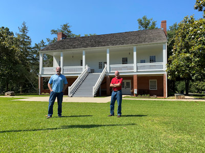
Reconstructed officer's quarters
|
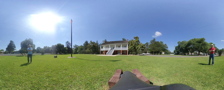
Nice 360 from the cannon
|
Ken out front ...
|
... and photoing ...
|
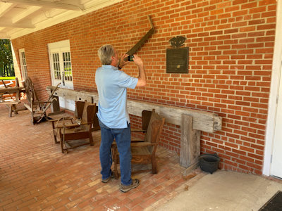
... the NHL plaque
|
Another cannon setup ...
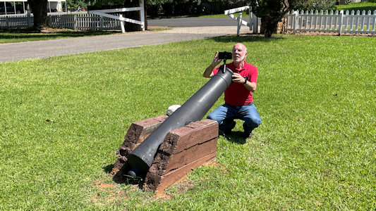
|
... to photo us
|
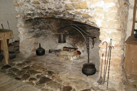
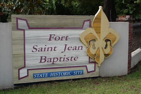
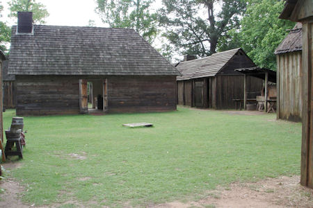
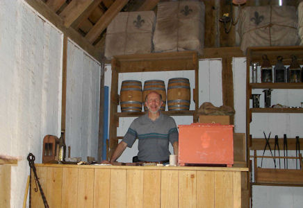
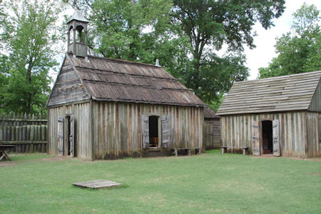
Fort St. Jean Baptiste State Historic Site
5/15/2008 ... then up to Natchitoches and Fort St. Jean Baptiste SHS, in the Cane River NHA.
This is an excellent reconstruction of the 1700s French fort. Walked around with a costumed guide, who gave me a
personal tour. They do live-in reenactments here (sleeping and eating).
The park sign
|
The inside of the fort
|
Nice details (and me)
|
More of the reconstructed buildings
|
Los Adaes State Historic Site
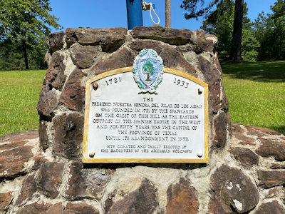
6/5/2022 Robeline - Los Adaes NHL and SHS, also El Camino and Cane River. This was the 1729 to 1770 New Spain capital
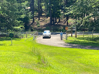
of Tejas, including Mission San Miguel de los Adaes, and Presidio, Nuestra Senora del Pilar de Los Adaes. There was a gate across the entrance,
which we had anticipated, and we took our photos from there. We then agreed I would take a few photos a short way from the gate at a couple of
signs, then Ken suggested I go back further to the VC to look for a plaque. Success! However, as I walked back, I noted that Ken had a buddy at
the gate - uh oh. It turned out it was a local docent who actually encouraged us to walk around, but we thanked him and moved on.
Ken photoing ...
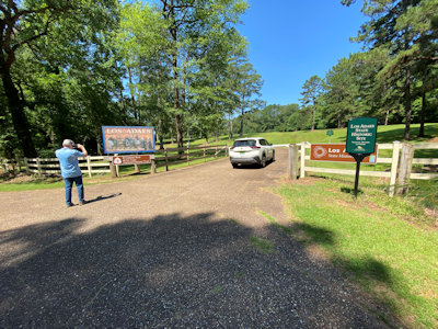
|
... the park sign ...
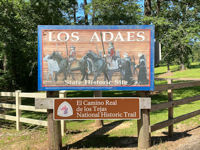
|
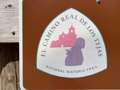
... and the NHT sign ...
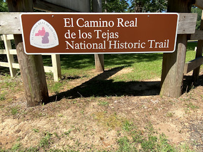
|
... with emblem
|
Memorial with flags ...
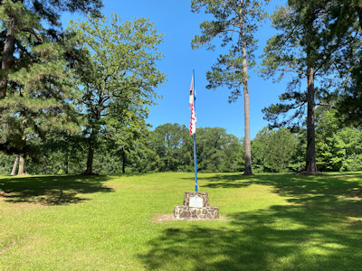
|
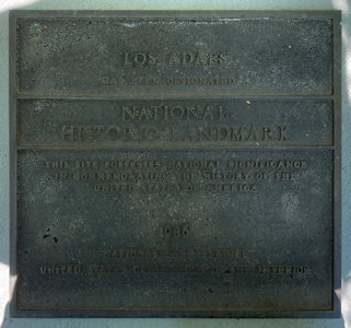
... and plaque
|
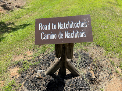
El Camino marker ...
|
... and a look back to Ken
|
Distant view of me photoing ...
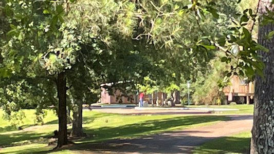
|
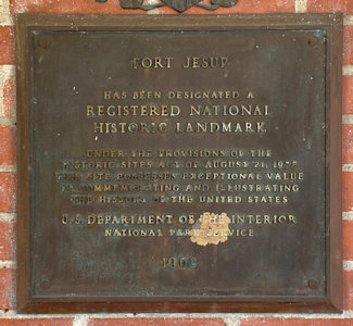
... the NHL plaque
|
Poverty Point State Historic Site
5/15/2008 Poverty Point National Monument
Rebel State Historic Site
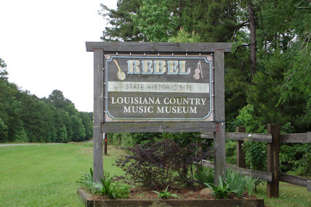
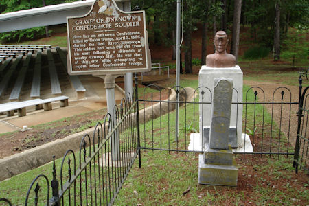
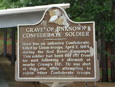
5/14/2008 Went to near Los Adeas, but didn’t know where it was, so backtracked a little to Rebel SHS in the Cane River
National Heritage Area. Other than the country music complex and museum, which I wasn’t interested in, nothing here but the grave
of an unknown Confederate soldier.
The park sign
|
The site ...
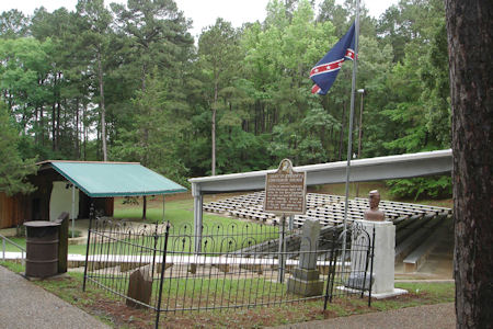
|
... the grave ...
|
... and signage
|