Home
Travel
USFS
Oregon United States Forest Service
Columbia River Gorge National Scenic Area
9/20/2024 ... wwe got off the highway and started our trek in the Columbia River Gorge National Scenic Area (USFS). We first stopped at
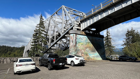
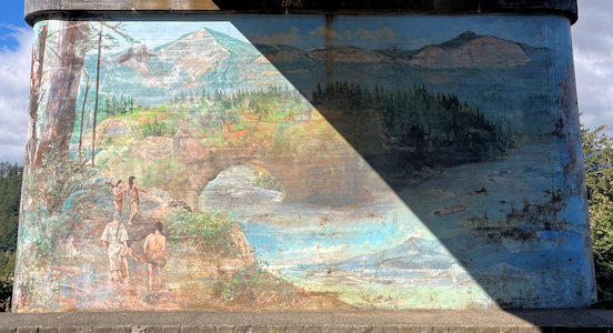
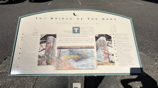
the base of the Bridge of the Gods in Cascade Locks for a mural on the south support pillar. “The creation of Larry Kangas, of Beaverton, Oregon, commissioned
by the city of Cascade Locks, and completed in November 2001, it’s a visual tour through the history of this beautiful area.” A sign here indicates that the
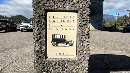
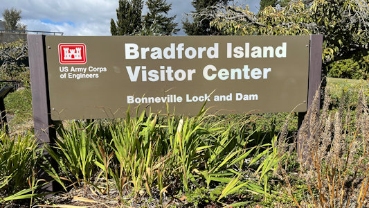
site is on the Historic Columbia River Highway, although not quite yet on the Scenic Byway/AAR. A little further along we drove onto Bradford Island for the
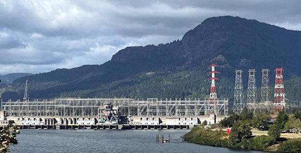
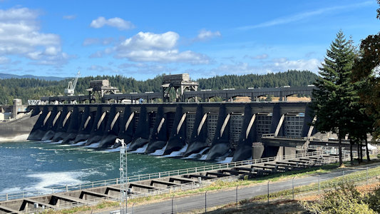
VC of the Bonneville Lock and Dam. This is part of the Bonneville Dam Historic District NHL, as well as on the Highway. The district includes the dam which
was the first major structure built with a "hydraulic drop" capable of developing more than 500,000 KW of electric power. We got some good views of the dam and
the power plant, then went into the VC where we got some more views from the top level, and then below the water level to view the fish running against the
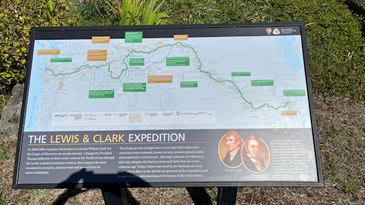
current along the fish ladder, allowing them to navigate around the dam. Also, the Lewis and Clark Expedition camped on Bradford Island on April 9, 1806, and
signage indicated it’s part of the L&C NHT. We continued west on the Interstate, then got off and navigated slightly east to the Historic Columbia River Highway
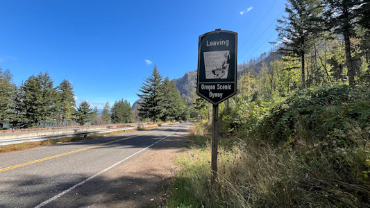
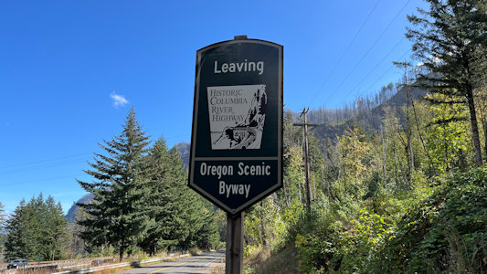
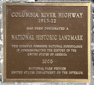
AAR NSB start/end point, then back west along the NSB. This is also the Columbia River Highway NHL. This 75-mile highway was built through the Columbia River
Gorge between 1913 and 1922 as the first planned scenic roadway in the U.S. Everything we see from here to the State Scenic Viewpoint are on the NSB and
in the Columbia River Gorge NSA. ...
Bridge of the Gods ...
|
... with a different kind of mural
|
Mural and area info
|
Yay - on the Highway
|
Bonneville Lock and Dam
|
Sign on the island
|
A surprise L&C site ...
|
... with the official emblem
|
A view of the dam ...
|
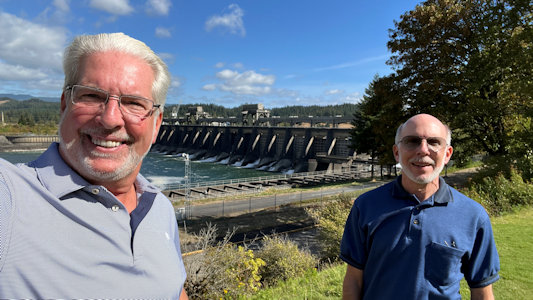
... and with Ken and me
|
The Byway sign at one end ...
|
... but we're going the other way
|
A view down the Byway ...
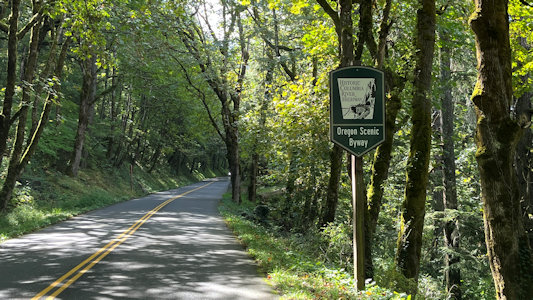
|
... and the sign
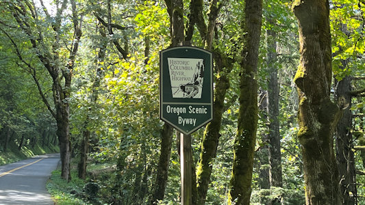
|
... The goal was to park at the Multnomah Falls area, but apparently that goal was shared by a gazillion of our fellow travelers. We were waved past the parking
area, it being full, and were told that we could park at the next falls down and walk back or try to get to the parking on the Interstate, a long drive.
After waiting to get cleared through a one-lane bridge, we found that at Waukesha Falls, that parking was full, with people in all sorts of non-standard
spots. We made one pass through, with no luck, then on the second pass Ken decided to try for a spot noted the first time, and maneuvered the car between
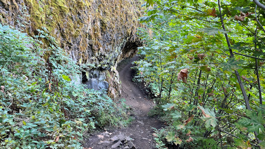
two trees. Jeez. There were nice picnic tables available, so we enjoyed our Subway before finally setting out for Multnomah. We took a narrow and rocky trail
up the mountain from the road, and 0.4 miles later arrived at Multnomah. This site is also in the NPS Ice Age Floods National Geological Trail. The two-step
falls are really impressive, and while we could have taken a strenuous trail up to the bridge looking over them, we were already running a lot behind schedule,
so we decided to move on. ...
Me at the falls sign ...
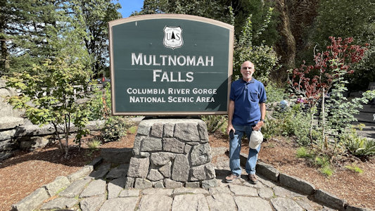
|
... and lots of info
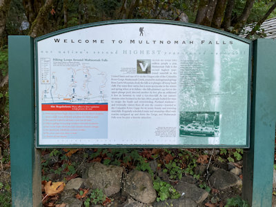
|
Beautiful views ...
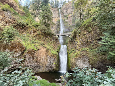
|
... of the falls ...
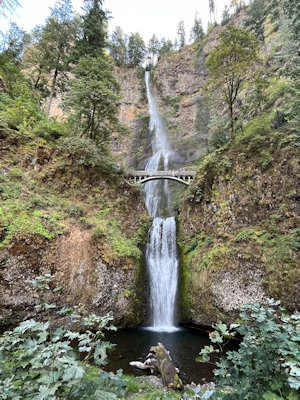
|
... and the bridge
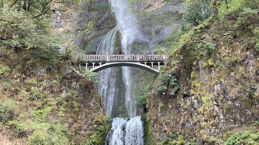
|
One more look
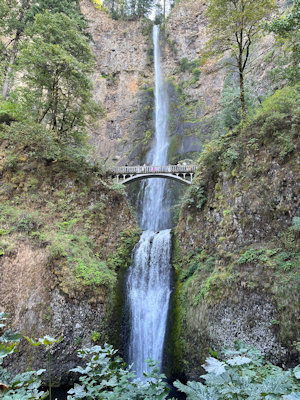
|
Fun trail to/from the car
|
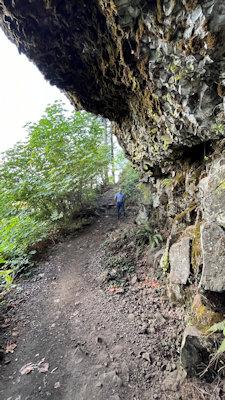
Can you see Ken?
|
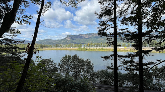
View of the river from the trail
|
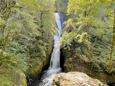
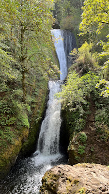
... Back along the trail, returning to the car, we drove east to Bridal Veil Falls, this also being part of the (Historic) Columbia River Highway NHL and NSB.
Plenty of easy parking here, and we took the steep switchback trail down to the base of the falls, these being the only falls below the road, between the
road and the Columbia. Very nice views of the smaller but closer falls, and back to the car. ...
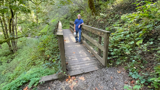
One the way to ...
|
...Bridal Veil Falls
|
A pretty sight
|
Ken and me ...
|
... and just Ken
|
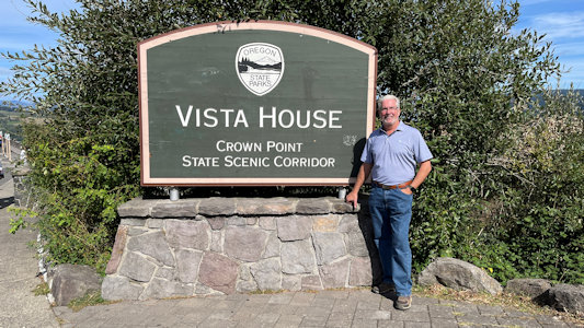
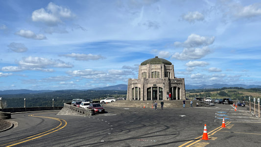
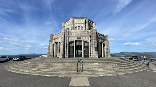
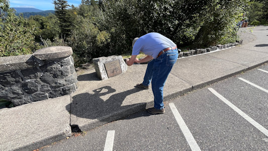
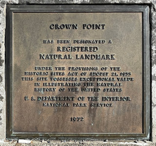
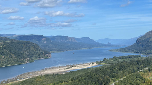
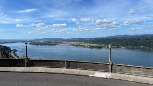
... More east on the NSB we stopped high over the river at Vista House in Crown Point State Scenic Corridor, an NNL and part of Ice Age Floods NGT. This is a
733 feet high basalt promontory on the Columbia River Gorge, the remains of a lava flow that filled the ancestral channel of the Columbia River. This spot
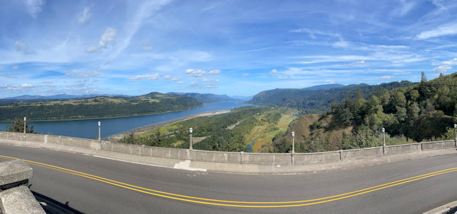
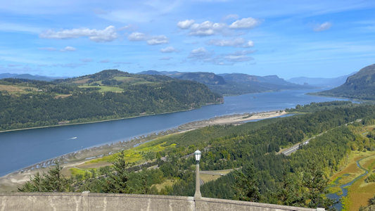
offers fantastic views of the Columbia in both directions, being able to see back east as far as the Bonneville Dam upstream. ...
Ken at the sign
|
Overlook area for Vista House ...
|
... and the building itself
|
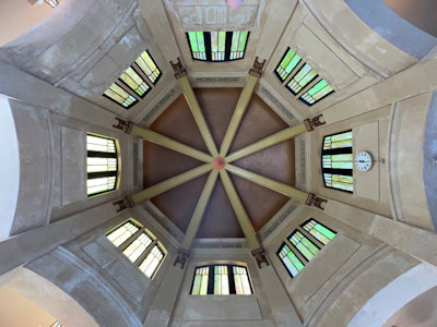
Up in the building dome
|
Ken photos ...
|
... the NNL plaque
|
A long look east ...
|
... and a little closer ...
|
... and closer on the river
|
Beautiful view west as well
|
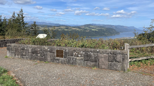
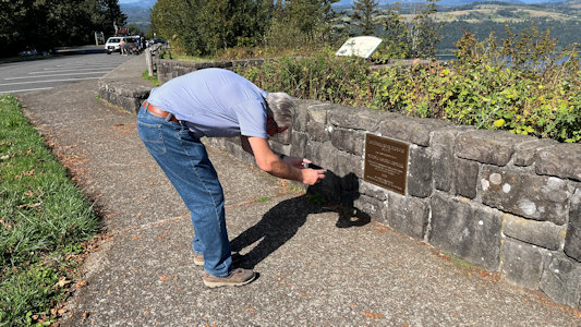
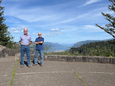
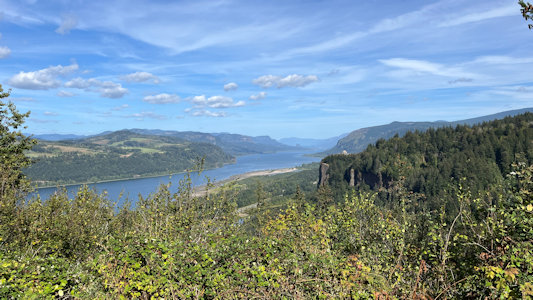
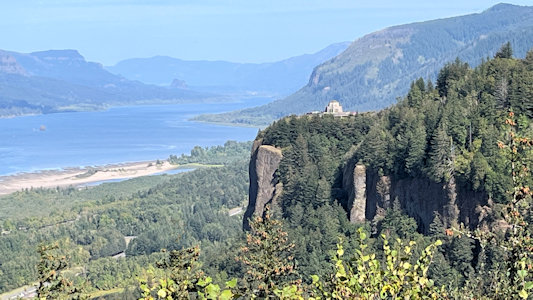
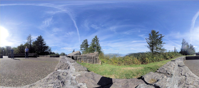
... A little more east we stopped at the Portland Women’s Forum State Scenic Viewpoint. One target here was the plaque for the Columbia River Highway NHL,
but as one might guess by the name we also got more great views of the river, here including the high bluff with Vista House.
The Viewpoint area
|
Ken photos ...
|
... the NHL plaque
|
Ken and me ..
|
... with a fantastic view
|
See Vista House?
|
A 360 with us and the tiny view
|