Home
Travel
NPS States
NPS Types
National Historic Trails (Non-Units) - California
California National Historic Trail (California, Colorado, Idaho, Kansas, Missouri, Nebraska, Nevada, Oregon, Utah, Wyoming)
9/24/2004 Oregon National Historic Trail
9/15/2005 City of Rocks National Reserve
5/25/2012 Oregon National Historic Trail
5/31/2013 Oregon National Historic Trail
6/1/2013 Oregon National Historic Trail
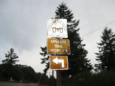
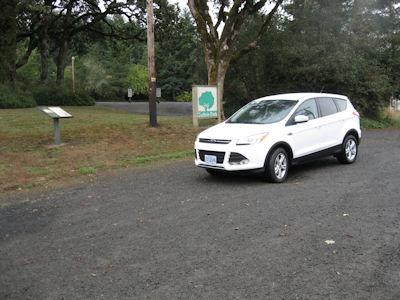
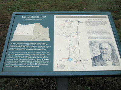
9/22/2013 ... then moved on to Guthrie Park in Dallas for a roadside kiosk on the Applegate part of the California NHT [OR].
The Trail sign
|
The little park ...
|
... with interpretive signage
|
5/24/2014 ... a half hour one-way detour to Leonard Rockshelter NHL ... We also lucked out in that
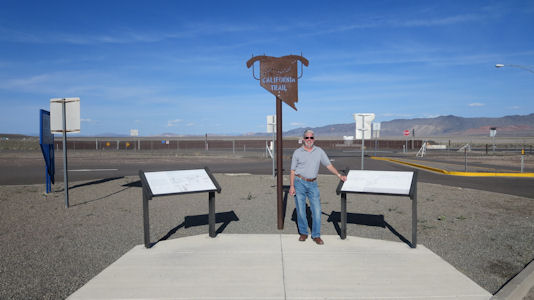
there was California NHT [NV] information here, since the trail crossed nearby, as well as a second route which crossed the road we
took here (Carson Route), part of the deadly Forty Mile Desert section of the trail.
Nice little CA Trail exhibit
|
A very faded map and trail info ...
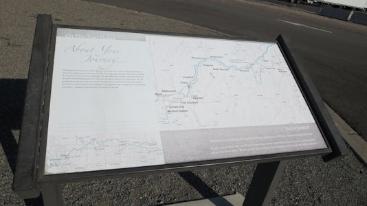
|
... with trail logo
|
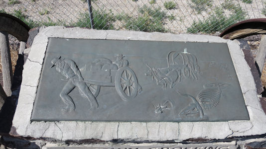
Crossing the Forty Mile Desert
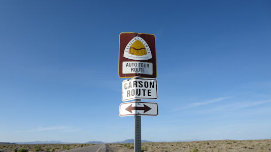
|
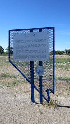
5/25/2014 On the way back from Fernley we spotted an info sign and small exhibit for Ragtown on the Carson Route of the
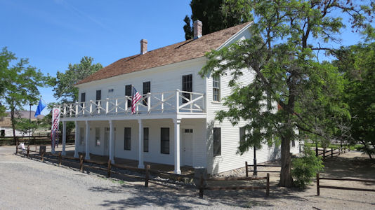
California NHT [NV]. ... to the Fort Churchill area. We first stopped at the Buckland’s PE Station in an old house that was built on the same spot
as the original cabin (also on the California NHT). After some time operating at that site the PE station stop had moved over to nearby Fort Churchill
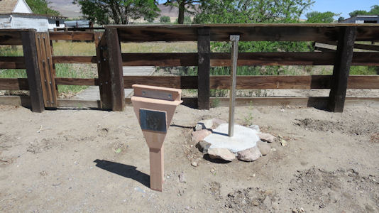
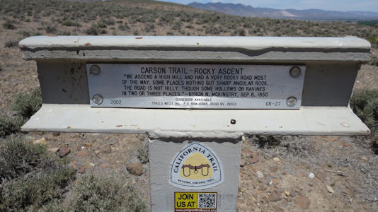
(NHL), where we went next. ... [Dayton] After parking on pavement as far as we could go, we walked on one of two dirt
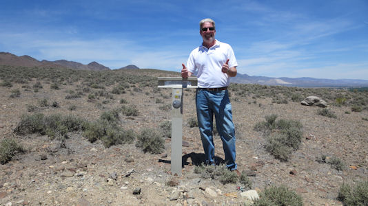
paths we could choose from looking for trail info. Not seeing it we crossed over to the other trail and headed back, when Ken spotted the
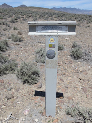
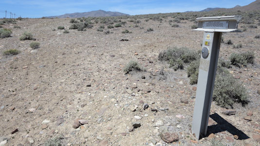
“T-bar” with official trail info - yay!
Ragtown exhibit on the Carson Route
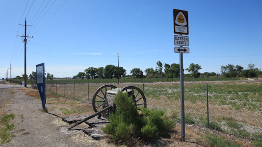
|
Ragtown info
|
Hard to believe people got through this
|
Buckland's PE and Emigrants Trails site
|
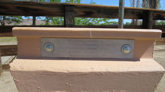
Details of the marker ...
|
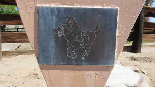
... and PE picture
|
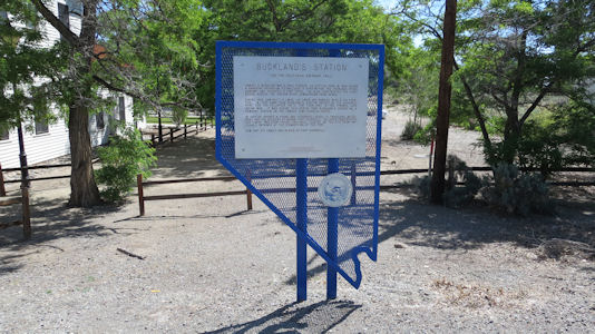
Buckland's informative signage
|
The old house on the trails
|
Dayton T-Bar
|
Details on the trail ...
|
... and the logo
|
Success!
|
Kinda sorta see the trail?
|
5/22/2015 Heading out of town we tried unsuccessfully to find where the California NHT crossed, then stopped
at a very cool LH stone bridge below, and next to, the modern road. As we pulled into the parking for the bridge, a few feet away
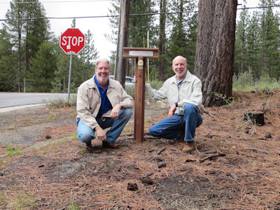
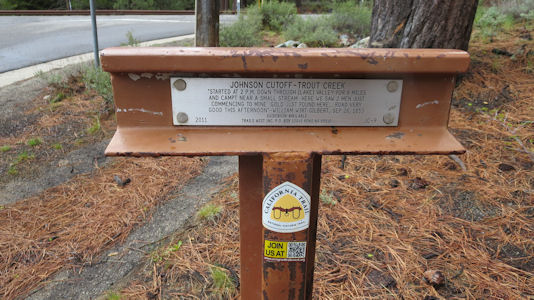
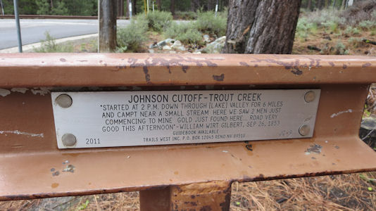
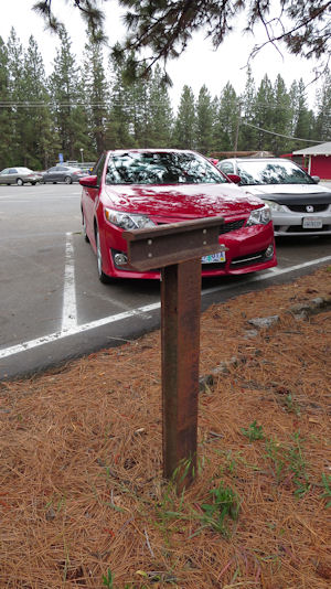
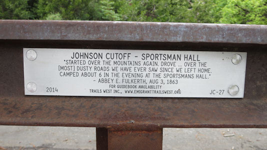
right in front of the car was - a T-bar for the California trail! ... Sportsman’s Hall PE Station. Once again, as we pulled into
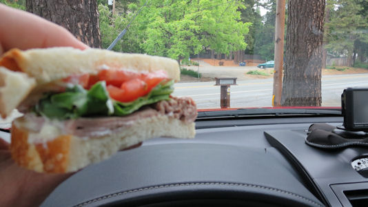
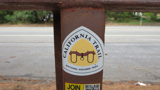
the parking spot where we would take our photos and eat our lunch, we saw a T-bar for the California NHT.
Ken and me by the T-bar ...
|
... and a close-up
|
The historical info ...
|
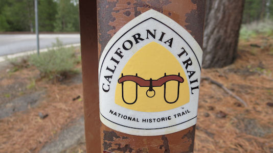
... and the emblem
|
Lunch on the trail!
|
The T-bar and our car
|
Historical info ...
|
... and the same emblem
|
5/31/2019 Pony Express National Historic Trail
6/1/2019 Oregon National Historic Trail
5/26/2021 Oregon National Historic Trail
9/22/2023 City of Rocks National Reserve
9/23/2023 Massacre Rocks State Park
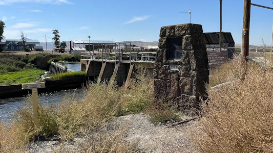
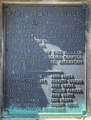
9/25/2025 DAR Stone Bridge. The Stone Bridge - On July Sixth 1846 fifteen pioneers who located the South Road from Fort
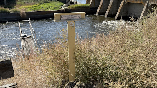
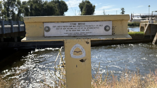
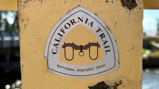
Hale to the Willamette Valley crossed Lost River on the ledge underlying this dam. Here there was also a California NHT T-bar. ... DAR Applegate
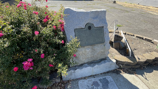
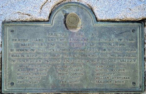
Trail Pioneers. In Honor of the Following Pioneers who in the Year 1846; blazed the First Trail Through the Wilderness of Southern Oregon and the
Rogue River Valley. The perilous last leg of the Oregon Trail down the Columbia River rapids took lives, including the sons of Jesse and Lindsay
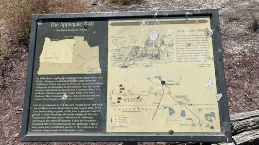
Applegate in 1843. The Applegate brothers and others vowed to look for an all-land route into Oregon from Fort Hall (in present-day Idaho) for future
settlers. This Applegate Trail is part of the California National Historic Trail. ... DAR Old Stage Road.
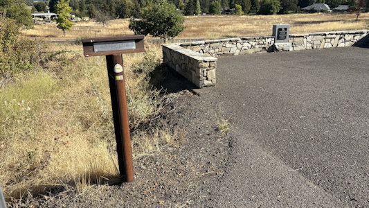
The Old Stage Road - Along This Road Passed the Early Day Travel of Oregon. The Old Stage Road was previously known as the Applegate Trail utilized by
pioneer emigrants as an alternate wagon route into southern Oregon in 1846 and continued to be utilized by emigrants through 1869. the marker called
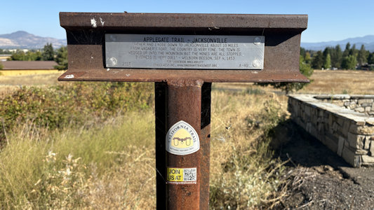
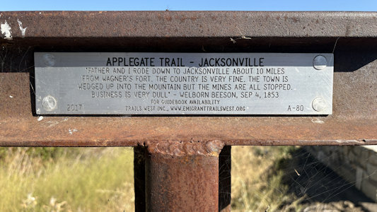
attention to early travel by stagecoach from Jacksonville to Rock Point near Gold Hill. The 13-mile road is the oldest in Jackson County. Another T-bar
here for the Applegate Trail on the California NHT. ... Wolf Creek Inn State Historic Site
The Stone Bridge DAR site ...
|
... and plaque
|
Right at the bridge ...
|
... the NHT T-bar ...
|
... with detail
|
Applegate Trail info
|
Applegate Trail Pioneers DAR site ...
|
... with plaque
|
Old Stage Road DAR site ...
|
... with T-bar ...
|
... details ...
|
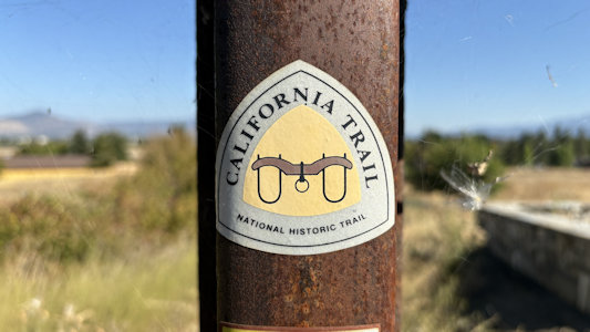
... and emblem
|