Home
Travel
NPS States
NPS Types
National Historic Trails (Non-Units) - Oregon
Oregon National Historic Trail (Idaho, Kansas, Missouri, Nebraska, Oregon, Wyoming)
9/5/1992 Scotts Bluff National Monument
5/21/1998 Fort Vancouver National Historic Site
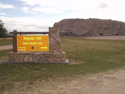
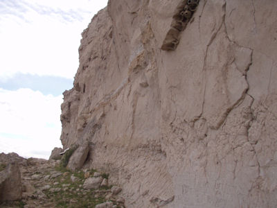
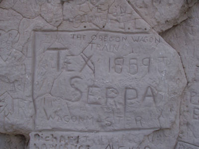
9/24/2004 Headed north then east to Guernsey and the Register Cliffs State Historic Site. These are cliffs
along the overland trails (Oregon, California, Mormon Pioneer, Pony Express [NHTs in WY]) with hundreds of names carved into the rock – very
interesting. Saw a Pony Express monument here. Fort Laramie National Historic Site ...
Chimney Rock National Historic Site
Scotts Bluff National Monument
The park sign
|
Register Cliffs ...
|
... and one of the many carvings
|
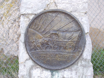
Oregon Trail medallion
|
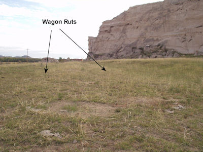
Wagon ruts (as noted)
|
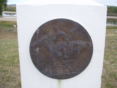
Pony Express medallion
|
9/15/2005 Hagerman Fossil Beds National Monument
5/27/2010 Whitman Mission National Historic Site
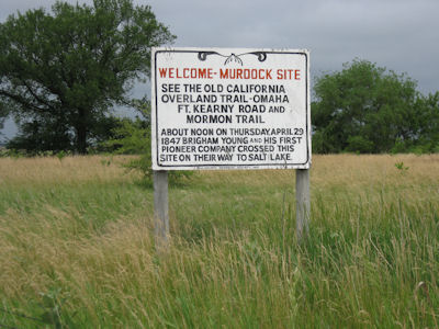
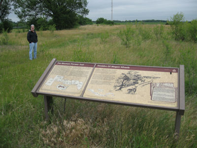
5/25/2012 Townsley-Murdock Immigrant Trail Site. This is an area of unplowed land that preserves the ruts (and items buried below
the surface) of the immigrants, including Mormons (on the Mormon Pioneer NHT [NE]). ... Signs for the overland trails auto routes. All
along this trip we will be at or near sites for the major historic trails – California NHT, Oregon NHT, Mormon Pioneer NHT,
Pony Express NHT [NE]. We now entered into Kearney. ... First stop, Fort Kearny [sic] State Historical Park. This historic fort was
an outpost of the US Army founded in 1848, the first located along the Oregon Trail [NE]. We did pick up some nice NHT books here,
and then walked around outside. There wasn’t a whole lot here, but we could go in the stockade built for livestock and a
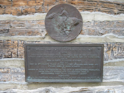
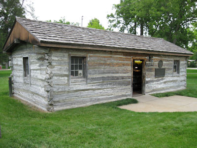
sod-construction blacksmith shop. ... Gothenburg - The PE station was an actual station (the Macchette station), relocated into
town in a park in order to preserve it. It is now a little museum where we got some information on the PE [NE]. ... Pony Express Station
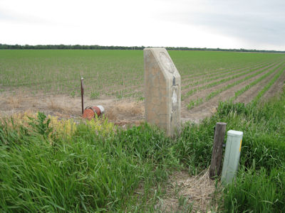
Monument - On the Gothenburg Steps, this was the original site of the Macchette station, visited earlier. ... in the Lincoln County
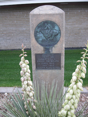
Museum; although it was closed, we climbed through the railing for photographs. [We also spotted markers for the Pony Express, Oregon
Trail and Mormon Trail.]
The site sign
|
Ken, signage and ruts
|
The NHT auto routes
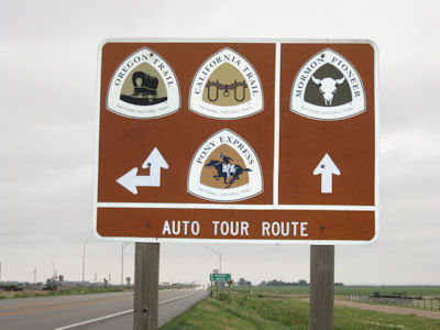
|
The Fort sign
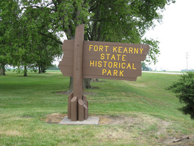
|
Trail blazes
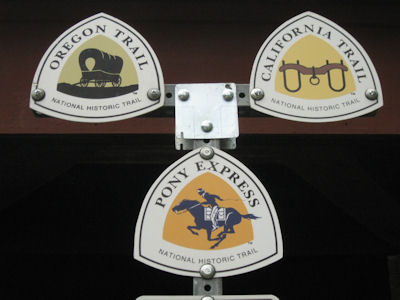
|
Nice sod-roof building
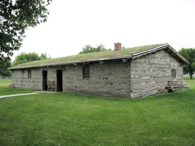
|
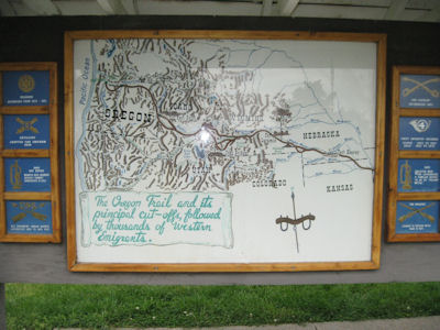
Trail map and info
|
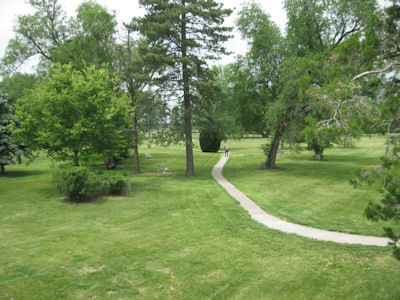
Me on the fort grounds ...
|
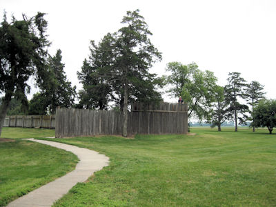
... and Ken in the stockade
|
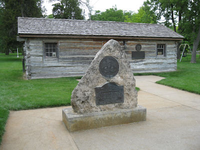
The Macchette Station
|
Pony Express medallion
|
Another view
|
Original Macchette site
|
Monuments for PE ...
|
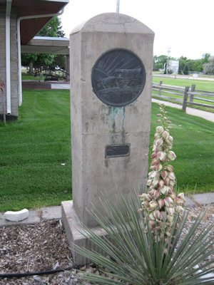
... Oregon Trail ...
|
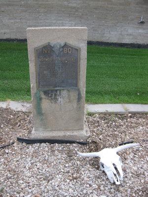
... and Mormon Trail
|
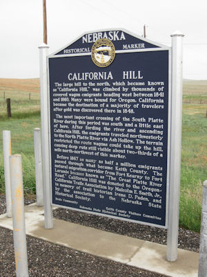
5/26/2012 California Hill - This area marks the start of the steady climb from the Great Plains on the
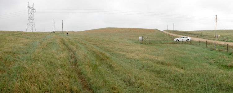
Oregon and California Trails [NE]. There were some very clear ruts here out on the hill, and an interpretive sign at the road intersection.
A little west of here we headed off for Ash Hollow NHL. A spring in the vicinity of Ash Hollow Cave made it an attractive site
for human habitation, spanning over 2,500 years from 1000 B.C. It was also a good place for water on the overland trails,
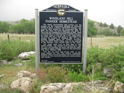
although the rugged cliffs made travel challenging. ... From here we drove back a short ways to Windlass Hill, which marked the
entrance from the high table lands to the south into the Ash Hollow area and the North Platte River valley. There are Oregon and
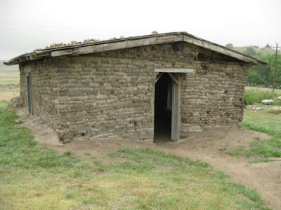
California Trail ruts here as well, and we checked out a sod house. ...
Scotts Bluff National Monument ... then
headed a little south and back west again, first on pavement, then on gravel. When we crested the local high area, we knew we had
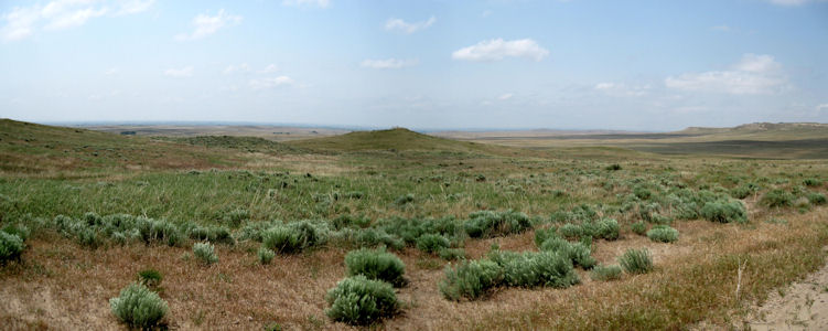
reached Robidoux Pass NHL. Named for the family that had a trading post here, this is a gap passing through the Wildcat Hills used
by thousands of emigrants on the Oregon Trail from 1843-1851. We could see a long distance west, fading into the haze. On the road back
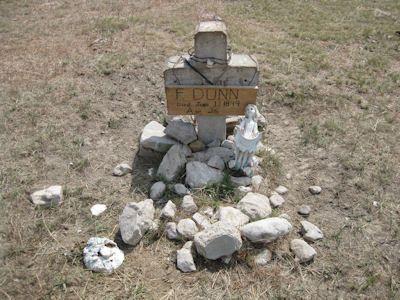
we stopped at a roadside grave of “F. Dunn, age 26”, one of only a handful of marked graves along the Oregon Trail [NE].
California Hill signage
|
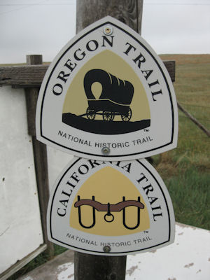
Trail blazes
|
A nice panorama showing the ruts (and Ken)
|
Windlass Hill signage
|
A sod house ...
|
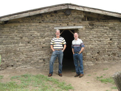
... with us out front
|
Robidoux Pass
|
A trail grave
|
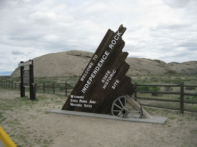
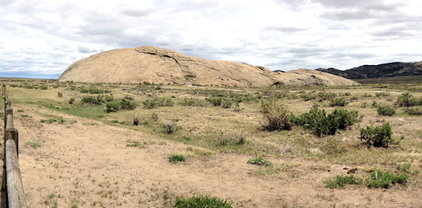
5/31/2013 Back in the car north, into the Great Divide Basin, to the furthest stop, Independence Rock NHL.
This is a large domed granite monolith, used as a waypoint by Emigrant Trail travelers who hoped to reach it by Independence Day
(and it was apparently named on July 4, 1824). We thought it looked like a big cow pie, but that’s just us. This spot is on all
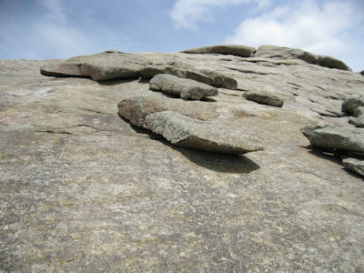
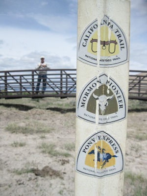
the NHTs – California, Oregon, Mormon Pioneer and Pony Express [WY]. We walked up to the Rock for photos and checked out the boulders
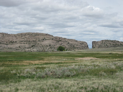
sitting on the larger sloped monolith. ... The [Tom Sun] ranch is near Devil’s Gate, a slit in the rocks which was also an Emigrant
Trail landmark.
Independence Rock sign
|
The famous trail waypoint
|
Interesting balancing rocks
|
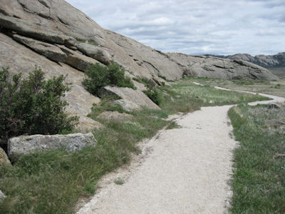
The trail around the rock
|
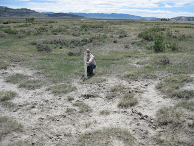
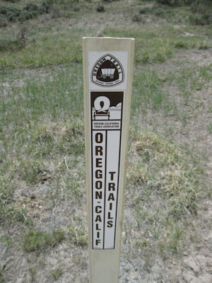
Ken by a Trail marker ...
|
... and the marker with me
|
The other side of the marker
|
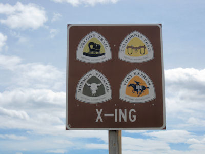
The Trail auto route
|
Devil's Gate
|
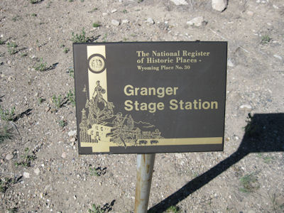
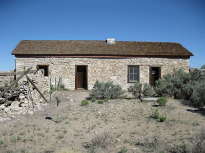
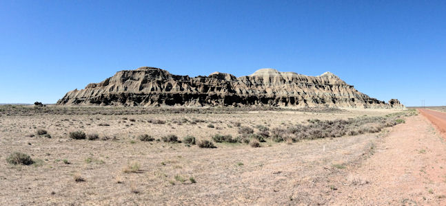
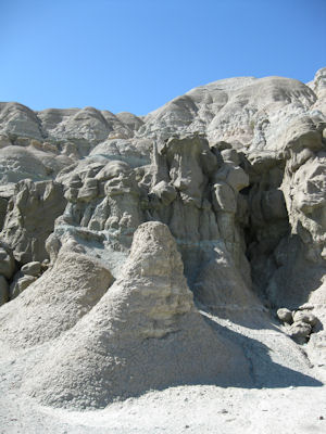
6/1/2013 Granger Stage Station [State Historic Site] – an Overland Trail station on the Oregon and Pony Express NHTs. ... Church Butte
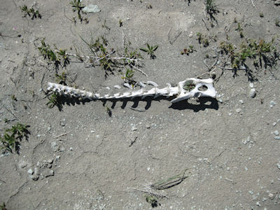
– another interesting geographical landmark on the Emigrant Trails and a Pony Express relay station. Here we walked around in the quiet
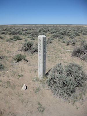
of the area, finding the skeleton of some small mammal. Trail marker – for all four NHTs. ... Fort Bridger State Historic Site -
originally a 19th-century fur trading outpost established in 1842 and later a vital resupply point for wagon trains on the Emigrant Trails,
as well as a Pony Express station [NHTs in WY]. ... Echo Canyon – we got off the interstate to take the scenic LH route. The brochure we had pointed
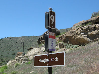
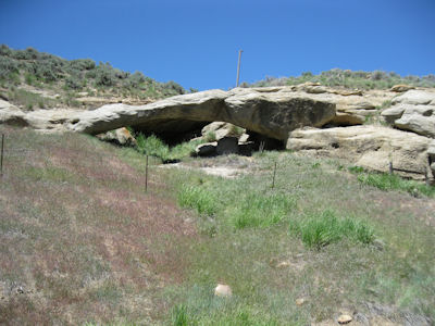
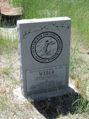
out various sites of historic interest for the Mormon travel through this area. We also stopped at the Hanging Rock and Weber Pony Express
Stations. The whole route is on the Emigrant Trail NHTs and Pony Express NHT [UT]. Exiting the Canyon, we juked north on the Ogden path of the LH,
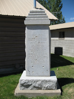
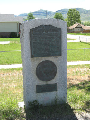
to see more Trail stuff. Henefer - Various Trail markers, monuments and signage for LH, Mormon Pioneer, California and Pony Express [NHT in UT]. ...
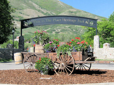
Park City - Short detour for Snyders Pony Express Station. ... headed north to This Is The Place Heritage Park, at the west end of
Emigration Canyon NHL. This is the original route used by pioneers, including the Mormons, entering Utah and where Brigham Young declared,
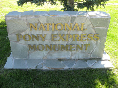
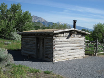
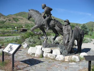
"This is the right place. Drive on." First we stopped at the National Pony Express Monument, with a replica stage station and a nice
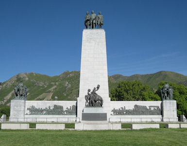
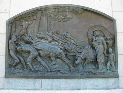
twice-life-size statue of a young rider changing horses. Up the hill in the heritage park we saw the huge This Is The Place monument,
with all kinds of carvings, statues, plaques and the like.
Granger sign
|
The Granger station
|
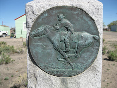
Pony Express medallion
|
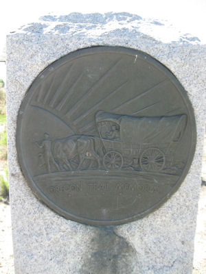
Oregon Trail medallion
|
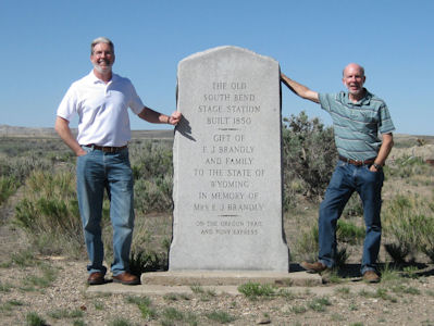
Ken and me by the memorial
|
Church Butte
|
A detail of the formation
|
An ex-critter
|
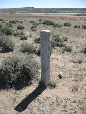
Trail marker on two sides ...
|
... and the other two
|
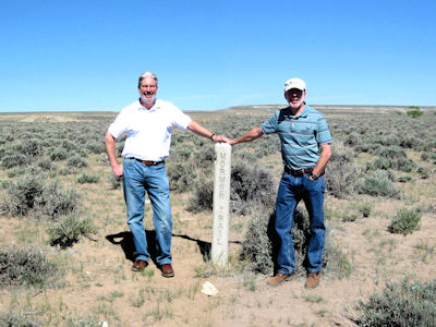
Holding up the marker
|
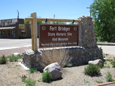
Fort Bridger sign
|
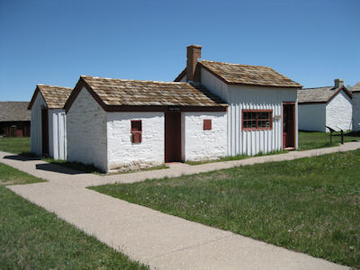
The trading store near the trail markers
|
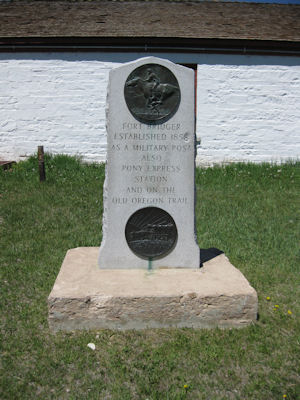
Trail medallions
|
Echo Canyon sign for ...
|
... Hanging Rock
|
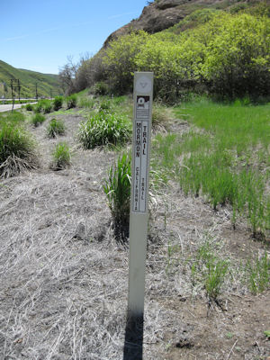
One Trail marker ...
|
... and another
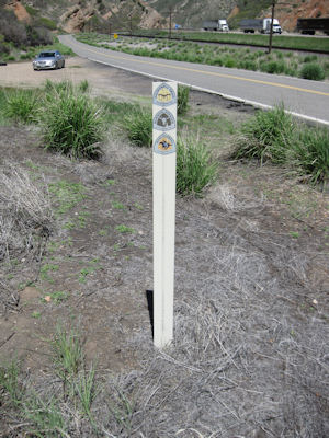
|
Weber PE Station marker
|
Mormon Pioneer marker
|
Pony Express marker
|
Signage for the California ...
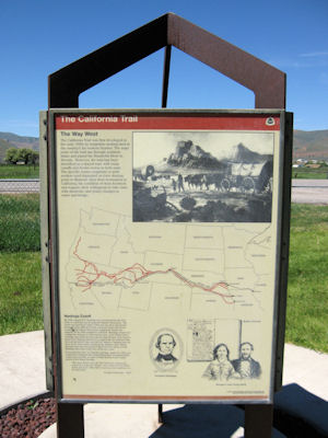
|
... Pony Express ...
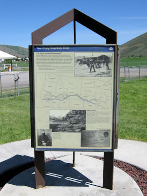
|
... and Mormon Trails
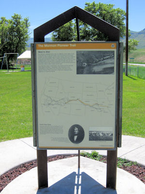
|
Snyders PE Station marker
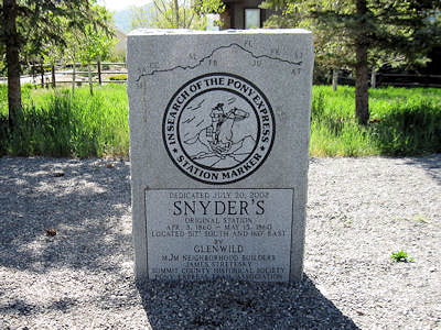
|
This Is The Place park sign
|
Pony Express Monument sign
|
Reconstructed station
|
The cool monument statue
|
This Is The Place monument
|
Detail on the monument
|
5/31/2019 Pony Express National Historic Trail.
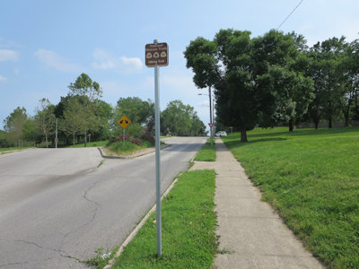
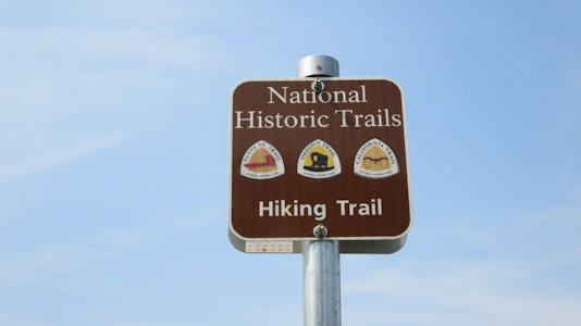
... McCoy Park. This was an accidental find due to some NPS NHT trail and auto route
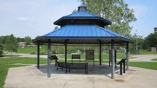
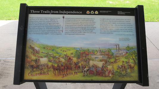
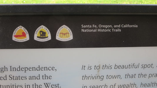
signs on the road. In the park is a gazebo with a number of signs about the Oregon, Santa Fe and California trails (NHT)[MO].
We spotted some ...
|
... auto route signs
|
McCoy Park shelter
|
A number of panels ...
|
... about the NHTs
|
6/1/2019 ... so we headed back east (for a while on the Oregon and California NHT Auto Routes) ...
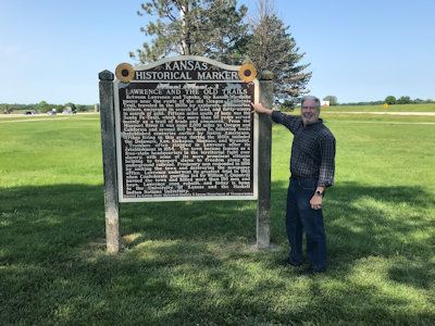
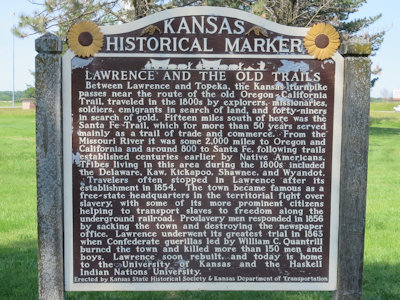
Our last stop east was an easy one, at the end of the parking lot in an interstate median rest area - another Kansas
sign about the Oregon and California Trails [NHT in KS].
Ken pointing out ...
|
OR/CA Trails info
|
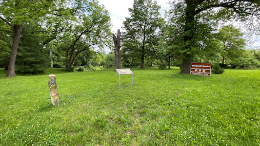
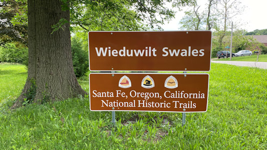
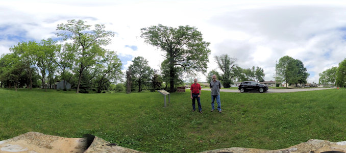
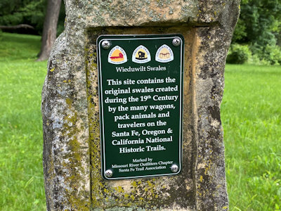
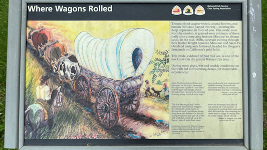
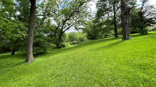
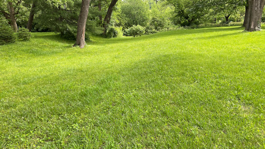
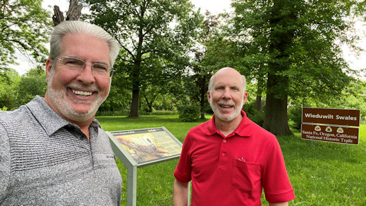
5/26/2021 Wieduwilt Swales. The swales were created as emigrants on the Santa Fe, California, and
Oregon Trails (NHT)[MO] traveled up a hill and went around a natural rock outcrop near the north central portion of the site.
A wide view of the site
|
The park sign
|
A 360 of the area with us
|
Some detailed info ...
|
... interpretive sign ...
|
... with NHT logos
|
One view of the swales ...
|
... and another
|
Ken and me
|
9/23/2023 Massacre Rocks State Park
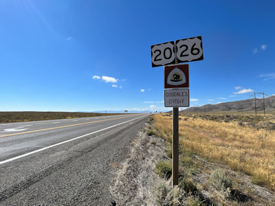
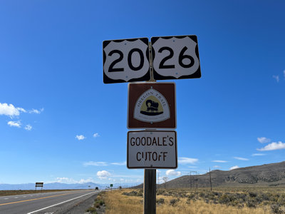
... Along the road between here an Arco we spotted Oregon Trail signage for Goodale’s Cutoff.
A lonely stretch of ...
|
OR NHT Goodale's Cutoff
|
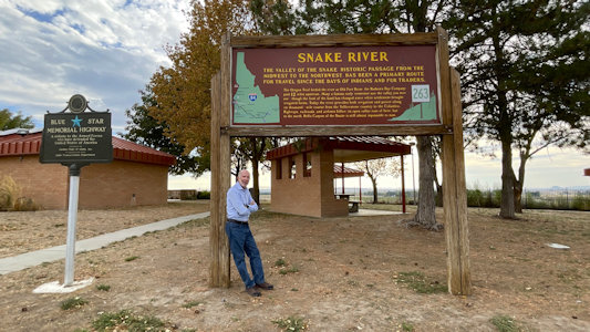
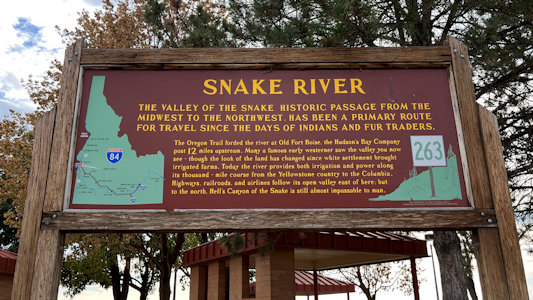
9/24/2023 Marker - Snake River (Fruitland). “The valley of the Snake, historic passage from the Midwest to the Northwest, has been
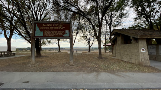
a primary route for travel since the days of Indians and fur traders.” (referring to the Oregon trail) Marker – Salmon Festival (Fruitland). “Long before
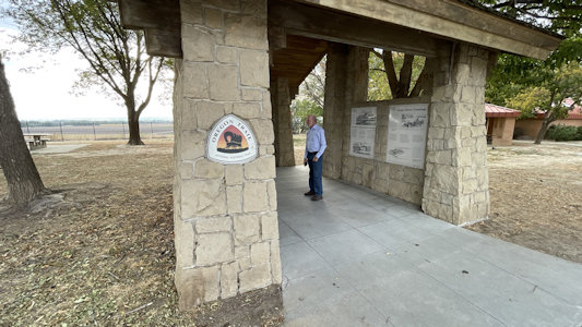
fur hunters explored here in 1811, an annual Indian salmon festival was held each July in this area.” These last two markers were at a rest area, where
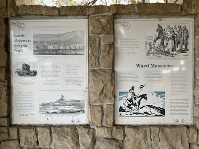
we also found a little kiosk with info on the Oregon NHT.
Me by ...
|
The Snake River marker
|
The rest area ...
|
... with NHT info ...
|
... and emblem
|
Oregon Trail info ...
|
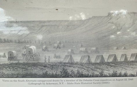
... including an encampment ...
|
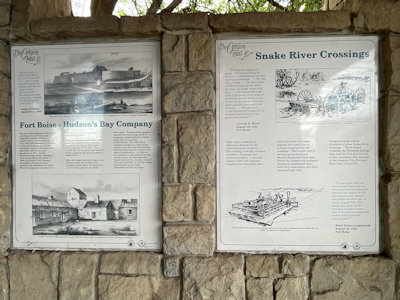
... and on river crossings
|
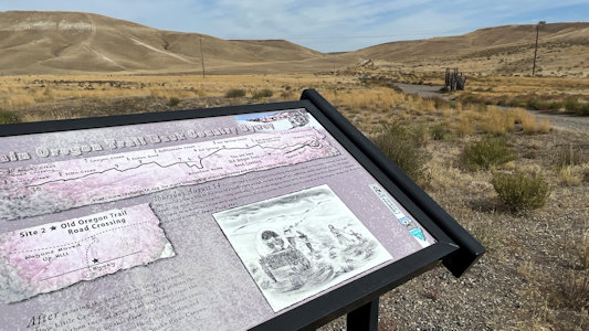
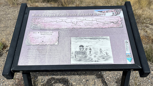
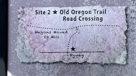
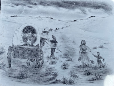
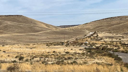
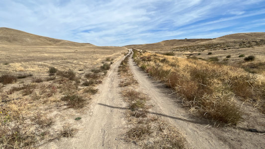
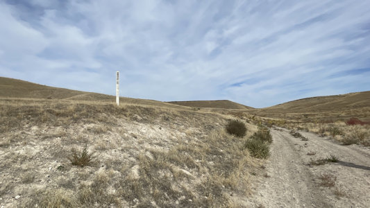
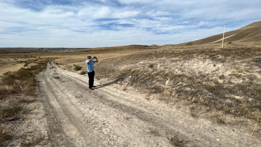
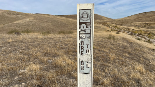
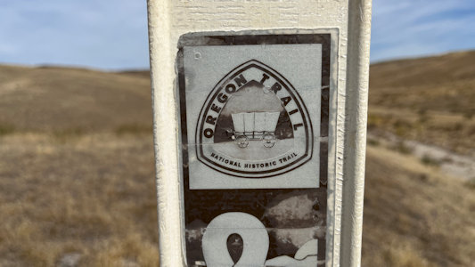
9/25/2023 Signage - Oregon Trail NHT. This is on Old Oregon Trail Road, that we had been paralleling on the main road,
and is a spot where there was a split in the trail offering two paths over rough terrain and steep hills. We took a walk along one of the pretty
obvious trails and found one of the white “flappy markers” for the NHT bobbing in the breeze. Hagerman Fossil Beds National Monument
A view of the area ...
|
... with signage ...
|
... and map ...
|
... and what it looked like
|
They came from out there ...
|
... roughly along this path
|
... where we spot, ...
|
... and Ken photos ...
|
... a flappy marker.
|
The classic emblem
|
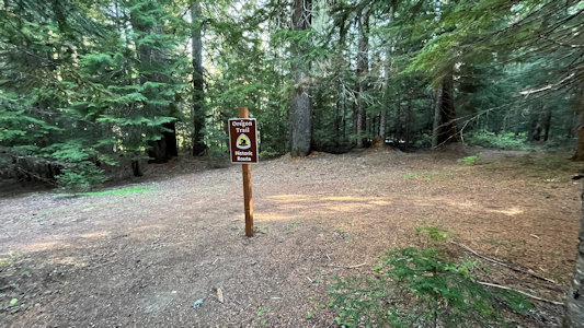
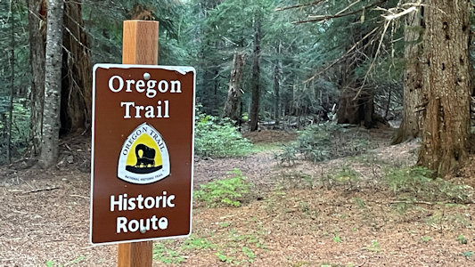
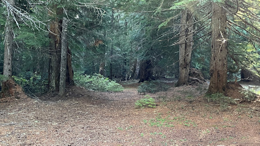
9/20/2024 Near the base we got off to find a site for a DAR plaque, this being yet another new category for us. While looking for it,
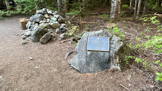
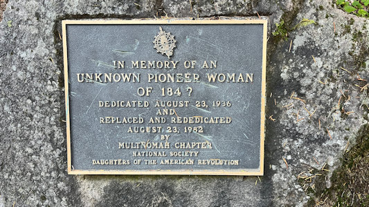
we spotted another sign - the Oregon Trail NHT! Bonus! Right nearby we found our DAR marker, “Unknown Pioneer Woman”, dedicated to a pioneer woman who had
died on the trail. The grave was discovered in 1924, marked with an old wooden wagon tongue buried beneath decades of overgrown brush.
Our bonus find ...
|
... of the Oregon Trail
|
A view of the trail ...
|
... and the emblem
|
The Pioneer Woman grave ...
|
... with plaque
|
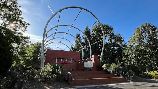
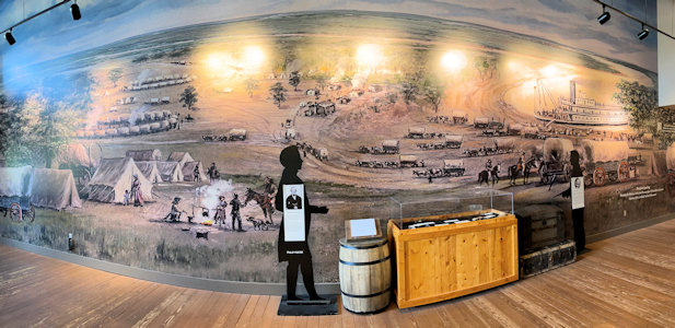
9/21/2024 Our last stop of the trip turned out to be quite nice, and we could have spent more time there if we didn’t have a flight
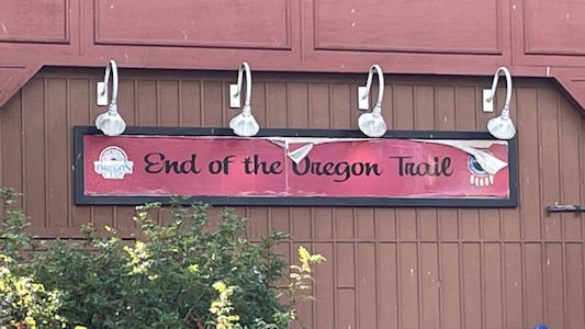
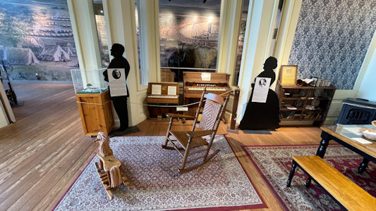
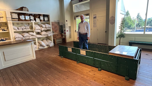
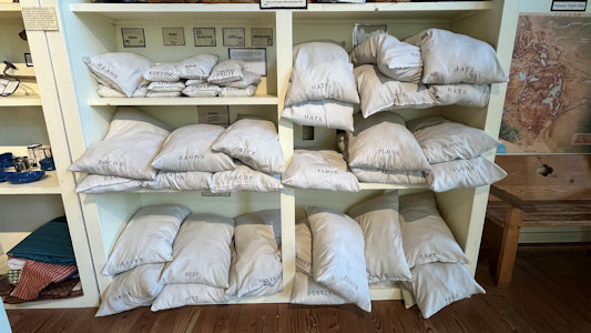
to catch. The End of the Oregon Trail Interpretive Center is a museum with “a wealth of displays about the history of the Oregon Trail and the town of Oregon City”.
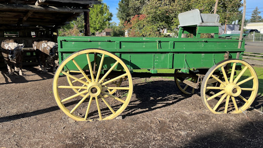
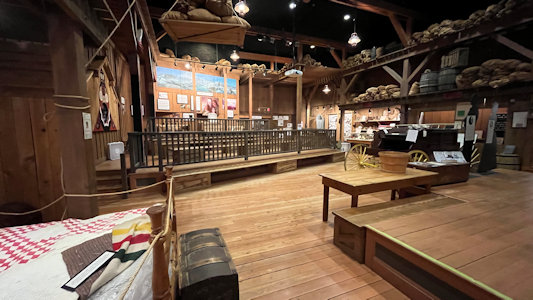
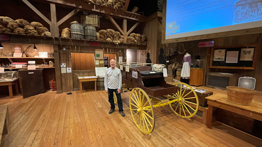
The building is under a huge set of prairie schooner upper canvas supports and the look is very effective. Inside we saw exhibits about the preparation for
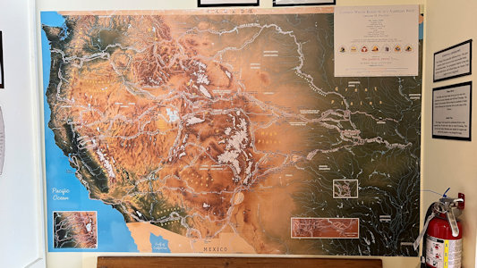
setting out from home to the west, then skipped the movie theater, then more museum rooms about the life in Oregon after arrival. On a large map of the Oregon
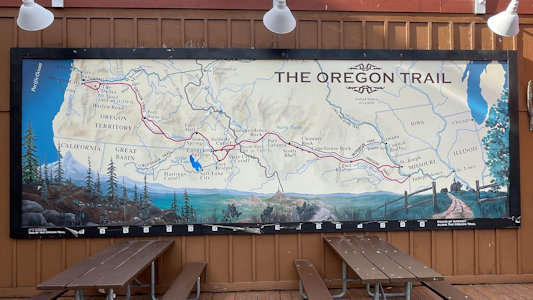
and other historic trails we were amazed at just how many of the labeled locations we had been to.
Cool outside structure ...
|
... and wagon
|
An outside map of the trail ...
|
... which ends here
|
A nice mural about the trail
|
Life at home as one left it
|
Ken in example storage volume ...
|
... and stuff one might carry
|
Detailed map of the trails
|
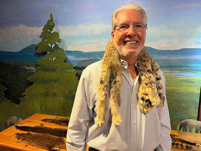
Ken stylin'
|
More great displays ...
|
... with me
|
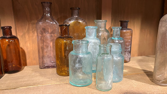
Old containers
|