Home
Travel
NPS States
NPS Types
National Historic Trails (Non-Units) - Santa Fe
Santa Fe National Historic Trail (Colorado, Kansas, Missouri, New Mexico, Oklahoma)
6/4/1995 Fort Union National Monument
9/25/2004 Bent's Old Fort National Historic Site
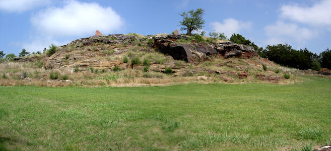
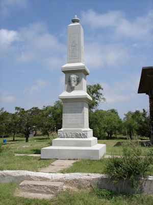
6/11/2007 Back on the road south through Hays and to Pawnee Rock [SHS], an outcropping on (and visible from) the
Santa Fe Trail [NHT in KS]. Walked around and went on the roof of the pavilion for good views of the prairie. ...
Fort Larned National Historic Site
The view as from the trail
|
The monument ...
|
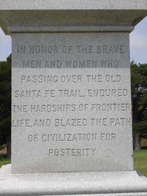
... with inscription ..
|
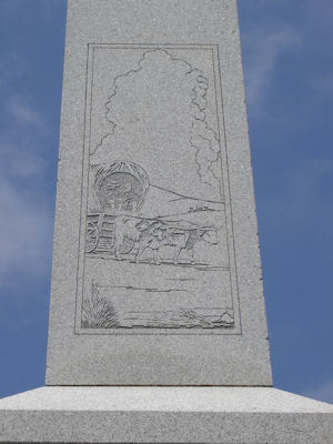
... and trail image
|
The pavilion ...
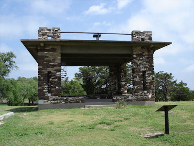
|
with us on top
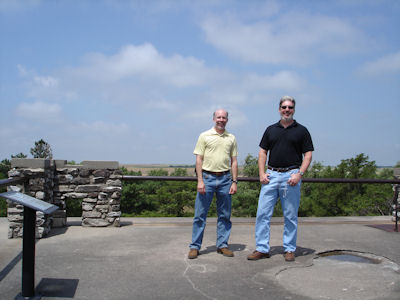
|
9/10/2008 Went into SF to the park-like [Santa Fe] Plaza [NHL] (start of the Old Spanish and also on the
Santa Fe and El Camino Real de Tierra Adentro NHTs [NM]) ...
A nice panorama of the Plaza
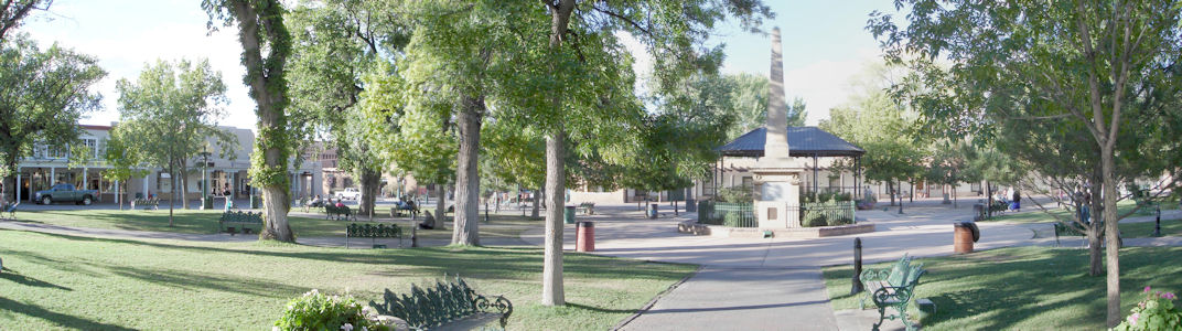
|
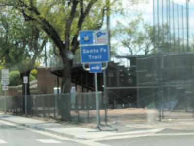
Santa Fe Trail sign

|
10/4/2012 The whole stretch was along the Santa Fe Trail Scenic Byway. I stopped at two Santa Fe NHT [CO] sites.
First was Sierra Vista, with nice views across the plains to the Rockies (considered a milestone along the route). The other was
at Iron Spring which was an important water stop.
On the auto route
|
Sierra Vista sign
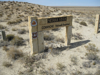
|
The NHT blaze
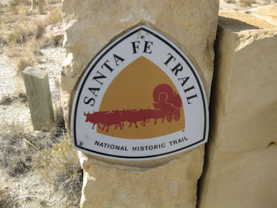
|
Wide-open area!
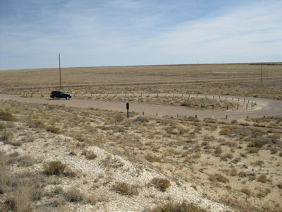
|
Auto route and Scenic Byway signs
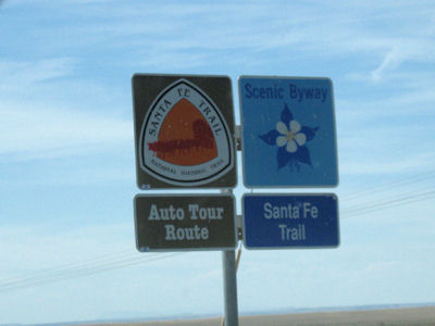
|
Iron Spring sign
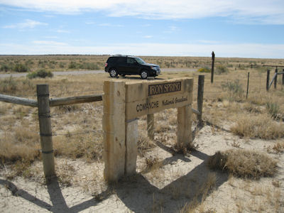
|
A trail sign
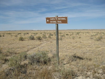
|
Some interpretive signage
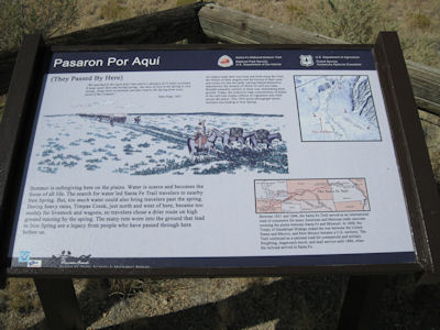
|
Hard to see the ruts here
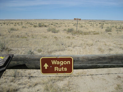
|
4/28/2017 Leaving Trinidad we got on the Santa Fe Trail NSB, and not long after heading south,
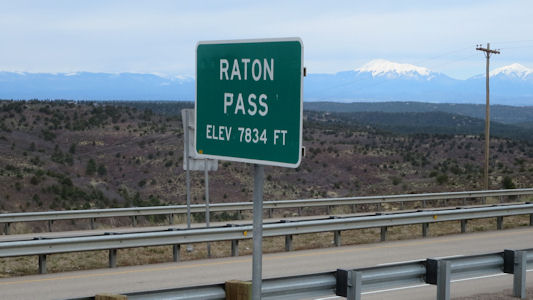
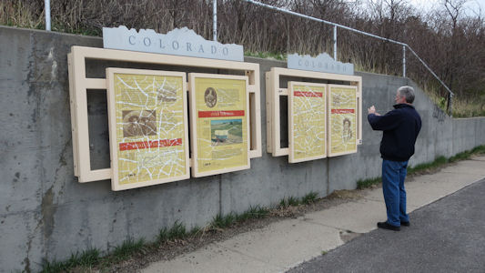
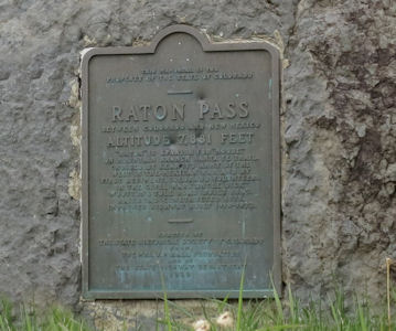
we crossed into NM and immediately got off to see a small wayside exhibit and plaque on the Raton Pass NHL. This is a
mountain pass along the Colorado/New Mexico border on the Santa Fe Trail (and on the Santa Fe NHT [NM]). Although I had
already taken credit for this, knowing I had passed over years ago, this was more official with a photo. We left the
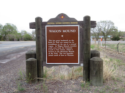
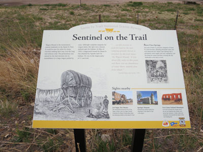
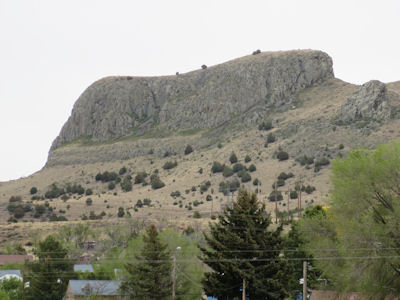
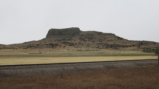
SFT NSB after Raton, then rejoined it as we continued more south to the Wagon Mound NHL near the eponymous town. Wagon
Mound is a butte that was a major landmark for pioneers along the Cimarron Cutoff of the Old Santa Fe Trail, and is a
site on the Cimarron Route of the Santa Fe NHT. Although we had taken some photos from the Interstate, we drove down a
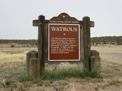
local road for better views. Further south brought us to Watrous (La Junta) NHL District, which encompasses the historic
junction point of the two major branches (Mountain and Cimarron Cutoff) of the Santa Fe Trail. After checking out an
historic marker, we drove through the very small and sad-looking town which did have some surviving historic structures,
also on the Santa Fe NHT. Ken had scoped out a stage station on private property for a representative photo, but we
couldn't see any reasonable way of getting near it - oh well. Note: we have been back on the Santa Fe Trail from well
north of Wagon Mound, and left it a little after here.
At the Pass
|
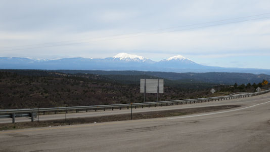
Beautiful mountain view
|
Signs about the trail
|
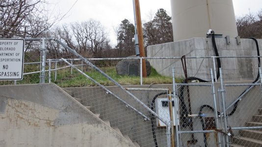
The inaccessible plaque
|
A close-up
|
Wagon Mound state sign ...
|
... and interpretive sign
|
NHT and Byway!
|
The Mound from near town
|
A better view from further away
|
Watrous state sign
|
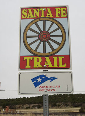
Byway sign
|
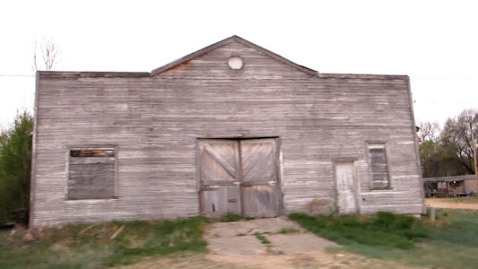
Beautiful downtown Watrous
|
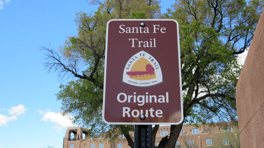
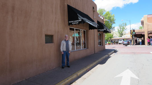
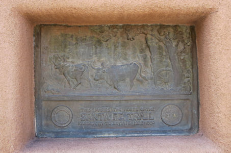
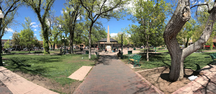
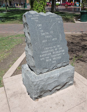
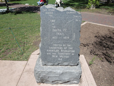
4/30/2017 Santa Fe NHT [NM]. We passed road signs and a plaque embedded in a wall, along with a stone
“end of the trail” marker in the Santa Fe Plaza NHL. This is the center gathering place in town, echoing the traditional
Spanish-American colonial cities.
NHT sign in town
|
Ken near ...
|
... a plaque
|
Santa Fe Plaza
|
End of the trail ...
|
... stone marker
|
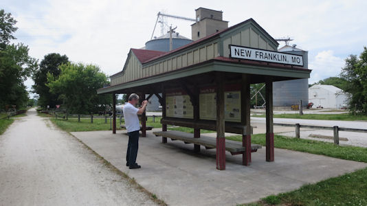
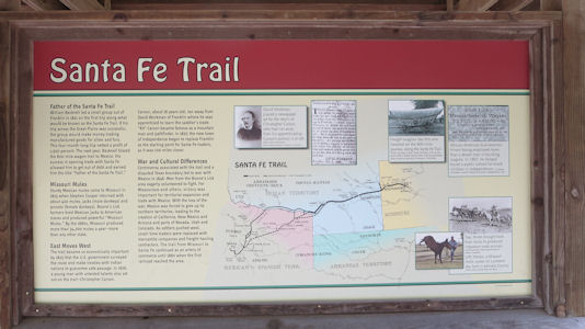
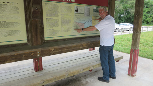
6/4/2017 Onward west we stopped right outside of New Franklin in the Katy Trail State Park for some
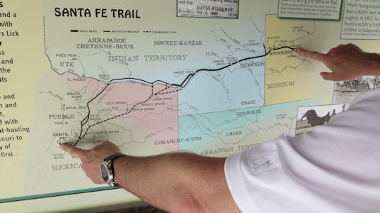
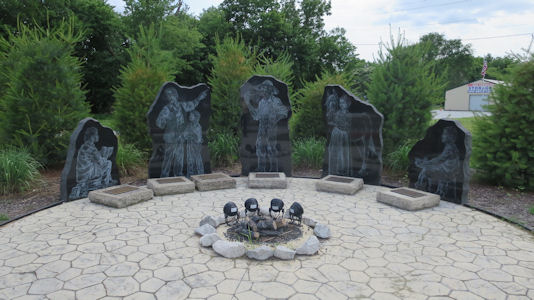
signage to take credit for the starting point of the Santa Fe Trail (NHT in MO), which we found. Across the street were some modern
etchings on granite depicting people involved with the Trail, and in town we photoed a stone and plaque placed by the DAR
in 1909. The Trail had actually started in Franklin, but that town had been washed away in floods and was reestablished a
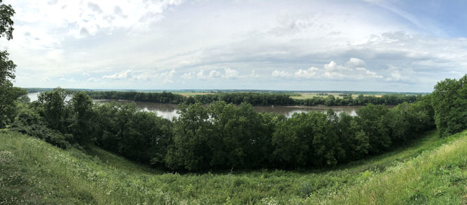
little inland. Across the Missouri in Boonville we went to Harley Park where I had researched some Trail info. At Lookout
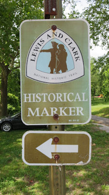
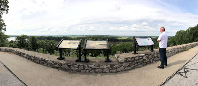
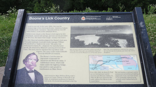
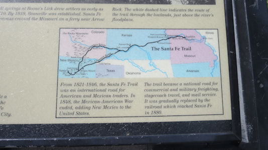
Point, with nice views across the river, were in fact signs for not only the Santa Fe NHT, but also a bonus L&C NHT!
Katy Trail State Park ...
|
... with Santa Fe Trail info
|
Ken pointing out ...
|
... the start and end of the trail
|
Trail history in art
|
New Franklin memorial
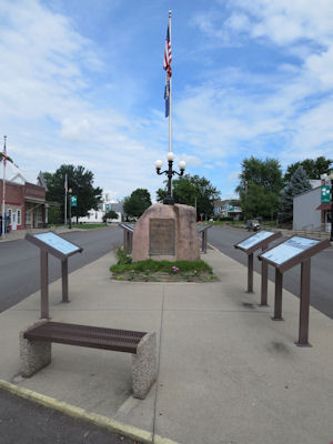
|
Trail info
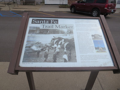
|
Ken and me by the memorial
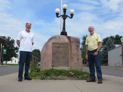
|
Park sign
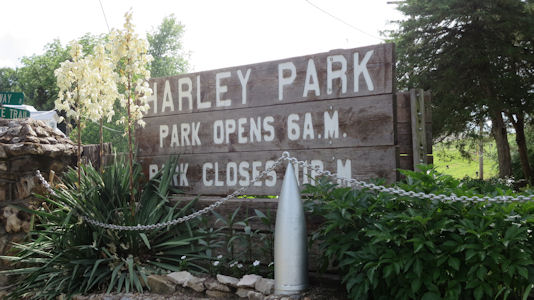
|
That'a way ...
|
... to the SF and L&C trail info
|
Santa Fe trail info ...
|
... and map
|
The NHT logo
|
A nice panorama of the river and trail area
|
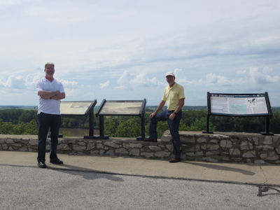
Ken and me at the overlook
|
5/31/2019 Oregon National Historic Trail
5/26/2021 Oregon National Historic Trail