Home
Travel
NPS States
NPS Types
National Geographic Trails (Non-Units) - Multi-State
Ice Age Floods National Geographic Trail
5/27/2010 Lewis and Clark National Historic Trail.
5/28/2010 Lake Roosevelt National Recreation Area. Joined the Columbia and in Coulee Dam (the town)
stopped at Grand Coulee Dam [on the Ice Age Floods NGT]. Now, a channel carved by the racing waters is called a coulee, and the huge one carved by the flood
is the Grand Coulee. [Grand Coulee NNL - an ancient river bed stretching for about 60 miles,
created by volcanic activity and land periodically uplifting and subsiding] At the very impressive, very large dam, stopped at the interpretive center and
saw a good film about the flood, and some exhibits. Sun Lakes Dry Falls State Park.
A nice panorama of the whole area

|
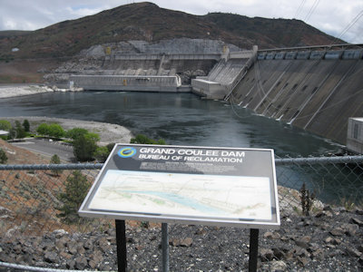
Interpretive signage and dam
|
ANother panorama of just the dam

|
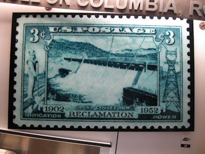
An old stamp of the place
|
9/20/2024
Multnomah Falls ...
Crown Point State Scenic Corridor
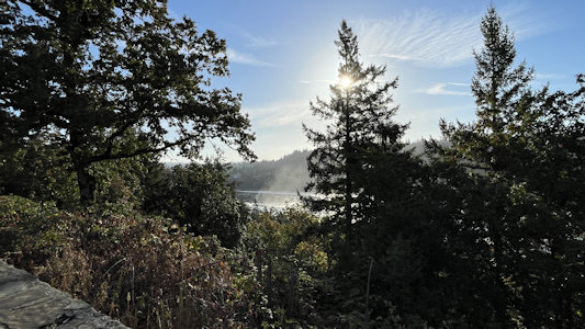
9/21/2024 ... drove south to West Linn for a large pull-out on the NW side of the river. This site, on the Ice Age Floods National
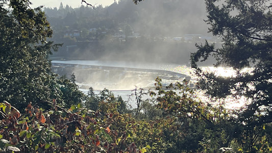
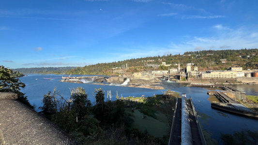
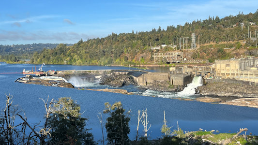
Geologic Trail, is for a view of Willamette Falls. These falls are the second largest, by volume, waterfall in the U.S., created as a receding waterfall
during the outflow of the Ice Age Floods. The 42-foot-high and 1,500-foot-wide falls occurs 26 river miles upstream from the Willamette's confluence with
the Columbia River. The view wasn’t that spectacular here, being a little high and far away. We circled around across the river into Oregon City and
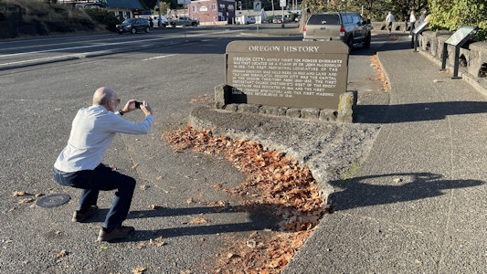
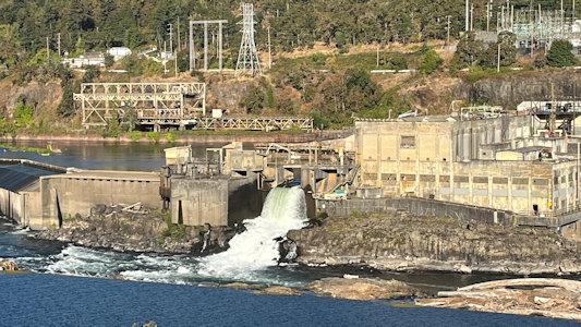
stopped at another roadside pullout for a view of the falls in the other direction. This view was much closer, and we could see the power generation and
industrial infrastructure amazingly integrated into the falls.
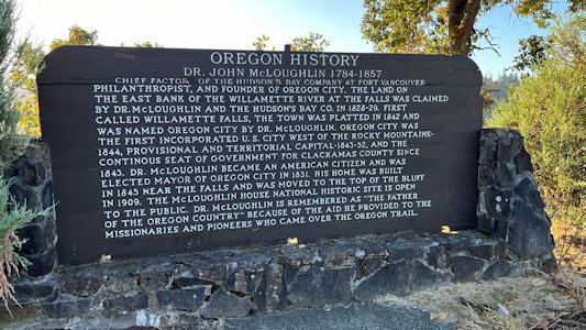
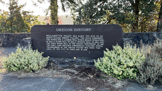
On the west side, lots of ...
|
... Oregon history signage
|
A view through the trees ...
|
... of Willamette Falls
|
On the east side I photo ...
|
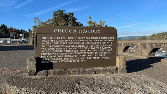
... more Oregon ...
|
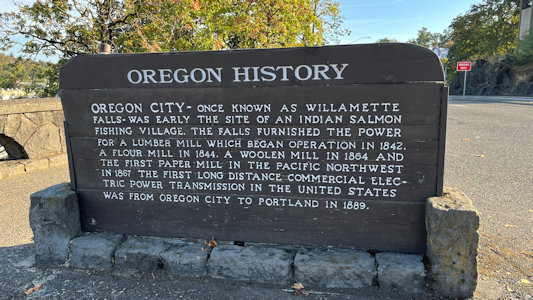
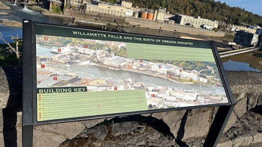
... history signage
|
A long view of the falls area ...
|
... and the falls ...
|
... and the industrial area
|
Another interpretive sign
|
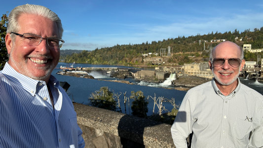
Ken and me overlooking the falls
|