Home
Travel
USFS
Multi-State United States Forest Service
Columbia River Gorge National Scenic Area (Oregon, Washington)
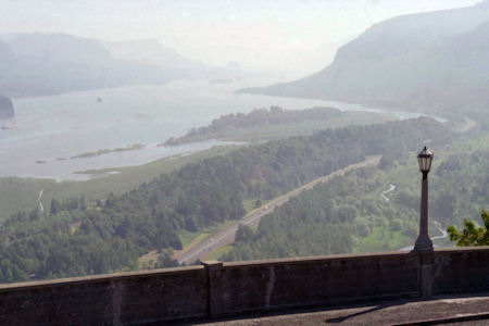
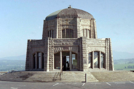
5/28/1995 ... drove along the Columbia River to Crown Point State Park and Vista House - beautiful views from high over river gorge.
[Crown Point NNL - a 733 feet high basalt promontory on the Columbia River Gorge, the remains of a lava flow that filled the ancestral channel of the Columbia River.]
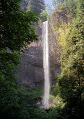
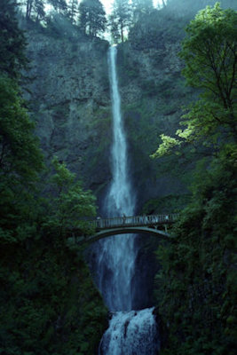
Continued along old road through Columbia River Gorge National Scenic Area [USFS], stopping at waterfalls each more spectacular than the next. Hiked on a few trails,
very enjoyable. ... Drove across the Bridge of the Gods into Washington and to the Bonneville Dam
[WA/
OR Bonneville Dam Historic District NHL and in the NSA].
Took a great tour of the power plant and saw the generator turbines, fish ladder for migrating fish, etc..
A hazy view of the gorge from ...
|
... Vista House
|
Horsetail Falls
|
Multnomah Falls
|
Me on the bridge
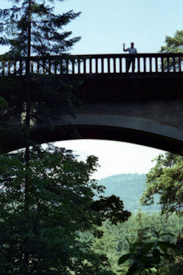
|
Bonneville Dam and Lock
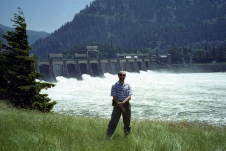
|
Another dam view
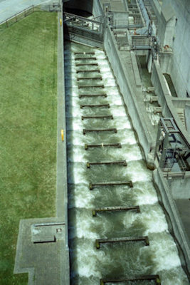
|
Big power generator
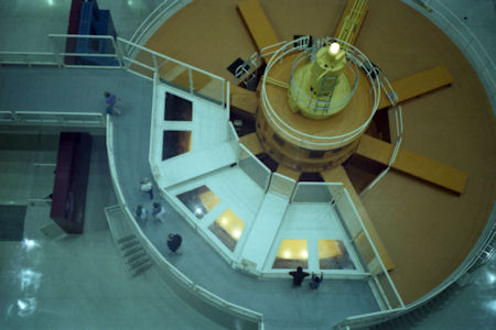
|
5/27/2010 Back on the road west along the Columbia, which becomes more of a gorge (in the Columbia River Gorge National Scenic
Area [USFS]) the more west. Had Rice Chex and Raisins lunch in the car. Weather all day goes between cloudy, overcast and hard rain, but no rain
during sightseeing. At Arlington, went south 8 miles to the spot where the Oregon Trail crossed, and saw the Weatherford marker to a guy who took
the trail and settled nearby. Horsethief Lake/Columbia Hills State Park.
A panoramic view of the gorge from the south side

|