Home
Travel
NPS States
NPS Types
National Scenic Trails - Multi-State
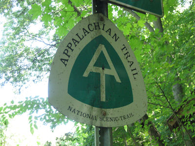
Appalachian National Scenic Trail (Connecticut, Georgia,
Massachusetts, Maryland, Maine, North Carolina, New Hampshire, New Jersey, New
York, Pennsylvania, Tennessee, Virginia, Vermont, West Virginia)
5/4/1996 Harpers Ferry National Historical Park
9/27/2007 Great Smoky Mountains National Park
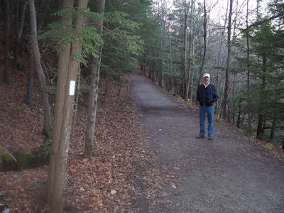
11/8/2007 Crossed the Housatonic at Bull’s Bridge over a single-lane covered bridge. ... Walked back
up the road and on a trail into the woods, first to a lookout platform over the gorge, then down a hiking trail. Went on
this about a quarter mile where it intersected the Appalachian Trail. Walked the AT [CT] for a little way, then back to the car.
Me on the "trail"
|
Ken and I by a medallion
|
A medallion closeup
|
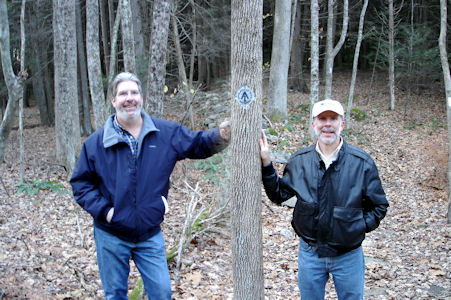
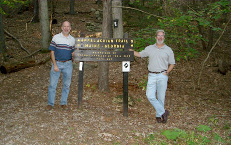
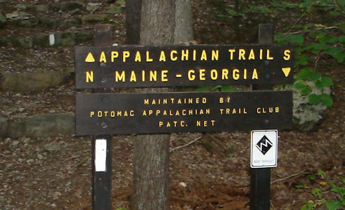
10/5/2008 Not far after Gettysburg we pulled into the [Caledonia ] SP directly on US30. We parked at one
of the picnic parking lots and walked a very short way to the Appalachian Trail [PA]. Took a short but qualifying trek up the
mountain a little, then back down.
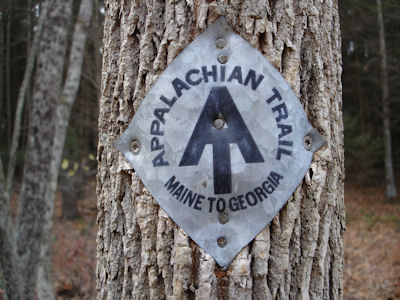
Ken and I by an AT sign
|
Closeup of the sign
|
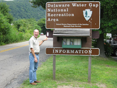
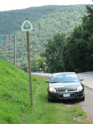
7/20/2009 Got off I80 at the Kittatinny VC for the Delaware Water Gap NRA. Checked out the small VC and
noted what looked like through-hikers on the AT passing by. Up the road a little we saw the walkway that led Appalachian Trail
hikers across the Delaware on I80 into PA. We continued north on the NJ side for about 12 miles, then east a little to a pullout
where the AT crossed. We walked along the AT [NJ] where it followed a gravel access road to a fire tower (which was too far for us
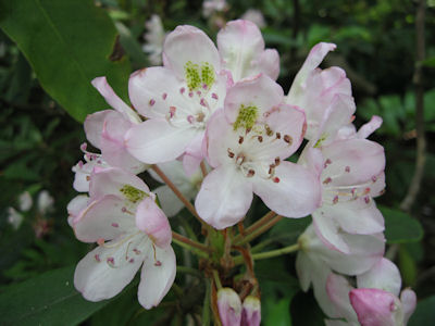
to get to). We were walking in the woods with many flowering Rhododendrons.
Me by the park sign indicating the AT blaze
|
AT medallion along the road
|
Pretty flowers on the AT
|
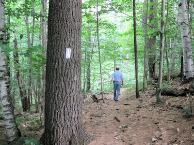
7/8/2010 Headed a few miles north to Norwich on a narrow back road and picked up the white rectangles of
the Appalachian Trail, which led to a small parking area with trail info. Took a short walk in the woods on the AT [VT] – great
trail conditions with a nice pine needle bed, weather getting hotter and sticky already.
A rustic trail sign
|
Me heading down the trail
|
7/9/2010 ... then in Crawford Notch State Park went up a side road (on the AT) and parked for a short walk in the woods on the AT [NH].
Me on the trail in the State Park
|
A target medallion
|
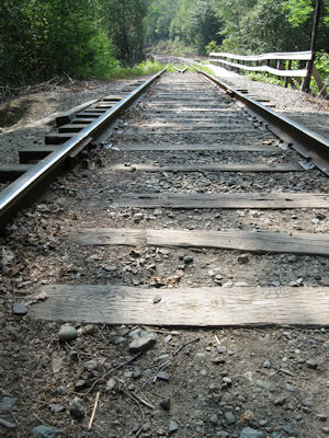
The AT crosses some tracks
|
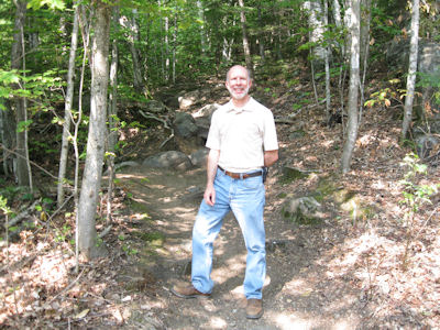
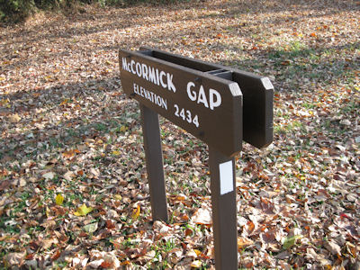
10/15/2010 We entered the south end of the Skyline Drive (Byway) [and NHL] and Shenandoah NP and headed
north. We stopped at the McCormick Gap Overlook for a nice view on a chilly but beautiful morning. Continued to Sawmill Run
Overlook for a good view and tried to find the AT crossing but without success. Luckily I had another waypoint right near
the McCormick where we parked and walked the trail [VA] a little.
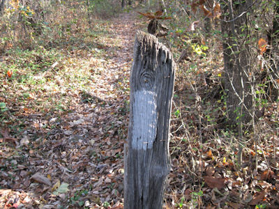
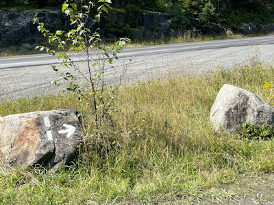
Blaze near McCormick Gap
|
A trail blaze
|
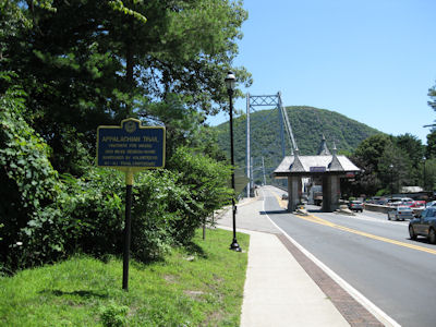
7/14/2011 From there we drove over the [Bear Mountain Bridge] bridge and parked a short distance
north where the AT [NY] drops out of the woods on a steep hillside. We walked a tiny bit on the trail there, then parked at the
east end of the bridge and walked the AT towards the center of the river, with excellent views on a clear day.
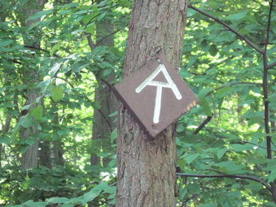
An NPS medallion ...
|
... and symbol blaze
|
The trail heads up the mountain
|
The trail crosses Bear Mountain bridge
|
Interpretive signage
|
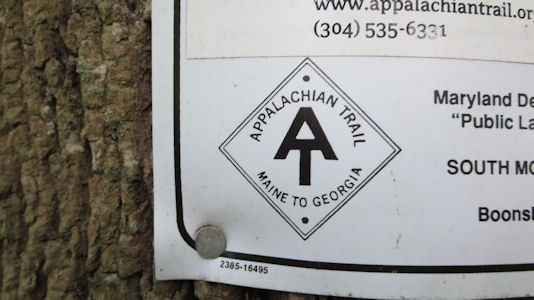
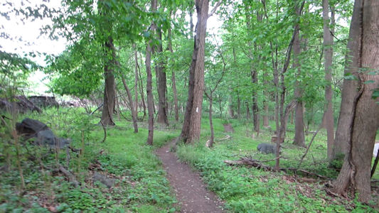
5/26/2016 South Mountain Summit. Appalachian Trail NHT. At the summit, we took a short stroll down the trail to
get credit for the AT in MD.
Trail signage ...
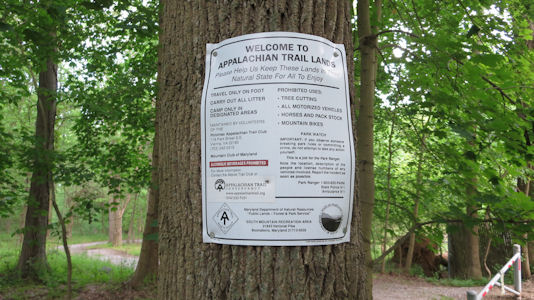
|
... with AT logo
|
A look down the trail
|
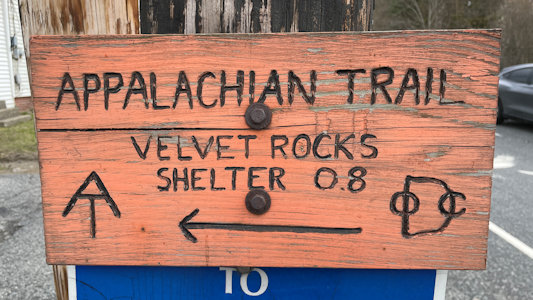
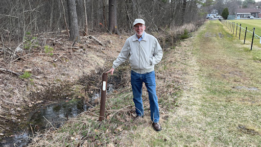
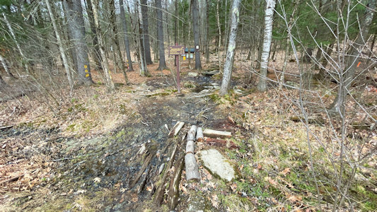
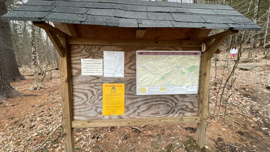
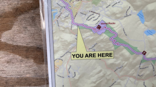
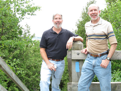
4/21/2022 A little further in town brought us to our last stop, parked near a Mobil station and houses. This is where the
Appalachian Trail exits the woods and runs through town for a stretch. We walked into the woods a bit, despite some muddy areas, to get a feel
for the AT in New Hampshire.
A trail sign ...
|
... and me with blaze near the woods
|
The trail into the woods
|
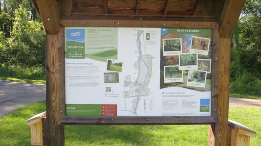
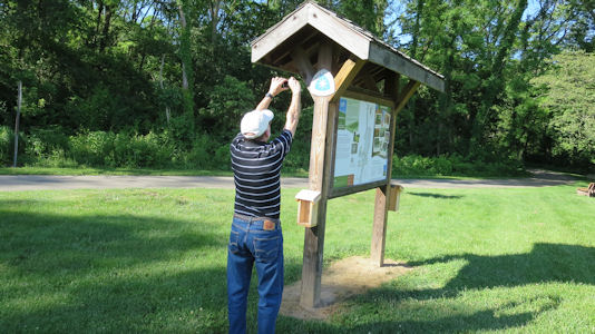
The info board at the woods edge
|
Yes we are
|
Ken on the trail
|
One more look
|
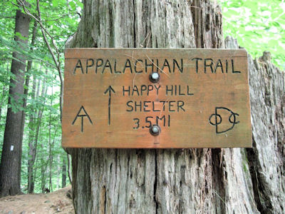
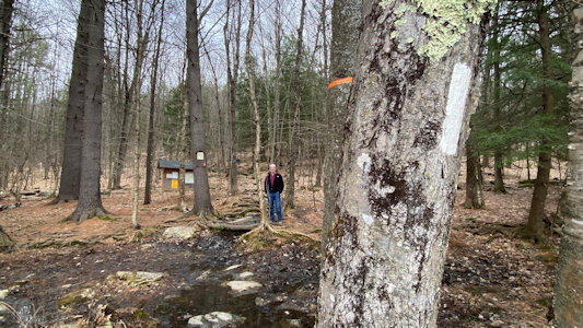
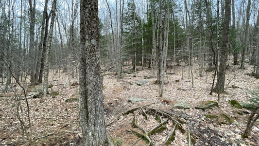
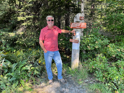
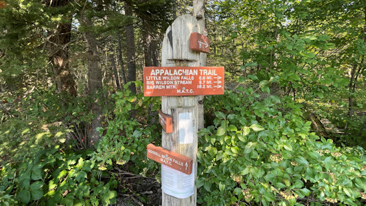
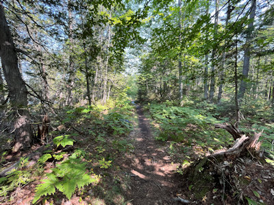
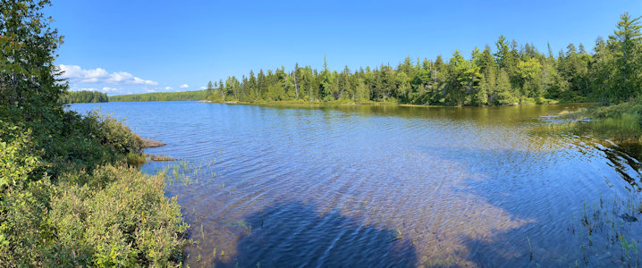
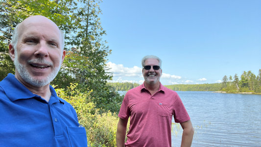
9/10/2022 Back on the road we angled northeast towards Katahdin and picked up a little detour for a trailhead of the AT. There was
some signage here, and instead of the usual short jaunt down the trail for credit in Maine, we went a bit further to the easternmost of the two gorgeous
Spectacle Ponds. The combination of weather and natural sights today couldn’t be beat! Right by the pond there was a sign and sign-in register warning
hikers that this was the start of a 100-mile stretch (100 Mile Wilderness), wherein they would find no services for supplies replenishment. Yikes! This
with the knowledge that climbing Mount Katahdin was still in their future.
Ken by ...
|
... the
|
Classic AT blaze ...
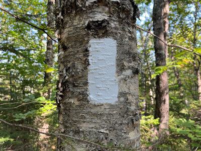
|
... along the trail
|
Me by the sign ...
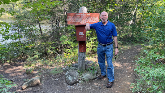
|
... with 100 mile wilderness warning

|
A 360 by ...
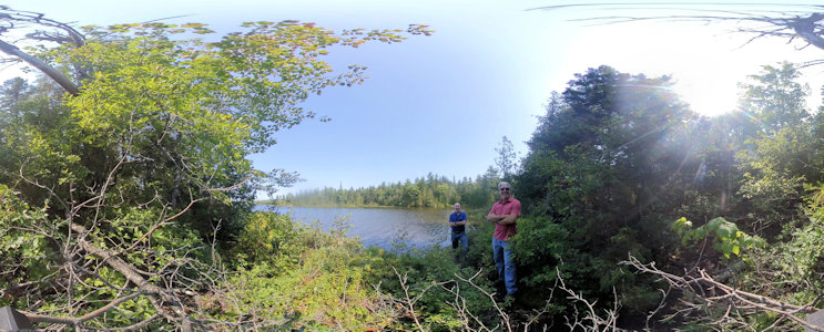
|
... a gorgeous pond
|
Me and Ken and a pond
|
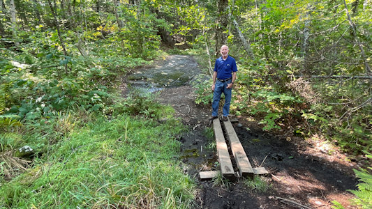
The trail back ...
|
... includes a little bridge
|
AT continues over there
|
Natchez Trace National Scenic Trail (Mississippi, Tennessee)
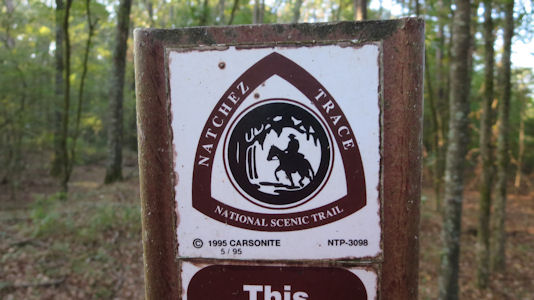
5/22/2003 Headed off on the Natchez Trace Parkway [and Byway] to the Tupelo Visitor Center. Saw a film
and some exhibits, then took a short hike on the Natchez Trace NST [MS].
The park sign
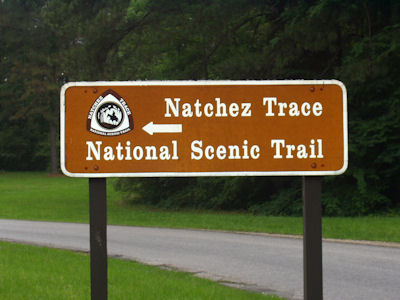
|
Me making like the sign hiker
|
The trail NPS blaze
|
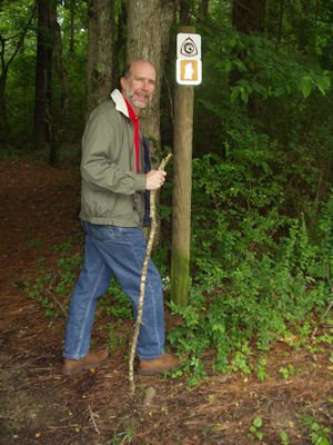
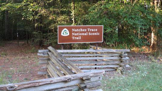
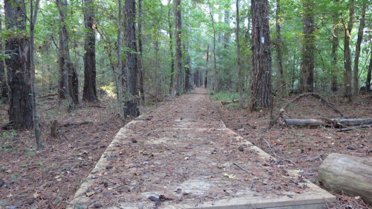
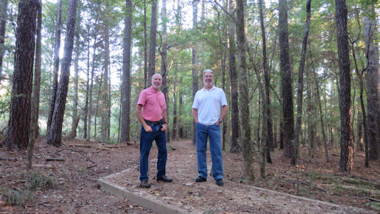
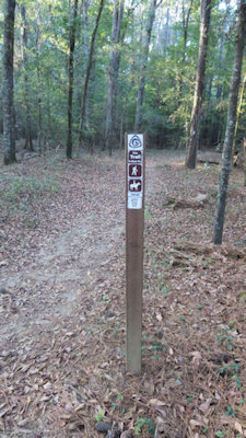
10/14/2017 Drove east through quaint little Canton to the Ross R. Barnett Reservoir where we parked
at the trailhead for the Natchez Trace NST [MS]. As usual we just walked a little ways to get the flavor of the trail and
surroundings before we got back in the car ...
The park sign
|
The boardwalk on the trail and blaze
|
Me and Ken
|
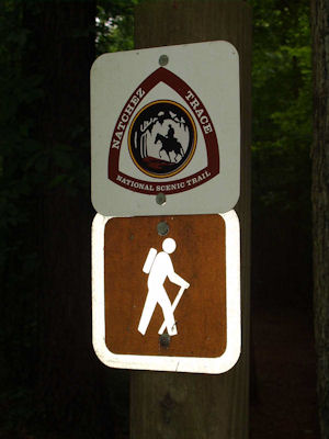
The trail marker ...
|
... with NPS emblem
|
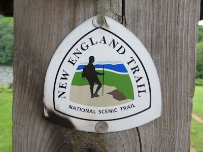
New England National Scenic Trail (Massachusetts, Connecticut)
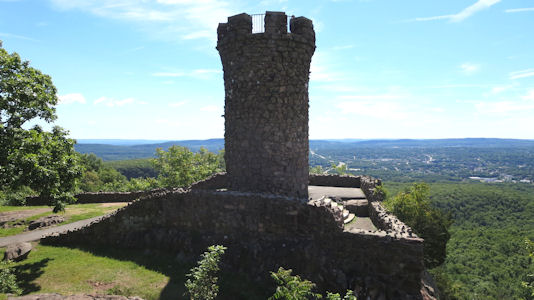
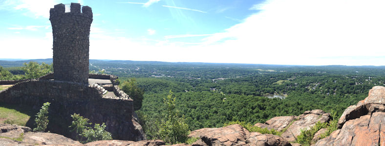
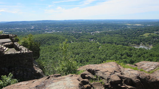
6/20/2014 ... on the road northeast to Castle Craig. This is a 32 foot stone tower dedicated in 1900 by Walter Hubbard
as part of Hubbard Park. It stands on a very steep bluff of the Hanging Hills high over the surrounding land and offers great views. As nice
as it was, the point of going here was to take a very short walk (due to the rugged nature of it) on the Metacomet Trail which is part of the
New England National Scenic Trail [CT].
Me by a blaze ...
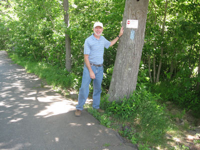
|
... and a trail warning sign
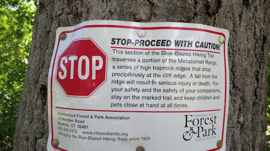
|
A look down the rugged trail
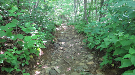
|
Castle Craig
|
A nice panorama
|
Great view from the Castle
|
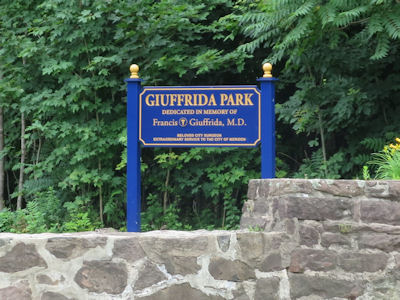
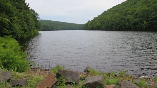
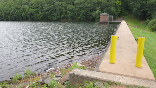
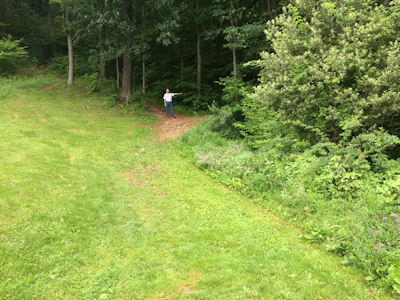
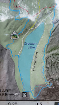
7/4/2015 then continued down to Meriden and Giuffrida Park. Here at the dam at the end of Crescent Lake
we followed the New England Scenic Trail [CT] for a little bit.
The park sign
|
Looking north up the lake
|
Across the dam
|
Me pointing down the trail
|
A trail map
|
The trail emblem
|
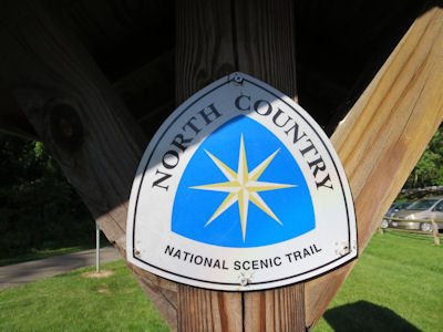
North Country National Scenic Trail (Michigan, Minnesota, North Dakota, New York, Ohio, Pennsylvania, Wisconsin)
8/26/1998 Pictured Rocks National Lakeshore
6/6/1999 Watkins Glen State Park
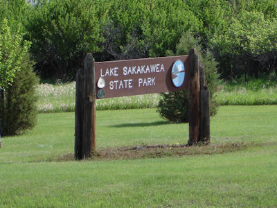
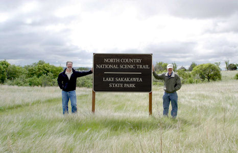
6/13/2008 Stopped at Lake Sakakawea SP, which was formed by damming the Missouri. Stopped at
the visitor center to register and get info, then walked about a mile of the North Country NST [ND], which terminates
right there. On the way Ken found a cool souvenir – a deer antler! Returned via the Overlook Trail, which did just
that for good views of the lake.
The park sign
|
Ken and me by the trail sign
|
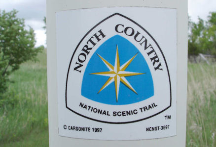
A trail blaze
|
Nice view of the lake
|
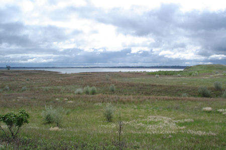
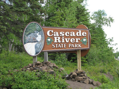
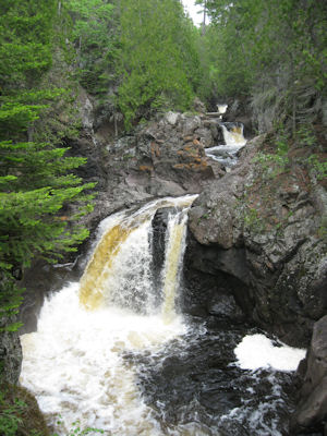
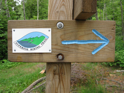
6/21/2009 First stop, Cascade River SP. We picked up a park pass for all the parks, then parked and walked across the
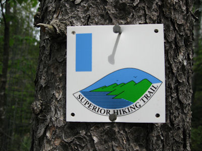
river, viewing the beautiful gorge and cascades (duh). We hiked along the river following the Superior Trail, also part
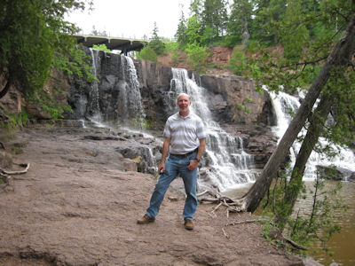
of the North Country National Scenic Trail [MN]. We went to a spot where we could get right near a cascade, and I climbed
down on a ledge for a nice view. On the return hike, Ken went back to the bridge while I stayed on the gorge edge for
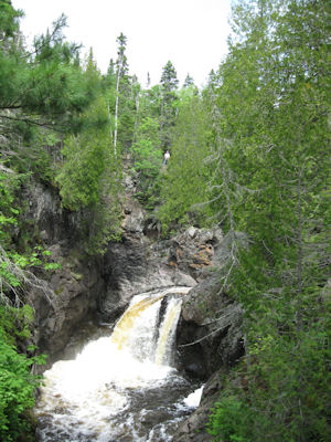
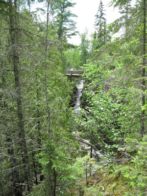
good photos. ... Moved on down the road a little further to Gooseberry Falls SP. Here we walked under the highway,
along then across the river on a bridge, and joined the Superior Trail (North Country) again for a loop around the
other side of the river. We rejoined the path across the river under the bridge where the highway crossed for views
of the Upper Falls then downstream to the Middle Falls. Very pretty, though not as spectacular as some of the falls
we saw earlier in the day.
Cascade River park sign
|
Rushing cascade
|
The trail blaze
|
Me on a ledge ...
|
... and Ken on a bridge
|
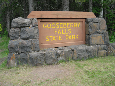
Gooseberry Falls park sign
|
The trail blaze
|
Me by the falls
|
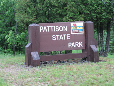
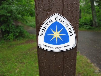
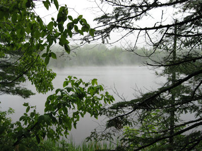
6/22/2009 Headed south through Superior to Pattison SP in WI. We knew the North Country trail [WI]
came through here, and asking a grounds-keeper got us to it. The rain had picked up from drizzle to showers, so we
walked the trail along the lake, photoed the blaze, and called it.
The park sign
|
The trail blaze
|
Fog on the lake
|
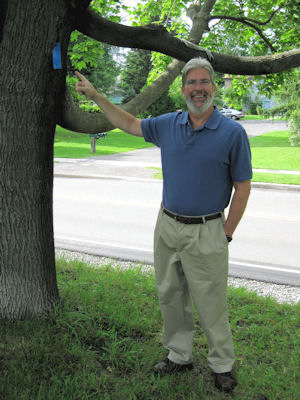
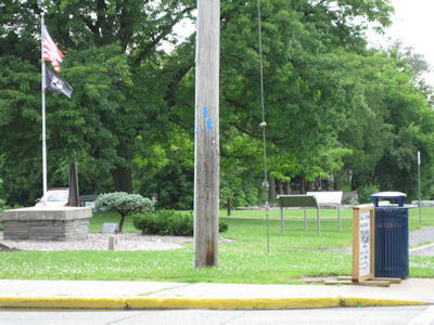
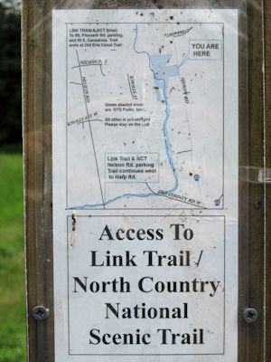
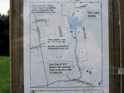
6/29/2009 … drove to Canastota. Found a stretch of the North Country Trail [NY] in town along the
canal and turning along the main road, and walked it a bit, then continued south a short way to Schreid Park.
This “park” is pretty much unimproved scrub land. We walked down to and along an old railroad bed and hit the NCT
again, which we followed to a footbridge over a stream. Very muddy around here due to a storm just a couple hours
before, getting our good shoes and slacks dirty. Headed back up the trail ...
Ken by a blaze in town
|
Another blaze
|
A trail sign ...
|
... and some detail
|
A small bridge over a stream
|
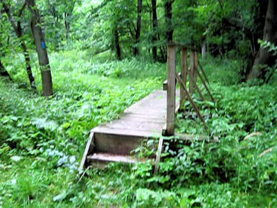
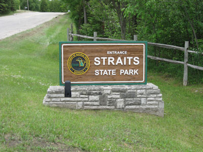
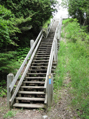
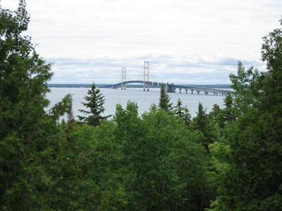
6/10/2010 Went a short bit east to the other side of I75, also in the park, and picked up the North Country NST [MI].
We parked and hiked this trail a ways to an observation platform with an even better view of the bridge.
Pictured Rocks National Lakeshore
The park sign
|
Climb to the platform
|
The view of Mighty Mac
|
Ken and me
|
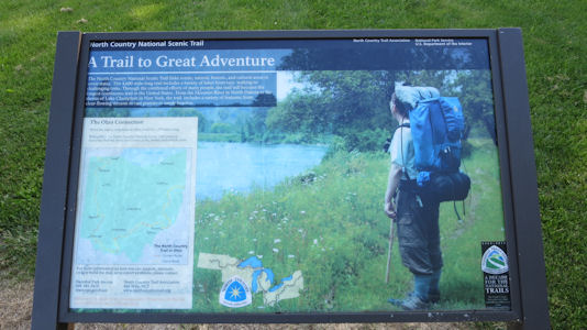
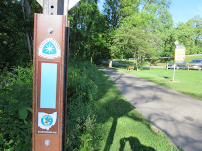
6/1/2017 At the west end of the dam we hiked/walked a little on the Great Miami River Recreational Trail, which is also part of the North Country NST [OH].
Park and trail signage
|
Me toaking a photo of ...
|
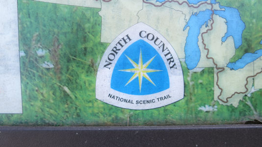
... the trail emblem
|
More trail info ...
|
... and emblem
|
The trail
|
10/19/2020 Crown Point State Historic Site
Potomac Heritage National Scenic Trail (District of Columbia, Maryland, Pennsylvania, Virginia)
5/4/1996 Harpers Ferry National Historical Park
7/26/1997 George Washington Memorial Parkway
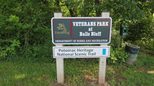
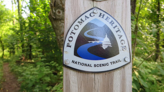
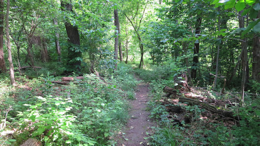
6/26/2018 On the way out I spotted a sign, and pulled over for a short walk along the Potomac Heritage NST [VA].
The park trail sign
|
The trail marker post ...
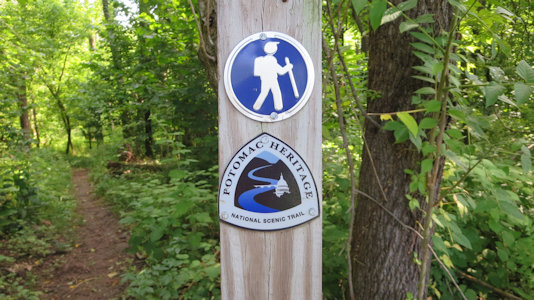
|
... with emblem
|
A view down the trail
|
9/25/2021
Mason Neck State Park ...
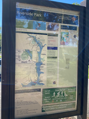
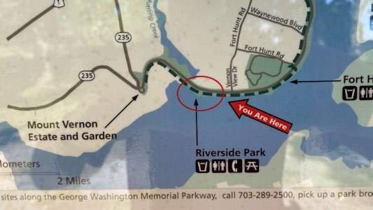
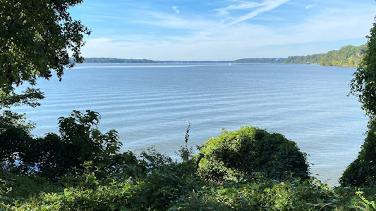
I then stopped right near Mount Vernon in Fort Hunt, MD at Riverside Park. My goal was to hit the
Mount Vernon Trail (part of George Washington Memorial Parkway), which I did - a very pretty area overlooking the Potomac. However,
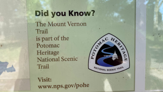
on the NPS sign I found, it said “Did you know that the Mt. Vernon Trail is part of the Potomac NST?” No, I didn’t - bonus again [VA]!
Interpretive signage
|
I am there
|
I do now!
|
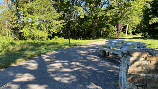
Looking down the Mount Vernon Trail
|
Me near the banks of ...
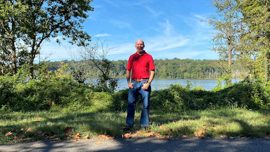
|
... the Potomac
|